Download as PDF, PPTX

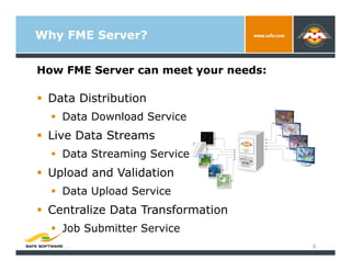

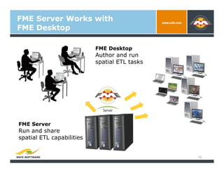
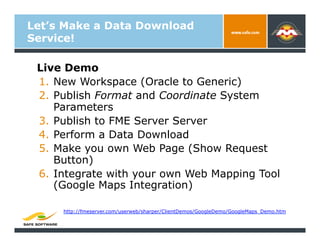
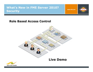
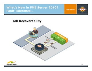
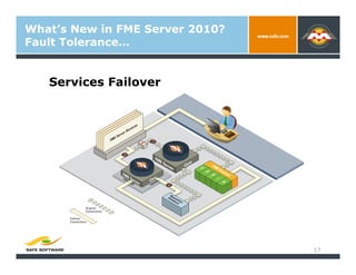
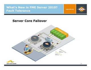
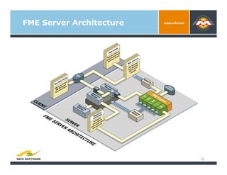
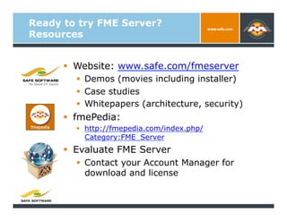


FME Server 2010 enables organizations to share spatial data through flexible web services. It provides data distribution, live data streaming, upload/validation, and centralized data transformation capabilities. The presentation introduces FME Server and demonstrates authoring workflows, including publishing a data download service and integrating with web mapping tools. New features in FME Server 2010 include enhanced security with role-based access control and fault tolerance through job recoverability and service failover. Resources for learning more include the website, fmePedia, and contacting an account manager to evaluate FME Server.