Download to read offline

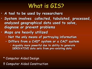


This document provides an overview and syllabus for an introductory course on Geographic Information Systems (GIS). It outlines that grades are based on exams and lab assignments, with exams making up 66% of the grade and labs 34%. It describes the software and hardware available for lab exercises. It defines GIS as a tool for researchers to collect, analyze, and map geographical data to solve problems. Key aspects of GIS include data input, storage, manipulation, analysis, and display in maps, tables, or graphs. It provides examples of using GIS to overlay vector maps to create new derivative data layers.