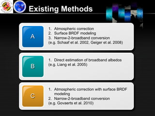
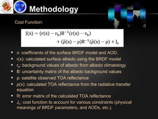
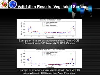
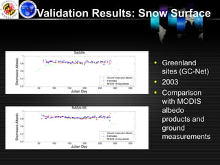
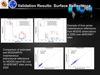
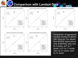
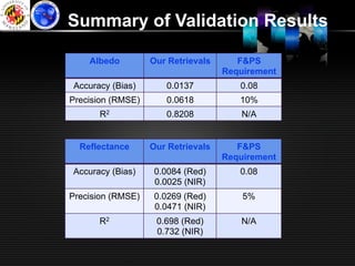
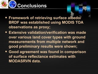
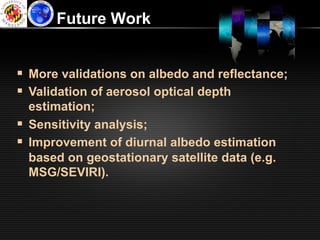
The document presents a methodology for prototyping an albedo algorithm for GOES-R using MODIS data. It uses an optimization approach that incorporates atmospheric radiative transfer modeling and land surface BRDF modeling to estimate surface albedo, spectral reflectance, and aerosol optical depth from MODIS TOA reflectance observations. The estimates were validated against ground measurements and other satellite products, showing good agreement within F&PS requirements for albedo accuracy and reflectance precision. Future work will include additional validations and improving diurnal albedo estimation using geostationary data.