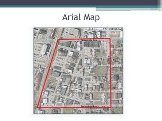
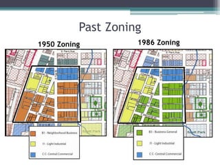
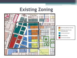
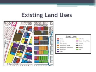
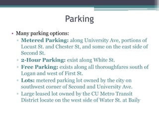
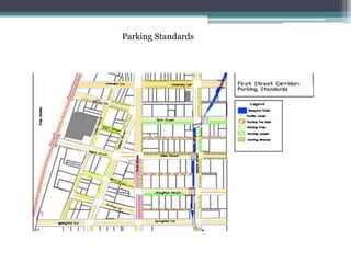
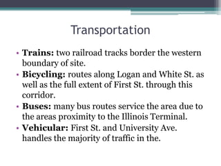
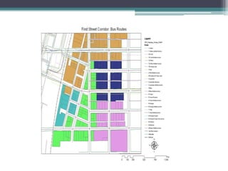
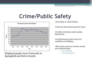
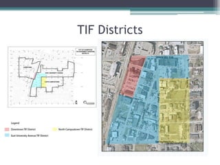
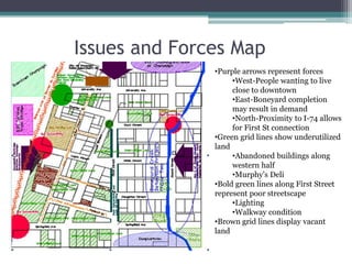
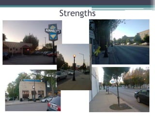
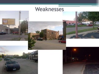
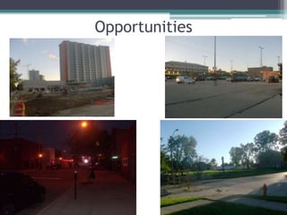
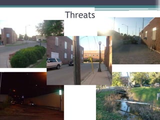
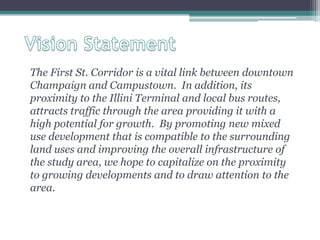
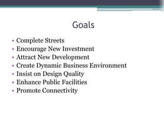
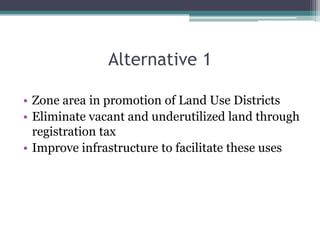
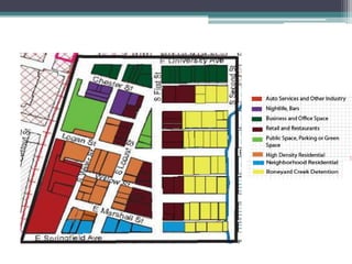
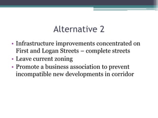
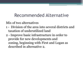
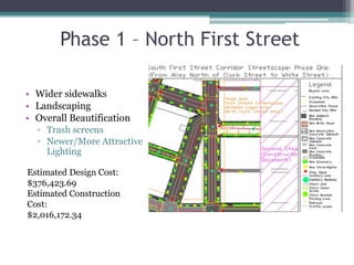
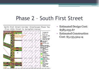
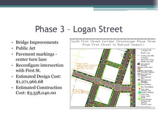
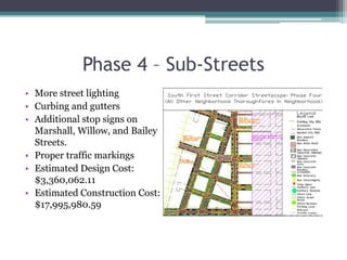
First Street CorridorMike Rizzitiello, Jen Weizeorick, Dennis Latto, Sal Villardita, Ed Lelo, and Bobby Higgins
Arial Map
Zoning and Land Uses
Past Zoning1986 Zoning1950 Zoning
Existing Zoning
Existing Land Uses
Existing Conditions
Sewer and DrainageMost city streets in area have storm sewer. Some streets like sections of Marshall, Willow, Bailey, and Water lack proper drainage.BoneyardCreek and Healey Street Detention Basin are where the majority of surface storm water is drained.Springfield Ave and Logan Street viaducts flood frequently.Adequate sanitary sewer serves area. (located in middle of most city streets.)
UtilitiesFourteen Fire Hydrants in the study area.
Natural Energy and Electricity Provider is AmerenIP. Most gas mains located on west side of the street.
Electricity lines are above ground.
Public water supply is operated by a private company: Illinois American Water. Most mains are on east side of street. Building ConditionsManually walked every street in the area and recorded a numerical point value for each building.1=Perfect Condition2=Good Condition3 = Fair Condition4 = Poor Condition5 = Very Poor Condition.
Road Conditions and Lighting
ParkingMany parking options:Metered Parking: along University Ave, portions of Locust St. and Chester St, and some on the east side of Second St.2-Hour Parking: exist along White St.Free Parking: exists along all thoroughfares south of Logan and west of First St.Lots: metered parking lot owned by the city on southwest corner of Second and University Ave. Large leased lot owned by the CU Metro Transit District locate on the west side of Water St. at Baily
Parking Standards
TransportationTrains: two railroad tracks border the western boundary of site. Bicycling: routes along Logan and White St. as well as the full extent of First St. through this corridor. Buses: many bus routes service the area due to the areas proximity to the Illinois Terminal.Vehicular: First St. and University Ave. handles the majority of traffic in the.
Crime/Public SafetyArea led by Lt. Brad Yohnka.
Crime has decreased in past few years.
Corridor is directly south of police department.
Local businesses main concern is vandalism on buildings.
Most crime occurs on western section near railroad tracks.
Lack of lighting
Vacant/Storage lotsDisplayed graph covers University to Springfield and Neil to Fourth.
TIF Districts
Issues
         Issues and Forces MapPurple arrows represent forces
West-People wanting to live close to downtown
East-Boneyard completion may result in demand
North-Proximity to I-74 allows for First St connection
Green grid lines show underutilized land
Abandoned buildings along western half
Murphy’s Deli
Bold green lines along First Street represent poor streetscape
Lighting
Walkway condition
Brown grid lines display vacant landStrengths
Weaknesses
Opportunities

First Street Corridor Final