Download to read offline

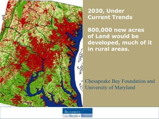
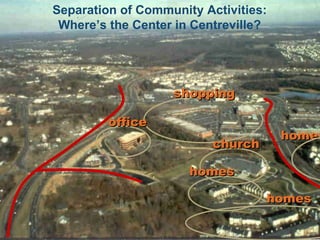
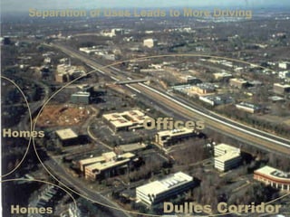
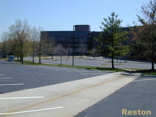

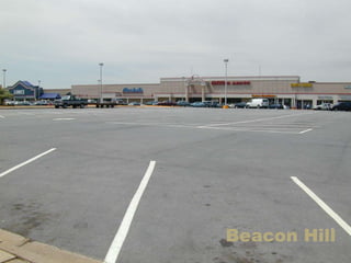
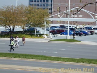
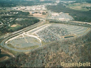
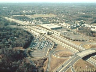
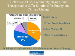
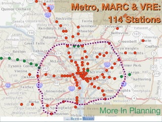
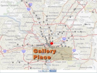
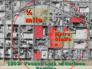
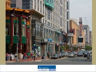
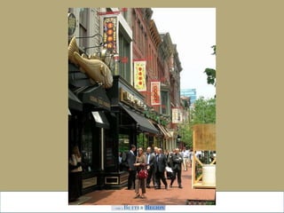
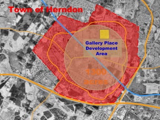
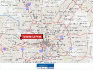
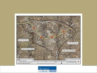
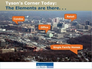
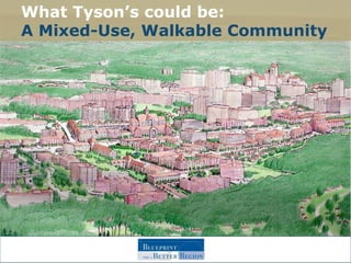
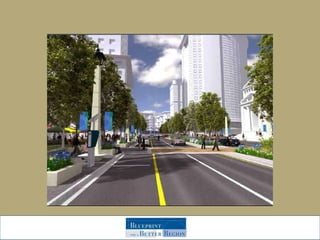
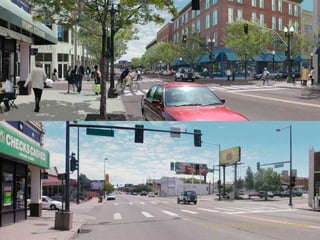
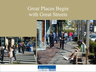
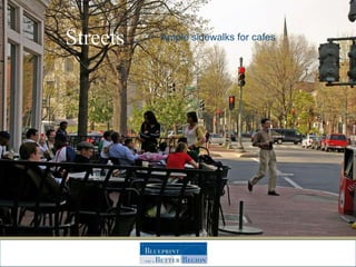
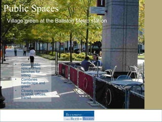
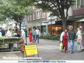
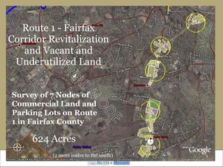
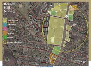
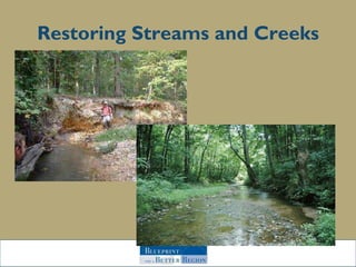
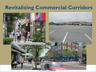
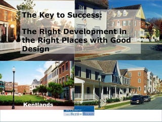

The document discusses the benefits of smarter growth and development patterns that concentrate new growth in existing communities rather than allowing sprawl. If current trends continue, 800,000 new acres of land would be developed by 2030, much in rural areas. However, better land use, community design and transportation can help address issues like energy use and climate change. Examples are given of areas like Tysons Corner that were retrofitted into more walkable, mixed-use communities with transportation options beyond cars. The vision is to apply these principles more broadly to benefit both the environment and quality of life.


