Download to read offline
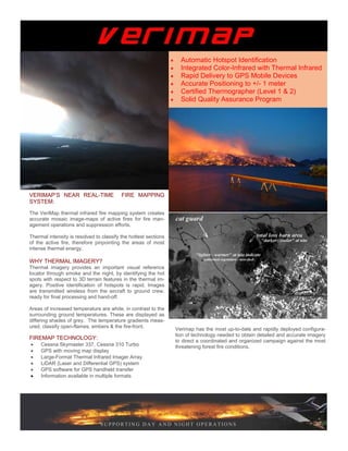
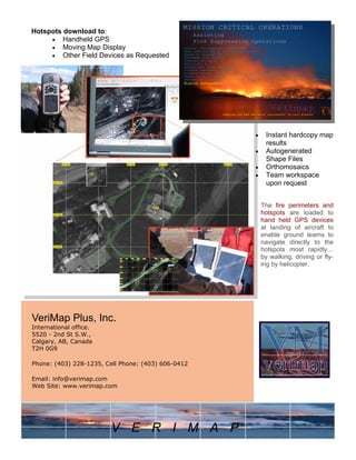

VeriMap provides near real-time fire mapping services using thermal infrared imaging from aircraft to identify hotspots within active wildfires. Thermal imagery can detect hotspots through smoke and at night to help direct firefighting efforts. High resolution color and infrared maps are delivered within a few hours, along with GPS coordinates of hotspots, to support fire management operations day and night. VeriMap aims to rapidly map large areas with high accuracy using certified personnel and flexible resolution options.