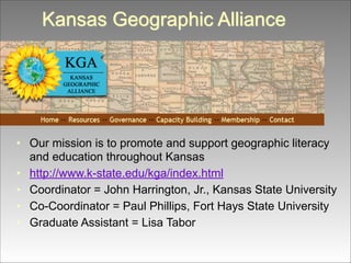
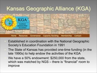
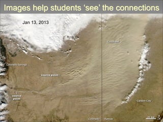
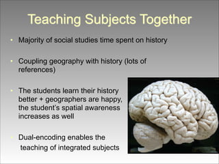
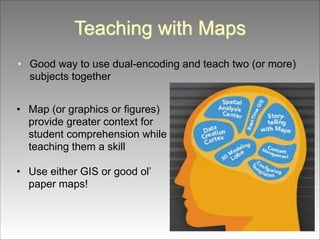
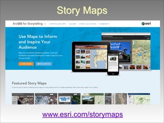
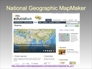
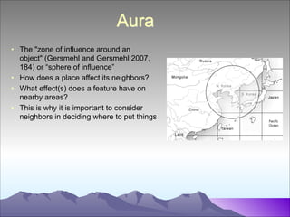
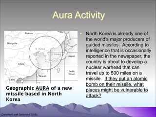
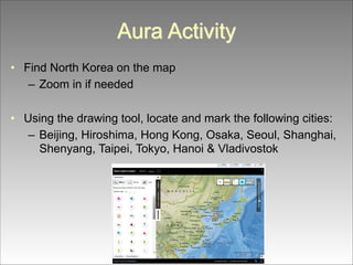
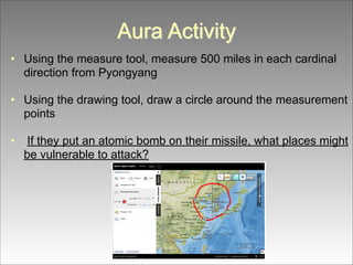
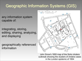
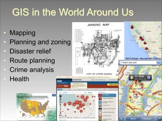
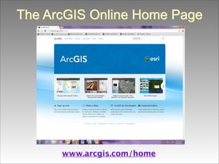
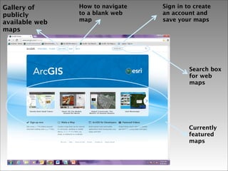
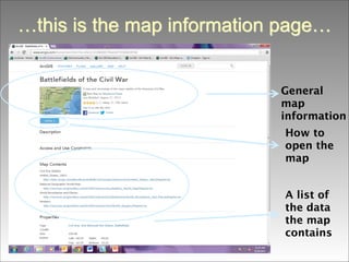
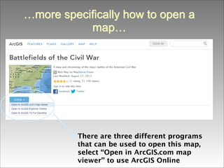
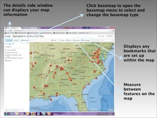
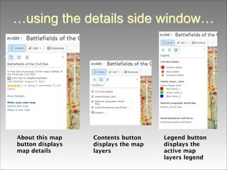
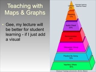
The document outlines an educational initiative involving the integration of geography and history through activities centered on American presidents and spatial awareness. It emphasizes the role of dual coding, combining visual and verbal learning, to enhance comprehension and retention in the classroom. The Kansas Geographic Alliance promotes geographic literacy, providing resources for teaching with maps and Geographic Information Systems (GIS) to engage K-12 students effectively.
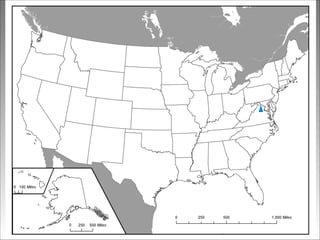
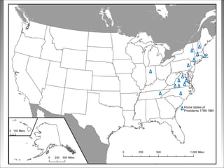
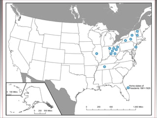
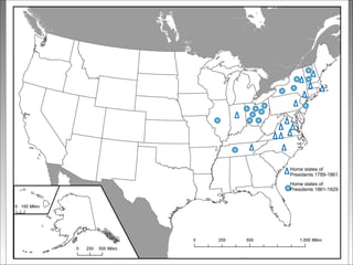
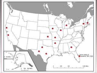
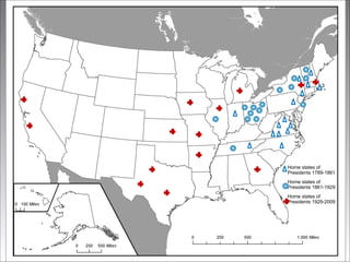
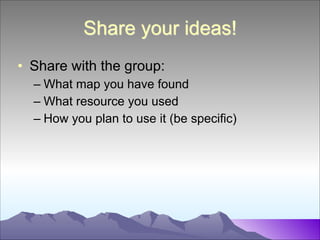
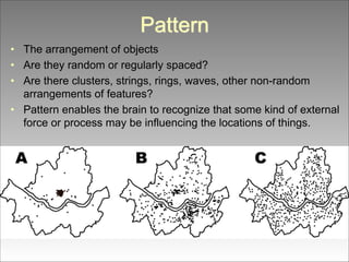
![American Presidents Activity
• This is an example of linking history and
geography
!
• It also has students engaged in thinking
about spatial patterns – working on
vocabulary related to describing pattern
• The activity also uses dual coding [both text
and graphics]](https://image.slidesharecdn.com/essdackteachingwithmaps-140219104423-phpapp02/85/ESSDACK-Teaching-with-Maps-8-320.jpg)
![Teaching with Maps & Graphs
!
Kansas Geographic Alliance
!
!
John Harrington Jr. [Geography]
jharrin@ksu.edu
Lisa Tabor [Curriculum & Instruction]
lkt7779@ksu.edu](https://image.slidesharecdn.com/essdackteachingwithmaps-140219104423-phpapp02/85/ESSDACK-Teaching-with-Maps-10-320.jpg)