Download to read offline
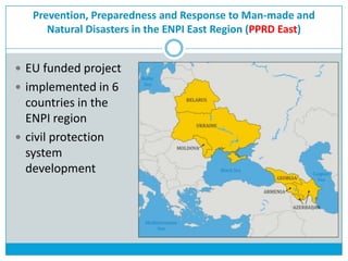
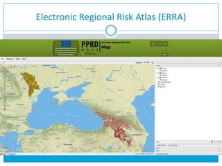
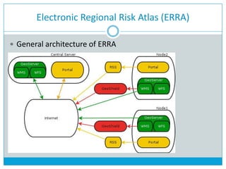
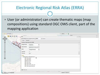
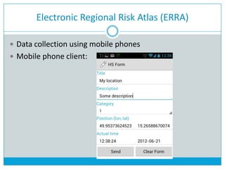
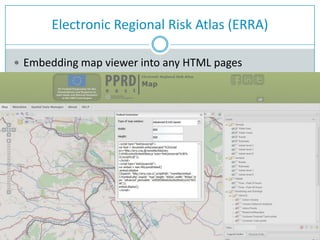
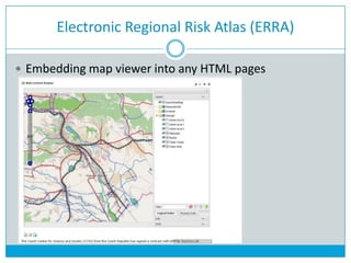
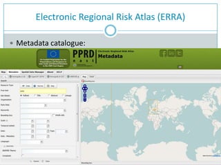
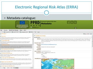
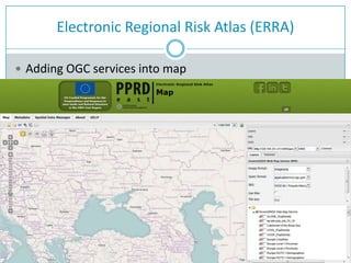
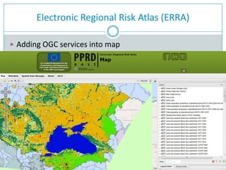
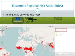


The document discusses the technical solution for the Electronic Regional Risk Atlas (ERRA) project. ERRA is being developed as part of the EU funded Prevention, Preparedness and Response to Man-made and Natural Disasters in the ENPI East Region project to help 6 countries in the region improve their civil protection systems. The solution is based on open standards and enables users to search, view, analyze and download civil protection data through a multilingual geoportal. It allows for the creation of thematic maps, collection of data using mobile phones, and embedding of maps and services.


