Download to read offline

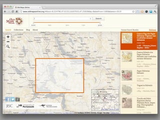
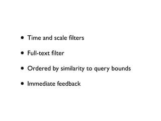
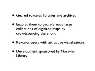
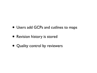
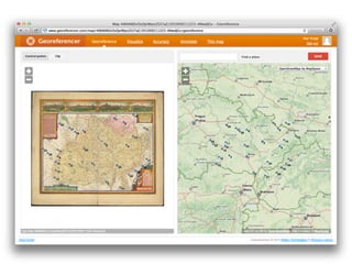
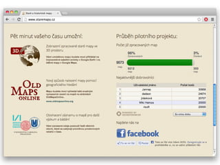
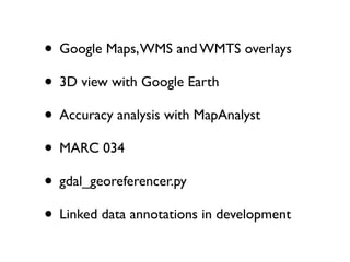
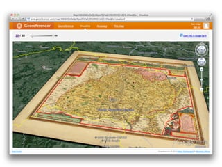
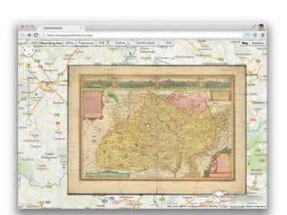


This document describes two online tools for exploring historical maps: Old Maps Online and Georeferencer. Old Maps Online allows users to search over 130,000 digitized historical maps and links back to the original archives. Georeferencer is a crowdsourcing tool that allows users to georeference digitized maps by adding ground control points and cutlines, with revisions tracked. Both tools provide visualization of georeferenced maps through overlays on Google Maps, Google Earth, and other platforms.


