Downloaded 182 times


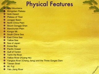
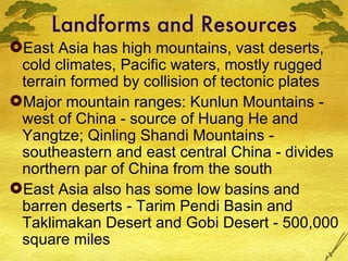

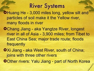
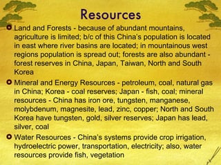
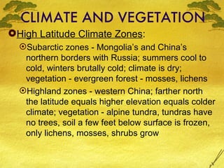
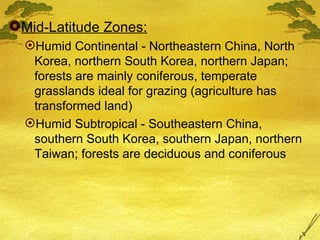
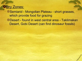


East Asia has diverse physical features ranging from high mountain ranges like the Kunlun Mountains to vast deserts like the Gobi and Taklimakan. Major river systems that dominate the geography include the Huang He, Yangtze, and Xi Rivers. The region has a variety of climate zones from subarctic in the north of China and Mongolia to humid subtropical in southern China, Korea, and Japan. Natural resources are abundant and include minerals, forests, freshwater, and petroleum.


![{[American Airlines Student Discount ]}★ Booking Guide 2026.pptx](https://cdn.slidesharecdn.com/ss_thumbnails/americanairlinesstudentdiscountbookingguide2026-260131065509-90065aae-thumbnail.jpg?width=640&height=640&fit=bounds)


