Downloaded 116 times
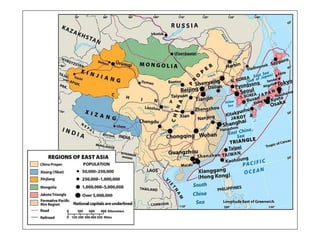

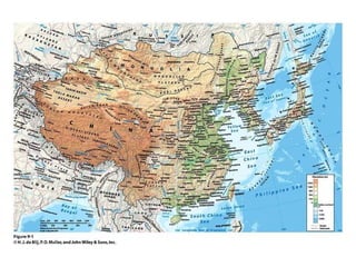

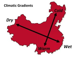
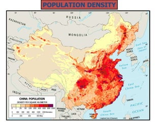

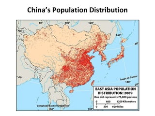
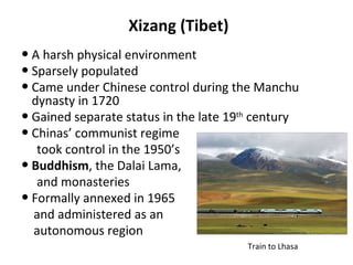
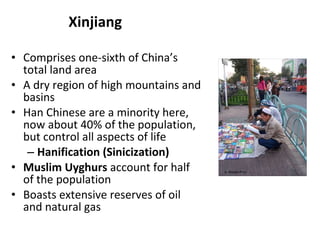
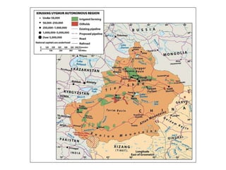
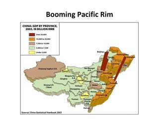
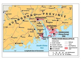
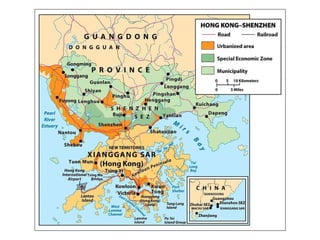
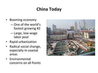
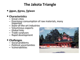
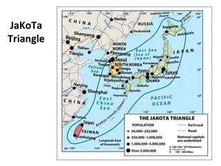
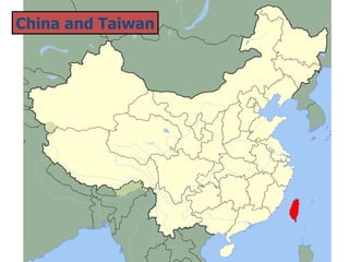
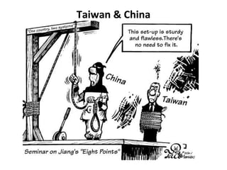
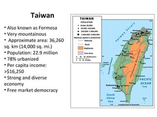

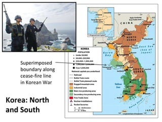
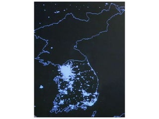

The document provides an overview of East Asia, focusing on China, Taiwan, Japan, and the Koreas. It describes the region's major geographic features, including coastal population concentrations and environmental stresses. It discusses the historical and ongoing political, economic, and cultural transformations in the region, including rapid economic growth. Key issues include territorial disputes over Taiwan and islands in the South China Sea.


