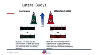
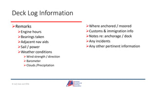
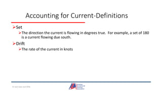
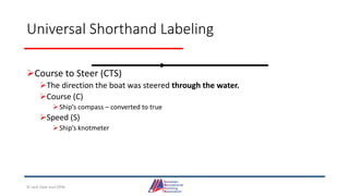
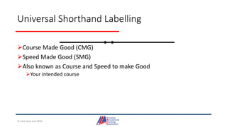
Downloaded 12 times

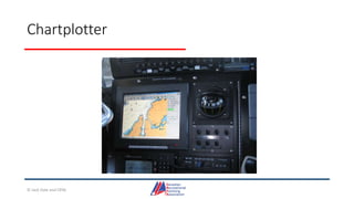


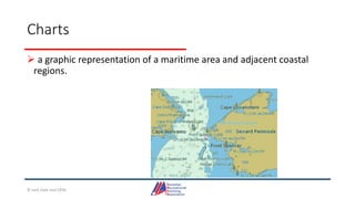
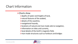
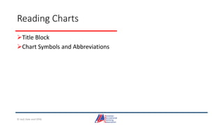

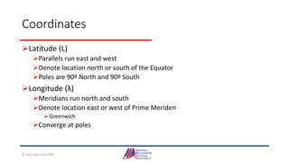

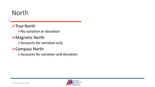
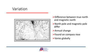
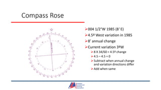
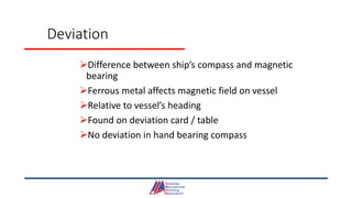
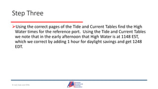
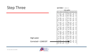
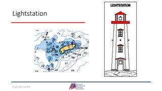
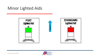
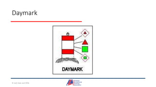
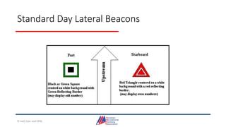
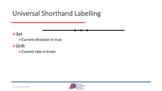
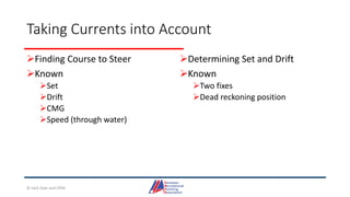
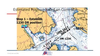


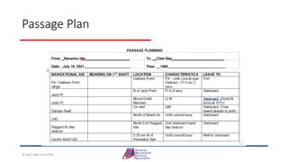

This document provides information about coastal navigation, including: - Official charts and publications are required for most vessels in Canada. Paper charts meet regulations but digital charts may only if used with ECDIS. - It discusses navigational tools like plotters, compasses and publications like tide tables that are used for coastal navigation. - Key aspects of charts are explained like chart scale and classification, important symbols, and how to read the title block, graticule and determine positions using latitude and longitude.


