Download to read offline


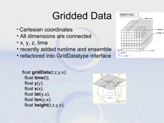
![GridDatatype methods
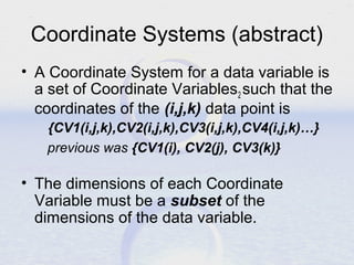
CoordinateAxis getTaxis();
CoordinateAxis getXaxis();
CoordinateAxis getYaxis();
CoordinateAxis getZaxis();
Projection getProjection();
int[] findXYindexFromCoord( double x_coord,
double y_coord);
LatLonRect getLatLonBoundingBox();
Array getDataSlice (Range[] …)
GridDatatype makeSubset (Range[] …)](https://image.slidesharecdn.com/commondatamodel-140218123714-phpapp02/85/Unidata-s-Common-Data-Model-21-320.jpg)


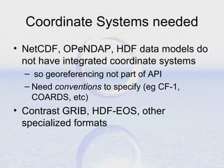
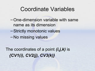
The document discusses Unidata's Common Data Model (CDM) which aims to provide a standardized way of representing scientific datasets. It describes key components of the CDM including scientific data types, coordinate systems, and data access layers. The goals are to make datasets more useful and interoperable by defining common semantics, georeferencing, and specialized querying capabilities. The CDM defines abstract representations that are agnostic of specific file formats or programming interfaces.