Downloaded 506 times


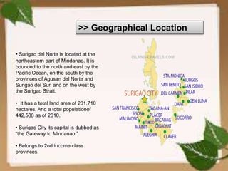
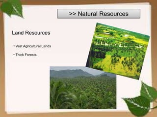
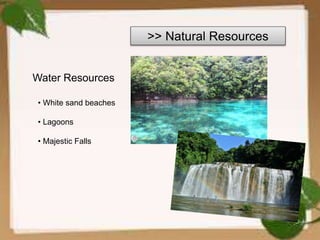
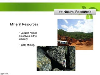

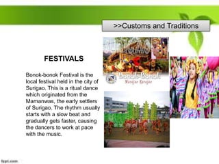


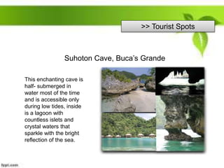
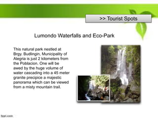
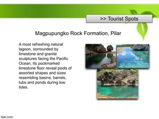


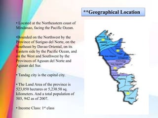

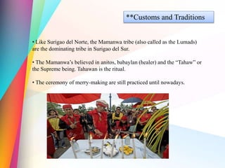

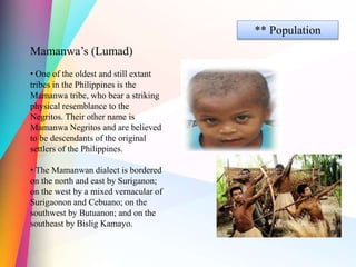

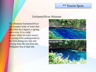
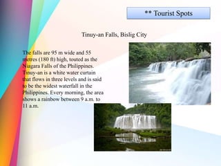
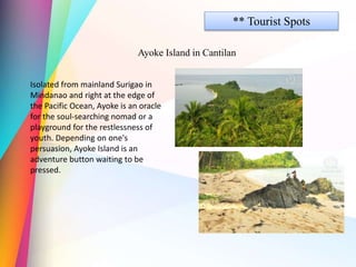


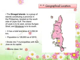
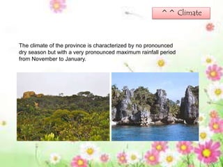
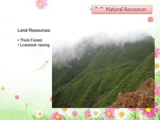
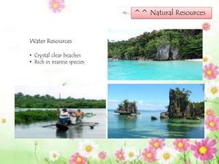
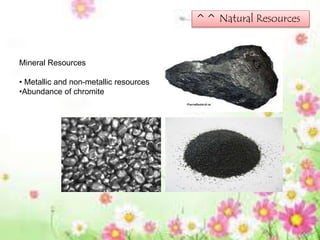

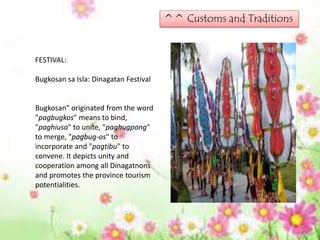
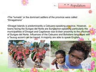
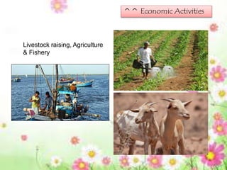
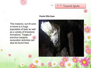


This document provides information about the province of Surigao del Norte in the Caraga region of the Philippines. Some key details: - Surigao del Norte is located in northeastern Mindanao, bounded by the Pacific Ocean, Surigao del Sur, Agusan del Norte and the Surigao Strait. Surigao City is the capital. - The province has vast agricultural lands, thick forests, beaches, lagoons, falls and the largest nickel reserves in the country. - It was once part of the old Caraga territory and was separated from Surigao del Sur in 1960. The Mamanwa tribe are the dominant indigenous group. -


![{[American Airlines Student Discount ]}★ Booking Guide 2026.pptx](https://cdn.slidesharecdn.com/ss_thumbnails/americanairlinesstudentdiscountbookingguide2026-260131065509-90065aae-thumbnail.jpg?width=640&height=640&fit=bounds)


