The document summarizes the 8 physical regions of Canada:
1) The Appalachian region has rolling mountains and fertile plateaus used for farming and mining. Environmental concerns include destroying ancient mountains and polluting the air when mountains are blasted.
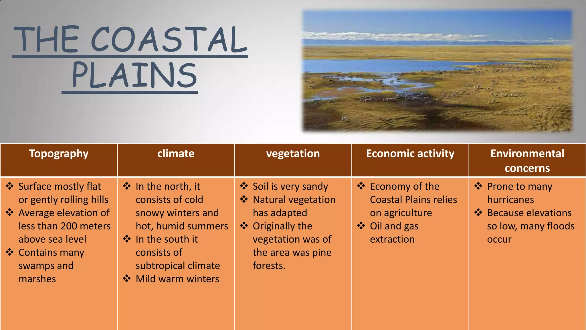
2) The Coastal Plains have flat or rolling land near the coast used for agriculture and oil/gas extraction. It is prone to hurricanes and flooding given its low elevations.
3) The Great Lakes-St. Lawrence Lowland has fertile soil and mixed forests, supporting agriculture, mining, and forestry. It has over half of Canada's population and resulting environmental issues like pollution.