Download to read offline
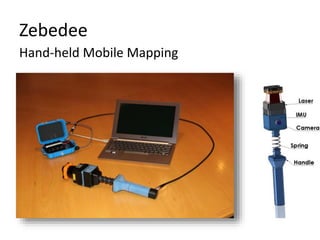
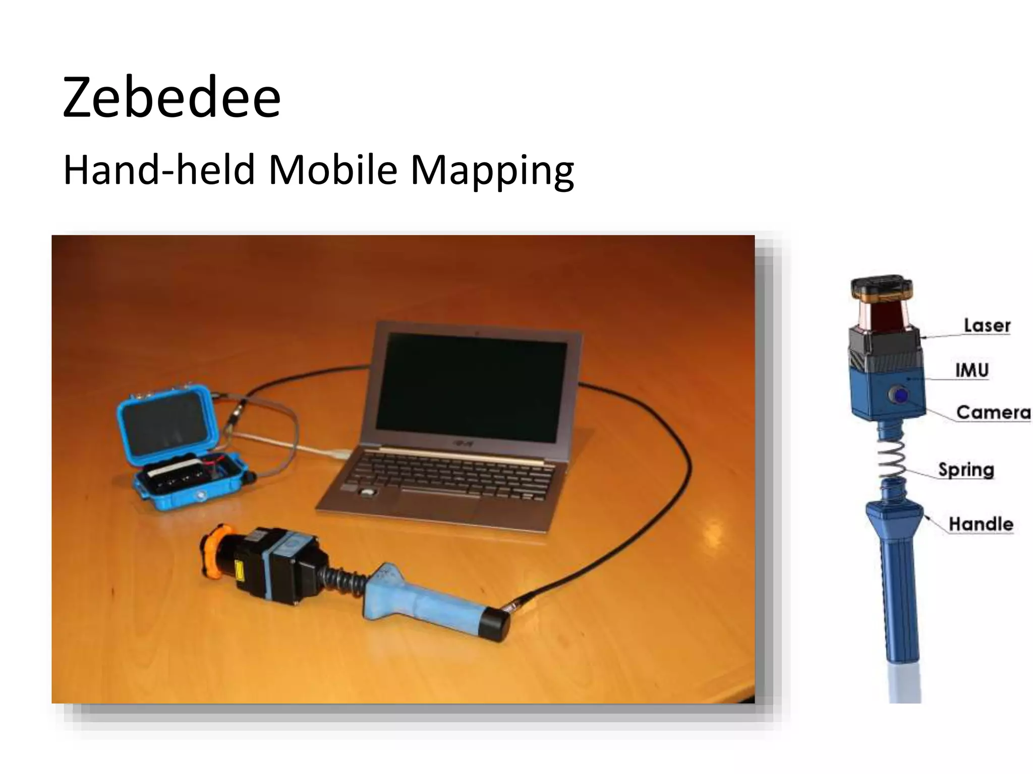
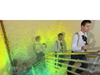
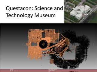
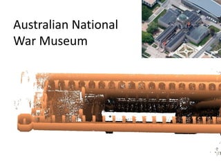
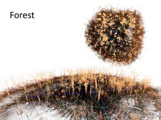
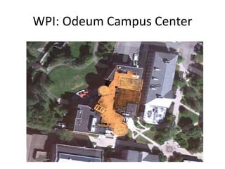
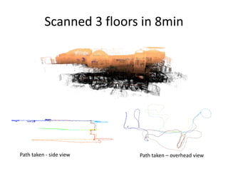
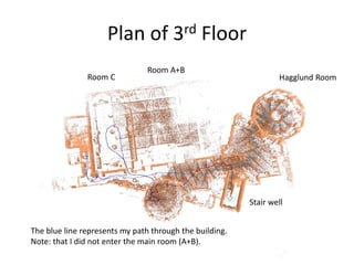
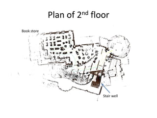
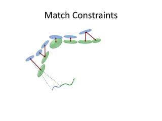
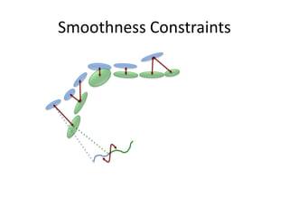
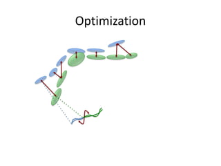
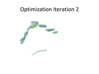

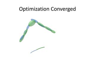
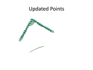
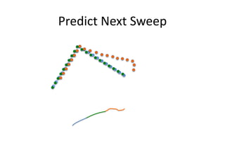
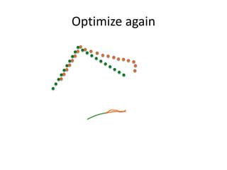
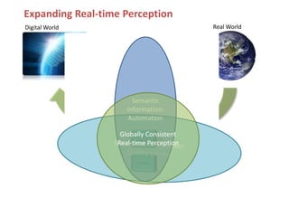
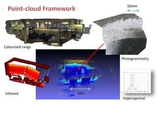

The document discusses Zebedee, a hand-held mobile mapping system. It scanned three floors of a building in 8 minutes, generating a point cloud and path taken. The point cloud was then optimized through an iterative process to produce a globally consistent, semantically informed 3D model in real-time. This system fuses range, image, and other sensor data to build accurate digital representations of the physical world.


![谷歌留痕技术 [ 𝙩𝙤𝙥 𝟮𝟯𝟯. 𝙘 𝙤𝙢 ]](https://cdn.slidesharecdn.com/ss_thumbnails/top233-260130174328-3833018c-thumbnail.jpg?width=640&height=640&fit=bounds)


