Download as PDF, PPTX
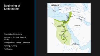

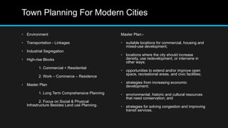
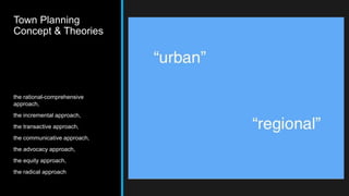
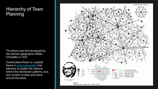
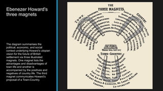
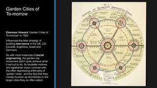
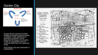
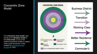
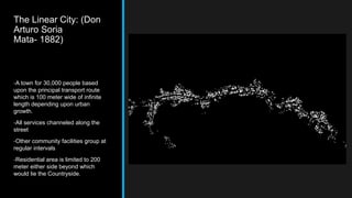
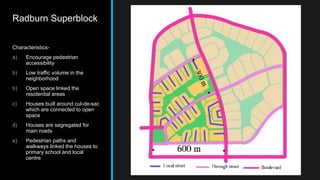
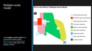


The document discusses several theories and models of urban and town planning from ancient to modern times. It describes the earliest river valley civilizations and oldest continuously inhabited cities. It then covers concepts in modern town planning like segregating industries, high-rise buildings, and master plans. Various approaches to town planning like rational, incremental, and communicative are mentioned. Models of urban structure and land use are summarized, including central place theory, Ebenezer Howard's three magnets diagram, the garden city movement, concentric zone model, linear city, Radburn superblock, neighborhood unit design, core frame model, sector model, and multiple nuclei model.


