Transportation Mapping
•
1 like•350 views

Continental Mapping has a lot of experience mapping in the transportation sector.
Recommended

Recommended
More Related Content
What's hot
What's hot (20)
Similar to Transportation Mapping
Similar to Transportation Mapping (20)
More from Continental Mapping Consultants
More from Continental Mapping Consultants (20)
Recently uploaded
Recently uploaded (20)
Transportation Mapping
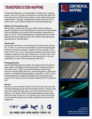
- 1. Contact us 888.815.3327 info@continentalmapping.com www.continentalmapping.com Continental Mapping is a transportation infrastructure mapping expert, with over 16 years of experience working with state and local agencies and the private sector to meet wide-ranging geo- spatial needs. Typically, transportation projects fall into one or more of four core solutions offered by Continental Mapping. Mobile and Terrestrial Lidar Being able to collect well over one million points of data per second enables Continental Mapping to travel at the listed speed limit yet still attain accuracies to the centimeter (depending on spec). In 2015, Continental Mapping completed the first mobile lidar-led asset management job in the history of the Minnesota Department of Transportation. Aerial Lidar Using lidar derived from a low-flying fixed wing aircraft, helicop- ter, or UAS, it’s common for aerial lidar to provide mapping with 0.03-foot vertical accuracies or higher on hard surfaces. In the case of I-44 in St. Louis, choosing low altitude aerial lidar meant supplying engineers with data necessary to do both major (new routing) and minor refurbishments (new pavement) to an over capacitated corridor without disrupting traffic flow. Photogrammetry Continental Mapping's foundation has always been focused on high quality, cost-effective photogrammetric mapping services. Since day one in 1999, Continental Mapping has provided services including flight planning, aerial triangulation, stereocom- pilation, and digital orthophotography production. In 2015, Conti- nental Mapping completed the largest scale photogrammetry project in the history of the Wisconsin Department of Transporta- tion. Survey Survey work is essential to attain the kind of high accuracy that Continental Mapping has built its business around. Survey is the glue that makes the data stick, but it’s far more than that. For instance, two highly trained Continental Mapping crews estab- lished the right of way for a US highway and a rail corridor that cut through the highly active military establishment at Fort Sill, Oklahoma.