Download to read offline
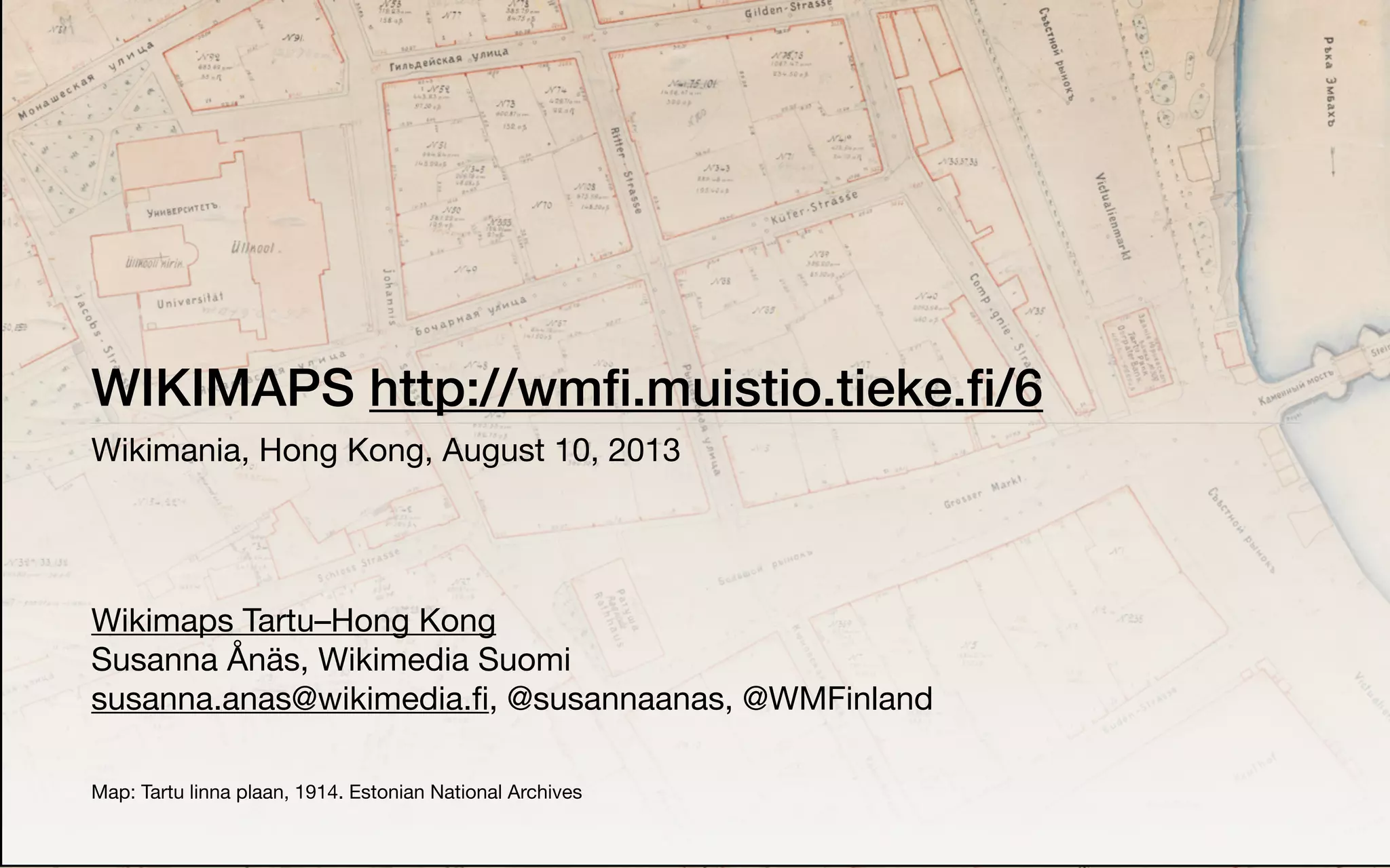
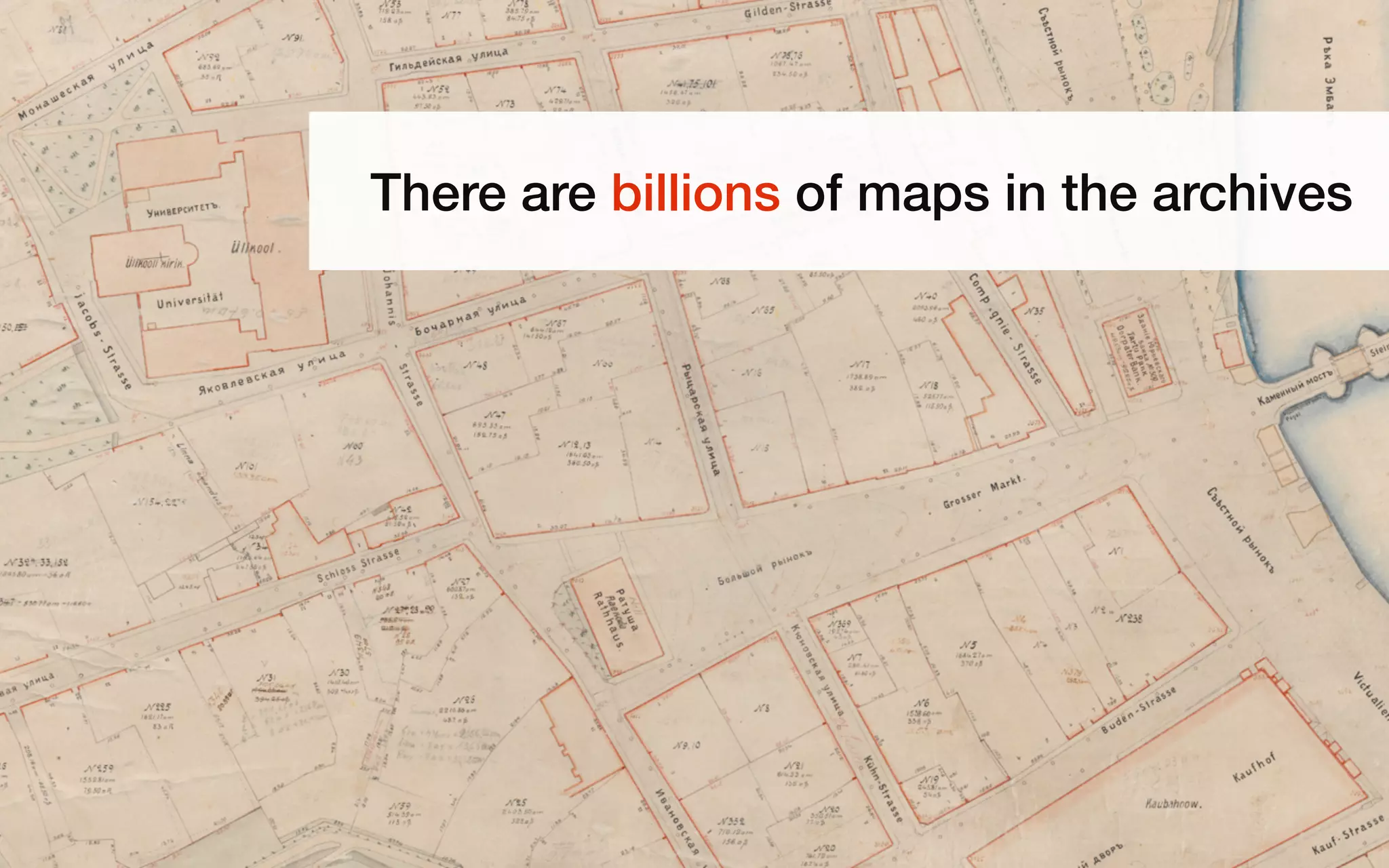
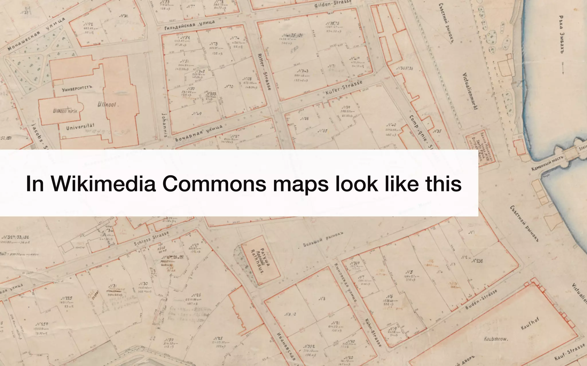
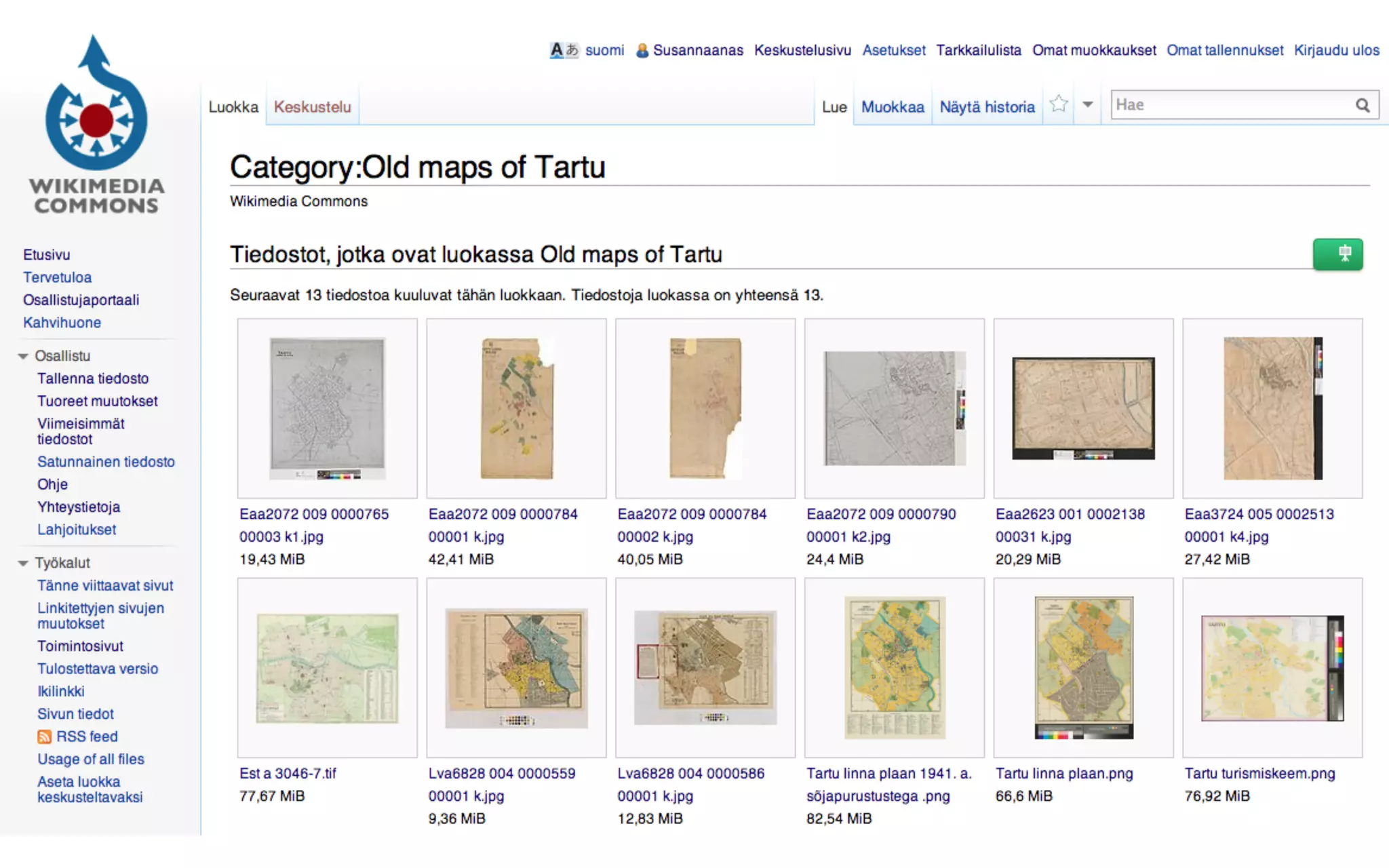
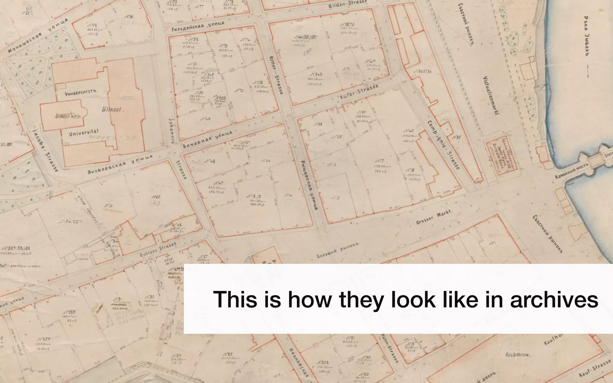
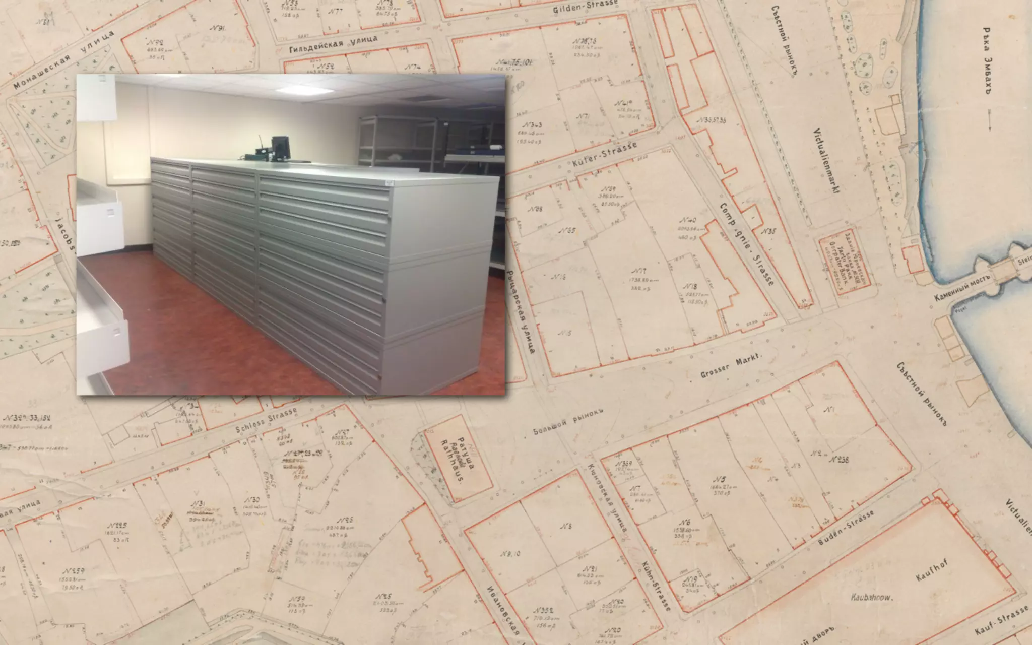
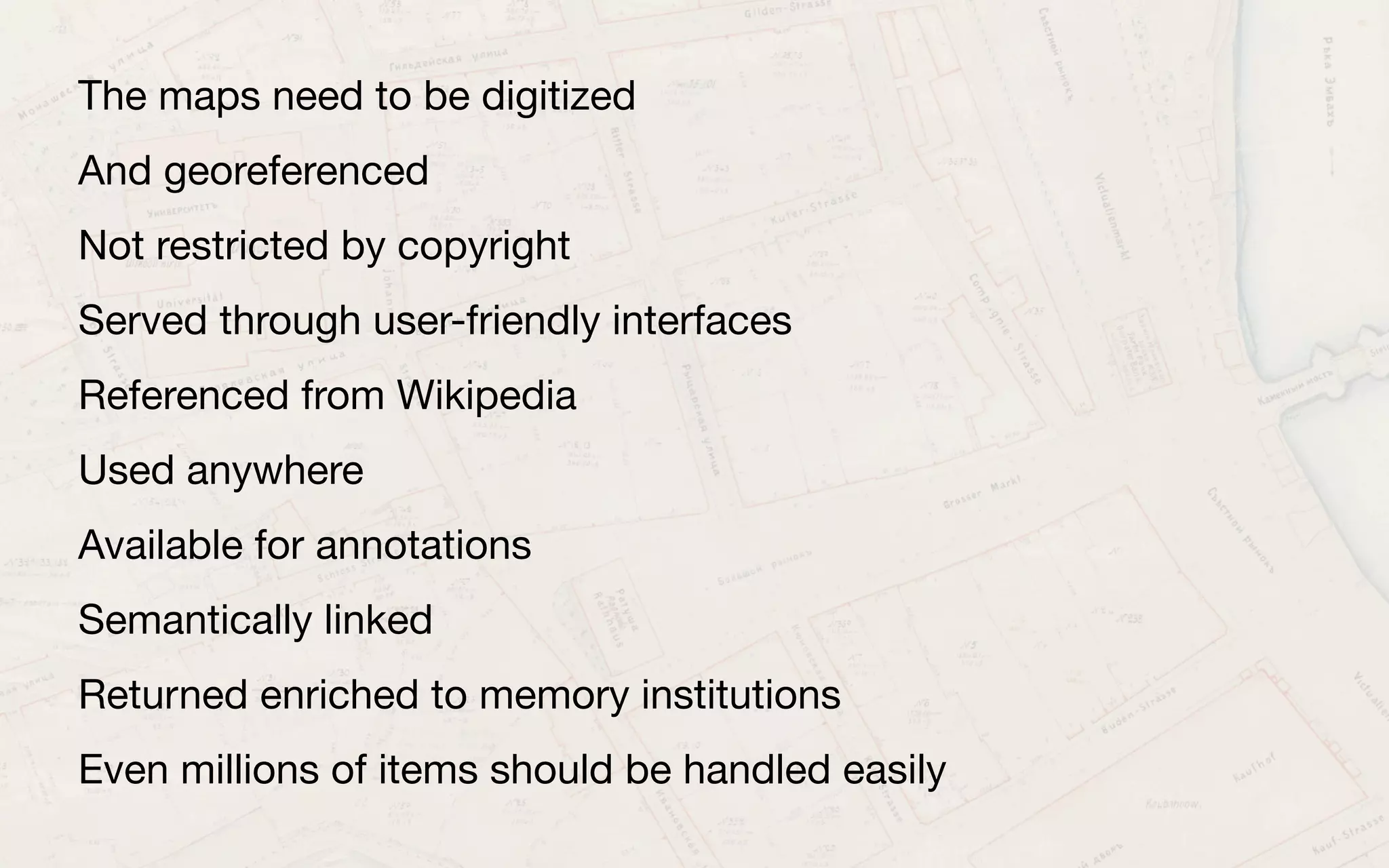
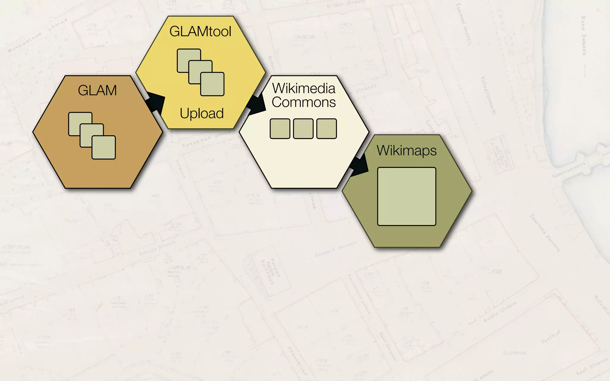
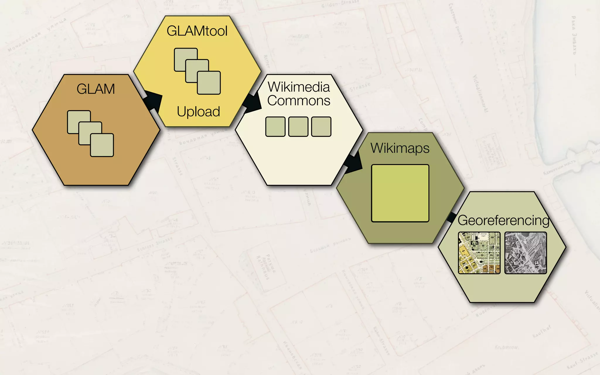
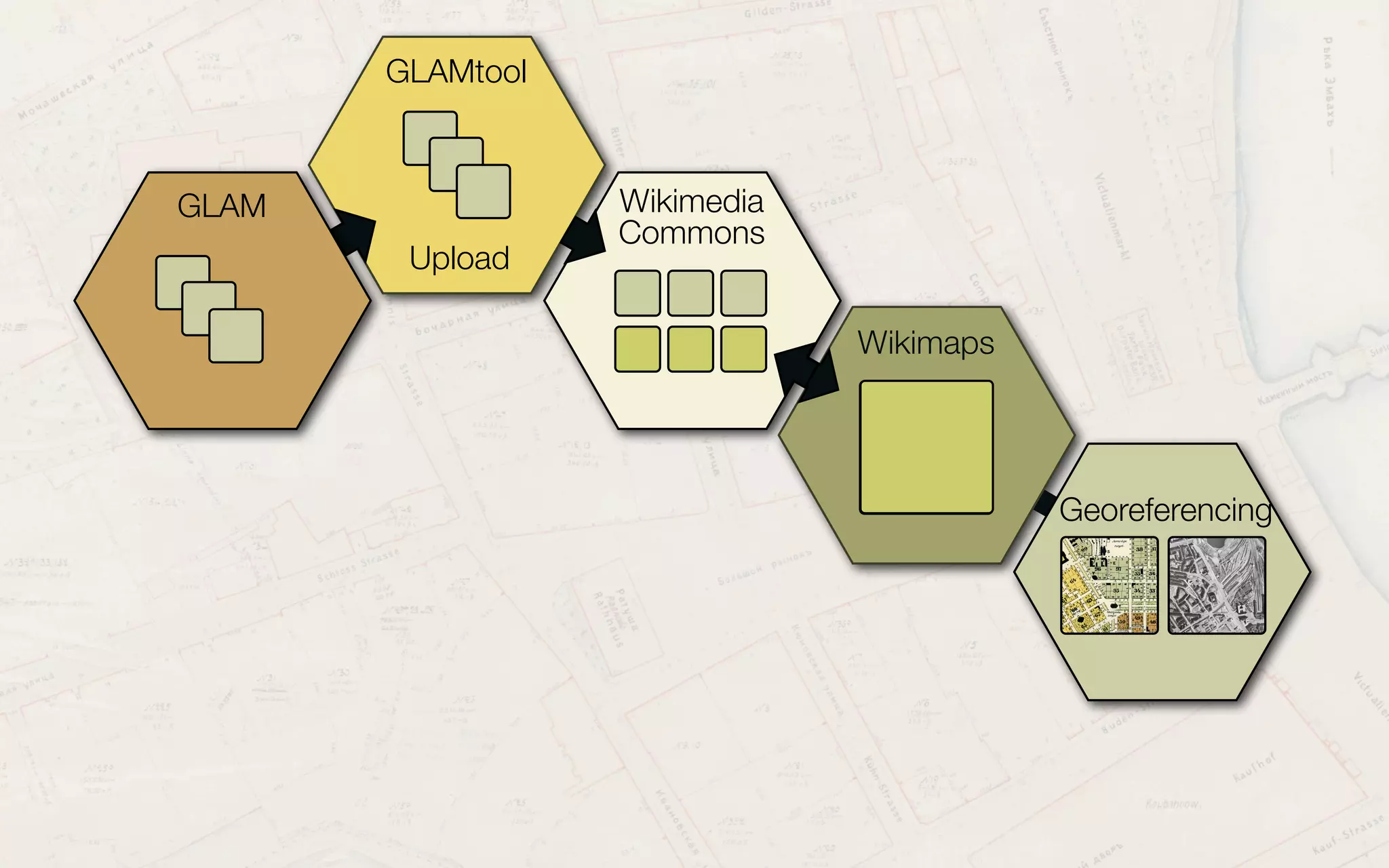
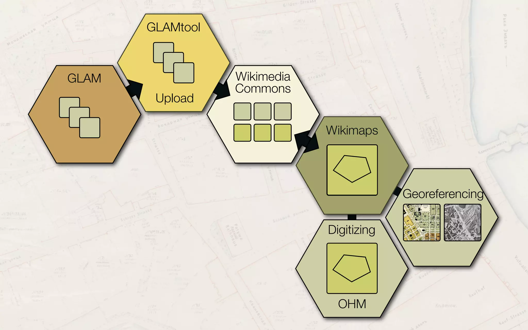
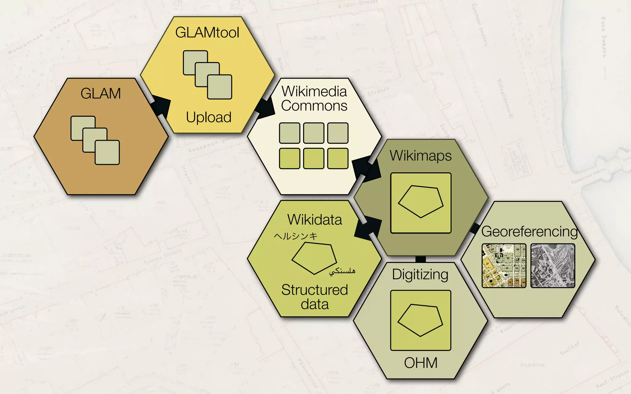
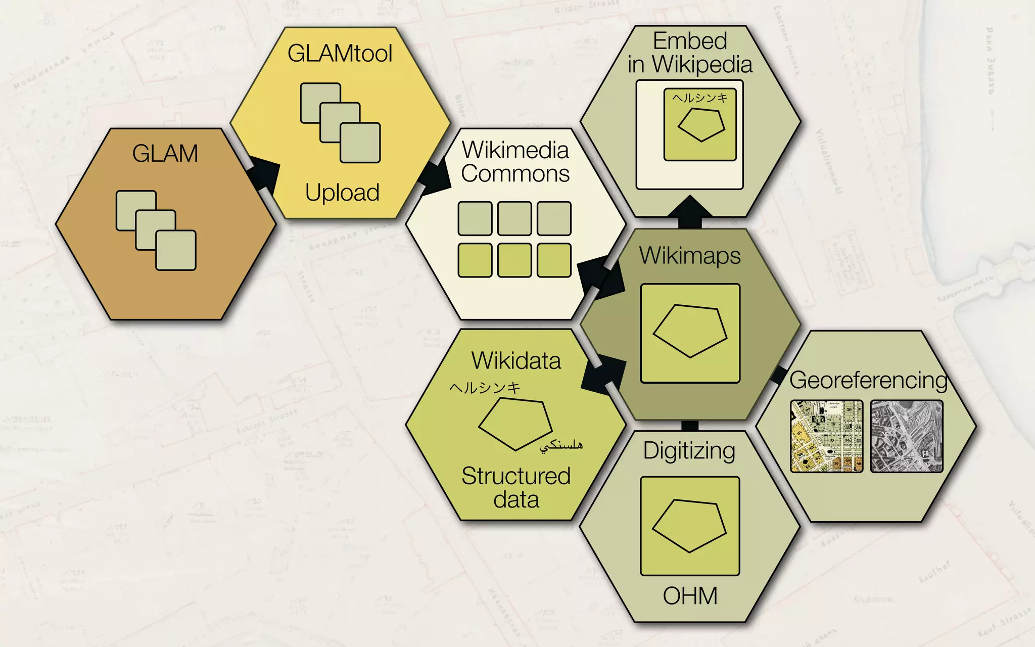
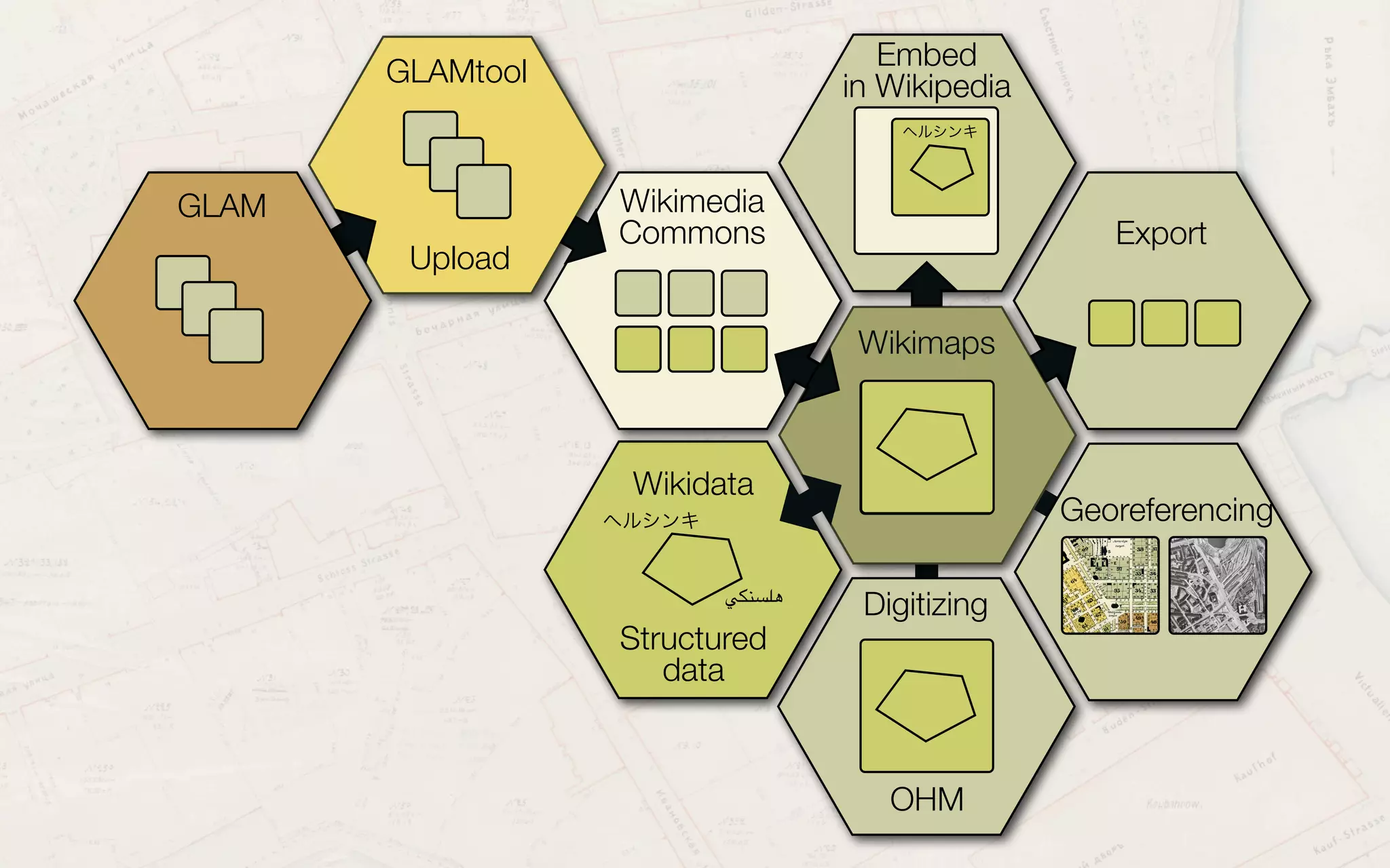
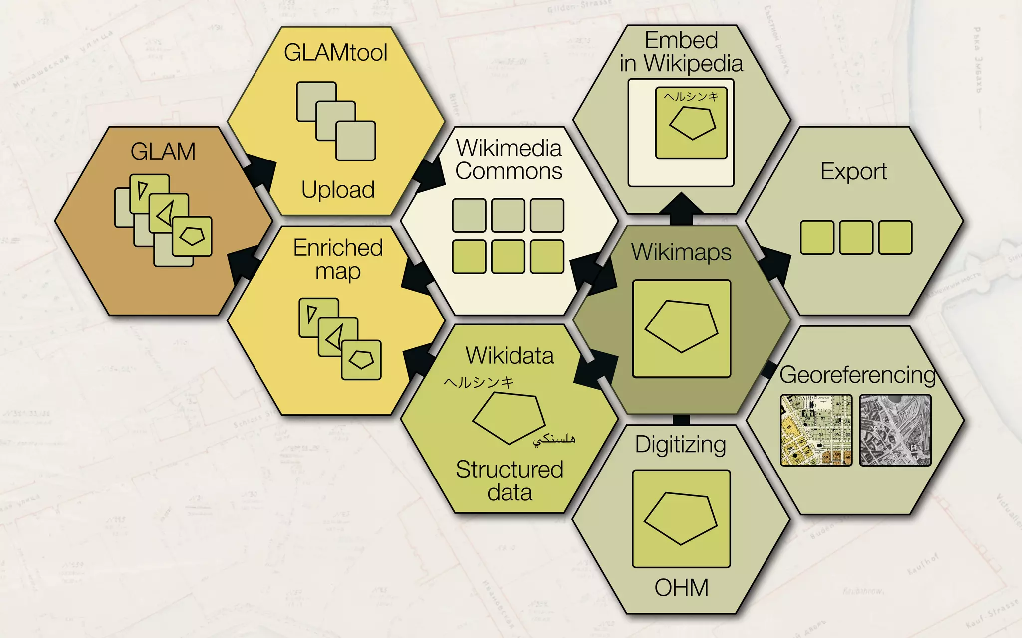
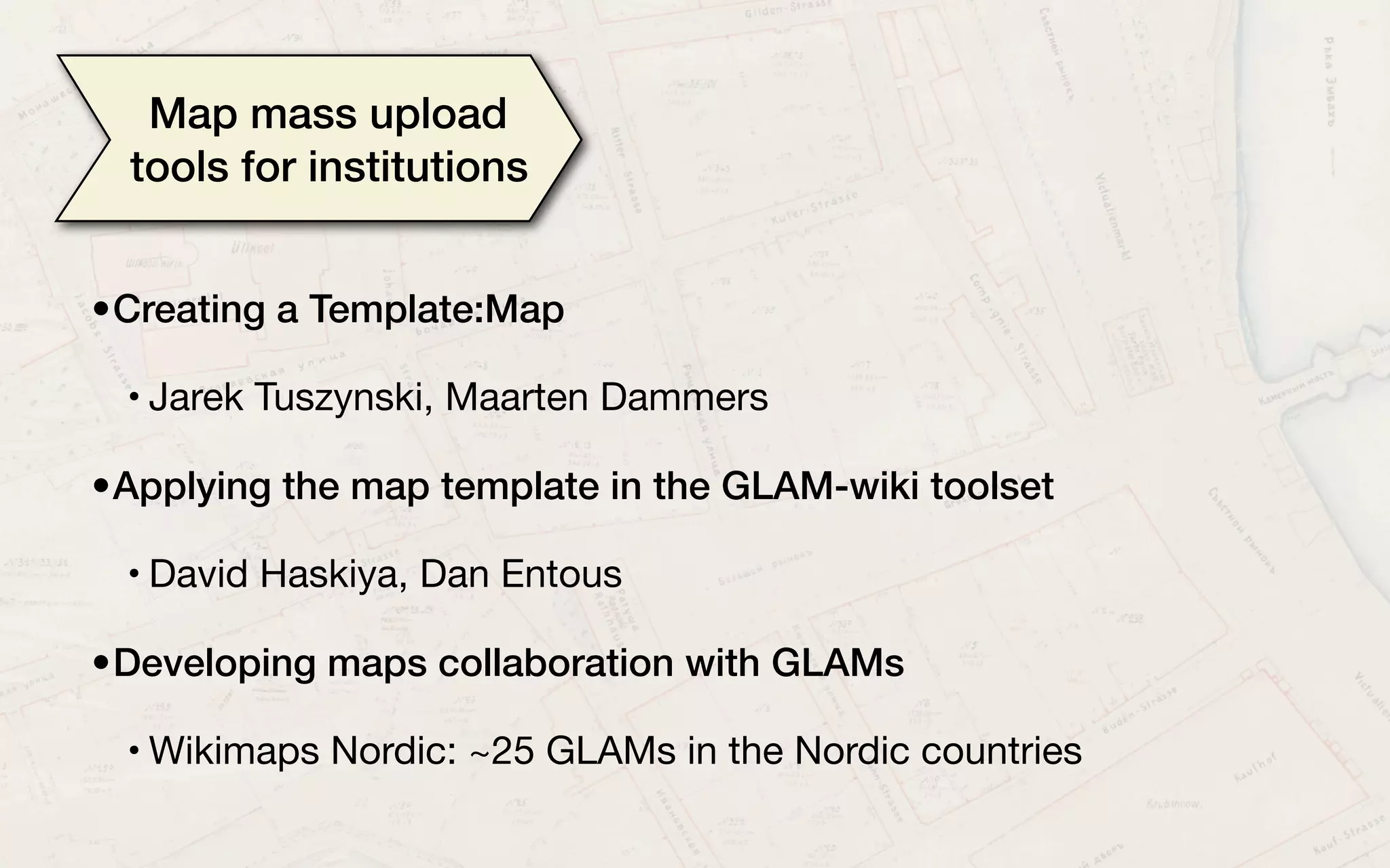
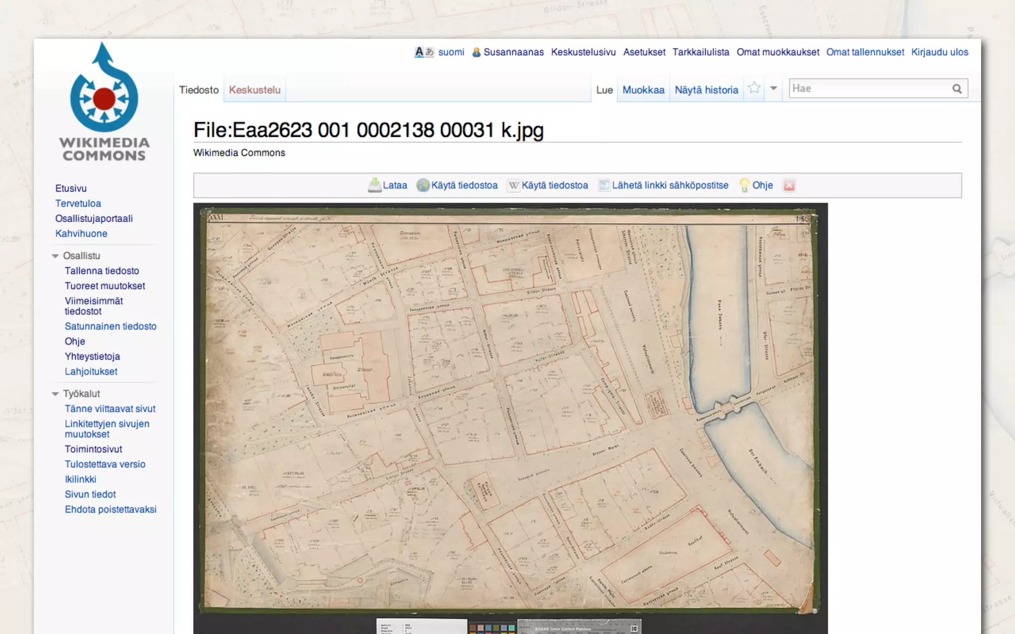

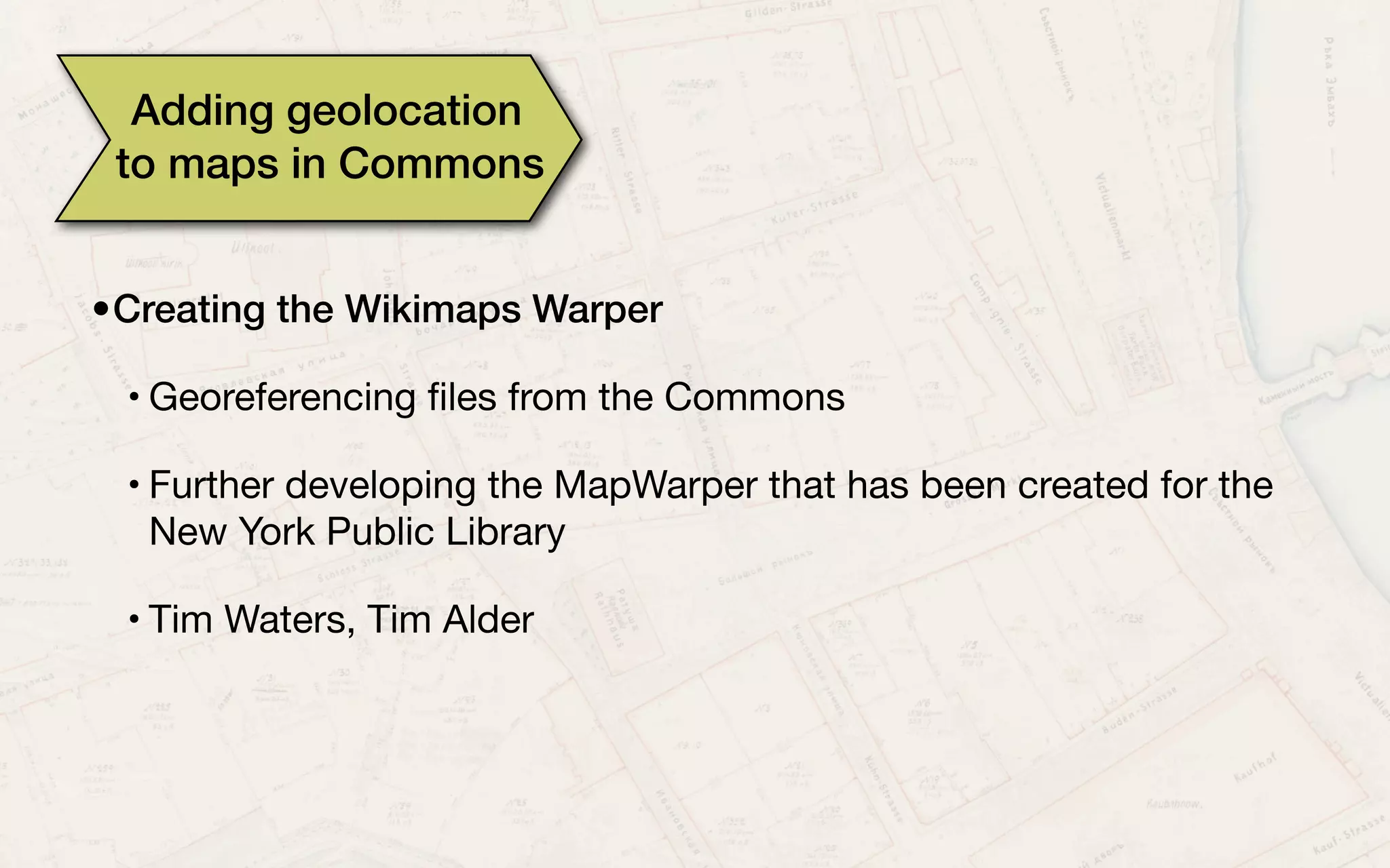
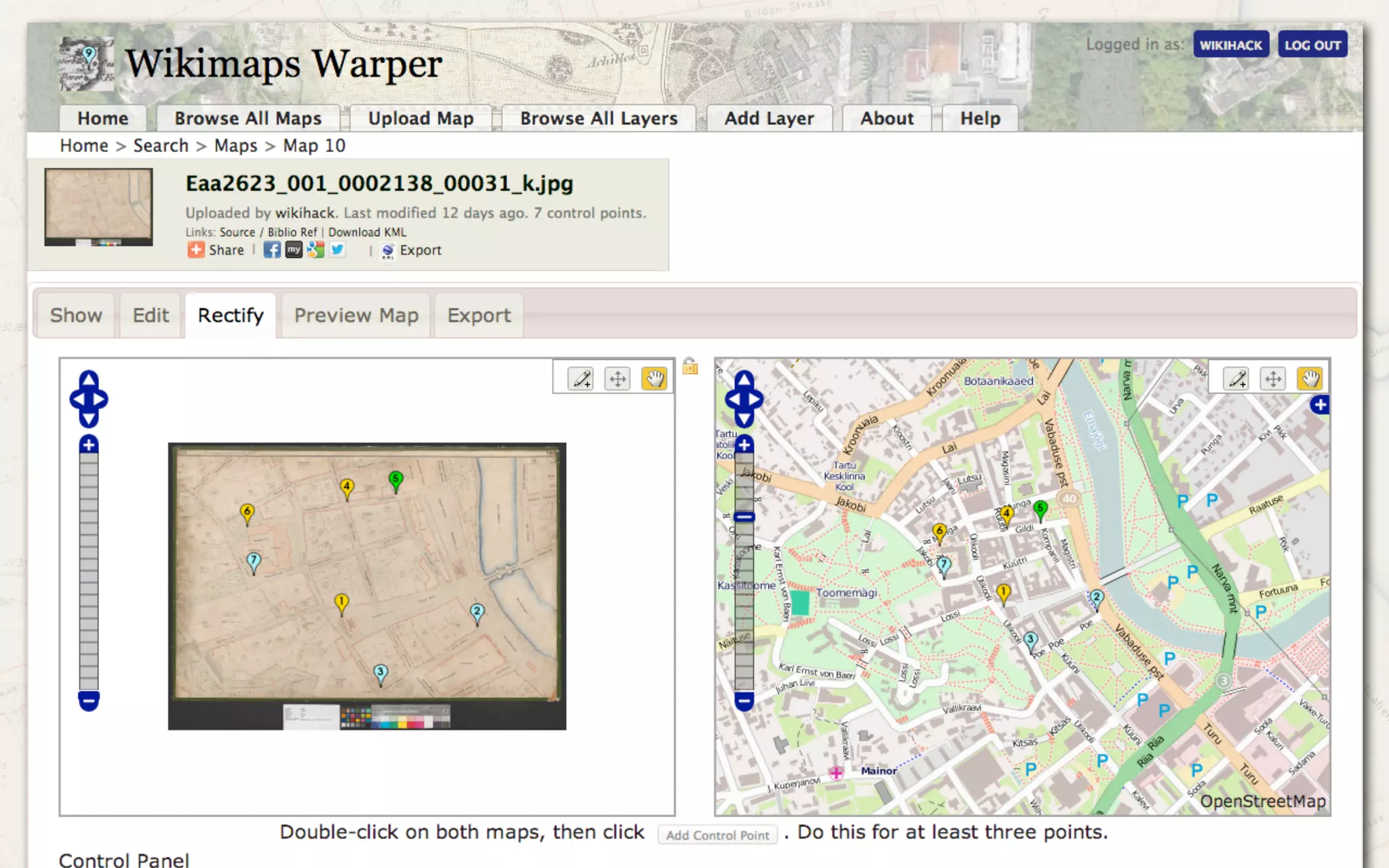
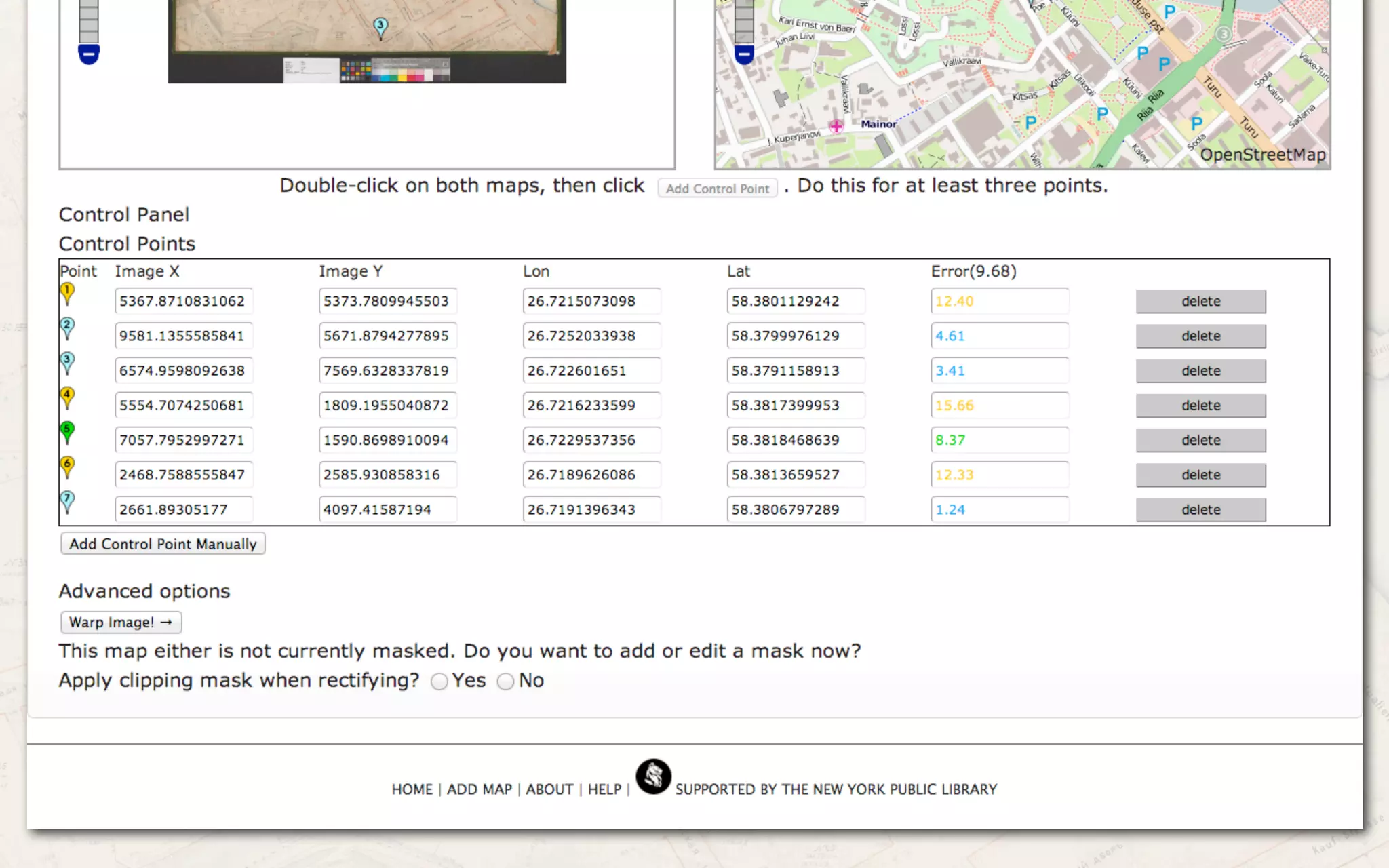
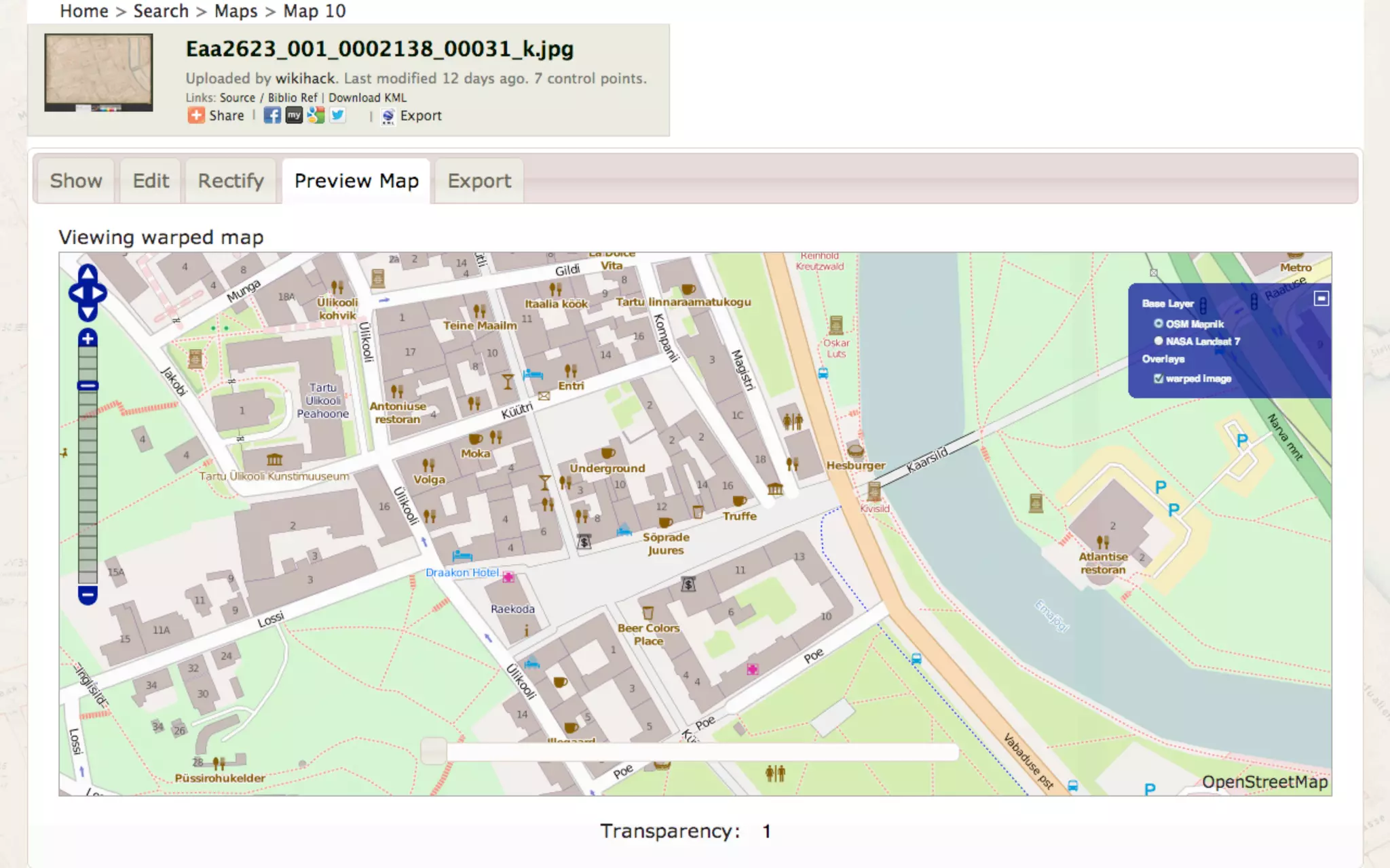
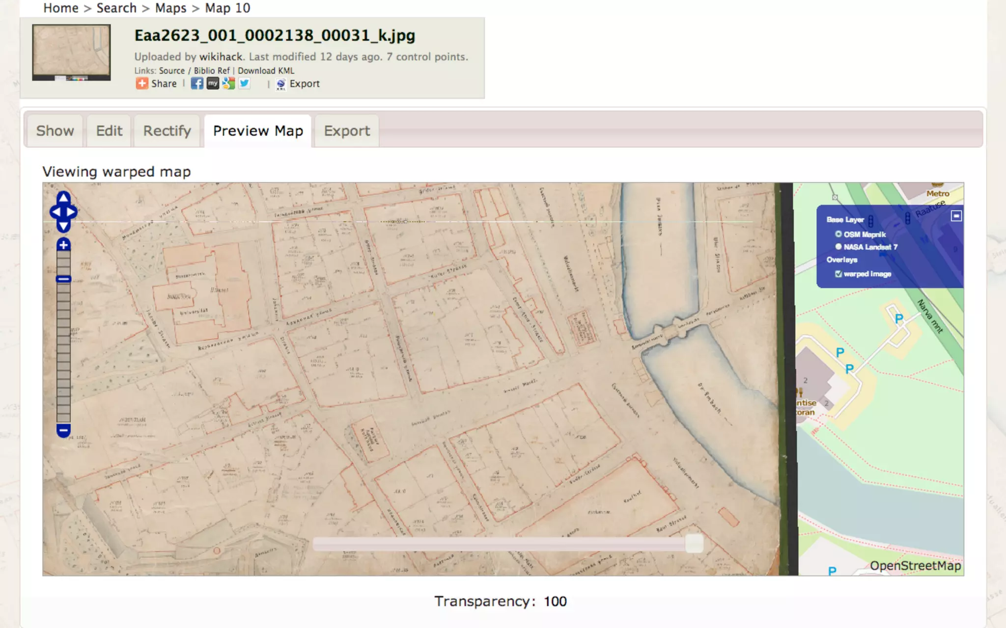
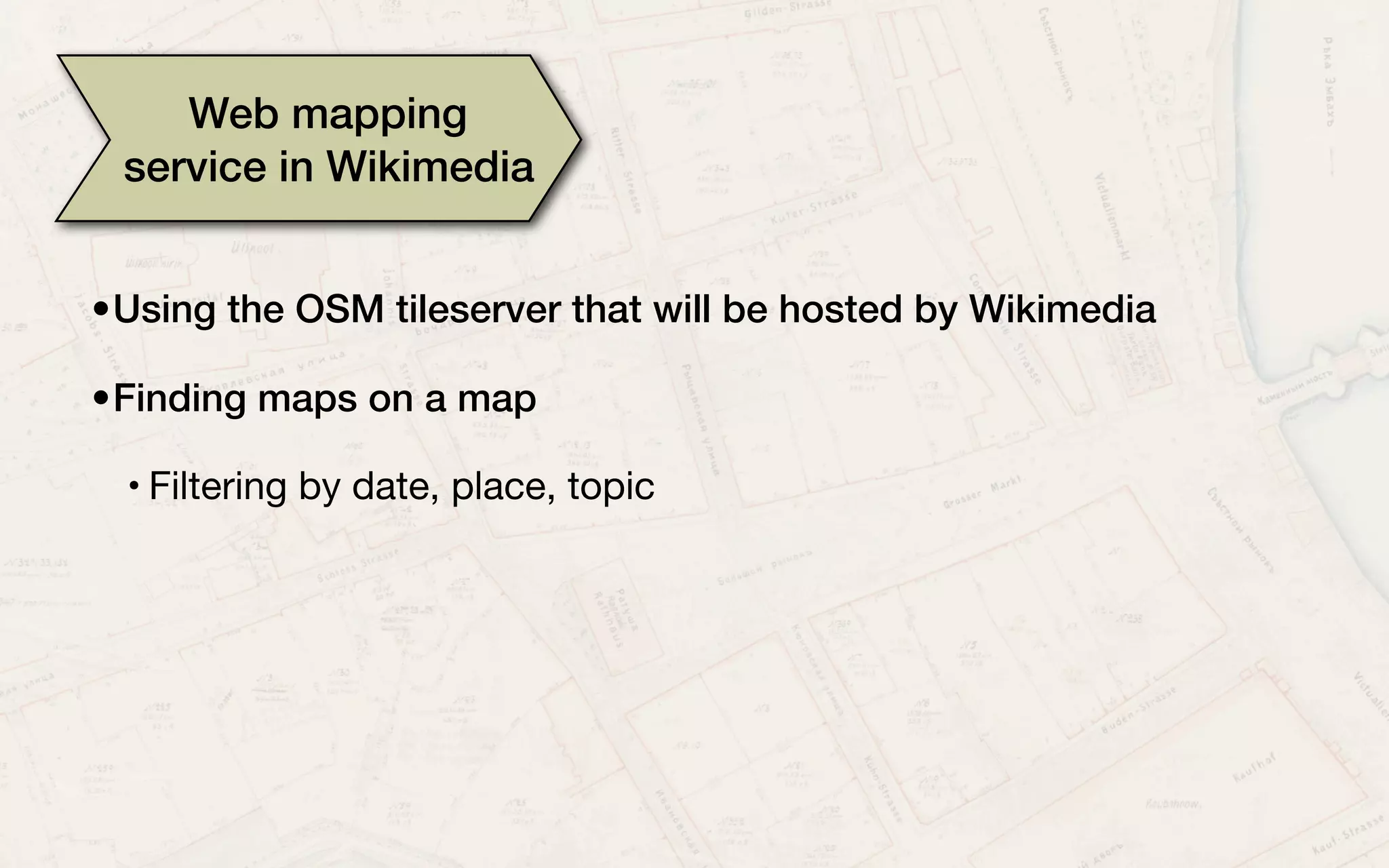

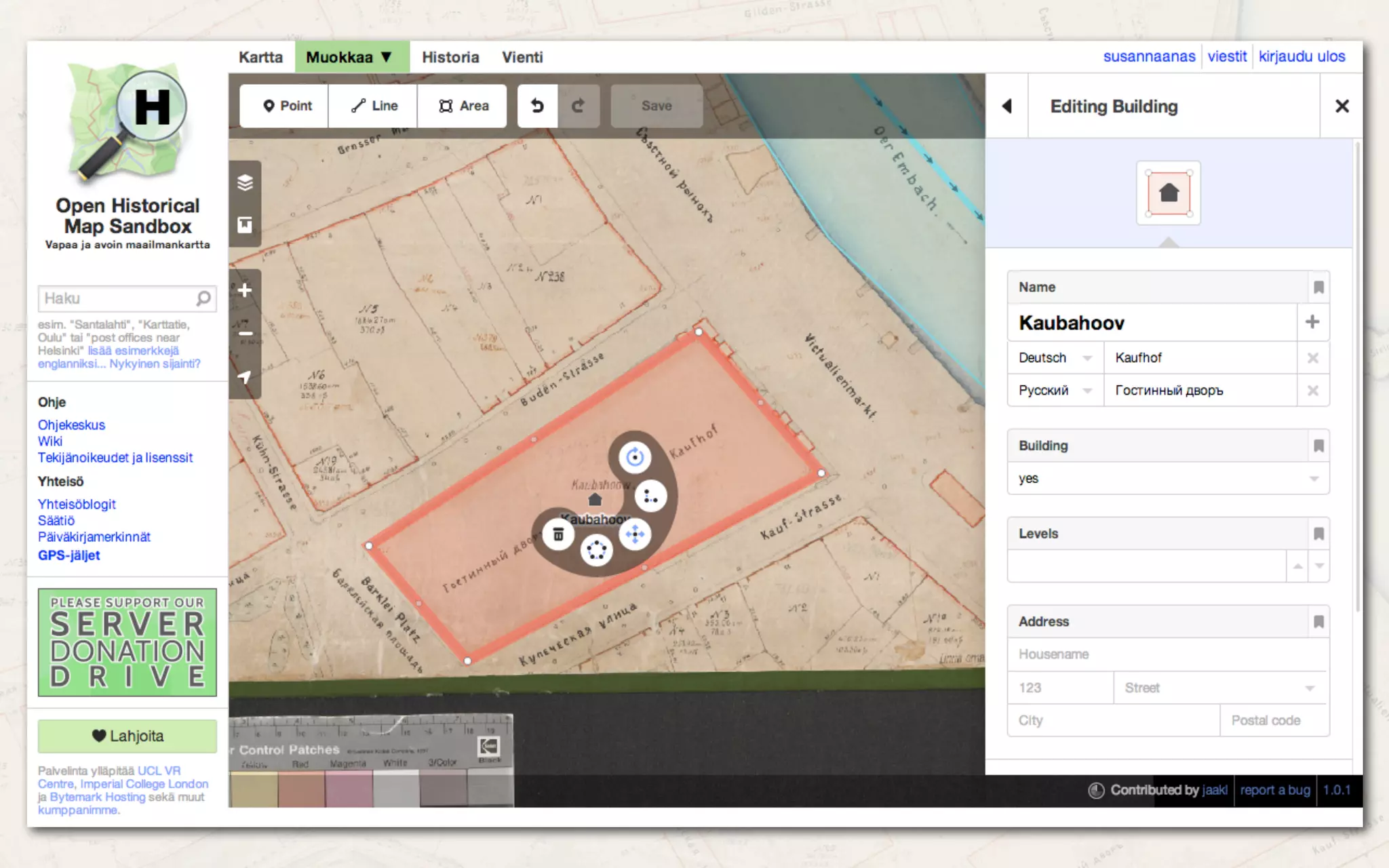
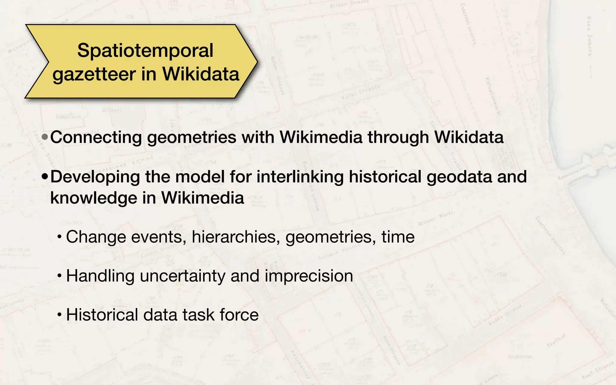
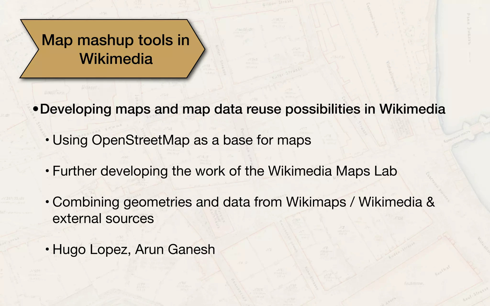


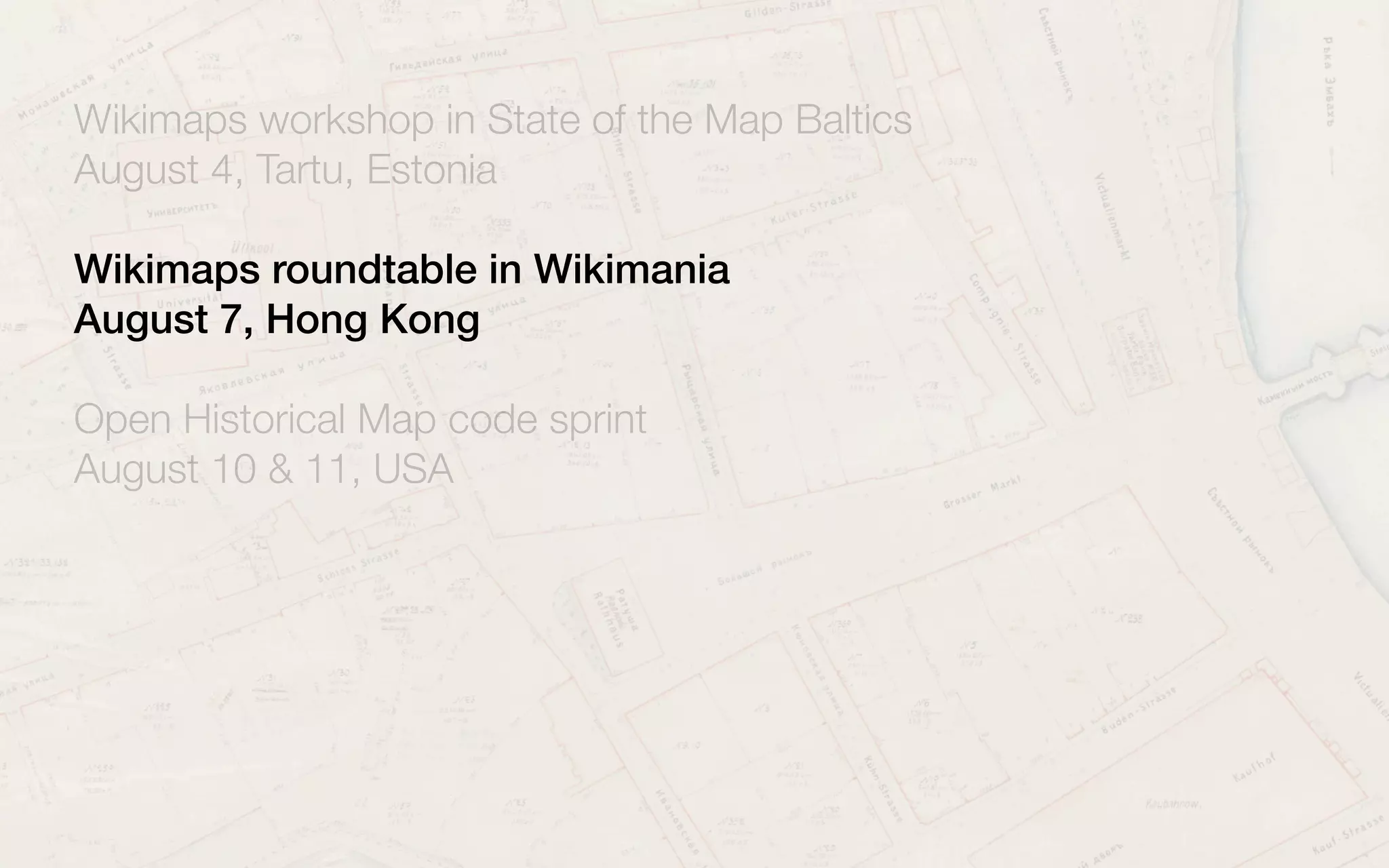
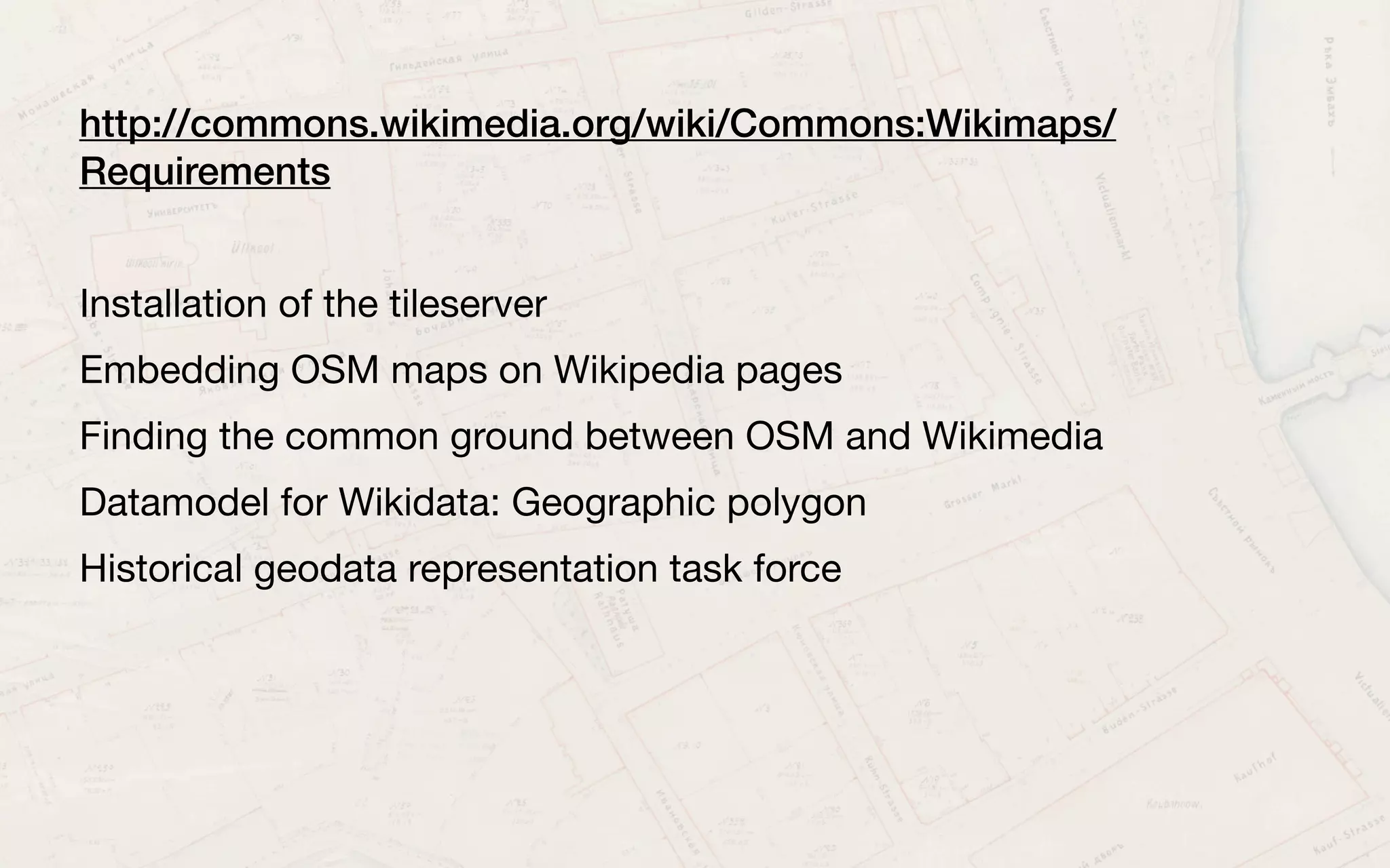
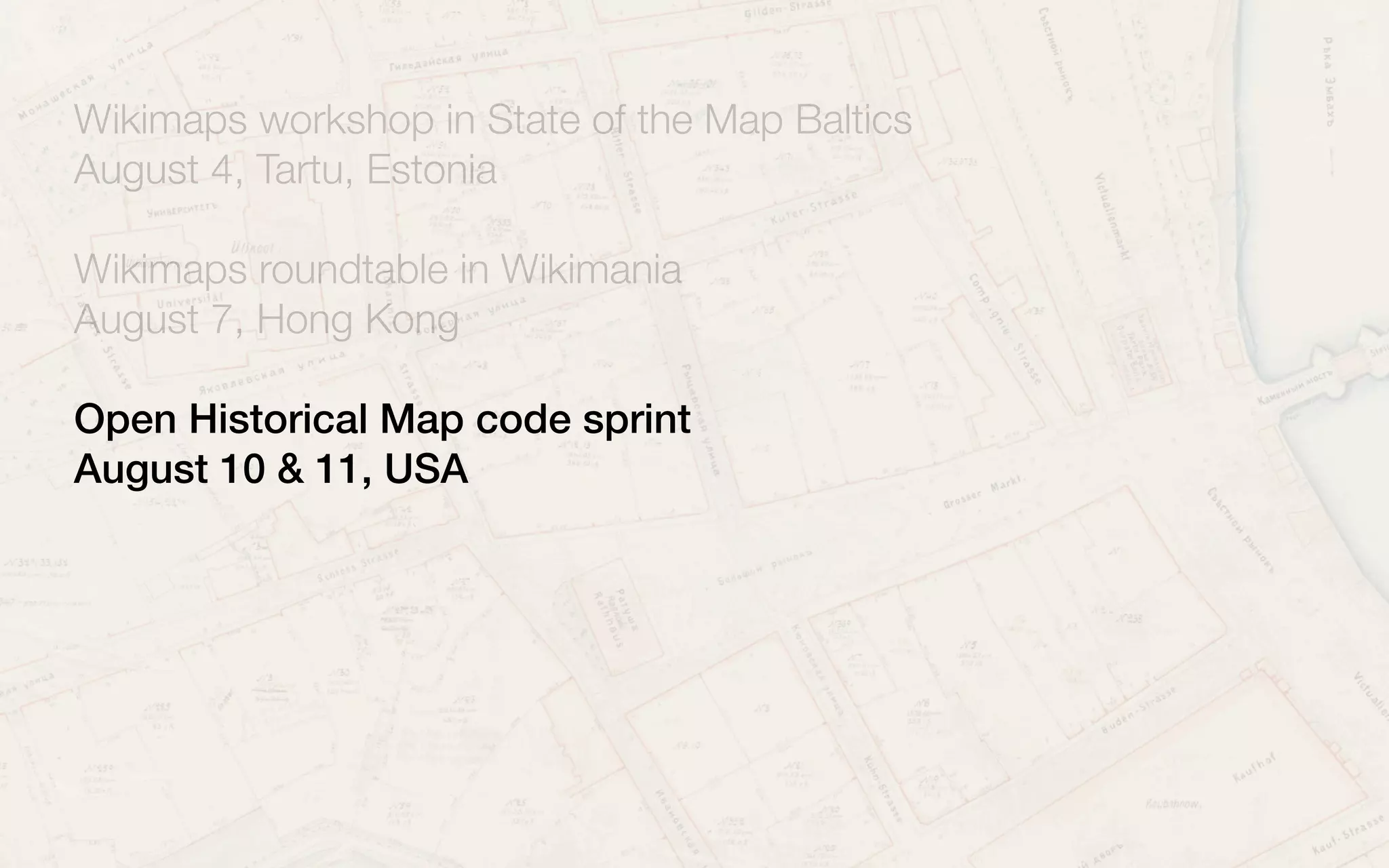
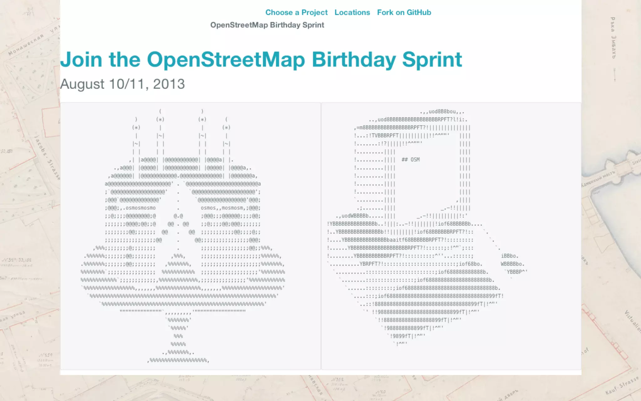
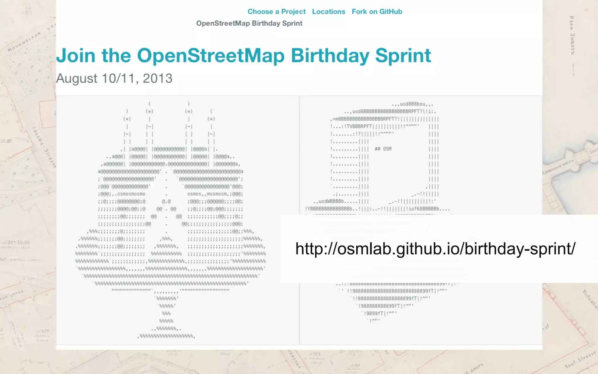


This document discusses plans for developing the Wikimaps project, which aims to make historical maps available on Wikimedia platforms. It describes efforts to digitize and georeference maps from archives, add location data to maps on Wikimedia Commons, extract features from old maps to add to Wikidata and OpenStreetMap, and develop tools to find maps and visualize historical data. The document also outlines upcoming workshops and sprints in Estonia, Hong Kong, and the US to advance this technical and collaboration work around historical maps between Wikimedia and cultural heritage organizations.


