This document provides information about the geography of Europe. It discusses the following key points:
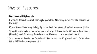
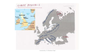
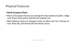
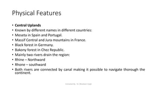
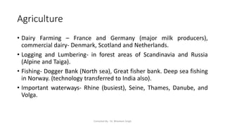
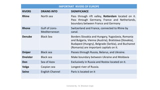
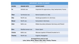
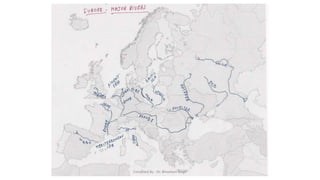
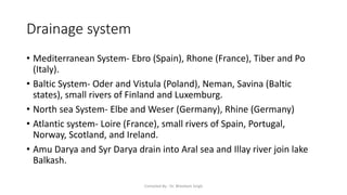
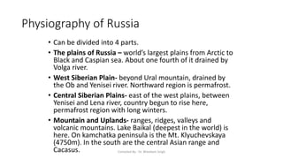
- The physical features of Europe including mountain ranges, plains, rivers, and drainage systems. Major rivers discussed include Rhine, Rhone, Danube, Dnieper, and Volga.
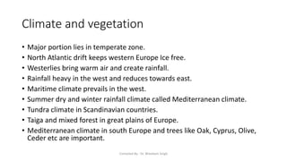
- The climate and vegetation zones of Europe ranging from tundra in the north to Mediterranean climates in the south.
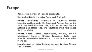
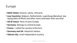
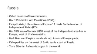
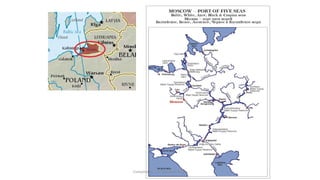
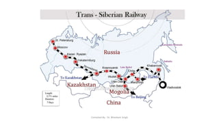
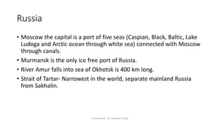
- Details on individual European countries including their capitals, locations, and physical or economic features. Countries discussed are UK, France, Germany, Finland, Iceland, Denmark, and Russia.
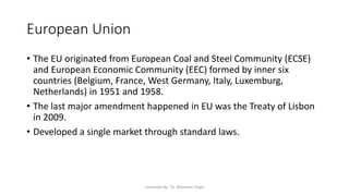
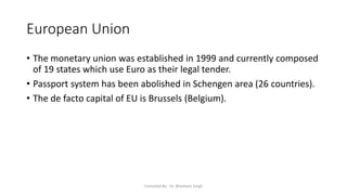
- Information on the European Union including its origins and main institutions located across Belgium and Luxembourg.