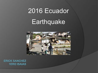
![2016 Ecuador earthquake occurred on April 16 at 18:58:37 ECT with
a moment magnitude of 7.8 and a maximum Mercalli intensity of
VIII (Severe). The very large thrust earthquake was centered
approximately 27 km (17 mi) from the towns
of Muisne andPedernales in a sparsely populated part of the
country, and 170 km (110 mi) from the capital Quito,[1] where it was
felt strongly.](data:image/gif;base64,R0lGODlhAQABAIAAAAAAAP///yH5BAEAAAAALAAAAAABAAEAAAIBRAA7)
Recommended
More Related Content
Similar to Terremoto
Similar to Terremoto (20)
Recently uploaded
Recently uploaded (20)
Terremoto
- 2. 2016 Ecuador earthquake occurred on April 16 at 18:58:37 ECT with a moment magnitude of 7.8 and a maximum Mercalli intensity of VIII (Severe). The very large thrust earthquake was centered approximately 27 km (17 mi) from the towns of Muisne andPedernales in a sparsely populated part of the country, and 170 km (110 mi) from the capital Quito,[1] where it was felt strongly.
- 3. Ecuador lies above the destructive plate boundary where the Nazca Plate is subducting beneath the South American Plate. The convergence rate between the plates in Ecuador is 61 millimetres (2.4 in) per year. The depth, location and focal mechanism of the earthquake are all consistent with rupture along the plate interface in the form of a megathrust earthquake. A major earthquake in 1906 ruptured the plate interface for at least 400 km immediately northeast of the 2016 event.[1]
- 4. At 18:58 ECT on April 16, a 7.8 Mw earthquake struck the coast of Ecuador approximately 27 km (17 mi) south-southeast of Muisne, in the province of Esmeraldas, at a depth of 19.2 km (11.9 mi).[1] Tremors were felt in neighboring Colombia and Peru;[10] a clinic in Cali, Colombia, was evacuated as a precautionary measure.[11] A tsunami alert was issued by the Pacific Tsunami Warning Center for Colombia, Costa Rica, Ecuador, Fiji, Panama, and Peru.[10][12][13] This is the largest earthquake to strike Ecuador since the 1979 Tumaco earthquake.[14] According to Mayor Gabriel Alcivar, much of the town of Pedernales, about 35 km to the south-southwest of the earthquake's epicenter, was leveled. In Guayaquil—approximately 300 km (190 mi) from the epicenter—an overpass collapsed on a car, killing the driver.[11] In Manta the control tower of the airport was severely damaged;[15] an Air Force officer was injured and the airport closed.[16] Six homes collapsed and many others lost power in the nation's capital city of Quito.[17] The earthquake was presaged by a magnitude 4.8 foreshock eleven minutes before the main quake struck,[18] and followed by over fifty- five aftershocks in the first twenty-four hours.[19]