Downloaded 52 times


![Thank You! Don’t hesitate to drop us suggestions, comments, ideas, opportunities, etc: Email: [email_address] @DonAtSafe http://fmepedia.com http://www.safe.com http://blog.safe.com](https://image.slidesharecdn.com/tastetestfme2011beyond-101021134420-phpapp01/85/Taste-Test-FME-2011-Beyond-57-320.jpg)

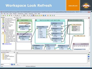
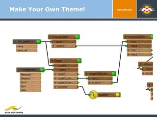
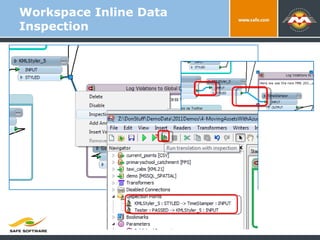
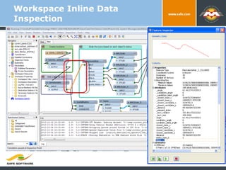
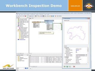
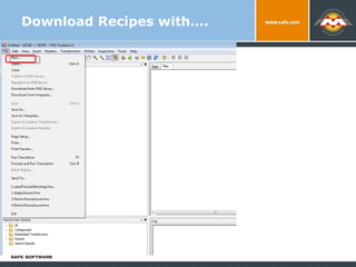
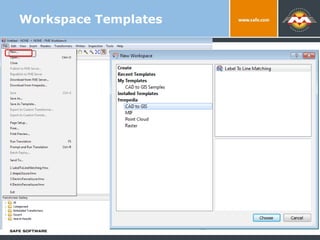
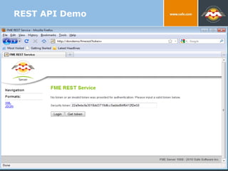
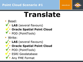
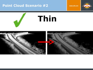
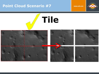
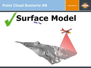
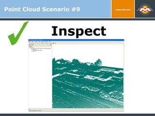
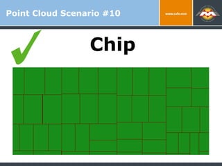
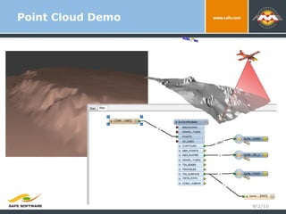
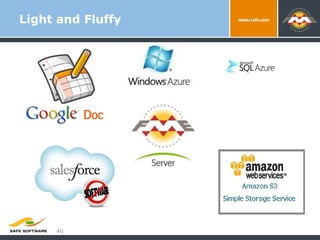
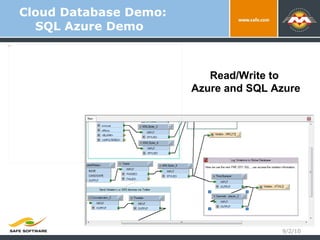
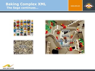
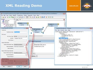
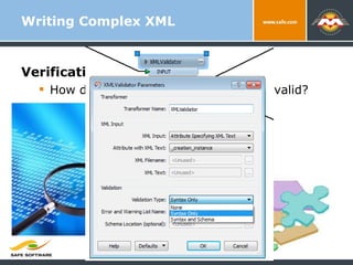
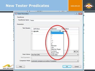
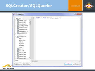
The document summarizes new features and enhancements in FME 2011 and beyond, including improved branding, workspace look and feel, data inspection capabilities, support for new formats like point clouds and SQL Azure, and future plans like more 3D transformations and large scale point cloud handling. REST APIs and server security improvements are also mentioned.