Download as PDF, PPTX


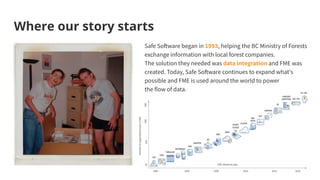
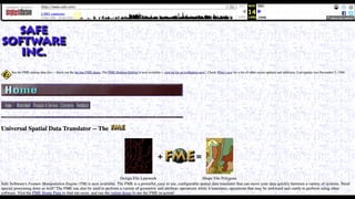
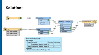
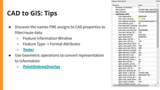

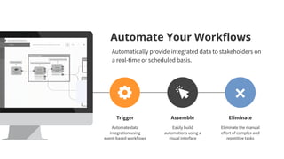

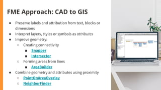

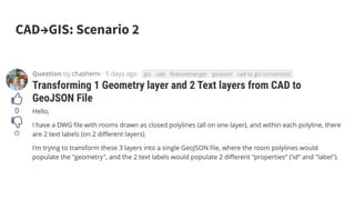
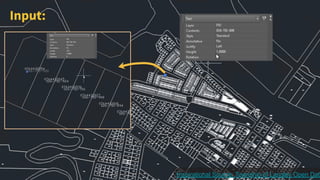

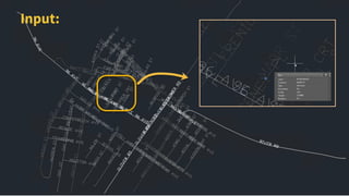
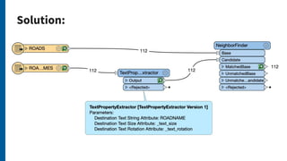
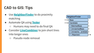

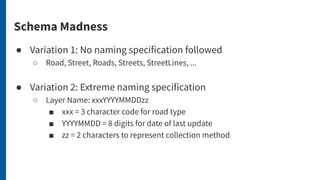


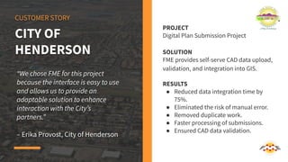
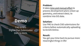
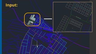
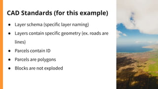
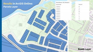
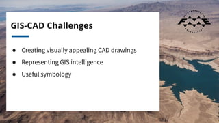

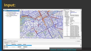


The document discusses CAD and GIS integration, highlighting challenges and practical applications through various scenarios and demonstrations. It emphasizes the role of FME software in automating workflows to enhance data exchange and reduce manual errors. Additionally, it shares customer success stories showcasing significant improvements in data processing times and collaboration efficiency.


![谷歌留痕技术教程[ 𝙩𝙤𝙥 𝟮𝟯𝟯. 𝙘 𝙤𝙢 ]](https://cdn.slidesharecdn.com/ss_thumbnails/top233-260130173900-2eb784f9-thumbnail.jpg?width=640&height=640&fit=bounds)
![20260201 [FOSDEM] gomodjail - library sandboxing for Go modules.pdf](https://cdn.slidesharecdn.com/ss_thumbnails/20260201fosdemgomodjail-librarysandboxingforgomodules-260201225659-76609ec4-thumbnail.jpg?width=640&height=640&fit=bounds)


