


![Thanks for your attending! For more info visit www.safe.com Or contact me Don Murray Email: [email_address] Twitter: donatsafe Blog: blog.safe.com](https://image.slidesharecdn.com/spatialetlforwebservices-090804161516-phpapp01/75/Spatial-ETL-For-Web-Services-Based-Data-Sharing-32-2048.jpg)

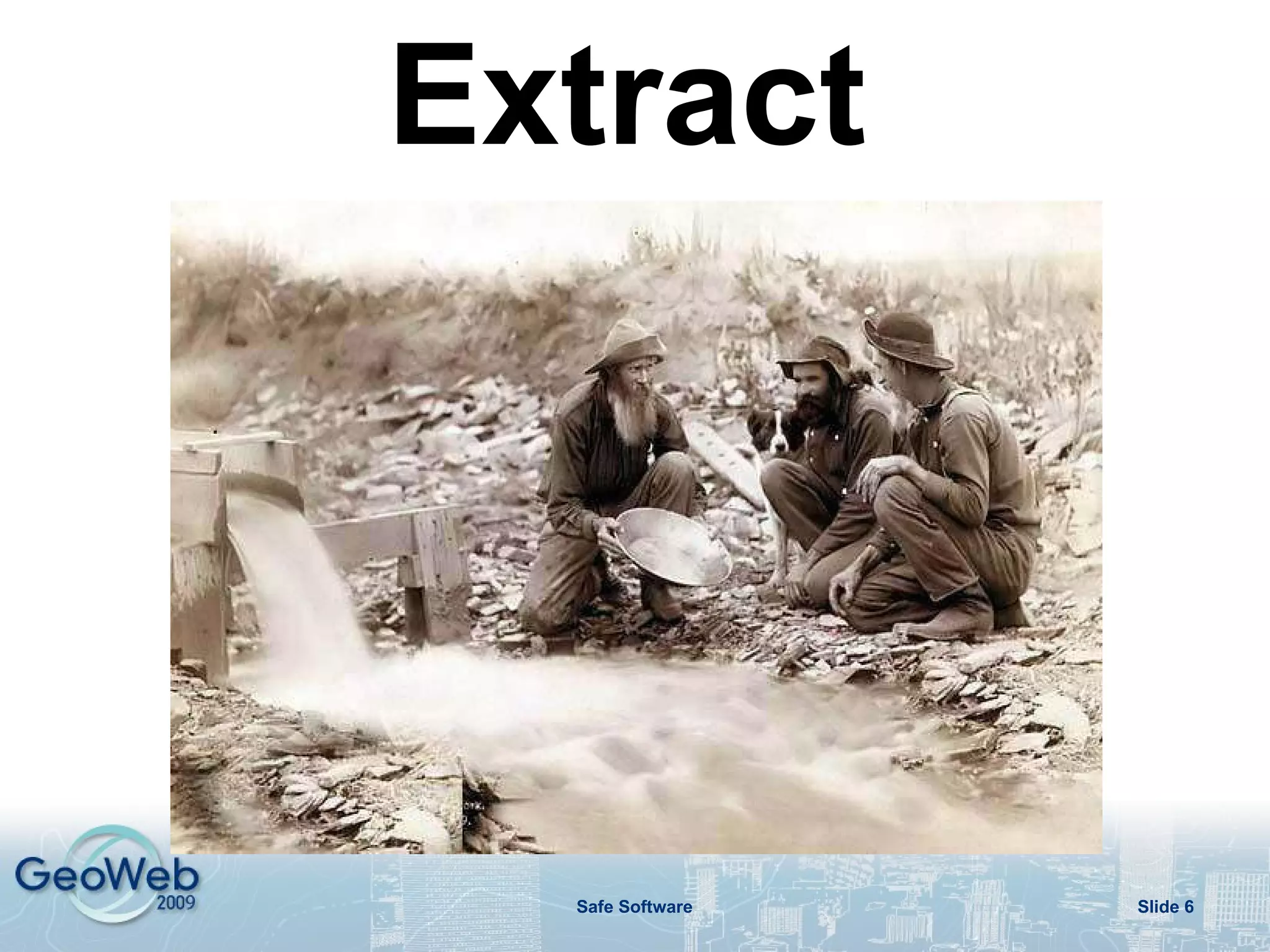
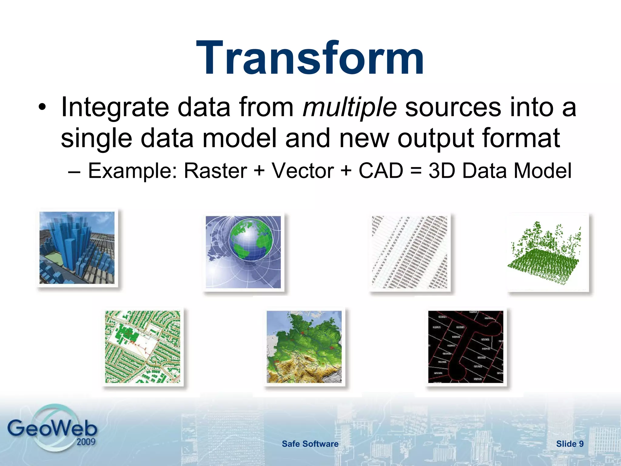
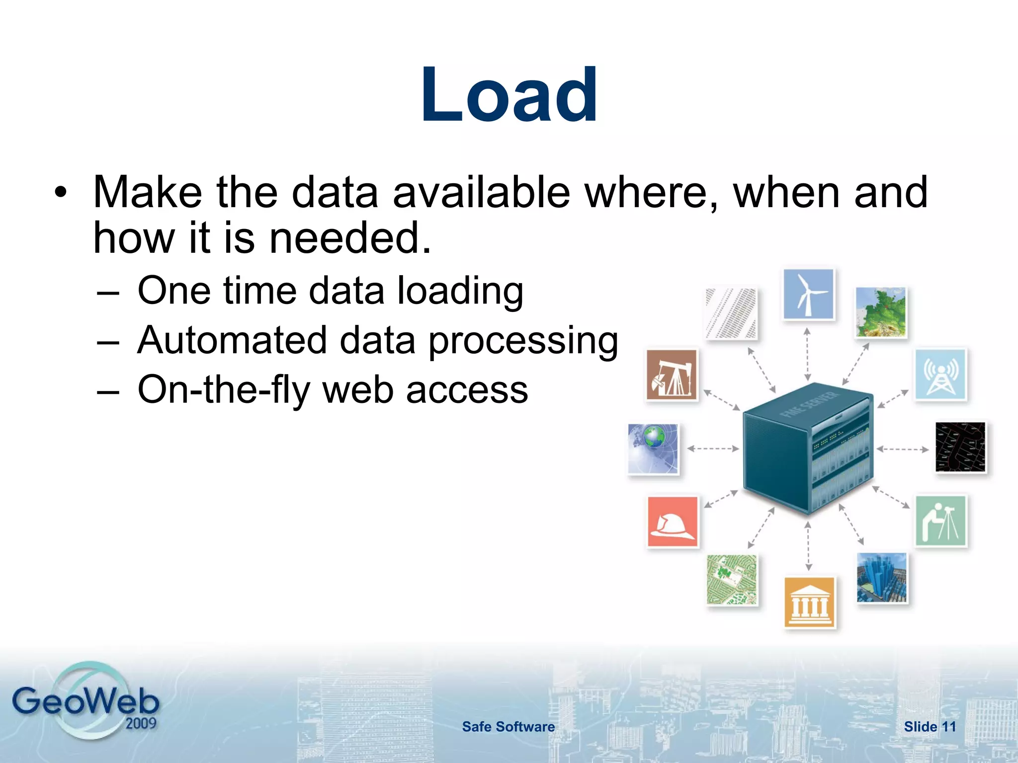
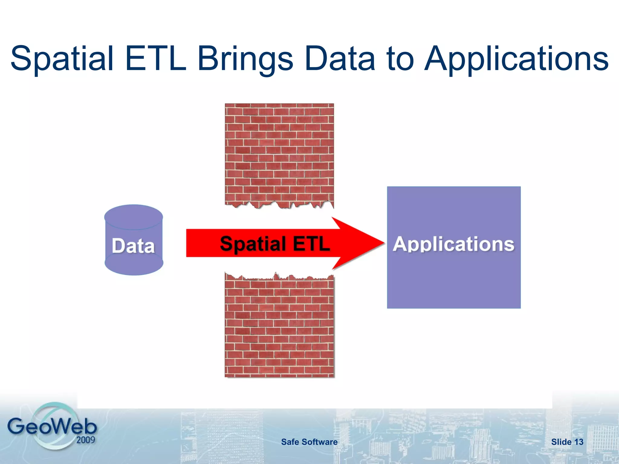
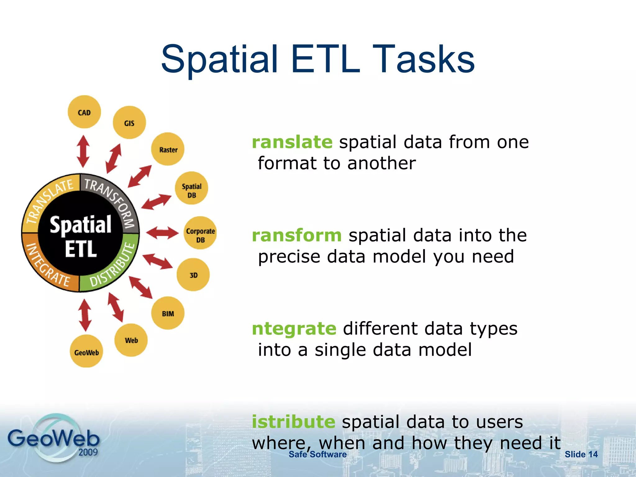
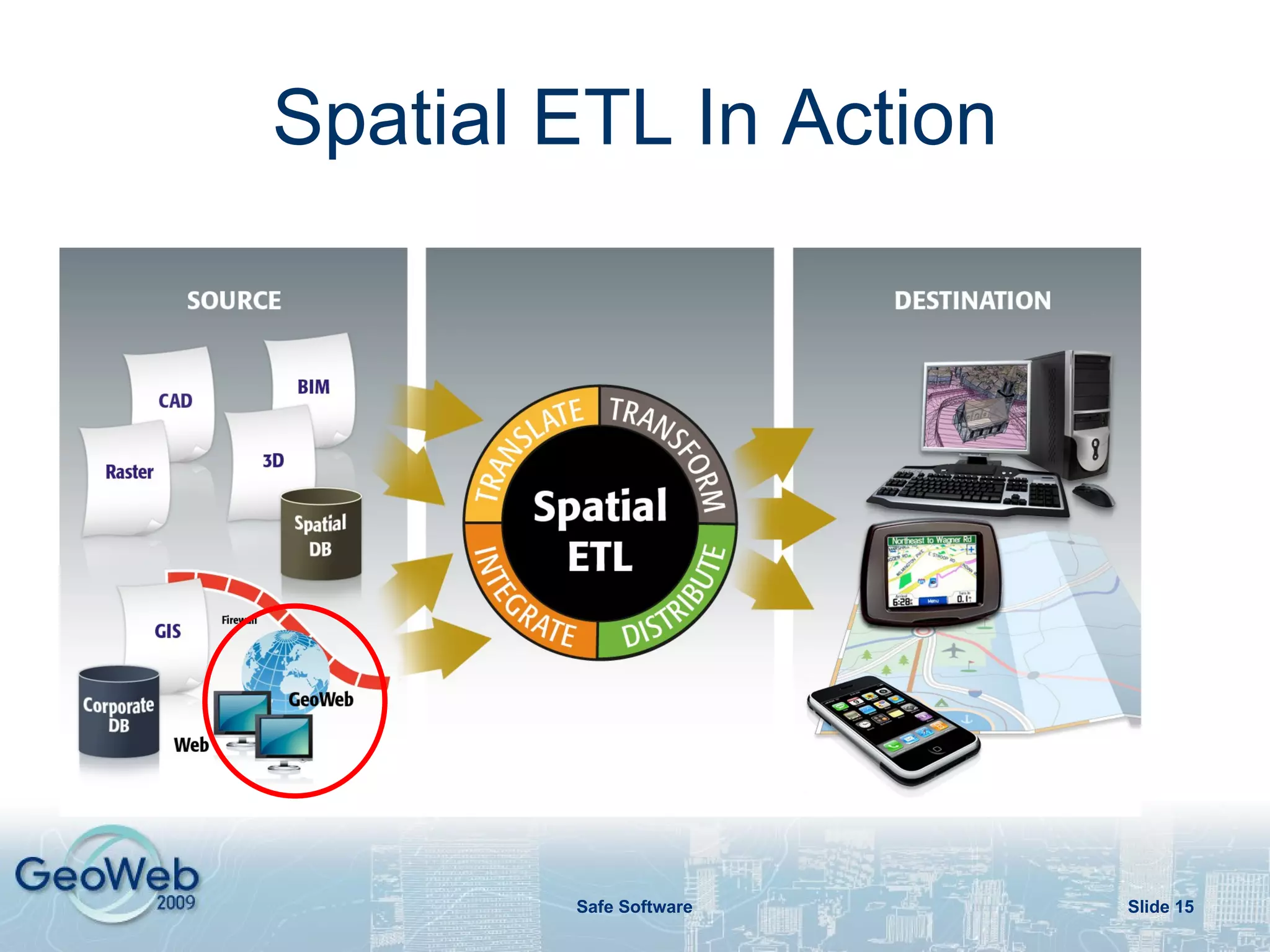
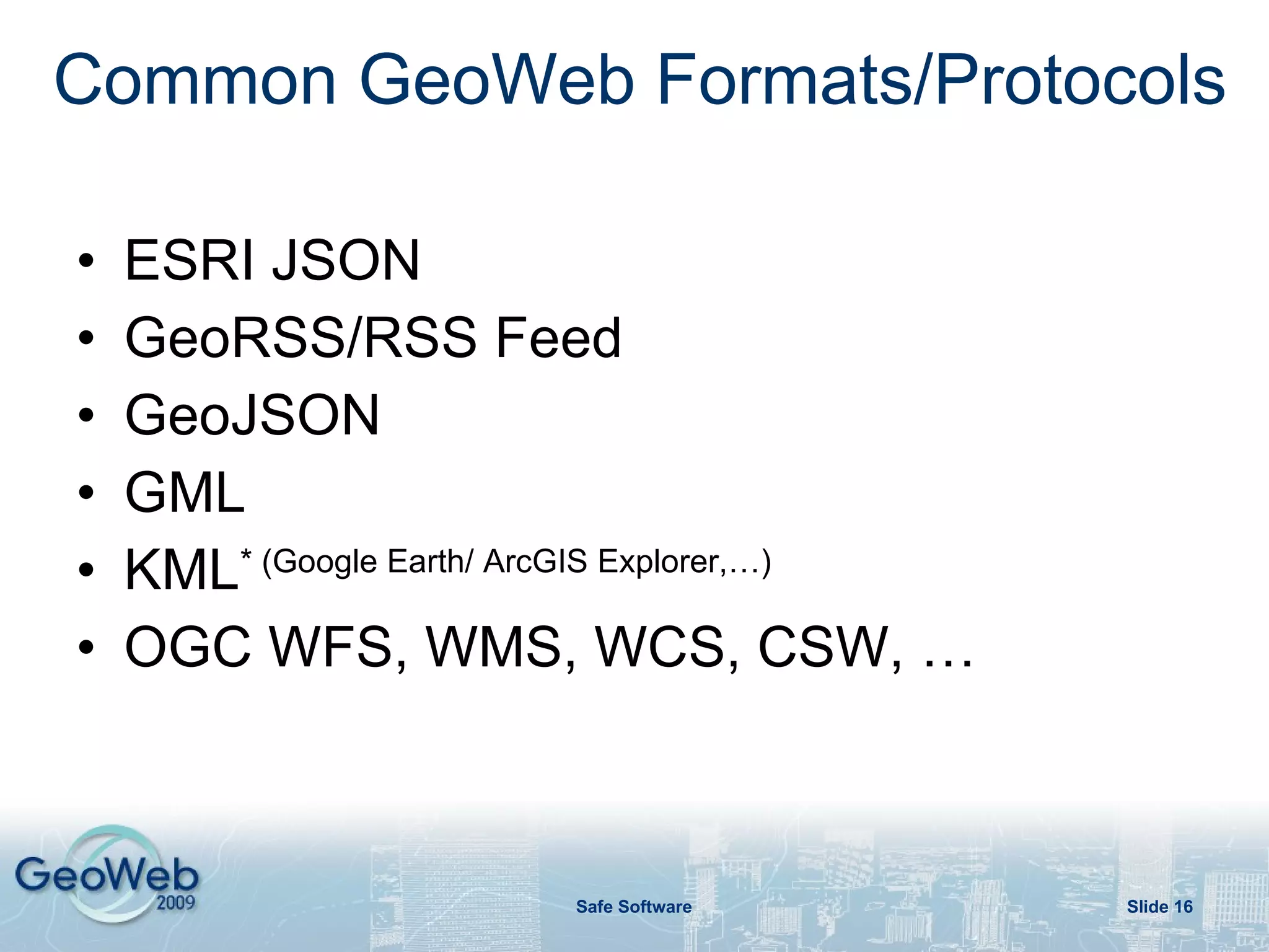
Spatial ETL is a process that extracts, transforms, and loads spatial data to enable data sharing through web services. It supports various spatial data formats and sources. Spatial ETL can transform and integrate data from multiple sources into a single data model and output format. It then loads and publishes the data to make it available through web services for use in applications and by consumers on demand. Spatial ETL plays a key role in enabling organizations to leverage web services and share their spatial data.