Download to read offline

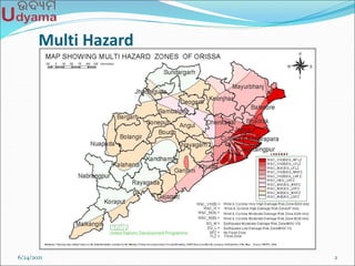
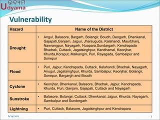
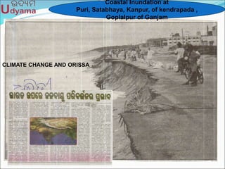
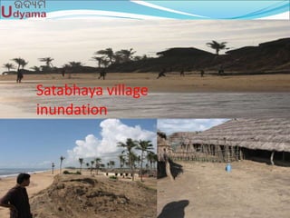
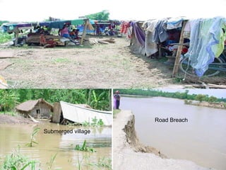
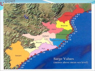
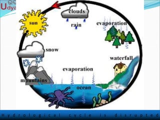
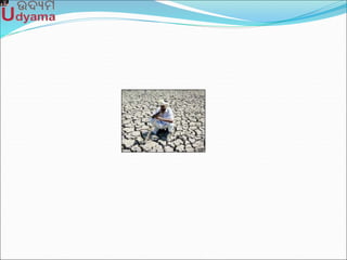
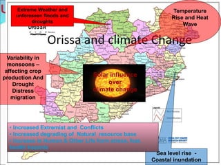

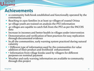


The document discusses various hazards faced by districts in Orissa, including droughts, floods, cyclones, and heat waves, exacerbated by climate change and resulting in significant human and economic losses. It outlines a project aimed at using information and communication technology (ICT) to build resilience in coastal communities by establishing kiosks that provide critical information on fishing zones and disaster warnings. Achievements of the project include the establishment of community hubs, increased fishing capabilities, and improved livelihoods, though challenges remain related to technology and community training.


![[Mohan Singh]shrsogiheriughsierughsiuerg.ppt](https://cdn.slidesharecdn.com/ss_thumbnails/session2-1-2mohansingh-250410112452-296bdb8a-thumbnail.jpg?width=640&height=640&fit=bounds)


