Download as PDF, PPTX


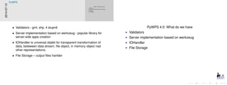


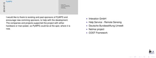


Jachym Cepicky gave a status report on PyWPS. PyWPS is an implementation of the OGC WPS standard written in Python. Version 4 is being rewritten to take advantage of improvements in Python and geospatial libraries since version 1 was created in 2006. Version 4.0 includes validators, a server based on Werkzeug, an IOHandler, and file storage. Version 4.1 is planned to include output via GeoServer, MapServer and QGIS, a REST API, and database/external storage. Progress has been limited by lack of resources for the open source project.