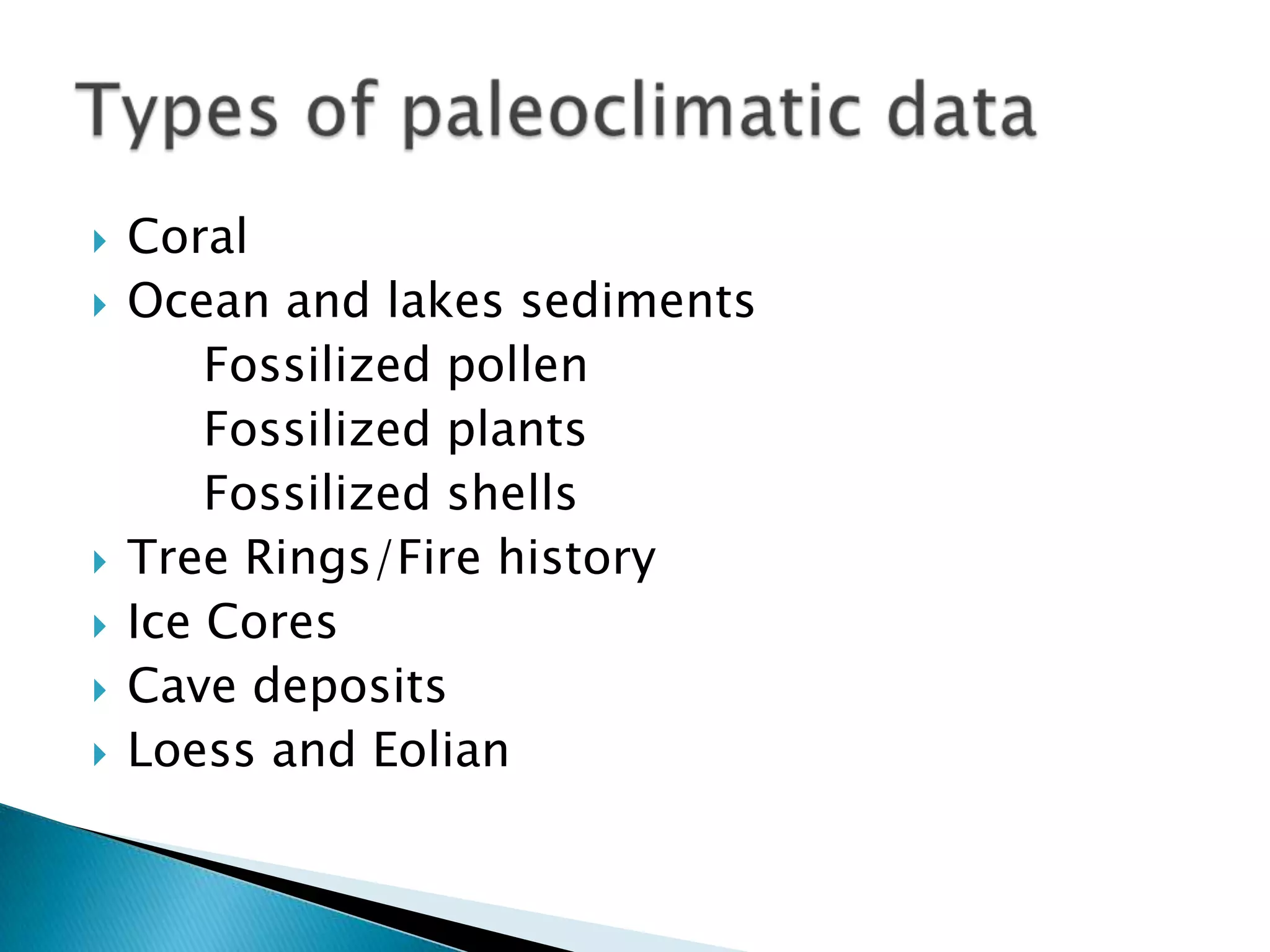
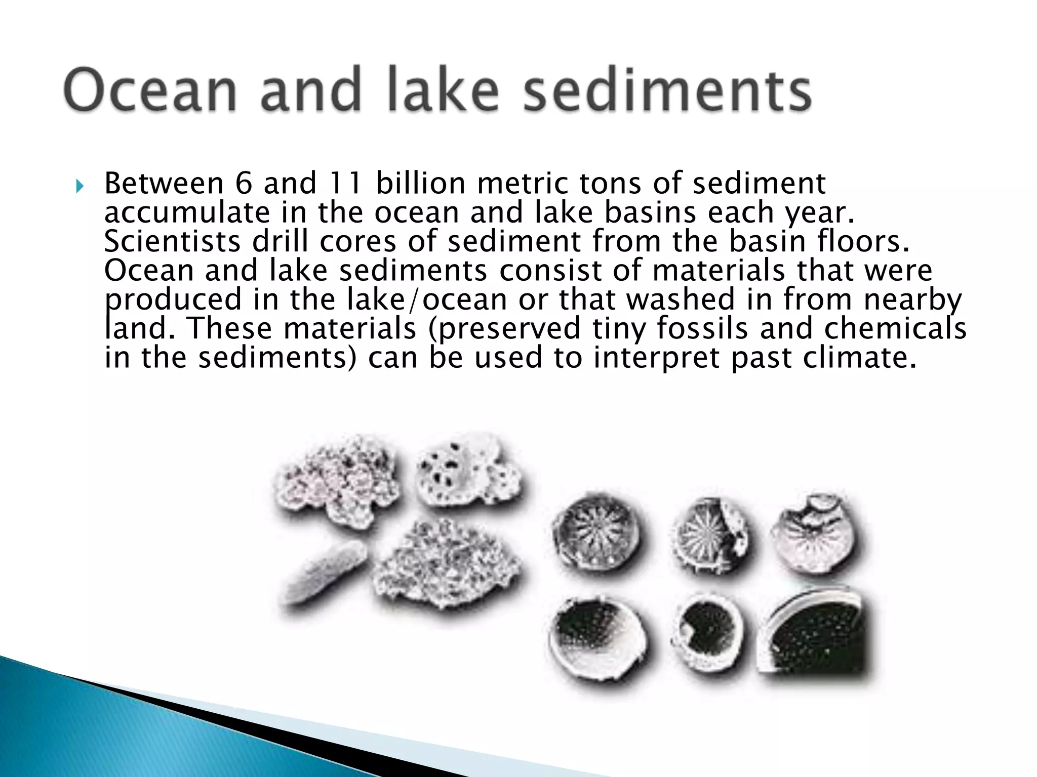
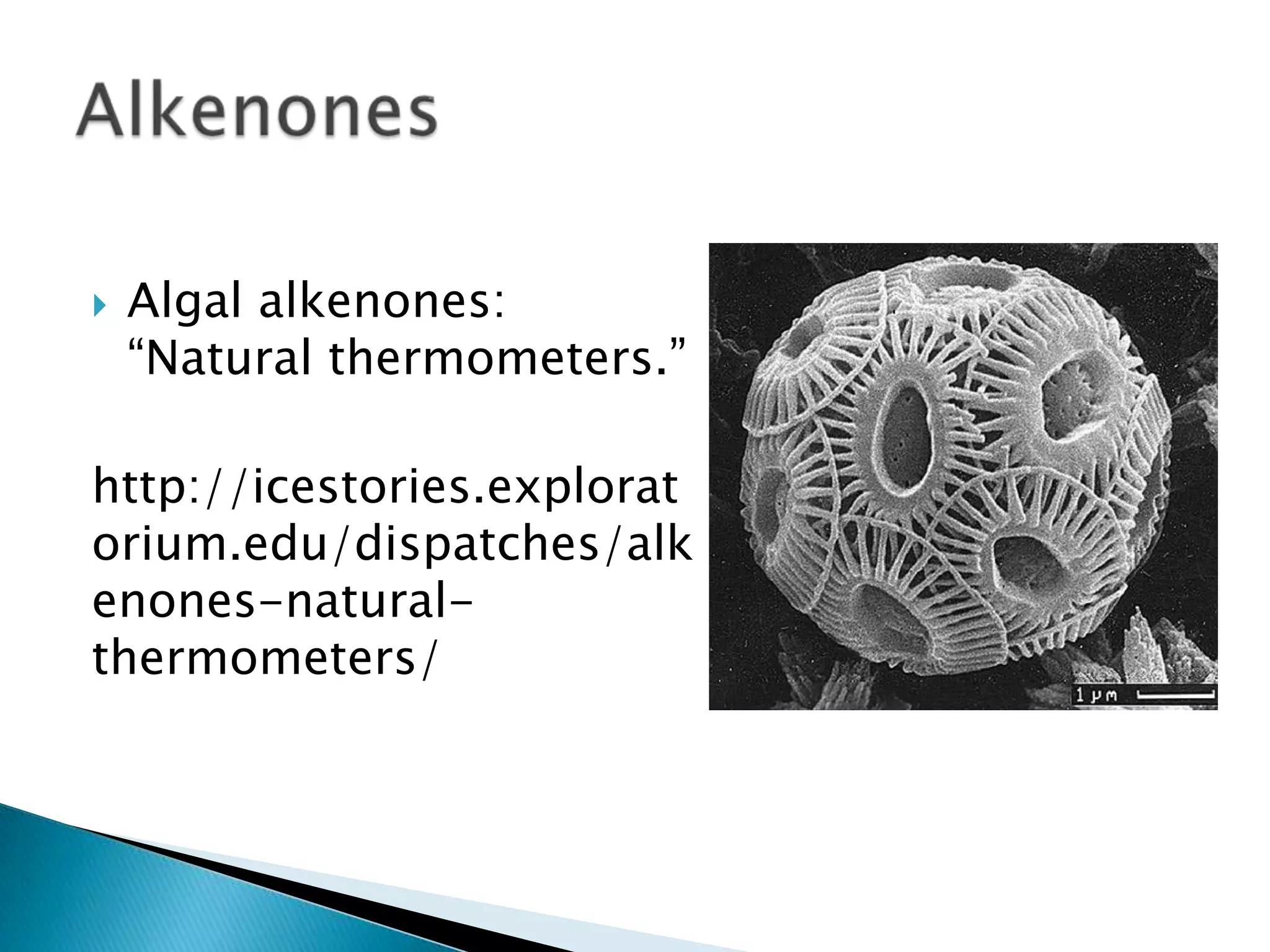
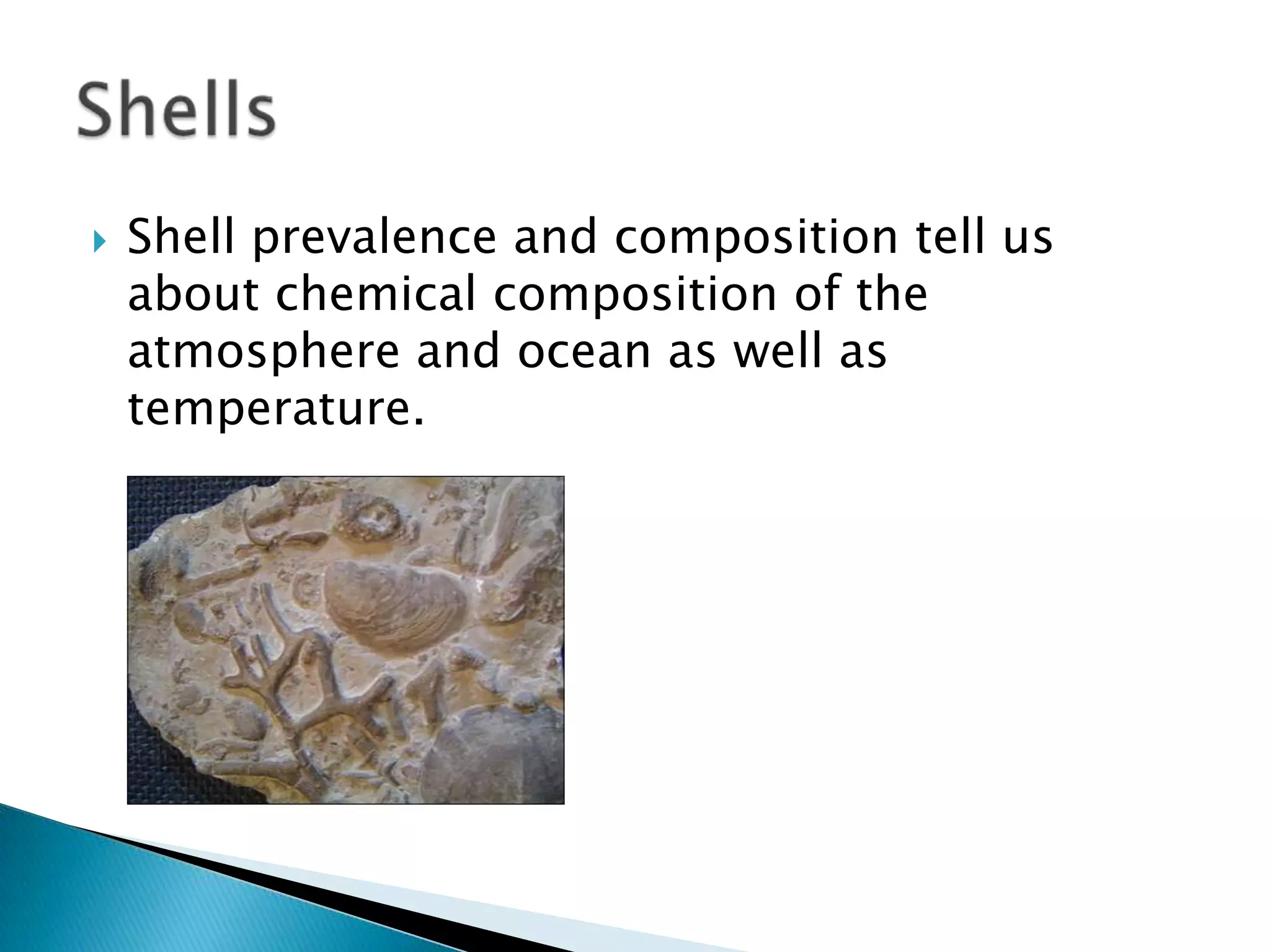
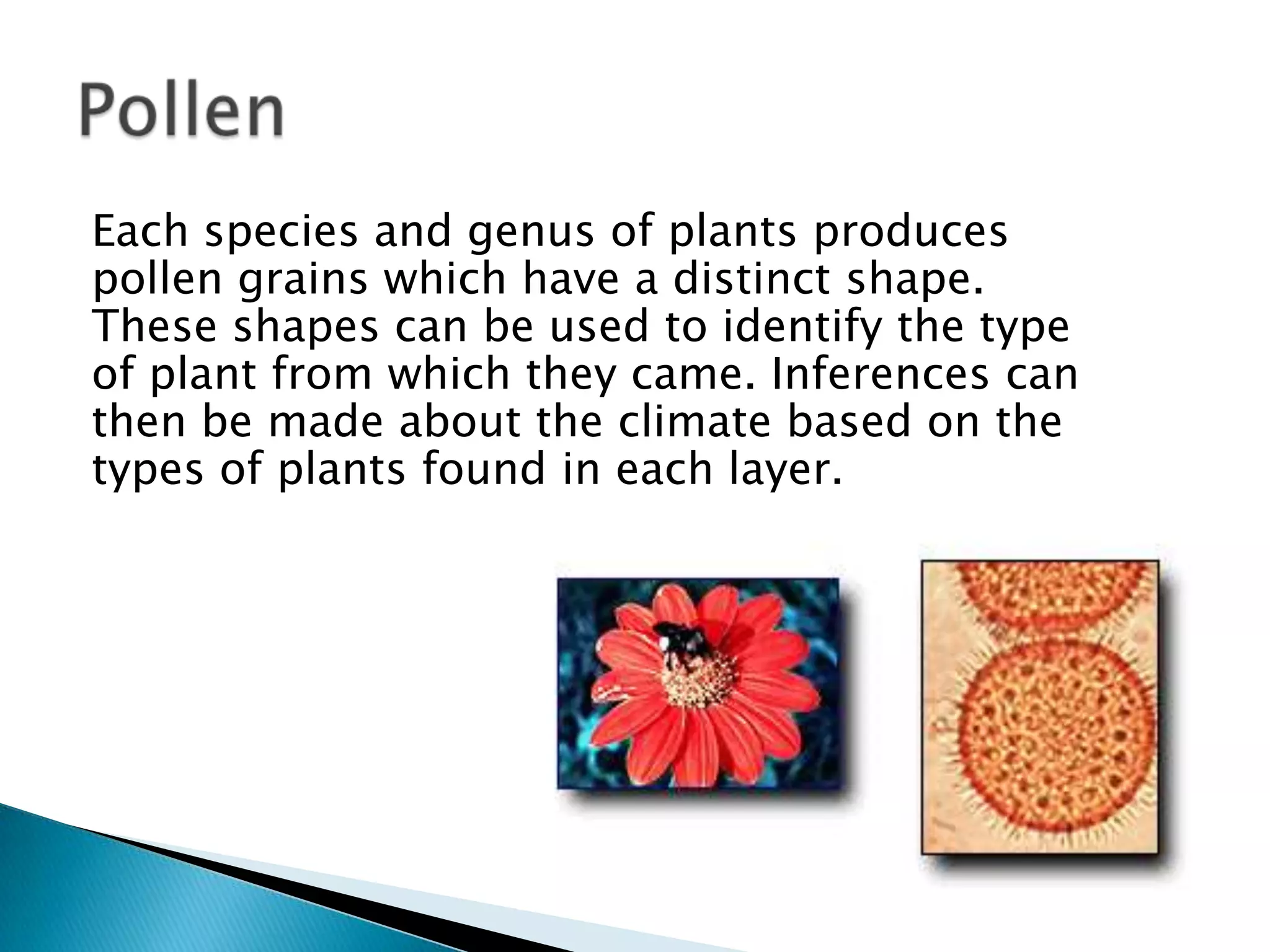
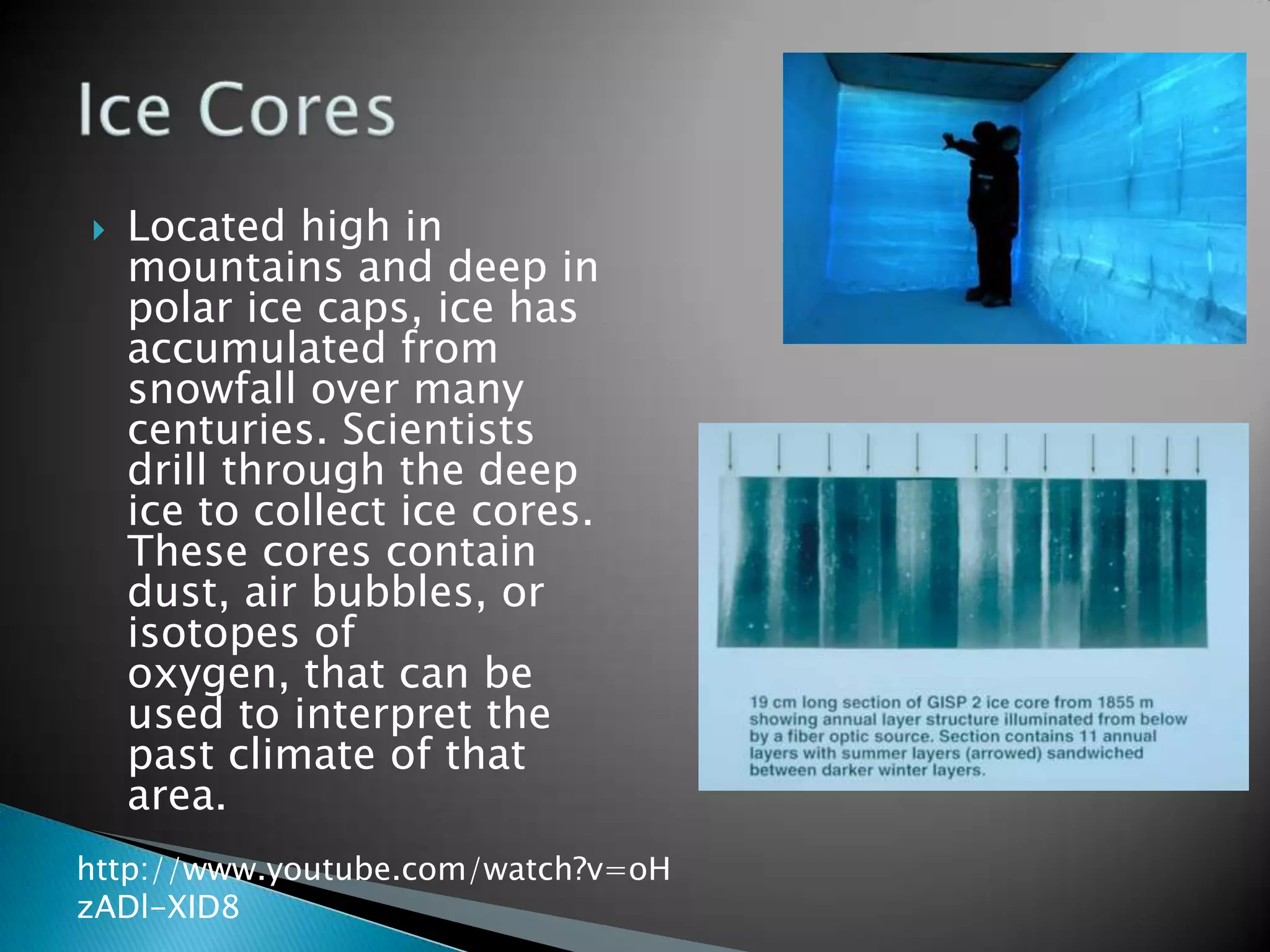
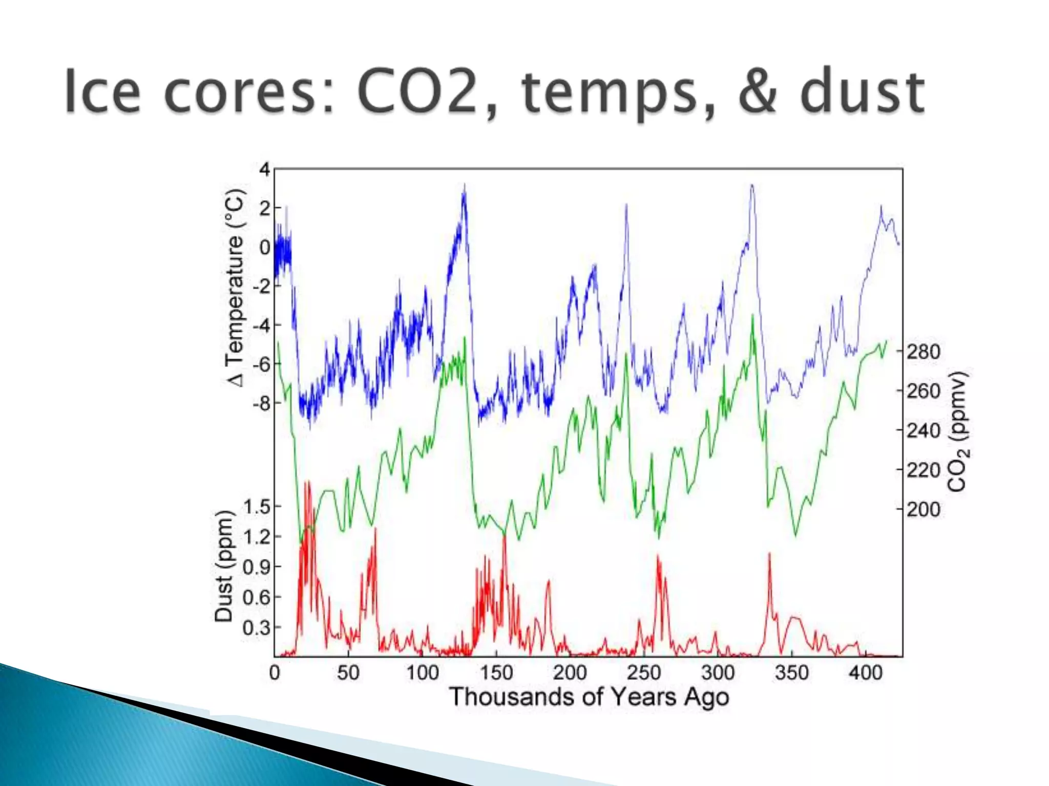
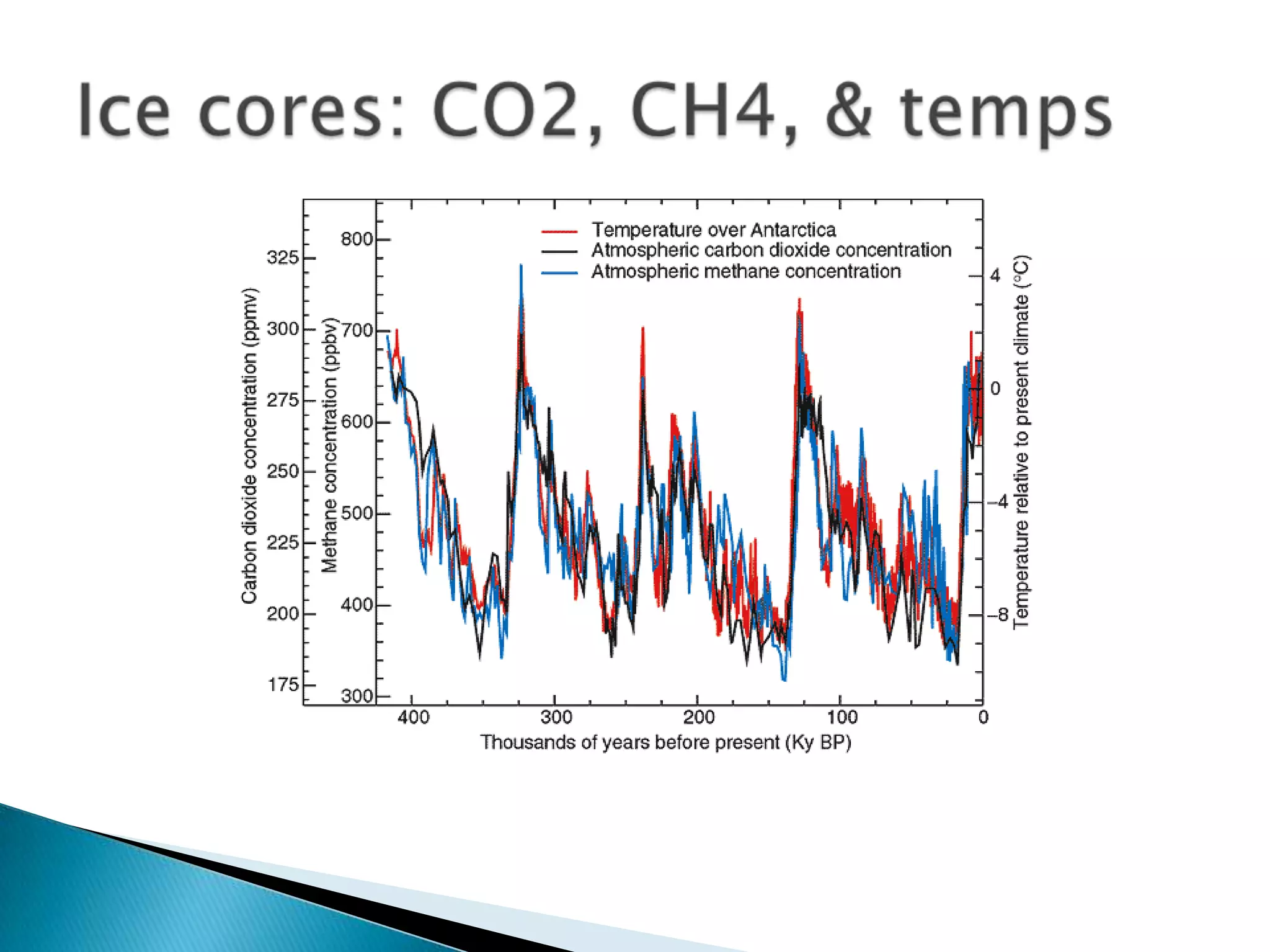
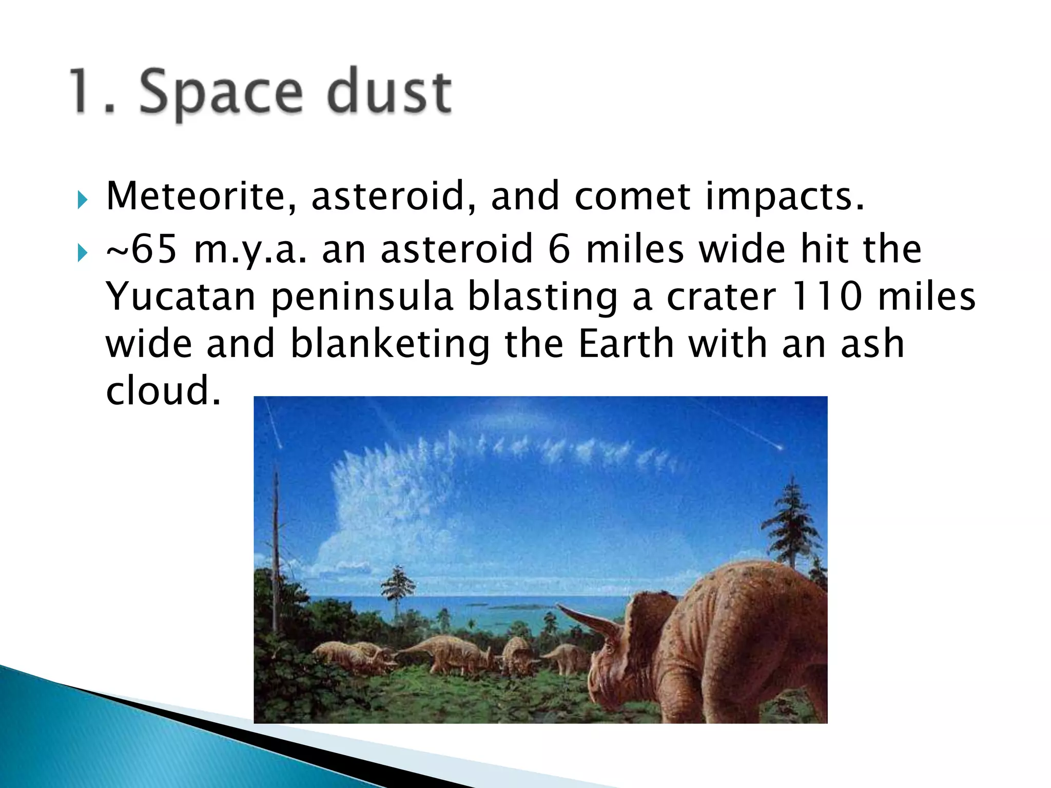
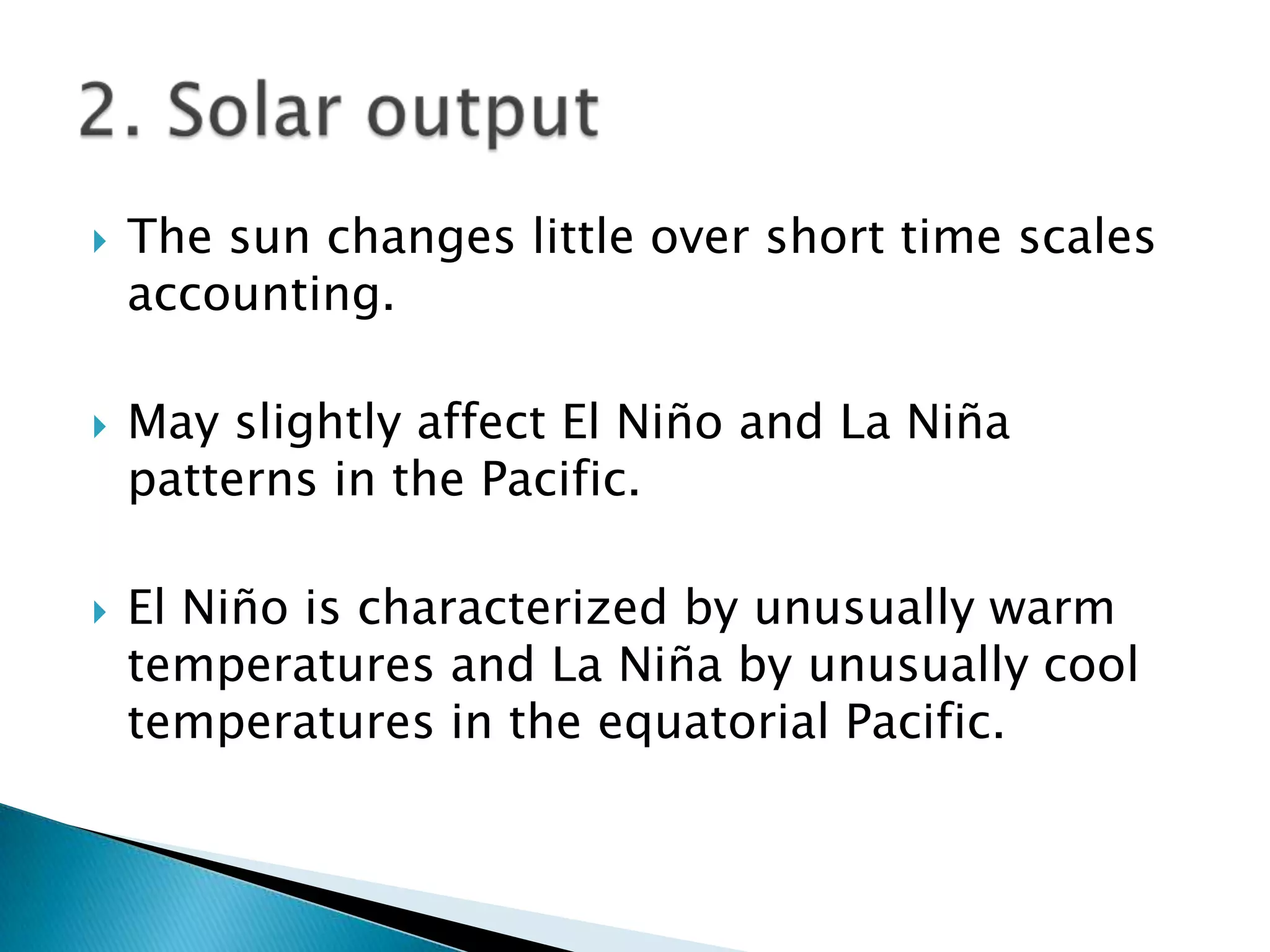
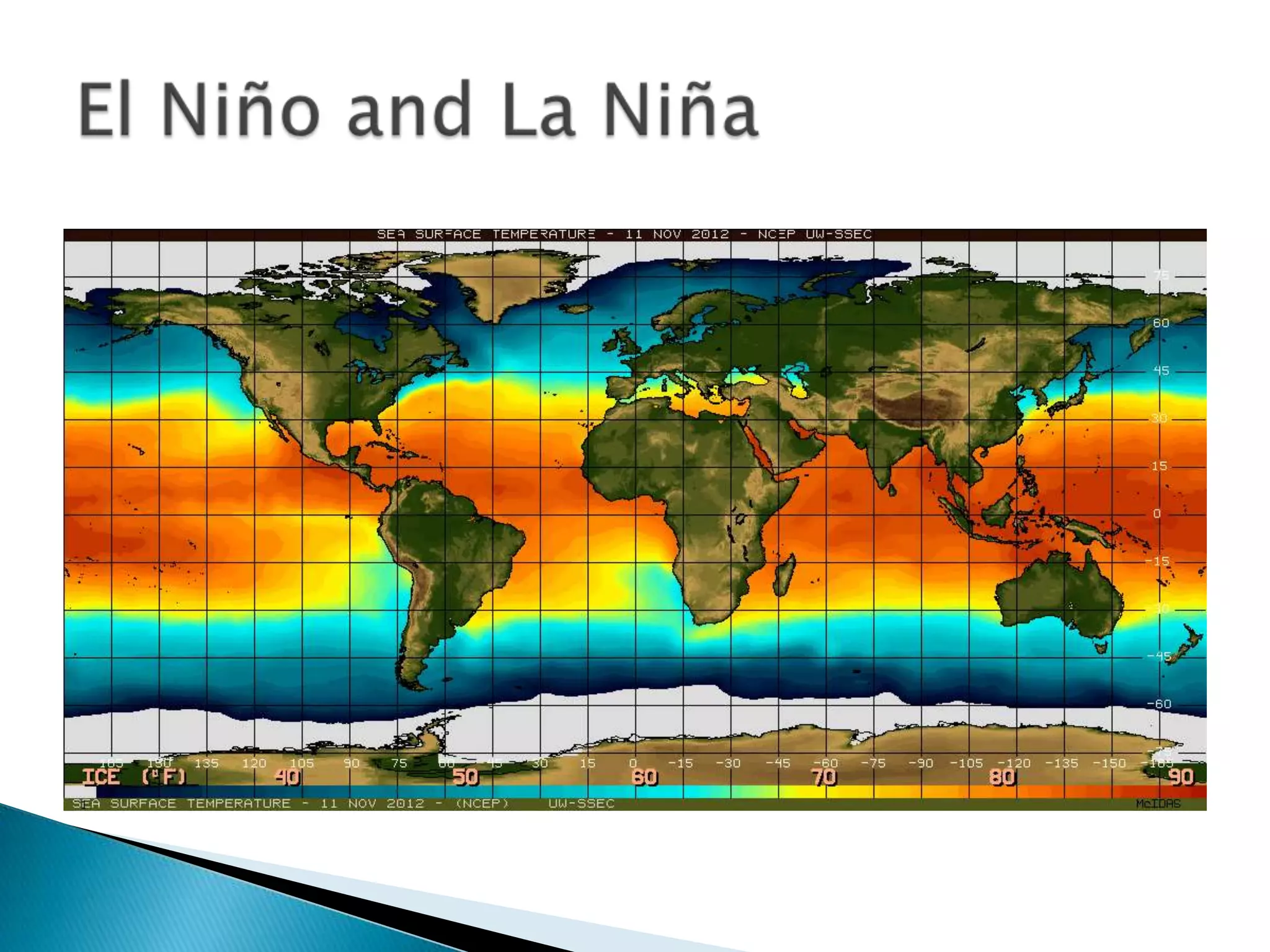
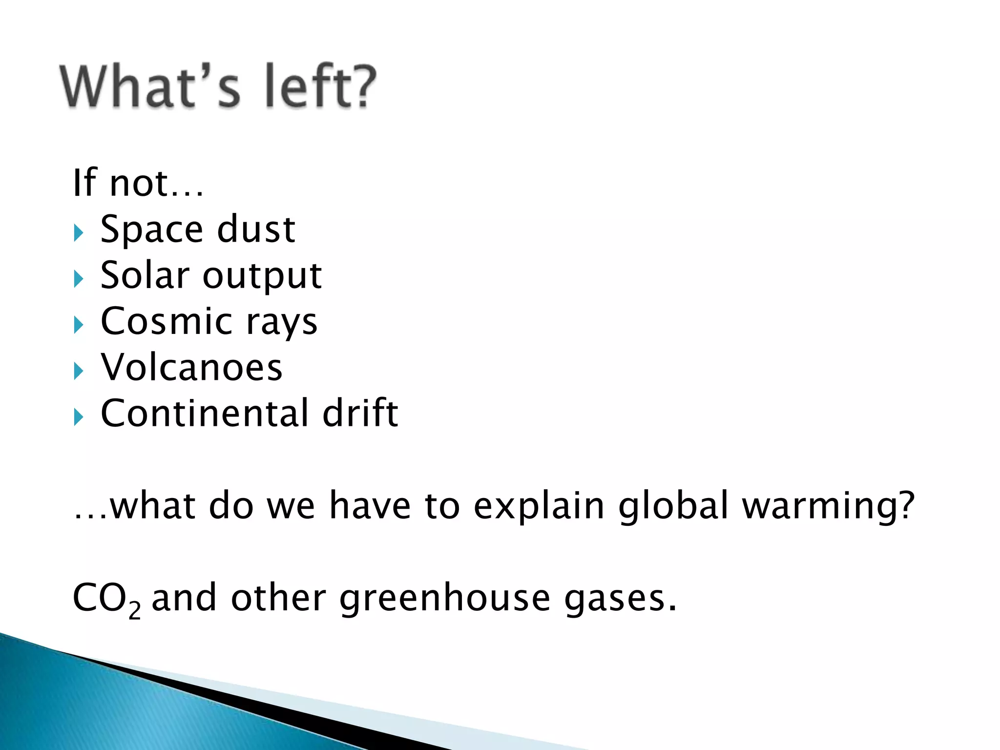
   Past climate and environmental data is derived from
    natural sources that inform us about Earth’s climate
    thousands to millions of years ago.

   Proxy data is data that stands in for instrumental
    records from weather stations, balloons, and satellites.
    Paleoclimatic data is therefore proxy data.
   “History really does matter – if something
    happened in the past, it must have been
    possible, it should be understood, and it can
    be used to test our understanding.”

   If humans are changing the climate, we
    should be able to rule out other things that
    caused the climate to change before.
   Coral
   Ocean and lakes sediments
        Fossilized pollen
        Fossilized plants
        Fossilized shells
   Tree Rings/Fire history
   Ice Cores
   Cave deposits
   Loess and Eolian
   Ocean and lakes sediments
       Fossilized plants
       Fossilized shells
       Fossilized pollen

   Ice Cores

Most of the following materials come from the
National Climatic Data Center:
http://www.ncdc.noaa.gov/
   Between 6 and 11 billion metric tons of sediment
    accumulate in the ocean and lake basins each year.
    Scientists drill cores of sediment from the basin floors.
    Ocean and lake sediments consist of materials that were
    produced in the lake/ocean or that washed in from nearby
    land. These materials (preserved tiny fossils and chemicals
    in the sediments) can be used to interpret past climate.
   Algal alkenones:
    “Natural thermometers.”

http://icestories.explorat
orium.edu/dispatches/alk
enones-natural-
thermometers/
   Shell prevalence and composition tell us
    about chemical composition of the
    atmosphere and ocean as well as
    temperature.
Each species and genus of plants produces
pollen grains which have a distinct shape.
These shapes can be used to identify the type
of plant from which they came. Inferences can
then be made about the climate based on the
types of plants found in each layer.
   Located high in
    mountains and deep in
    polar ice caps, ice has
    accumulated from
    snowfall over many
    centuries. Scientists
    drill through the deep
    ice to collect ice cores.
    These cores contain
    dust, air bubbles, or
    isotopes of
    oxygen, that can be
    used to interpret the
    past climate of that
    area.
http://www.youtube.com/watch?v=oH
zADl-XID8
Ruling out cosmic and geological activity.
   Space dust
   Solar stuff
   Cosmic rays
   Volcanoes
   Continental drift
   What’s left?
   Ocean and lake sediments and ice cores

Proxy data that contains information on what?
   Meteorite, asteroid, and comet impacts.
   ~65 m.y.a. an asteroid 6 miles wide hit the
    Yucatan peninsula blasting a crater 110 miles
    wide and blanketing the Earth with an ash
    cloud.
   The sun changes little over short time scales
    accounting.

   May slightly affect El Niño and La Niña
    patterns in the Pacific.

   El Niño is characterized by unusually warm
    temperatures and La Niña by unusually cool
    temperatures in the equatorial Pacific.
   While El Niño and La Niña can have warming
    and cooling impacts at the equator of a
    couple of degrees Celsius, current science
    estimates the sun’s influence on these is a
    few tenths of a degree Fahrenheit.
   Rays from deep space and solar wind interact
    with Earth’s atmosphere.

   This radiation’s intensity varies.

   It interacts with the Earth’s magnetic field.

   How?
   Solar wind ionizes
                             particles in the
                             atmosphere.
                            More solar wind ionizes
                             more particles.
                            Earth’s magnetic field
                             shields the atmosphere
                             and surface from solar
                             wind. The stronger the
                             magnetic field, the less
                             solar wind, the less
                             ionized the atmosphere.
                            The interactions are
                             traceable through
                             magnetic alignments in
Solar wind strikes the       beryllium10 and magnetic
Earth’s magnetic field       alignments in lava flows.
   Volcanic eruptions
    release CO2 & sulfuric
    acid H2SO4
   Large eruptions like
    Mt. Pinatubo cool the
    globe a few tenths of a
    degree for a year or
    two.


http://www.youtube.com        Mount Pinatubo
/watch?v=C6_PIuIBUX8          Philippines, 1991
   Continental drift
                                occurs very slowly –
                                inches per year.
                               Topography and
                                arrangement matter.
                               But change is so slow it
                                produces a negligible
                                effect.


Sequence and global location of continental plates
over previous 200 million years.
If not…
 Space dust
 Solar output
 Cosmic rays
 Volcanoes
 Continental drift


…what do we have to explain global warming?

CO2 and other greenhouse gases.

Paleoclimatic data

  • 2.
    Past climate and environmental data is derived from natural sources that inform us about Earth’s climate thousands to millions of years ago.  Proxy data is data that stands in for instrumental records from weather stations, balloons, and satellites. Paleoclimatic data is therefore proxy data.
  • 3.
    “History really does matter – if something happened in the past, it must have been possible, it should be understood, and it can be used to test our understanding.”  If humans are changing the climate, we should be able to rule out other things that caused the climate to change before.
  • 4.
    Coral  Ocean and lakes sediments Fossilized pollen Fossilized plants Fossilized shells  Tree Rings/Fire history  Ice Cores  Cave deposits  Loess and Eolian
  • 5.
    Ocean and lakes sediments Fossilized plants Fossilized shells Fossilized pollen  Ice Cores Most of the following materials come from the National Climatic Data Center: http://www.ncdc.noaa.gov/
  • 6.
    Between 6 and 11 billion metric tons of sediment accumulate in the ocean and lake basins each year. Scientists drill cores of sediment from the basin floors. Ocean and lake sediments consist of materials that were produced in the lake/ocean or that washed in from nearby land. These materials (preserved tiny fossils and chemicals in the sediments) can be used to interpret past climate.
  • 7.
    Algal alkenones: “Natural thermometers.” http://icestories.explorat orium.edu/dispatches/alk enones-natural- thermometers/
  • 8.
    Shell prevalence and composition tell us about chemical composition of the atmosphere and ocean as well as temperature.
  • 9.
    Each species andgenus of plants produces pollen grains which have a distinct shape. These shapes can be used to identify the type of plant from which they came. Inferences can then be made about the climate based on the types of plants found in each layer.
  • 10.
    Located high in mountains and deep in polar ice caps, ice has accumulated from snowfall over many centuries. Scientists drill through the deep ice to collect ice cores. These cores contain dust, air bubbles, or isotopes of oxygen, that can be used to interpret the past climate of that area. http://www.youtube.com/watch?v=oH zADl-XID8
  • 13.
    Ruling out cosmicand geological activity.
  • 14.
    Space dust  Solar stuff  Cosmic rays  Volcanoes  Continental drift  What’s left?
  • 15.
    Ocean and lake sediments and ice cores Proxy data that contains information on what?
  • 16.
    Meteorite, asteroid, and comet impacts.  ~65 m.y.a. an asteroid 6 miles wide hit the Yucatan peninsula blasting a crater 110 miles wide and blanketing the Earth with an ash cloud.
  • 17.
    The sun changes little over short time scales accounting.  May slightly affect El Niño and La Niña patterns in the Pacific.  El Niño is characterized by unusually warm temperatures and La Niña by unusually cool temperatures in the equatorial Pacific.
  • 19.
    While El Niño and La Niña can have warming and cooling impacts at the equator of a couple of degrees Celsius, current science estimates the sun’s influence on these is a few tenths of a degree Fahrenheit.
  • 20.
    Rays from deep space and solar wind interact with Earth’s atmosphere.  This radiation’s intensity varies.  It interacts with the Earth’s magnetic field.  How?
  • 21.
    Solar wind ionizes particles in the atmosphere.  More solar wind ionizes more particles.  Earth’s magnetic field shields the atmosphere and surface from solar wind. The stronger the magnetic field, the less solar wind, the less ionized the atmosphere.  The interactions are traceable through magnetic alignments in Solar wind strikes the beryllium10 and magnetic Earth’s magnetic field alignments in lava flows.
  • 22.
    Volcanic eruptions release CO2 & sulfuric acid H2SO4  Large eruptions like Mt. Pinatubo cool the globe a few tenths of a degree for a year or two. http://www.youtube.com Mount Pinatubo /watch?v=C6_PIuIBUX8 Philippines, 1991
  • 23.
    Continental drift occurs very slowly – inches per year.  Topography and arrangement matter.  But change is so slow it produces a negligible effect. Sequence and global location of continental plates over previous 200 million years.
  • 24.
    If not…  Spacedust  Solar output  Cosmic rays  Volcanoes  Continental drift …what do we have to explain global warming? CO2 and other greenhouse gases.