
Download as PDF, PPTX
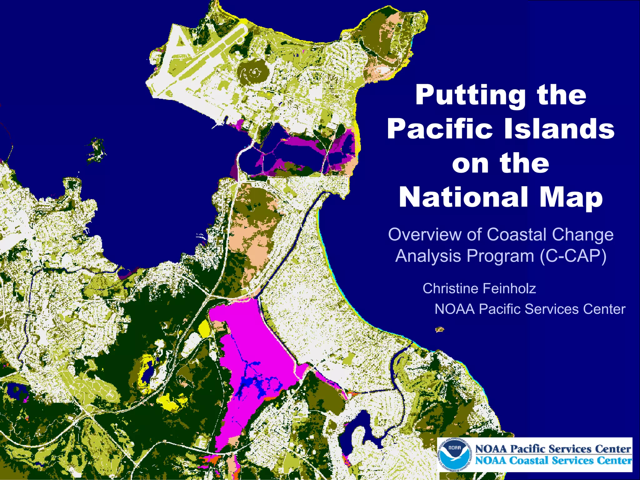
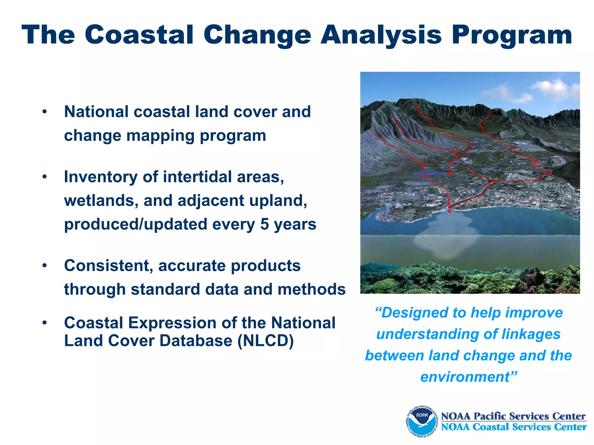

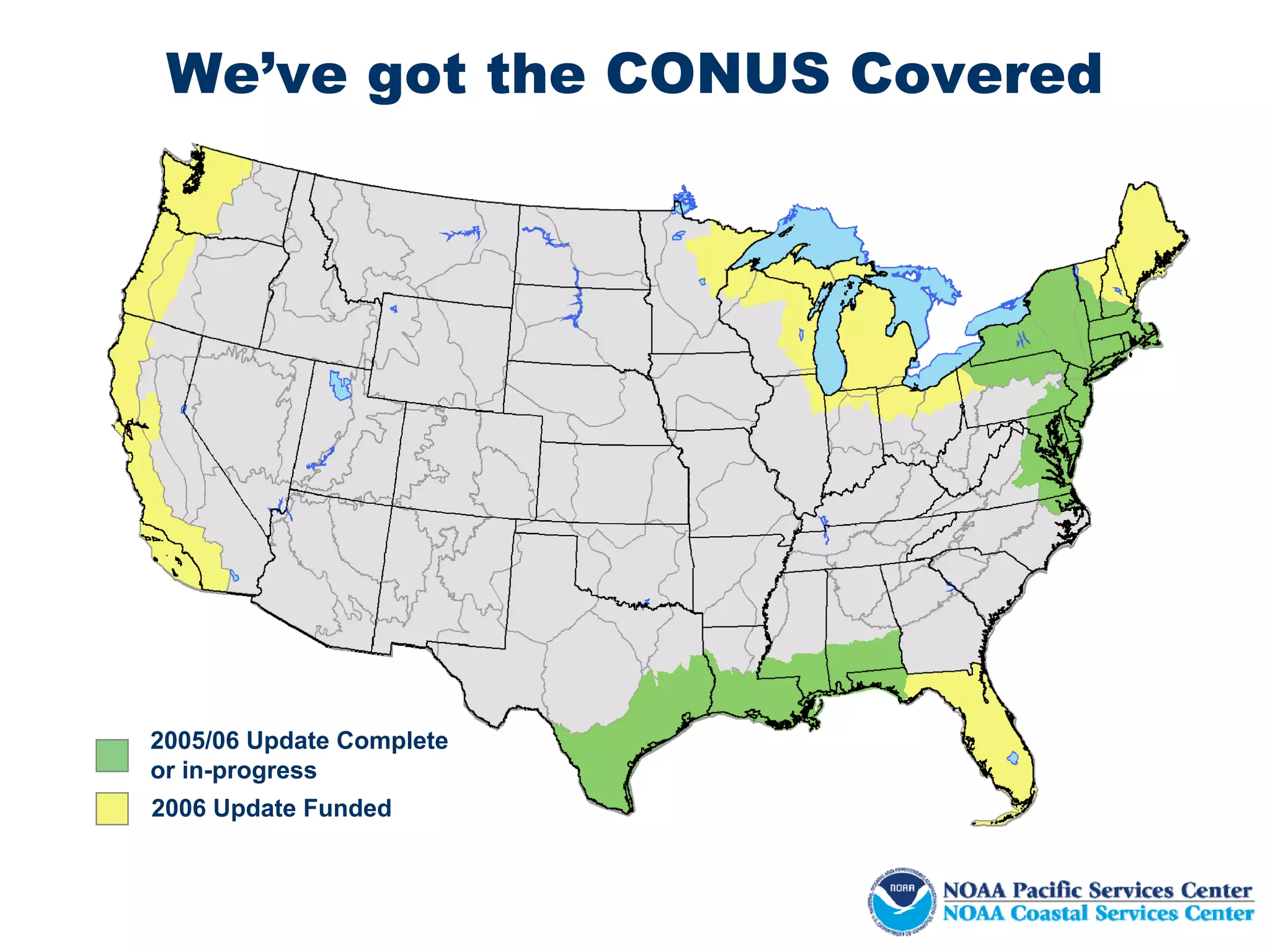
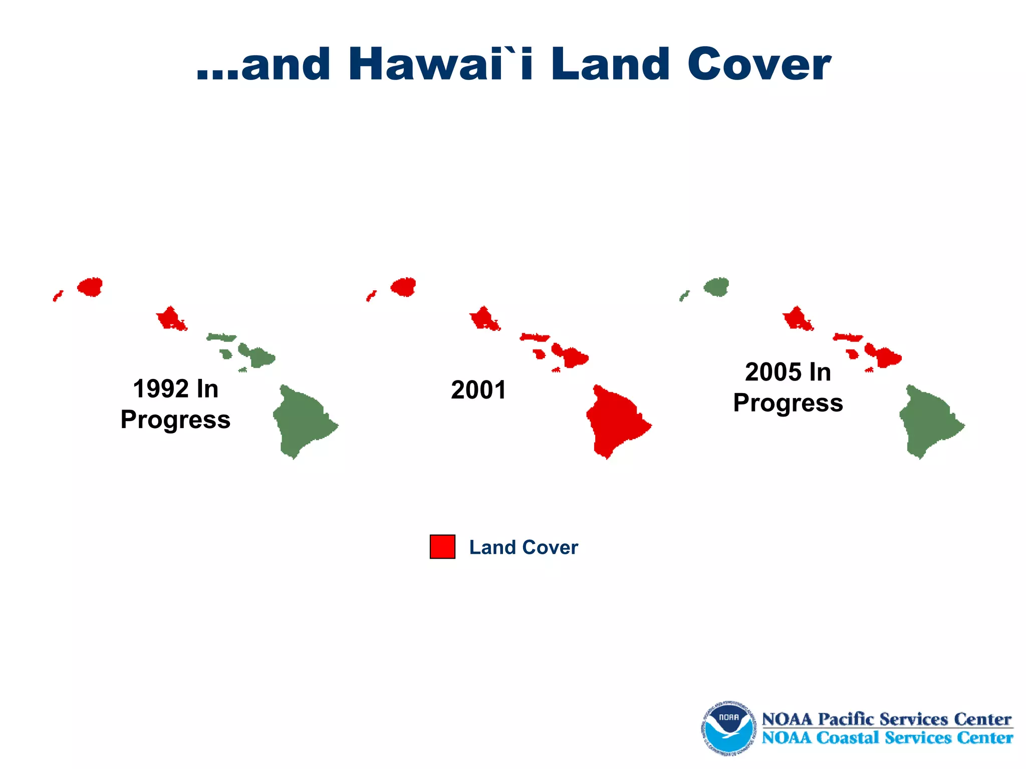
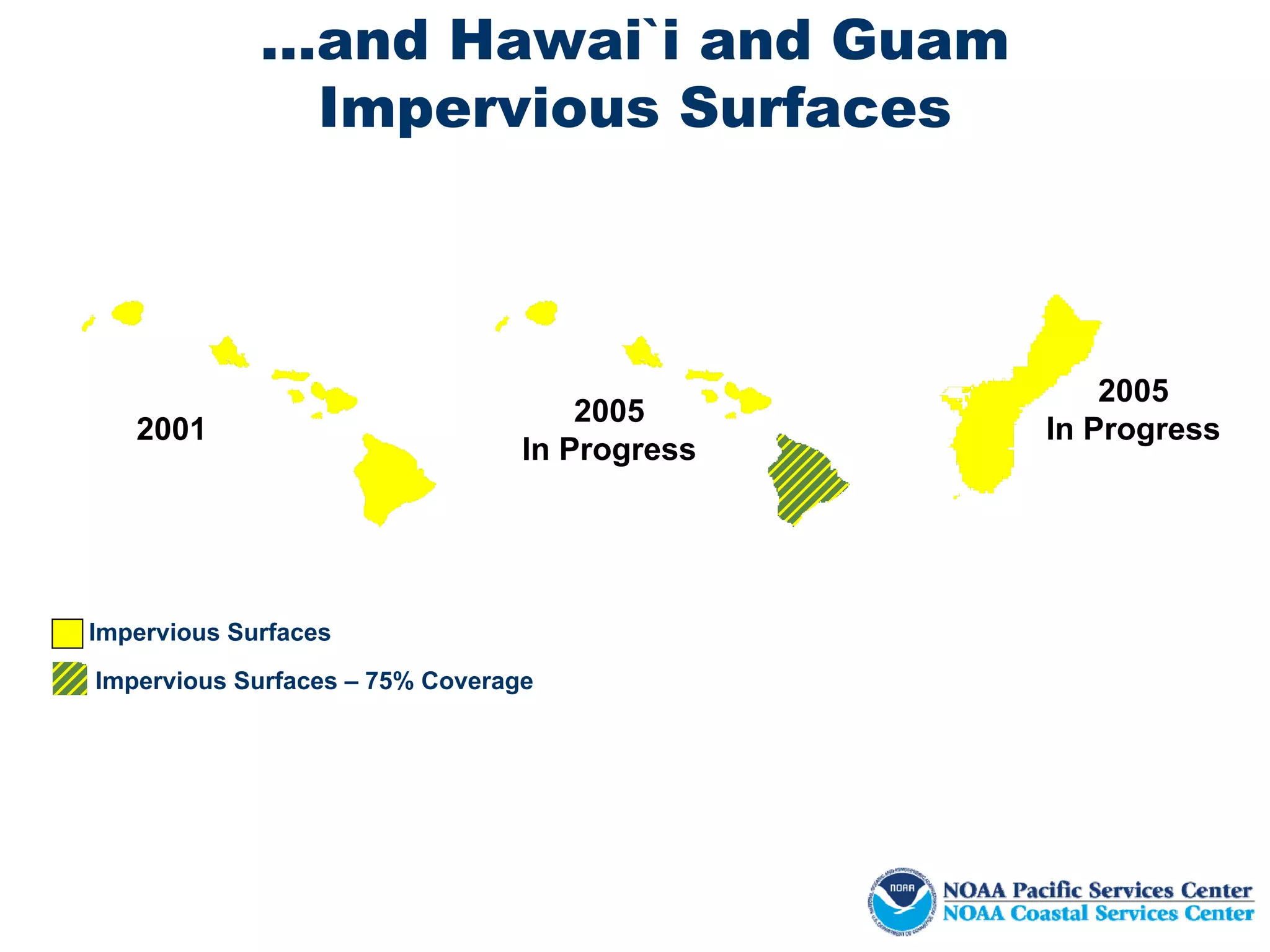
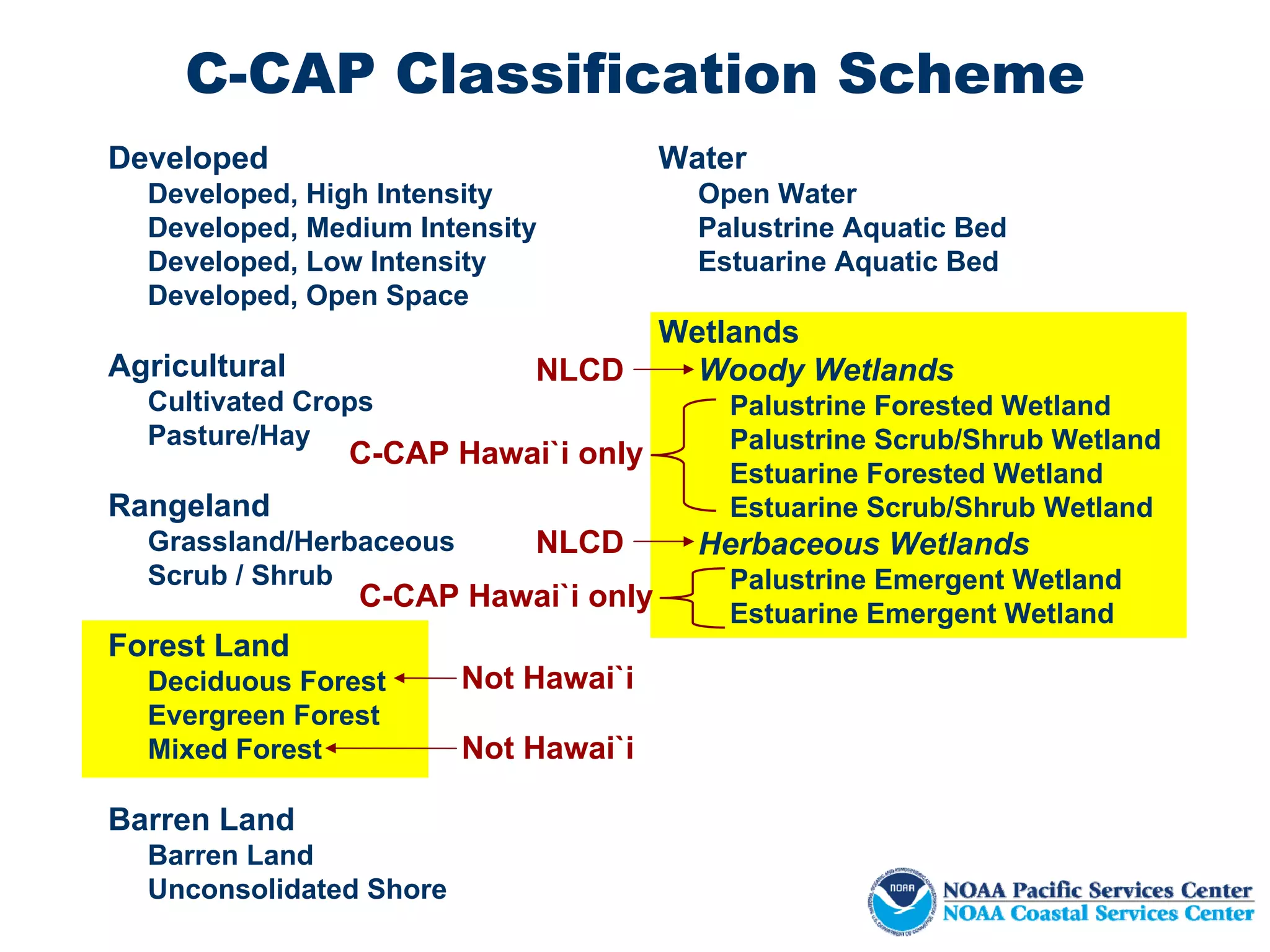
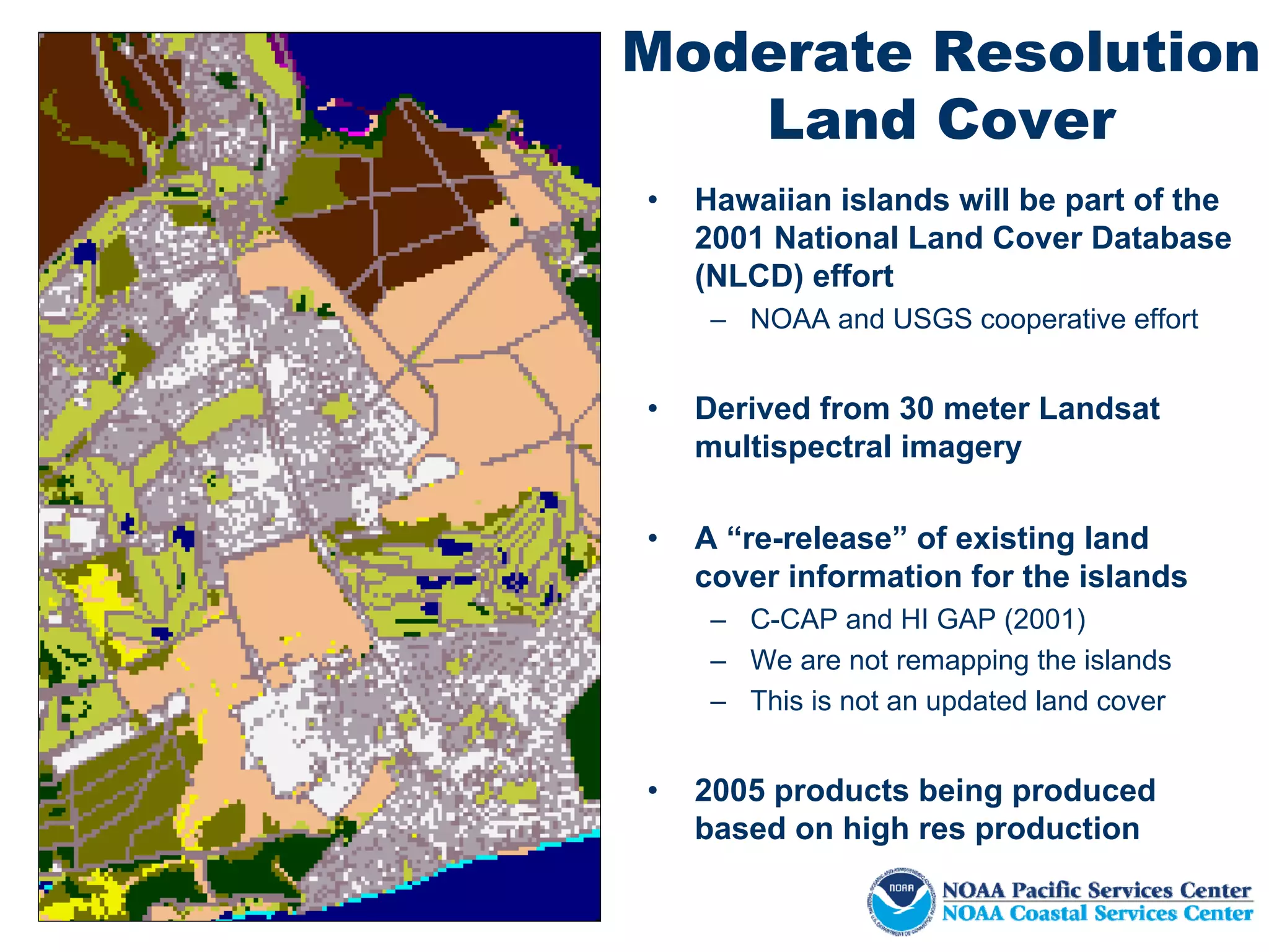
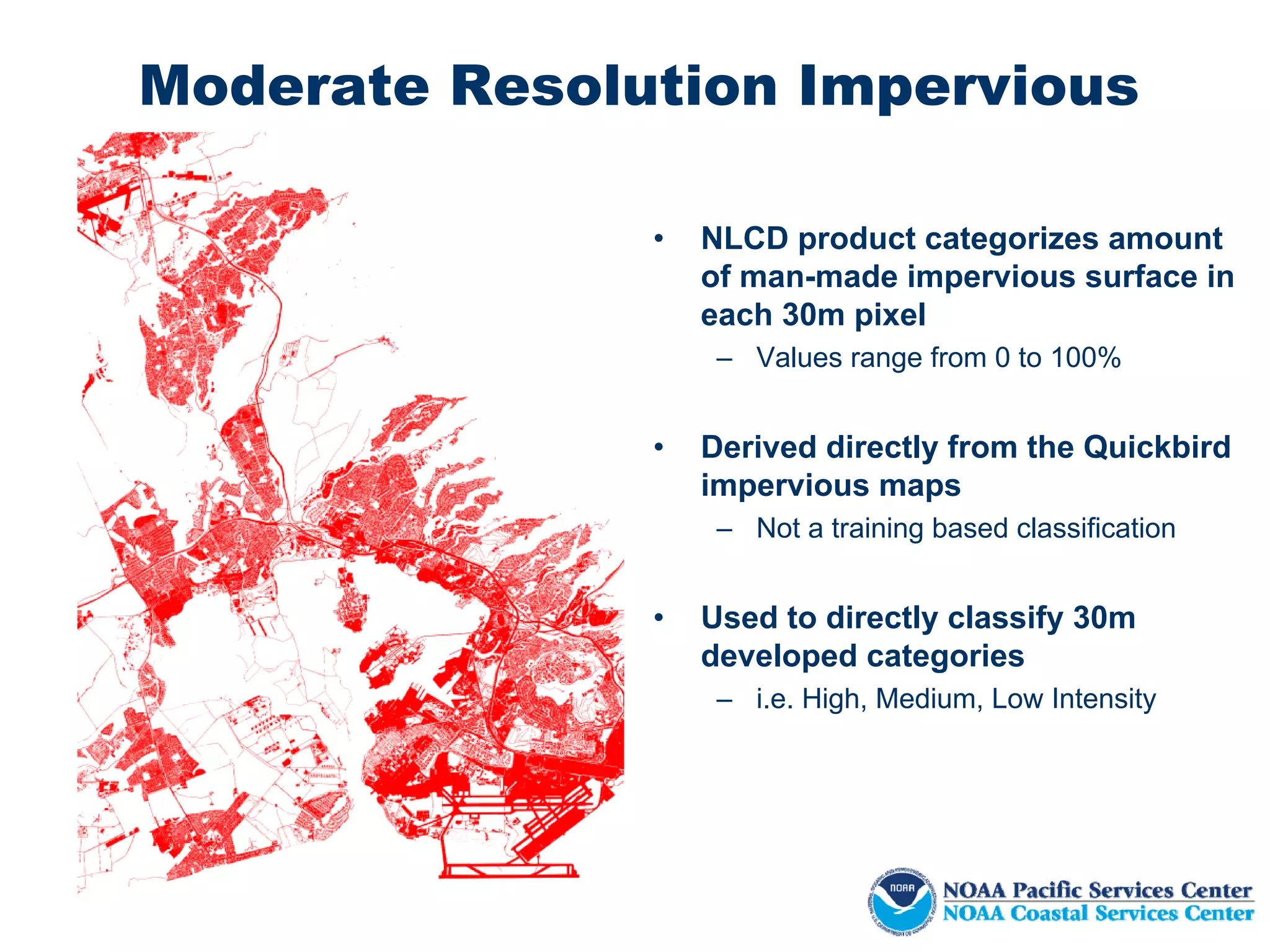
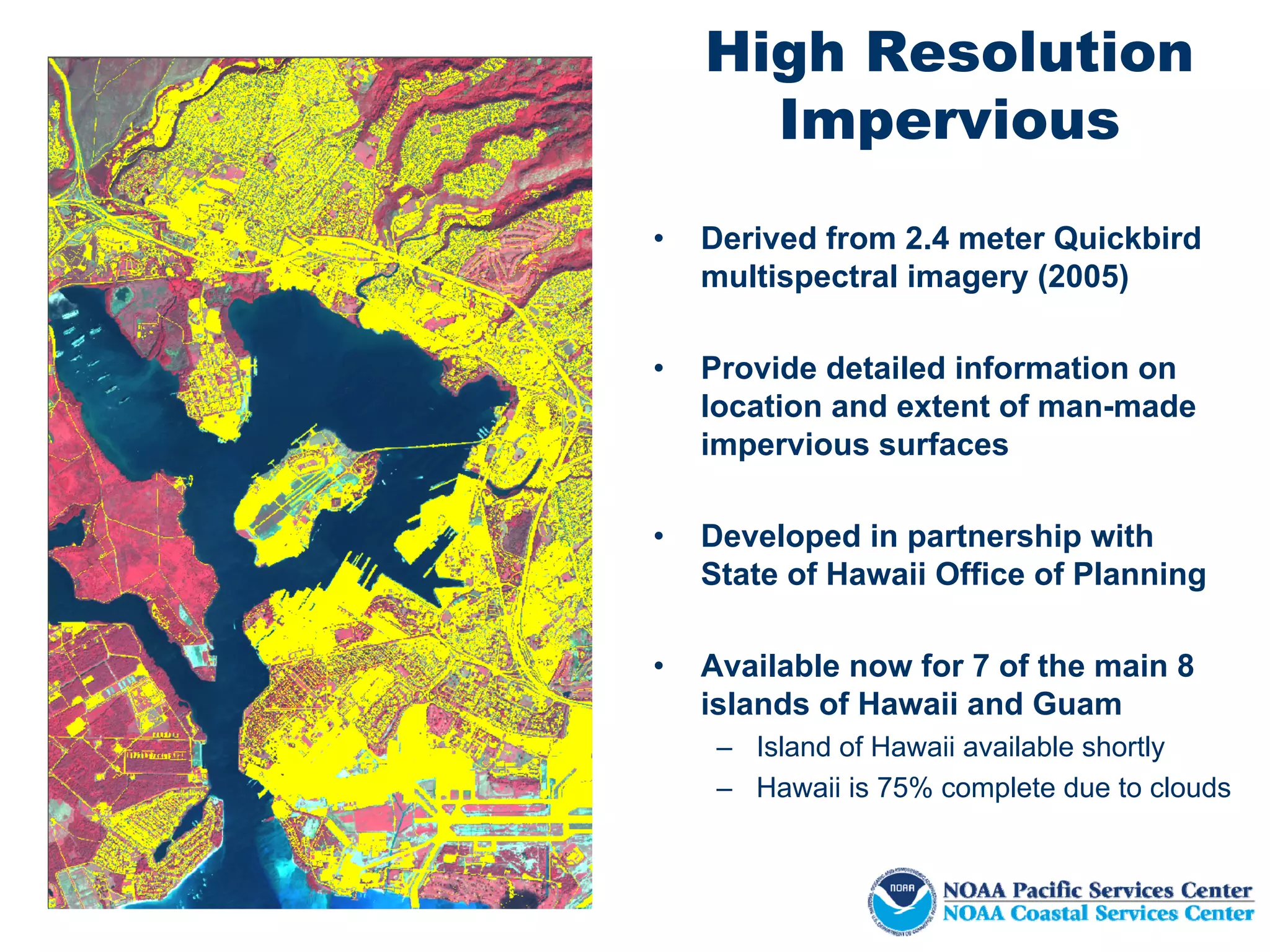
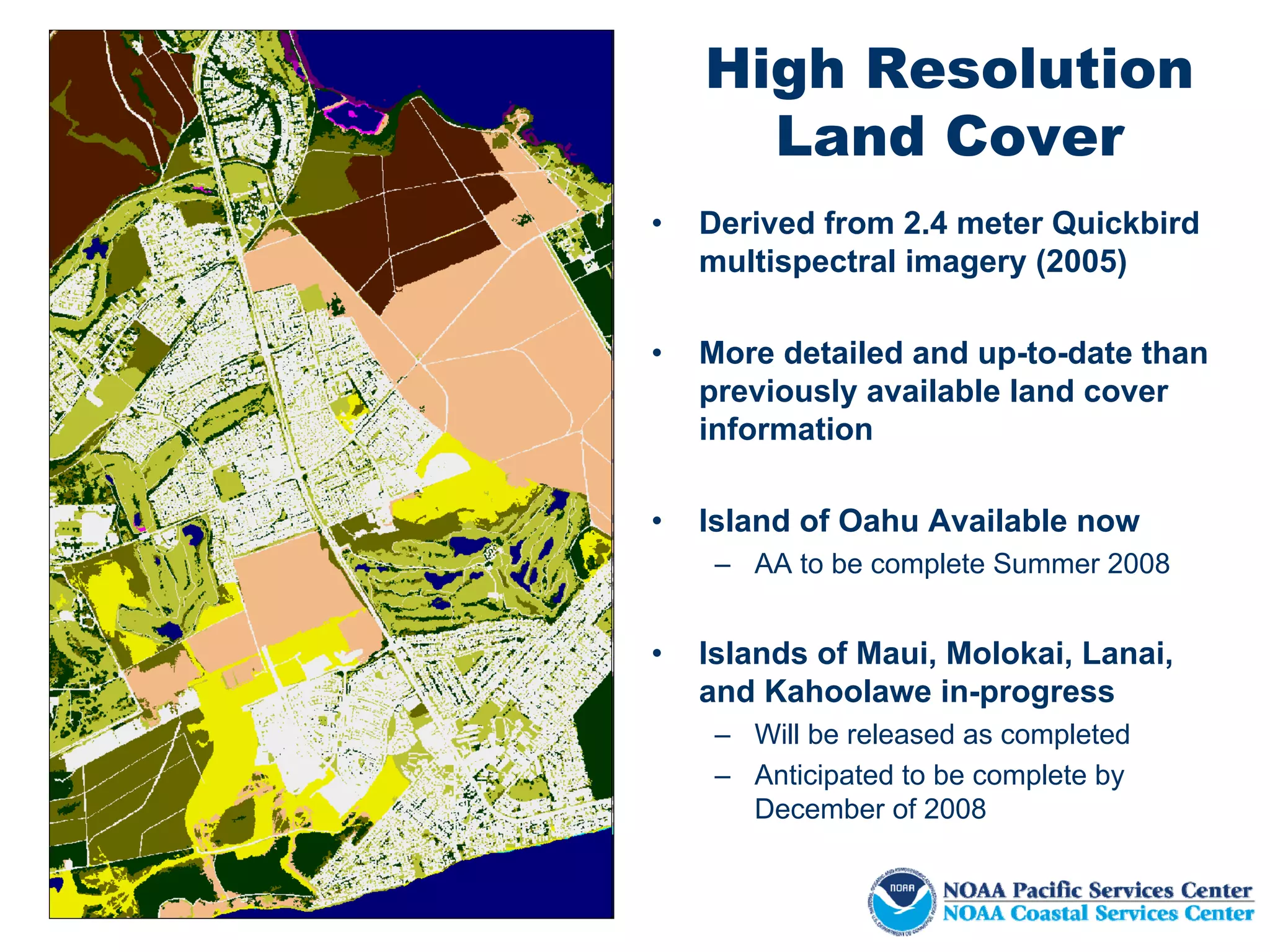
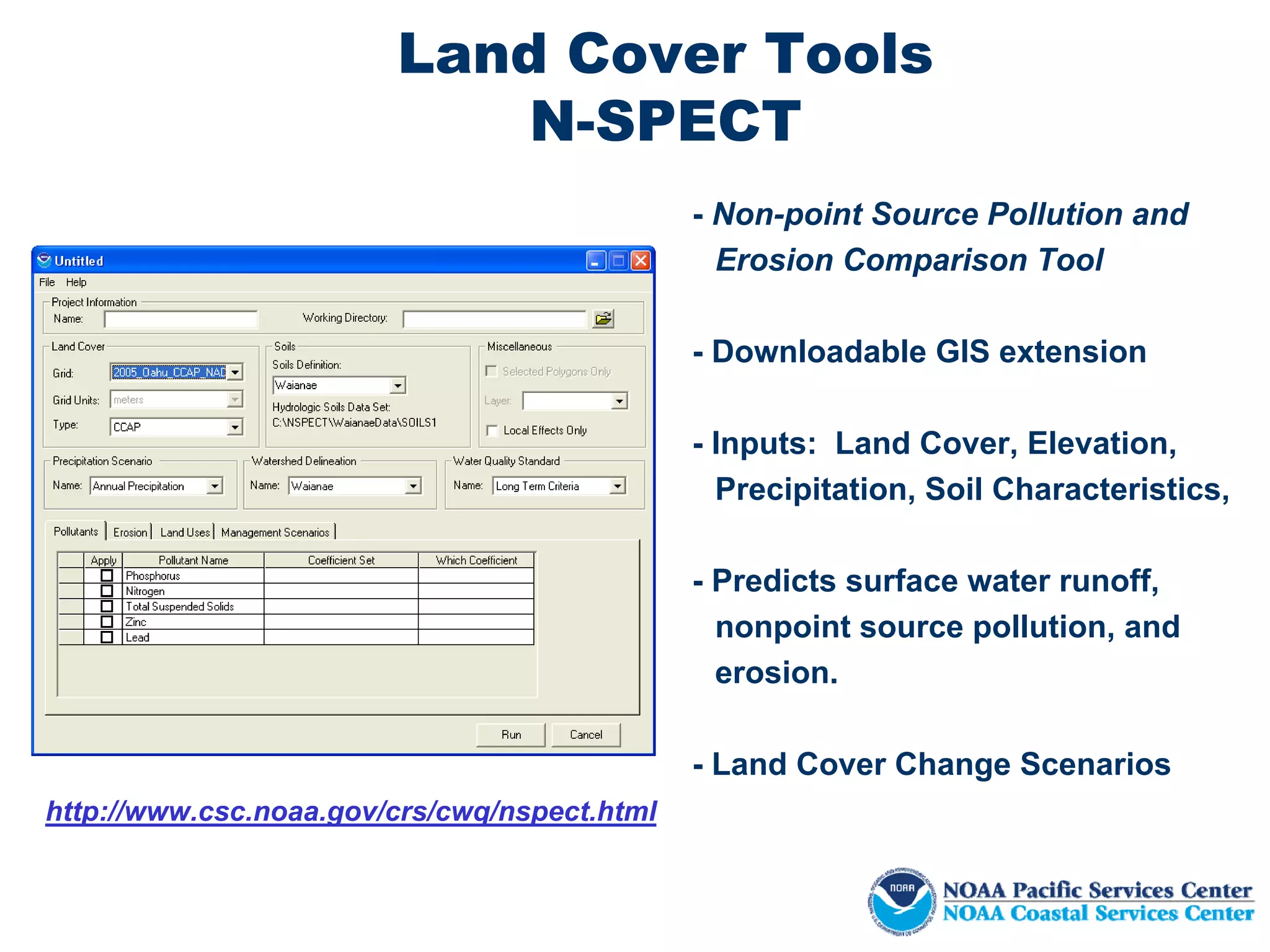
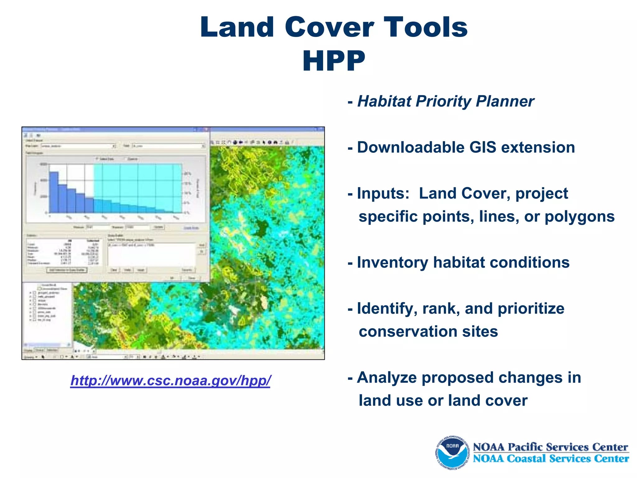
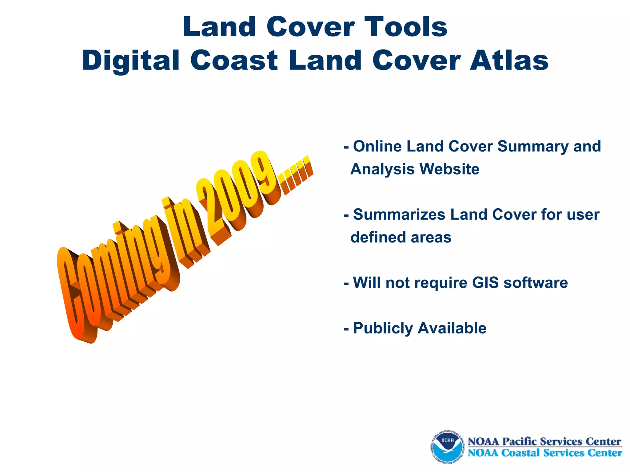
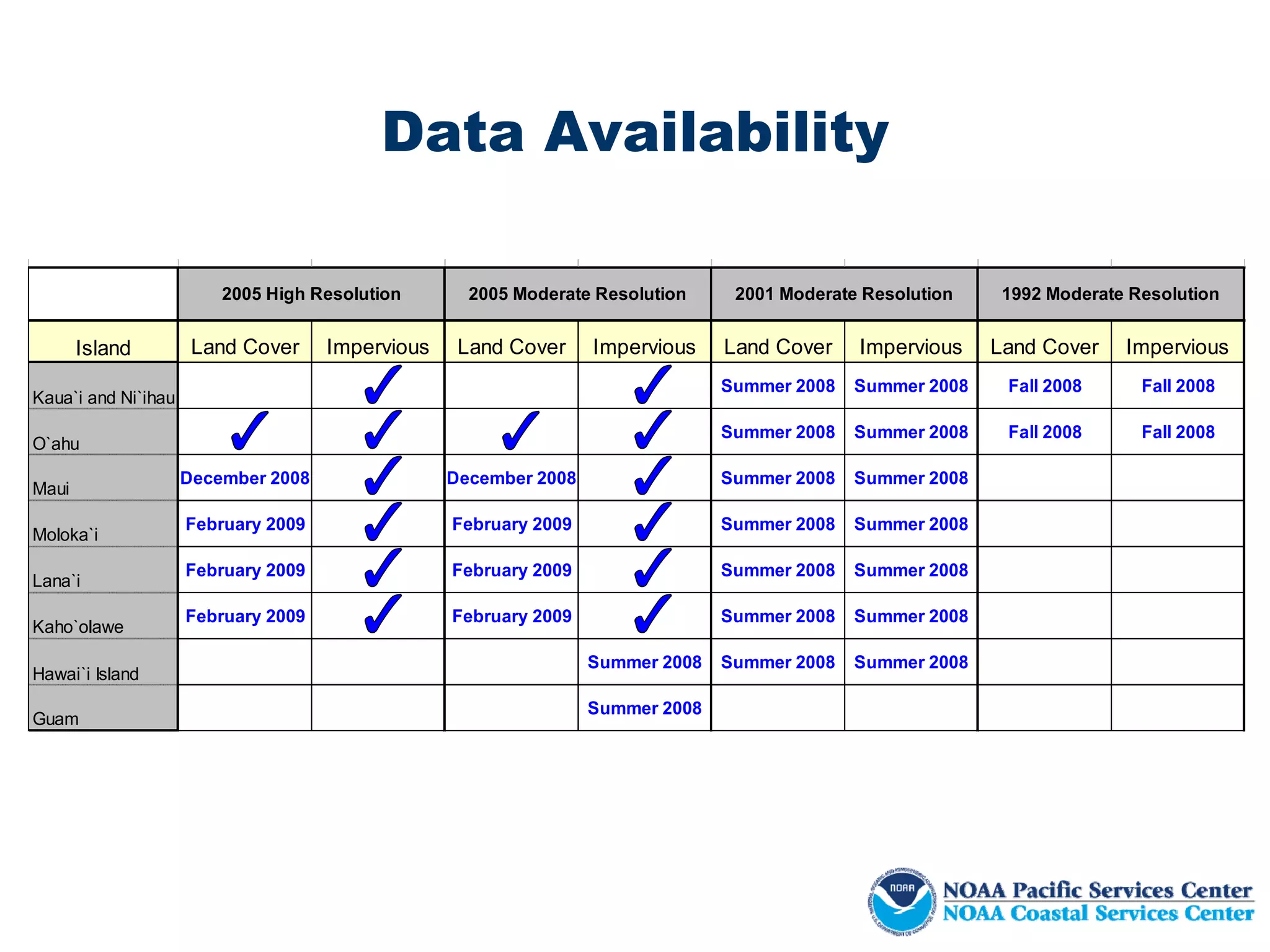
The Coastal Change Analysis Program (C-CAP) produces national coastal land cover maps every 5 years using consistent data and methods. C-CAP maps land cover for coastal areas, including wetlands and adjacent uplands. High resolution 2005 land cover and impervious surface maps have been completed for many Hawaiian islands using Quickbird satellite imagery. Moderate resolution 2001 land cover maps also exist and will be re-released as part of a national effort. The maps and analysis tools help understand coastal environment changes.


