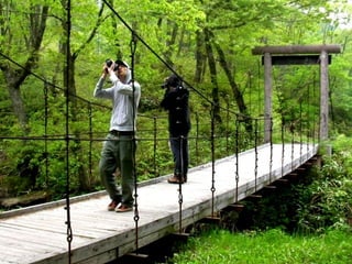
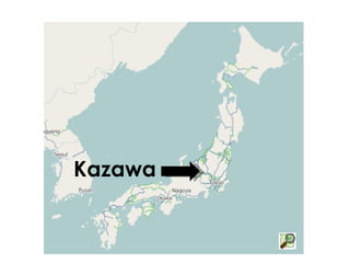
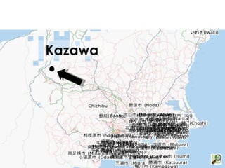
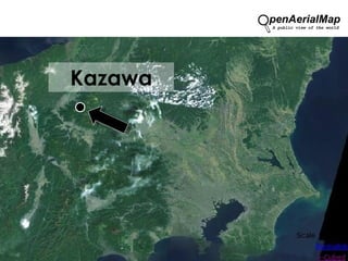
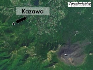
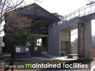
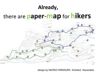
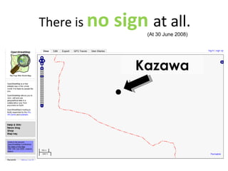
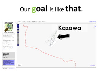
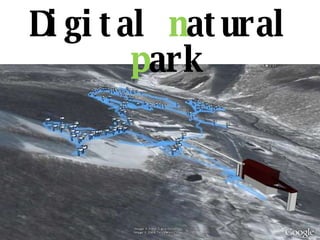
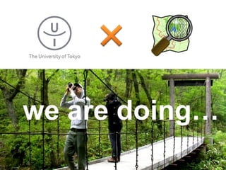
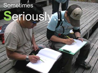
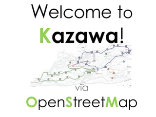
O pen S treet Map for  N ational   P ark Take, Nakamura  and  Furuhashi ( Natural Environmental Studies, the Univ. of Tokyo)
 
 
In  the class of the  U niv.  of  Tokyo , Why  we  learn  about   OSM ?
What  is the  p urpose ?
We  have  3 reason s
①
G et  the   s kills
U se   the   d ata that  we got
②
Digitalize the  N ational   P ark   data
Test Field is “ K azawa ”
Kazawa
Kazawa
Kazawa
Kazawa
there are  m aintained   f acilities
Already, there are  p aper - m ap  for  h ikers  design by NAOKO HIRAKURA  Architect  Associates
Kazawa There is  no sign  at all. (At 30 June 2008)
Kazawa Our   g oal  is like  that .
Geo - d ata b ase  for  n atural   e nv .
Outgoing the  information   over the  world Kazawa
③
Are there  any  u sage ?? ?
for example
B rochure
D igital D irection S ervice
Guide map
Digital  n atural  p ark
The  our  i magination   are s preading !!
S tudent ’ s I mpression
D ifficult ONLY GPS D ata ?
B ackground   M ap may be E ffective
Thus ,
we are doing…
Sometimes S eriously…
Sometimes F rivolously…
W elcome   t o K azawa ! via O pen S treet M ap
www.nenv.jp http://www.openstreetmap.org/?lat=36.45649&lon=138.43607&zoom=16

Open Street Map4 National Park Eng

Editor's Notes

  • #2 なぜか国立公園で詳しいオープンストリートマップ Why we do OSM in National Park?