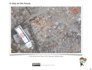
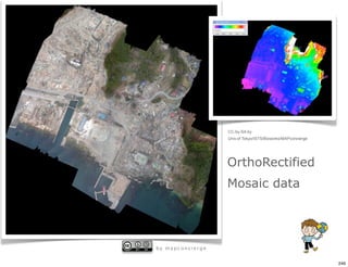
Downloaded 11 times


![KML Sample
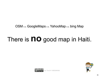
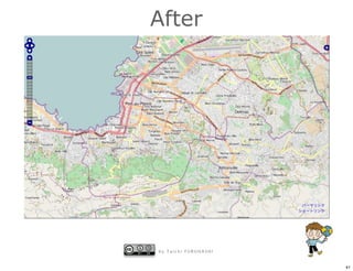
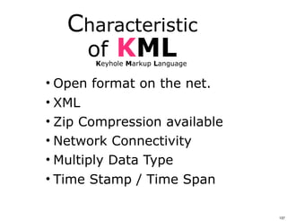
<?xml version="1.0" encoding="UTF-8"?>
<kml xmlns="http://earth.google.com/kml/2.1">
<Folder>
<name>cafe</name>
<description><![CDATA[Created with <a href="http://sketchup.google.com/">Google
SketchUp 6.0.312</a>]]></description>
<LookAt>
<longitude>139.9366077796045</longitude>
<latitude>35.90168740874968</latitude>
<altitude>17.41304574400348</altitude>
<range>104.3070304725559</range>
<tilt>80.4794</tilt>
<heading>141.932</heading>
</LookAt>
<Folder>
<name>Tour</name>
<Placemark>
<name>Camera</name>
<LookAt>
<longitude>139.9366077796045</longitude>
<latitude>35.90168740874968</latitude>
138](https://image.slidesharecdn.com/jicaglobalmap-110818111001-phpapp02/85/20110725-Jica-global-map-138-320.jpg)


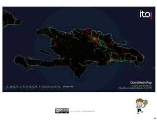
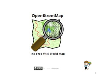
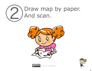
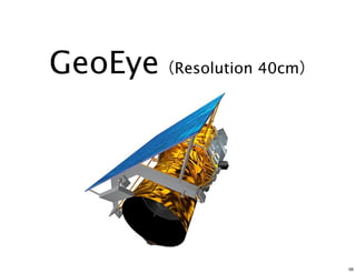
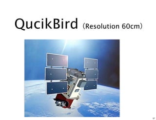
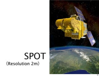
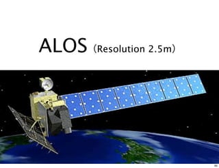
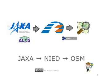
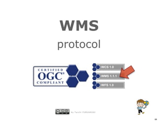
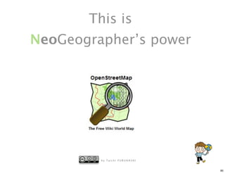
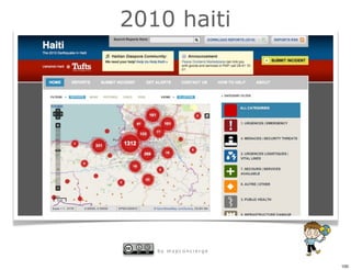
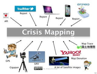
1) The document describes a presentation about using maps on the internet and new technologies. 2) It discusses a project in Haiti where high quality maps were created in a few days by digitizing paper maps and satellite images. These maps on OpenStreetMap were higher quality than Google Maps. 3) Satellite images from companies like GeoEye, QuickBird and ALOS were provided quickly with georeferencing data and hosted on web GIS servers, allowing collaboration between OpenStreetMap mappers and organizations in Japan.


