
Download to read offline

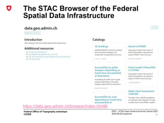
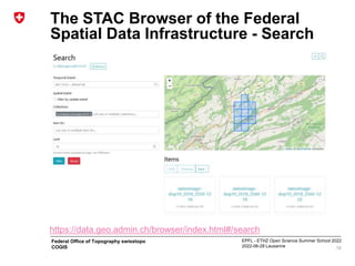
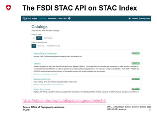

The document presents the experience of swisstopo at the EPFL-ETHZ Open Science Summer School 2022, focusing on the strategies and specifications for open government data (OGD) in Switzerland. It outlines the timeline of OGD strategies from 2014 to 2023, legal and financial considerations, and the implementation of the STAC (Spatiotemporal Asset Catalog) specifications for efficient geodata management. Additionally, it highlights technical solutions and the infrastructure supporting the federal spatial data system, along with its impact on various applications and services.


