Downloaded 11 times
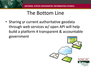
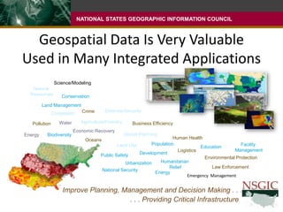
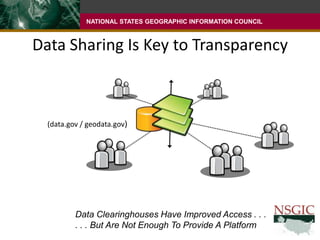
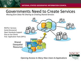
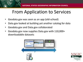
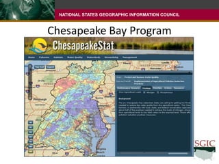
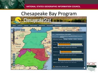
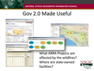
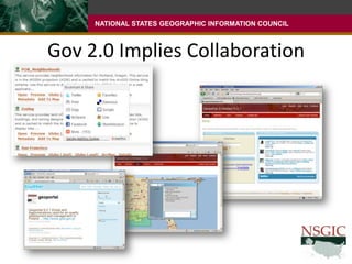
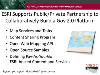
This document discusses the importance of sharing geospatial data through open web services and APIs to build a platform for transparent and accountable government. It notes that geospatial data is valuable for a wide range of applications and provides critical infrastructure for planning, management, and decision making. However, simply sharing data files is not enough - governments need to create shared geospatial services using open standards to make data widely accessible to new users and applications. It highlights examples like the Chesapeake Bay Program partnership and how ESRI supports public-private partnerships to collaboratively build an open geospatial platform for government 2.0.