Downloaded 12 times


![For More Information About the Minnesota Experience http://www.gis.state.mn.us/committee/MSDI/dte.htm David Arbeit – [email_address] Michael Terner – [email_address]](https://image.slidesharecdn.com/1nsgicmnngeo-daslidesfinal-091009095847-phpapp01/85/Minnesota-GIS-15-320.jpg)
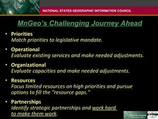
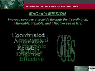
The document discusses the creation and development of GIS coordination in Minnesota over several decades, from the establishment of the state's first GIS program in 1978 to the creation of the Minnesota Geospatial Information Office (MnGeo) in 2009 by legislation. It outlines MnGeo's mission to improve statewide services through coordinated, affordable, reliable and effective use of GIS. MnGeo has a staff of 7.5 FTEs and focuses on priorities that match its legislative mandate such as operational and organizational evaluation and pursuing strategic partnerships.