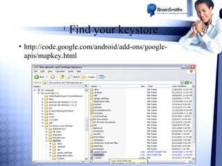
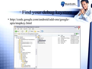
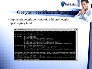
Download to read offline


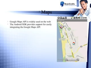
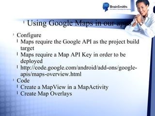

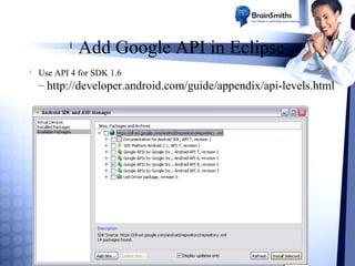
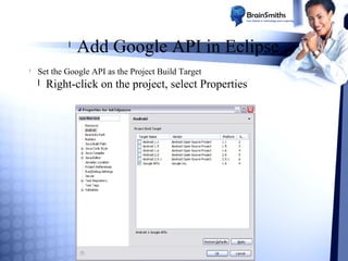
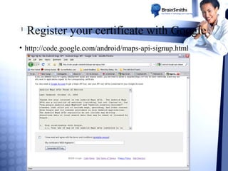
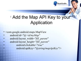
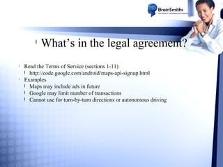
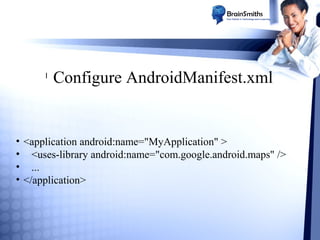


The document provides a comprehensive guide on integrating the Google Maps API with Android applications, detailing the necessary configurations, key management, and coding practices. It covers aspects such as setting up map views, handling geolocation services, and implementing both reverse and forward geocoding. Additionally, it includes legal agreements and usage limitations associated with the Google Maps API.


![[English] Create Mobile LBS Application Using Maps API](https://cdn.slidesharecdn.com/ss_thumbnails/createmobilelbsapplicationusingmapsapi-googleonemobileeventen-150422202736-conversion-gate01-thumbnail.jpg?width=640&height=640&fit=bounds)


