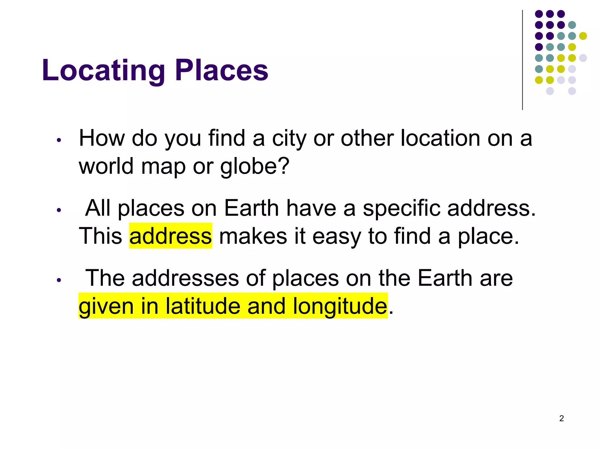
The document discusses how latitude and longitude are used to locate places on Earth. It explains that:
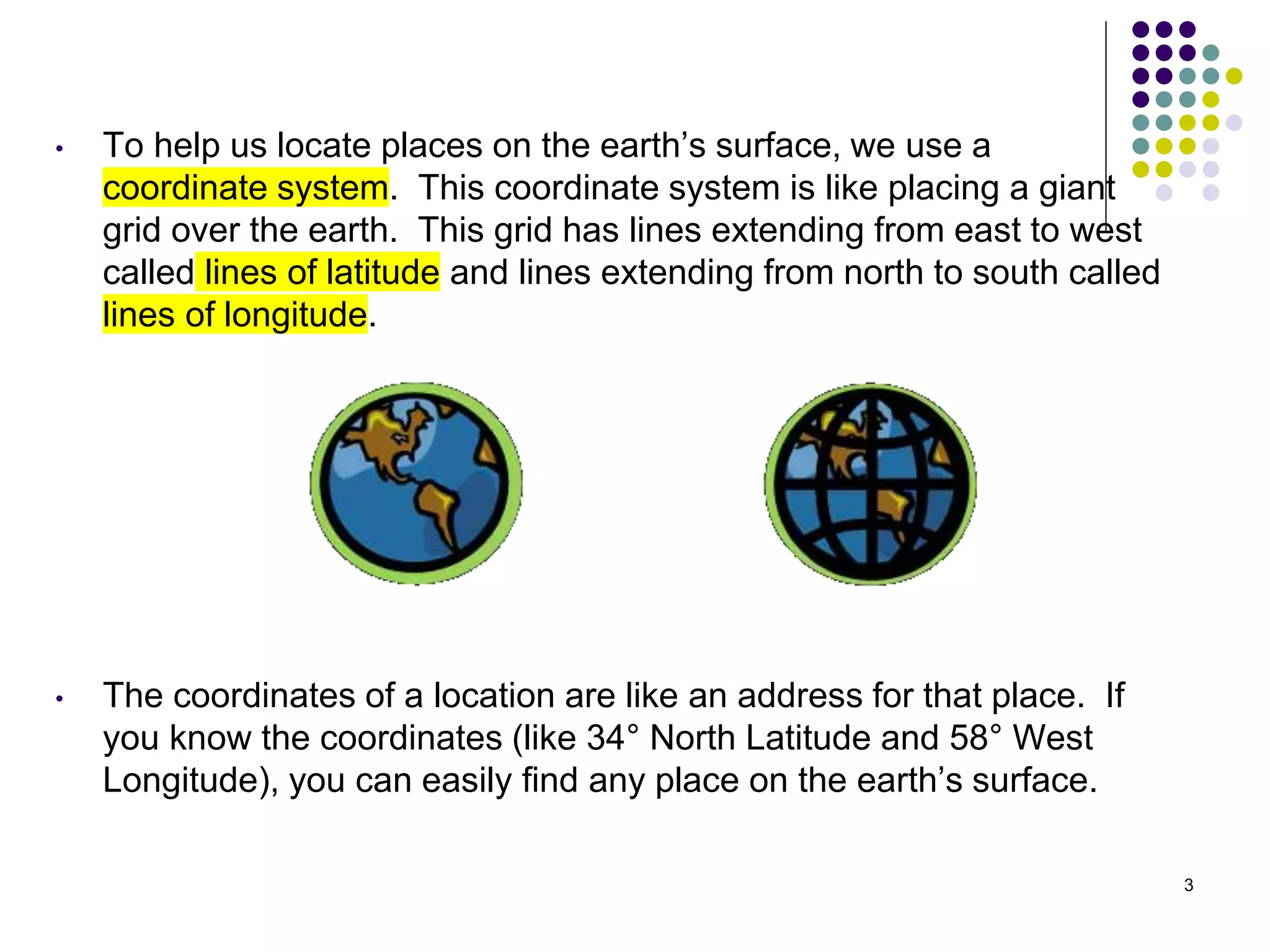
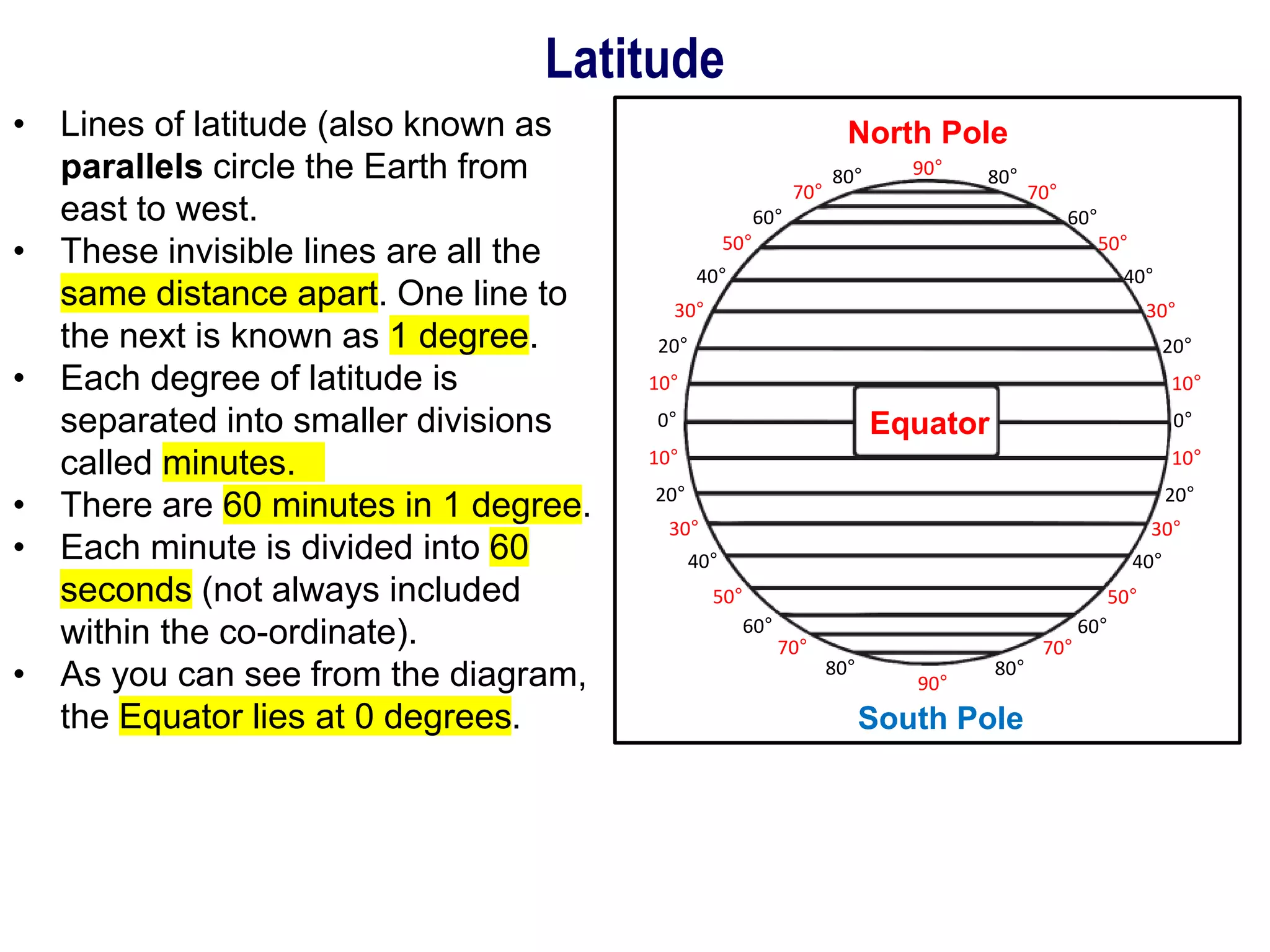
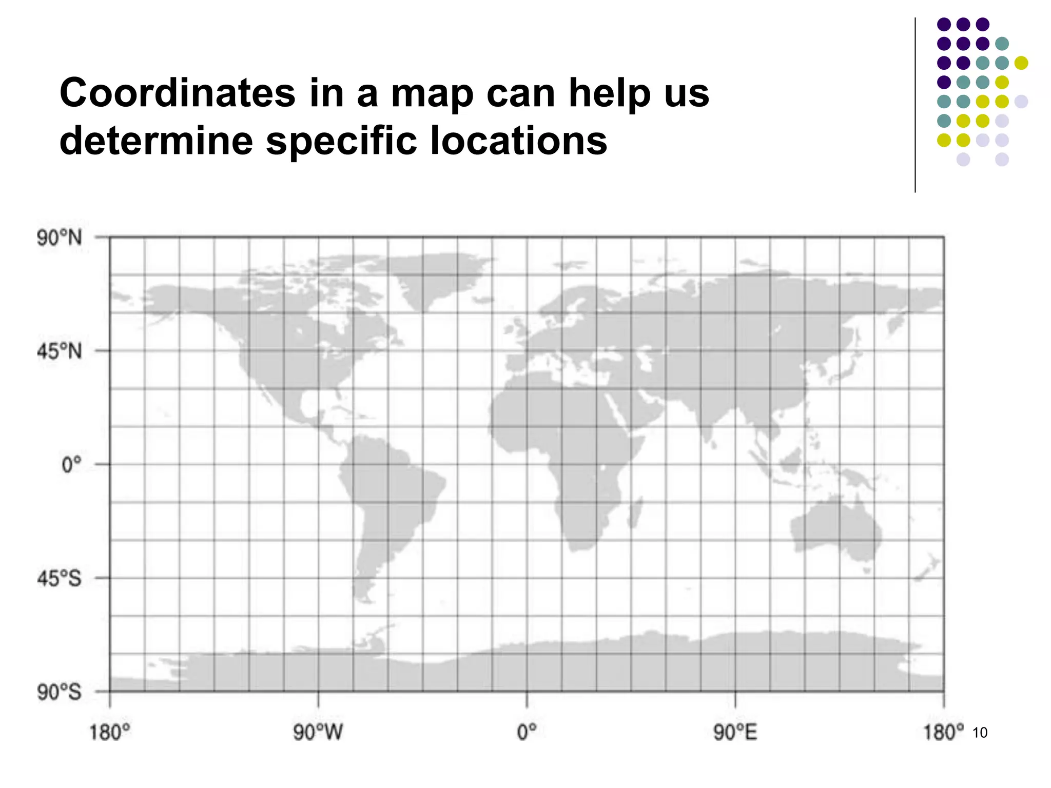
1) Latitude and longitude lines create a grid system that provides coordinates like an address for any place on the planet. Latitude lines run east to west and longitude lines run north to south.
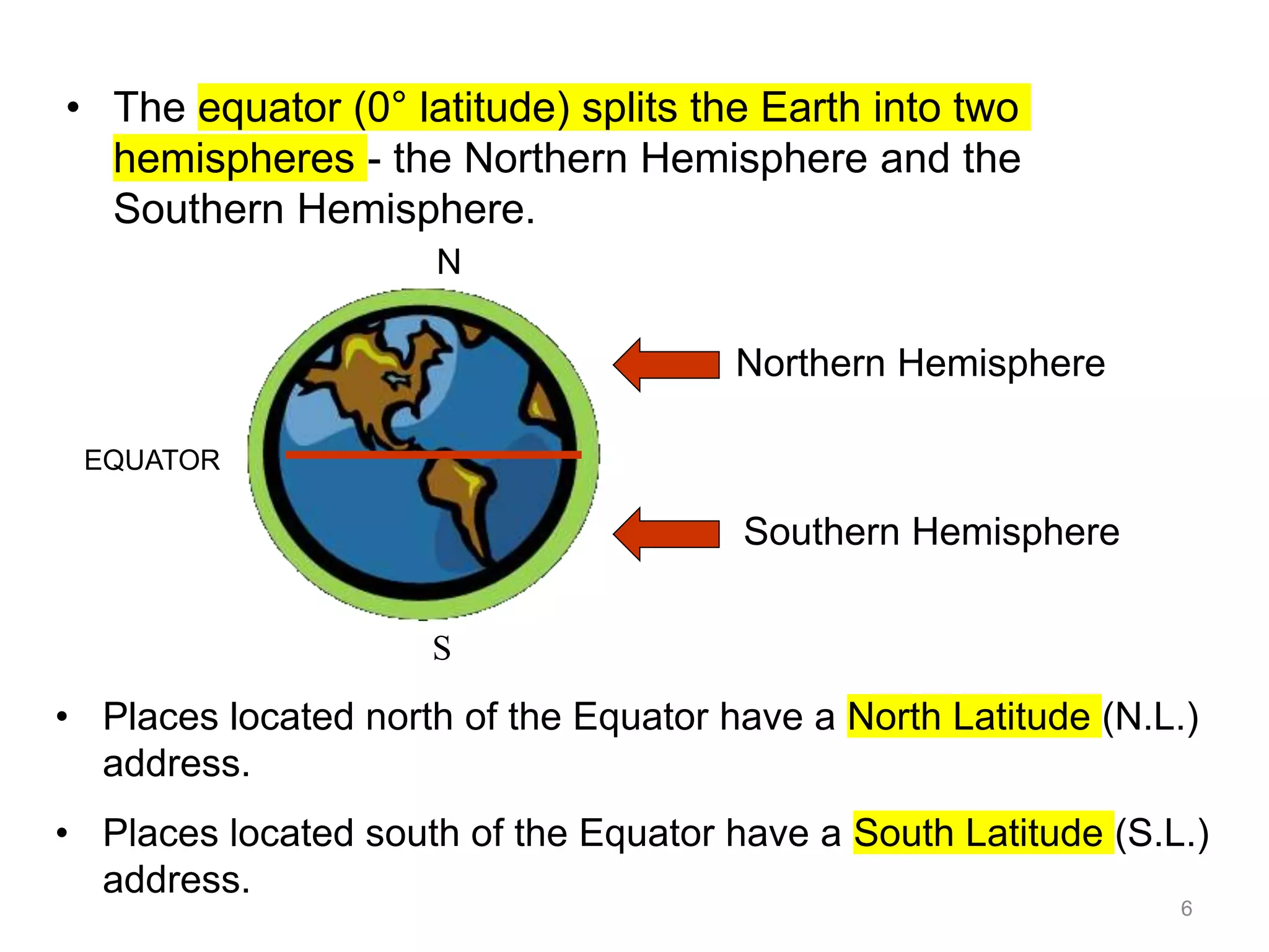
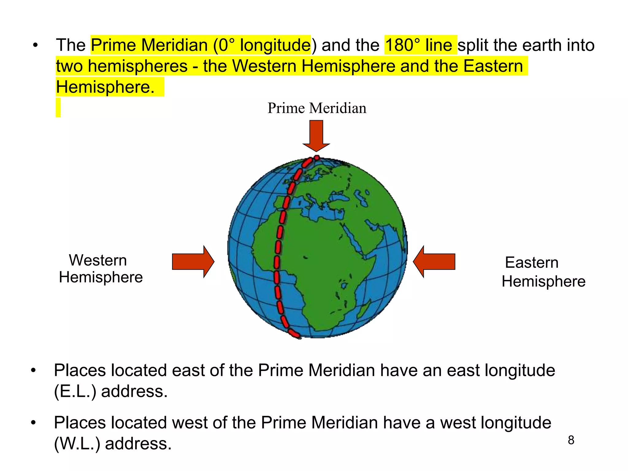
2) The equator is 0 degrees latitude and divides the northern and southern hemispheres. The prime meridian at 0 degrees longitude runs through Greenwich, England and divides the eastern and western hemispheres.
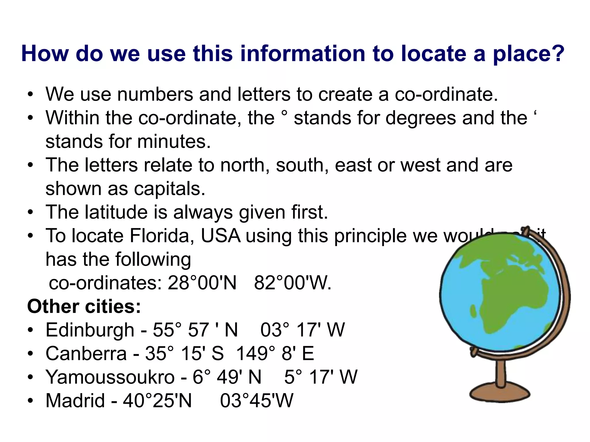
3) Coordinates are written with latitude first, using N for northern and S for southern hemispheres, followed by longitude using E for east and W for west of the prime meridian.