Downloaded 124 times

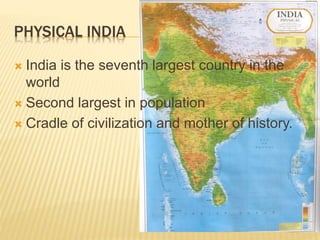

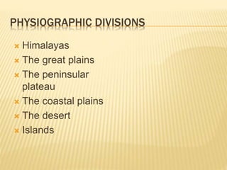
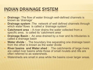
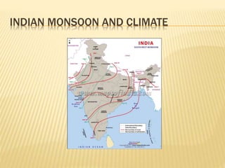
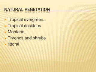
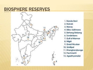


India has a diverse landscape ranging from the Himalayan mountains to coastal plains. It is divided into physiographic divisions including the Himalayas, Great Plains, Peninsular Plateau, Coastal Plains, deserts, and islands. India has a monsoon climate and diverse natural vegetation ranging from tropical evergreen to montane forests. The country's drainage system includes several major river systems like the Ganga and indigenous conservation efforts help preserve biodiversity. Geography, history, economics, and necessity have formed strong ties between India and its neighbors.


![Ch_1_geographical_diviersity_notes[1].docx](https://cdn.slidesharecdn.com/ss_thumbnails/ch1geographicaldiviersitynotes1-260121191317-3e5c211e-thumbnail.jpg?width=640&height=640&fit=bounds)


