Downloaded 167 times


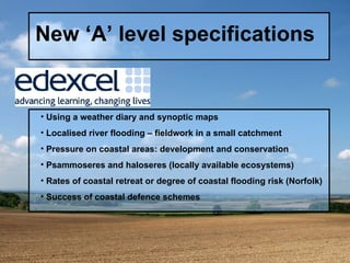
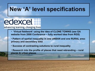
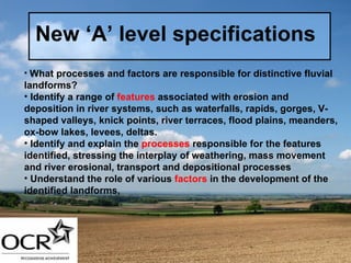
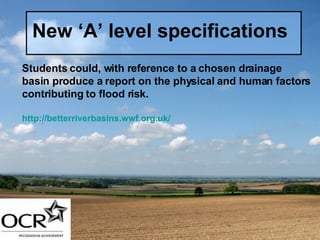
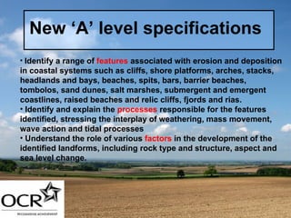
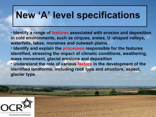
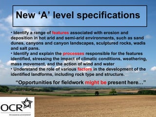
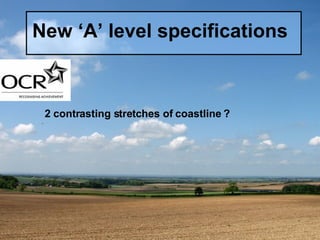
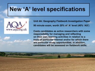
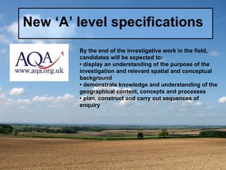
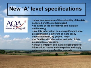
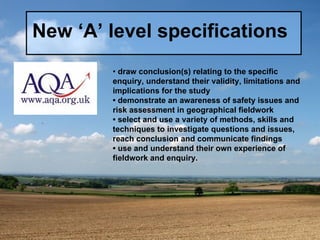

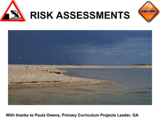
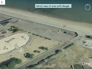
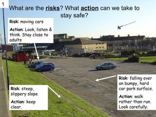
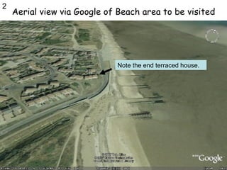
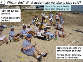


The document discusses fieldwork opportunities for the new A-Level geography specifications in the UK. It provides examples of potential fieldwork activities that could be conducted to investigate different topics, such as river landforms, coastal landforms, landforms in cold and hot desert environments. It also discusses how technology like Google Earth, questionnaires, and risk assessments could be incorporated into fieldwork investigations. The document emphasizes that fieldwork allows students to directly observe geographic features and processes in context, helping them more fully understand required course content.


![Getting Started with Apache Spark: Big Data Made Simple [Free Meetup]](https://cdn.slidesharecdn.com/ss_thumbnails/apachesparkgettingstarted-260203175547-8361bcc3-thumbnail.jpg?width=640&height=640&fit=bounds)

