Download to read offline

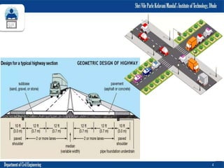
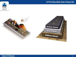


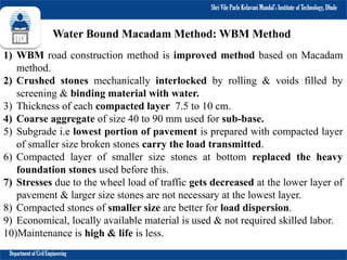
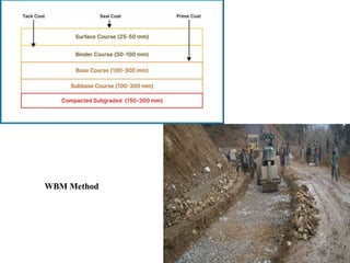
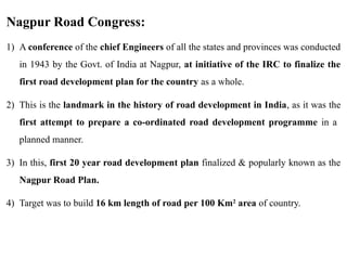

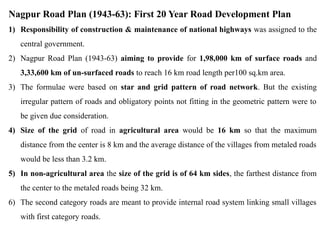
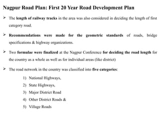
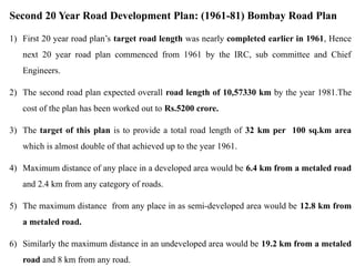
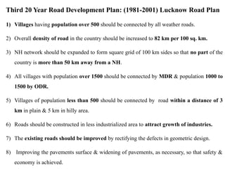
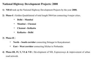
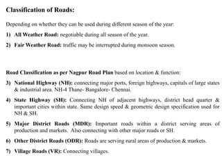

Explore the fundamentals of highway and transportation engineering in this comprehensive module. Covering the historical development of roads, from ancient methods to modern planning, this presentation delves into road classification, geometric design, pavement materials, traffic engineering, and alignment surveys. Learn about key Indian road development plans, including the Nagpur, Bombay, and Lucknow Road Plans, as well as contemporary initiatives like the National Highway Development Project. Ideal for civil engineering students and professionals seeking an in-depth understanding of transportation infrastructure planning, design, and implementation.


![Critical reviews of selected postgraduate programs in transport [recovered] (3)](https://cdn.slidesharecdn.com/ss_thumbnails/criticalreviewsofselectedpostgraduateprogramsintransportrecovered3-210127140922-thumbnail.jpg?width=640&height=640&fit=bounds)


