Download to read offline
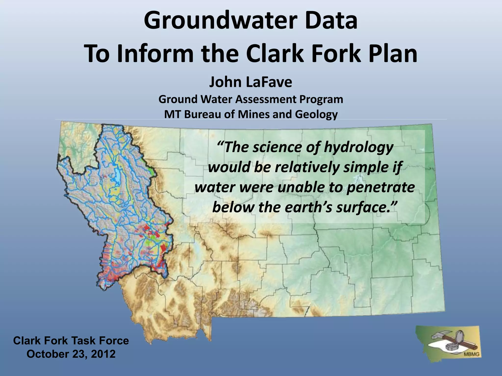
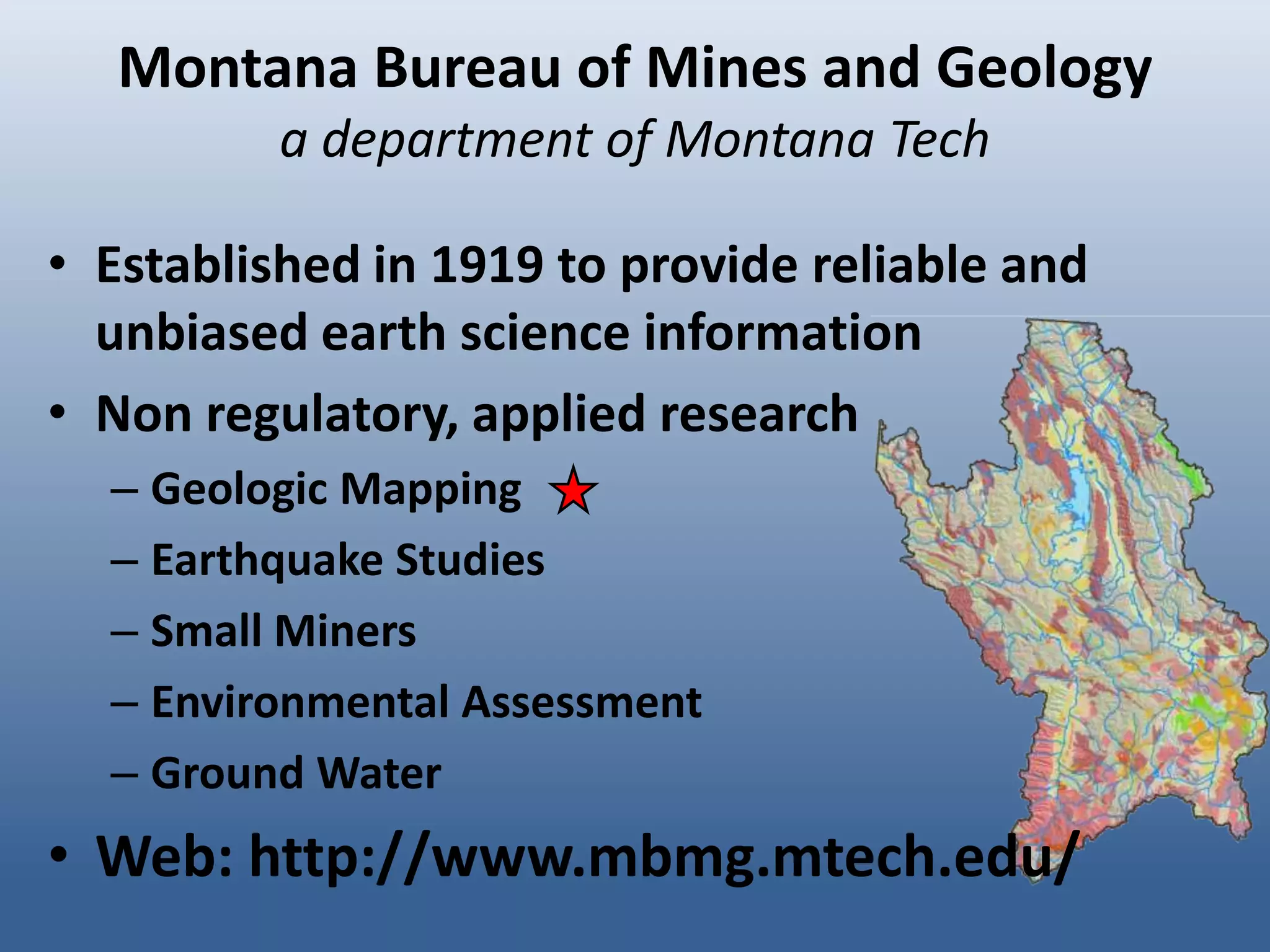
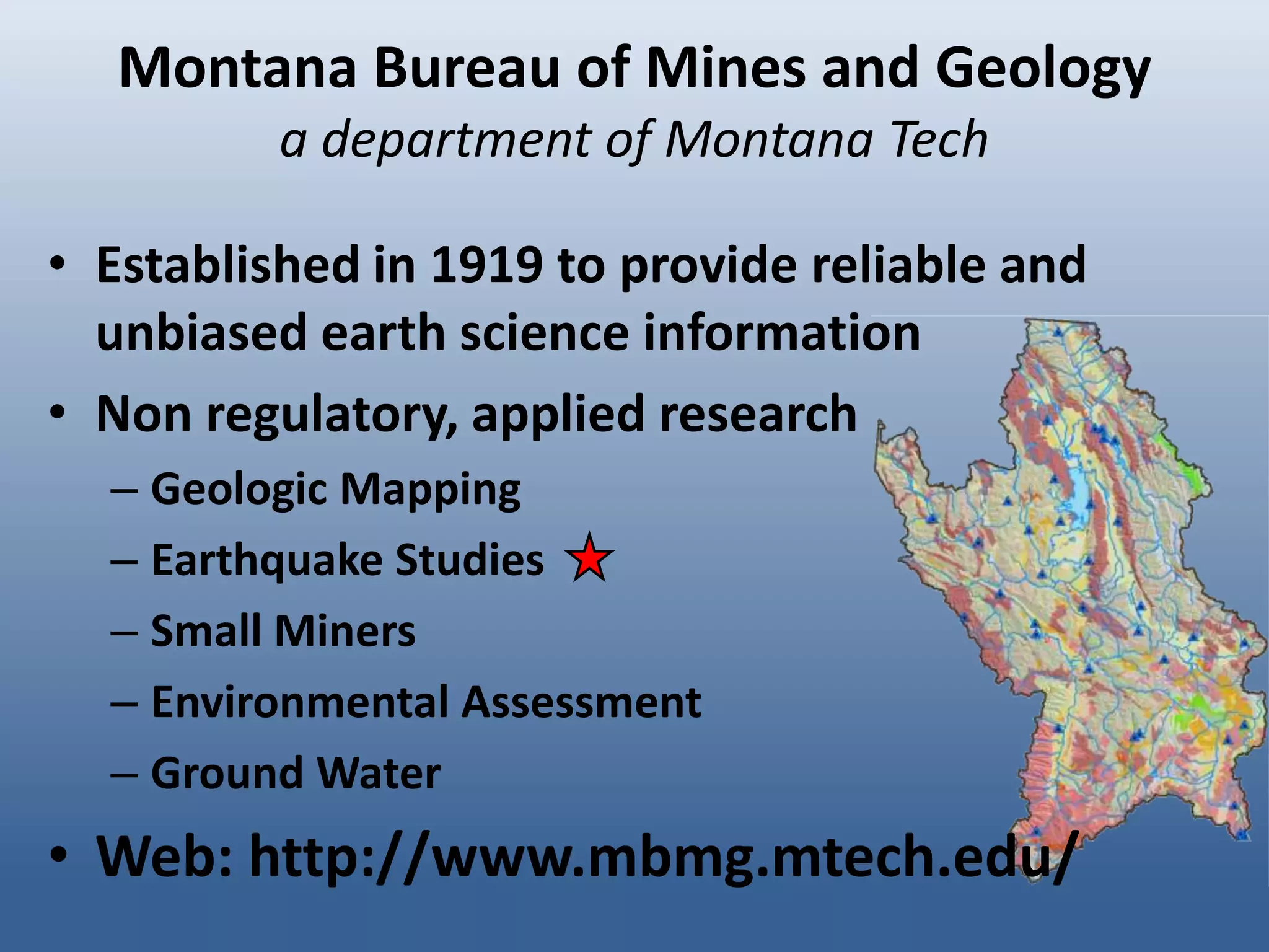
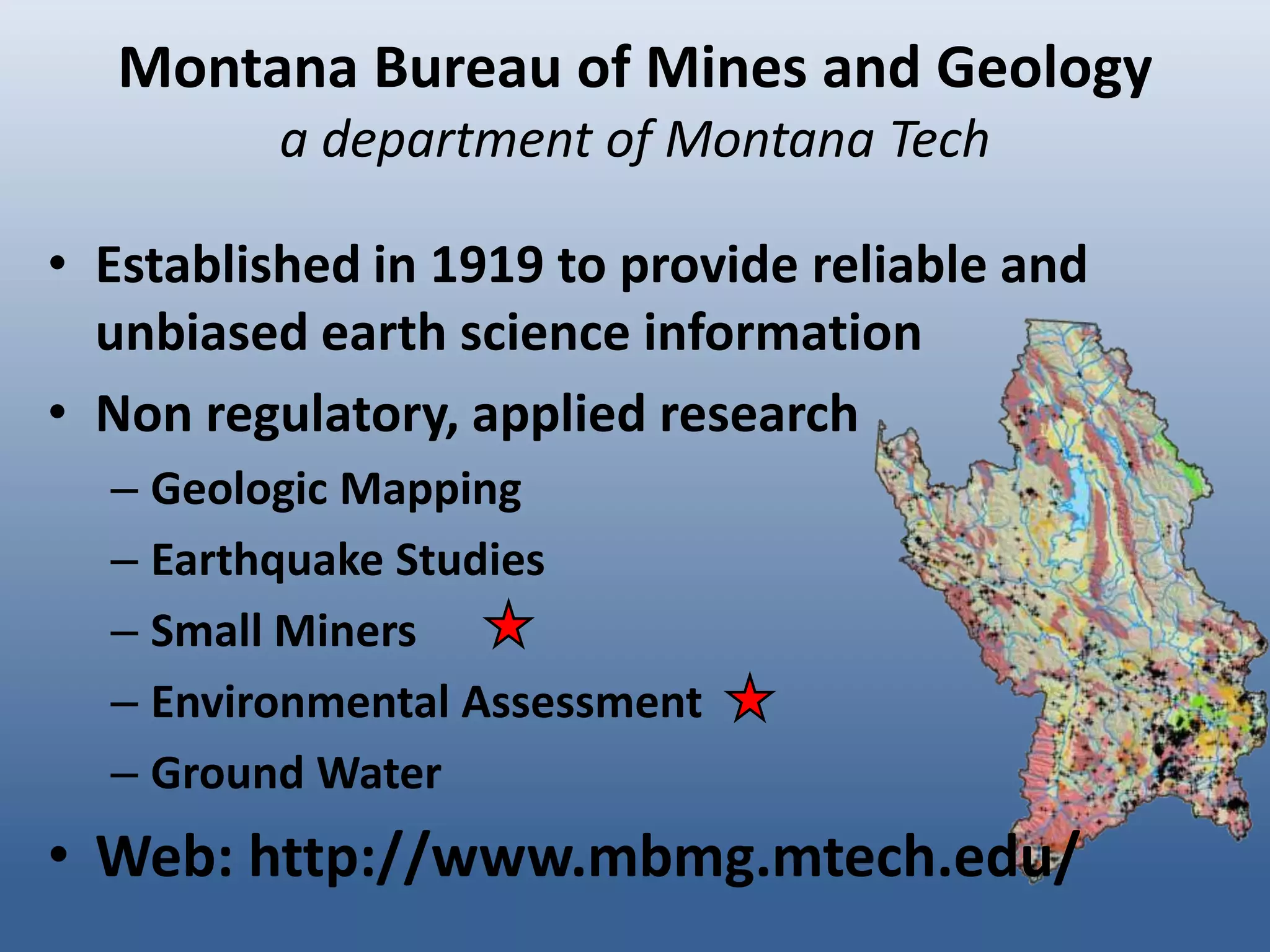
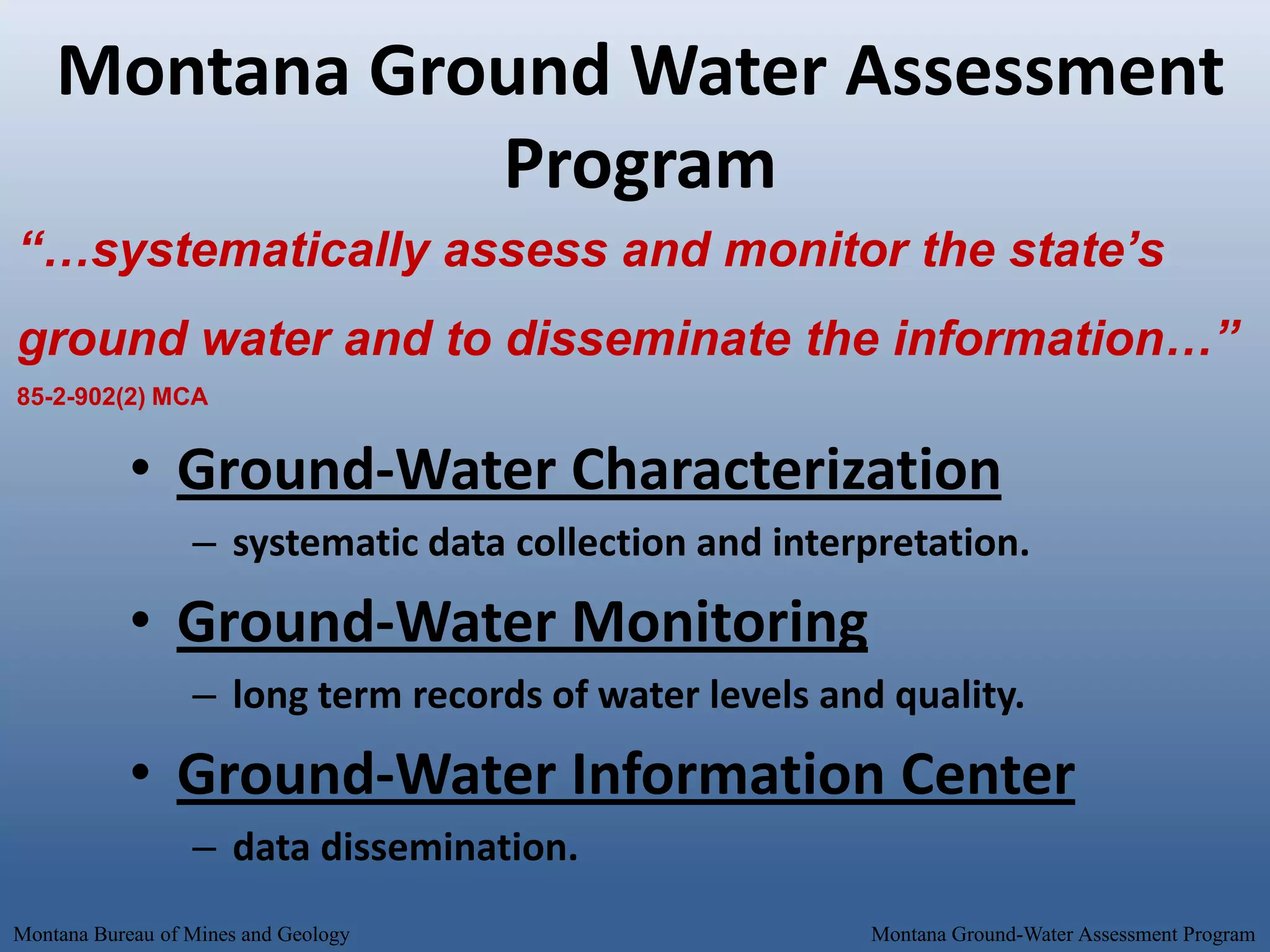
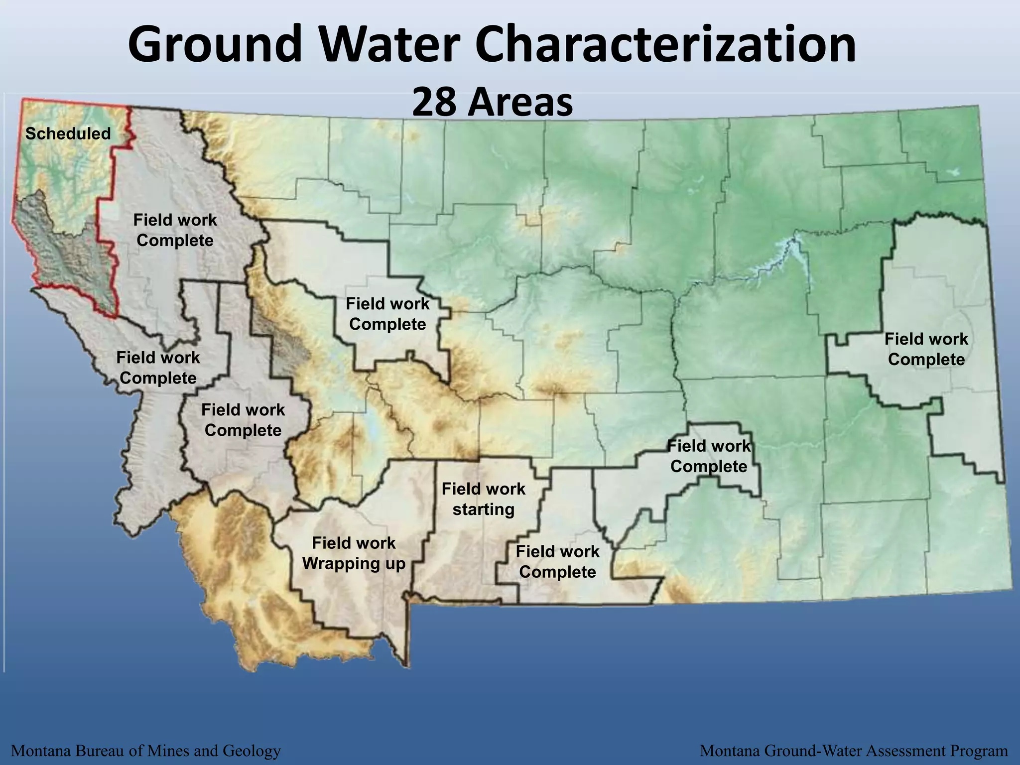
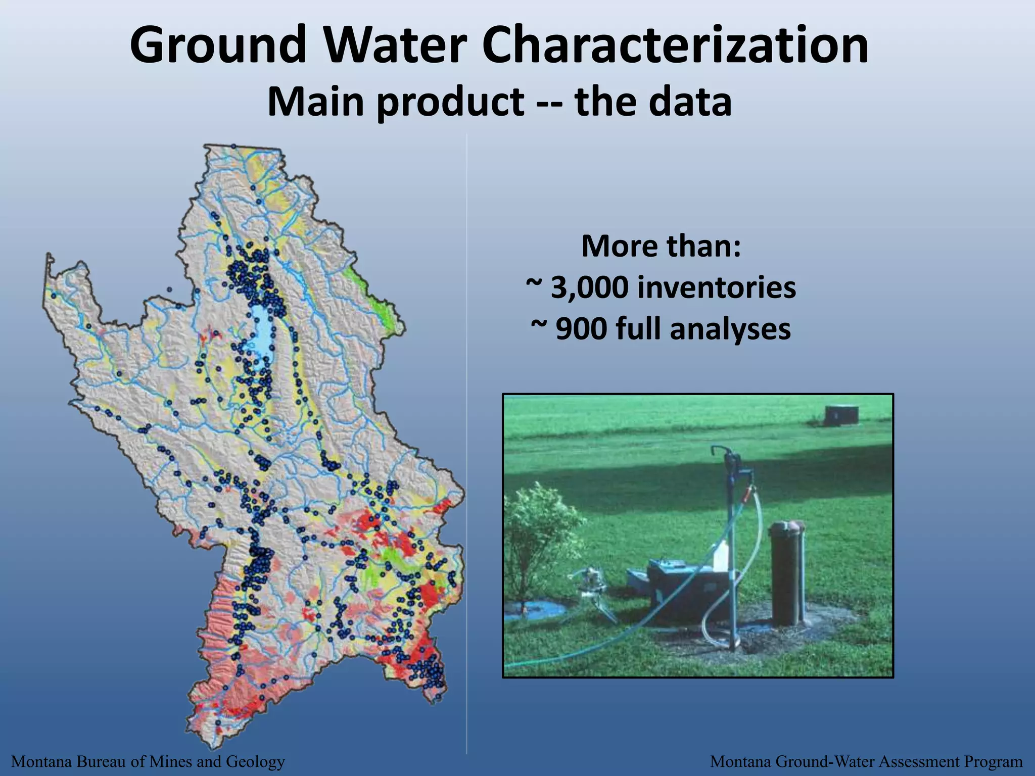
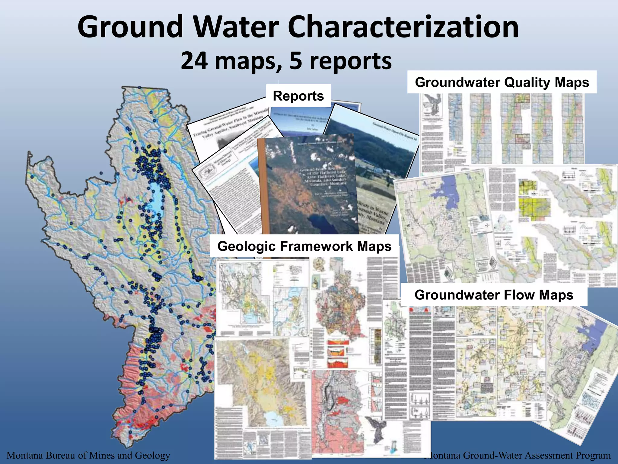
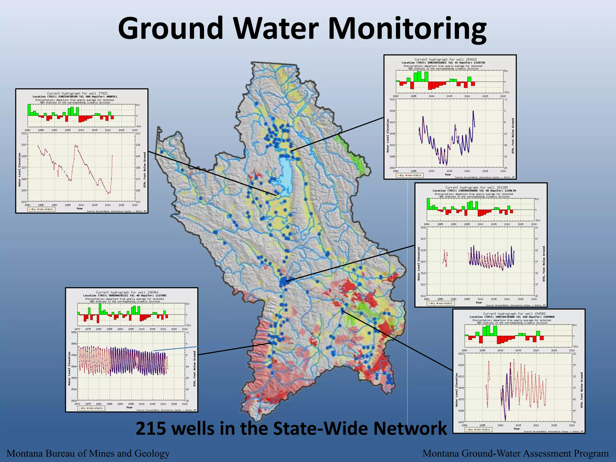
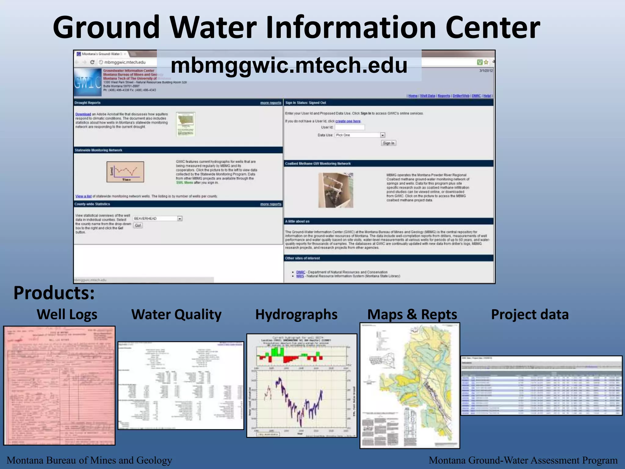
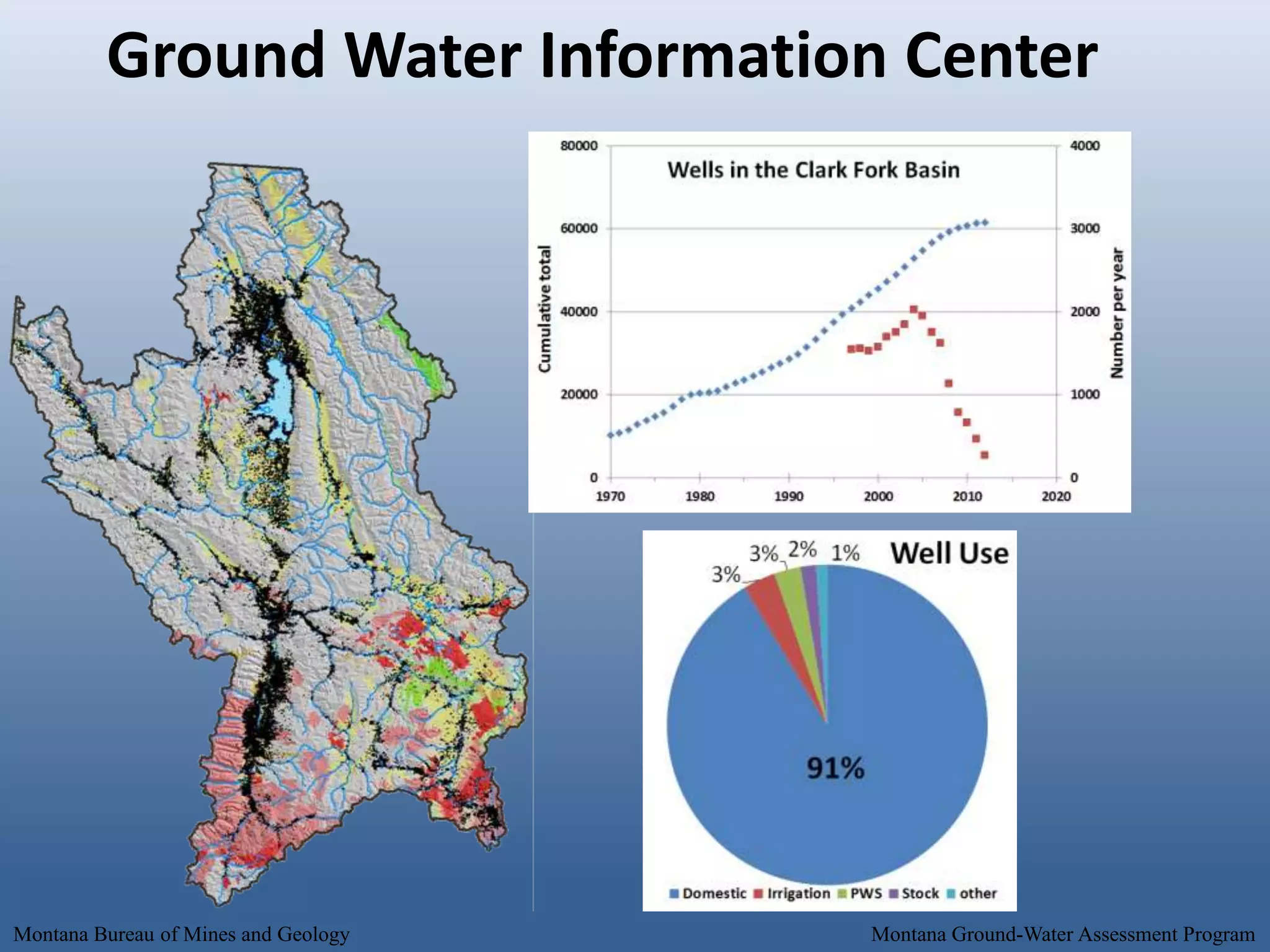


The document outlines the groundwater assessment and investigation programs conducted by the Montana Bureau of Mines and Geology, which provide essential data and information for water management in the state. It highlights systematic data collection, monitoring of groundwater quality, and various field studies aimed at understanding groundwater resources. The programs include mapping, long-term monitoring efforts, and addressing critical groundwater questions to aid in sustainable water use and policy-making.


