Download to read offline

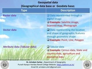
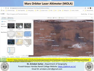
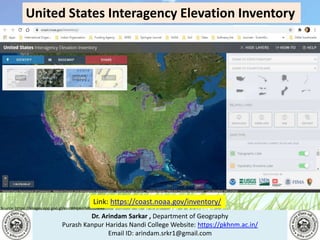
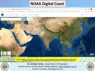
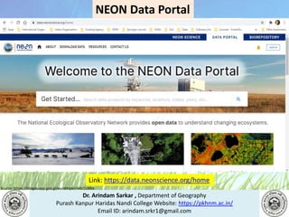
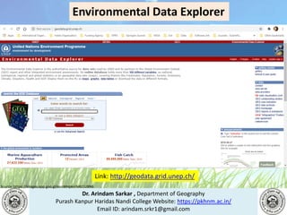
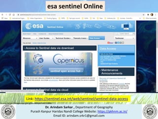
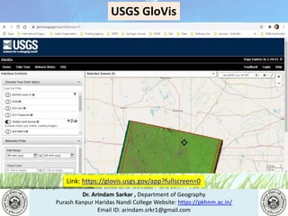
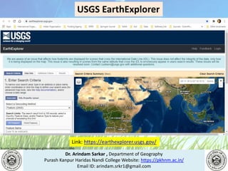
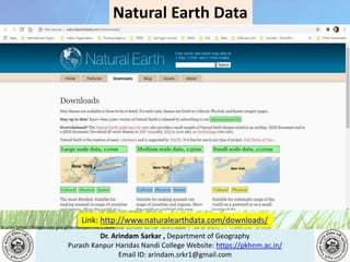
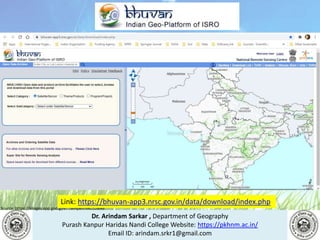
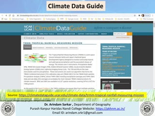
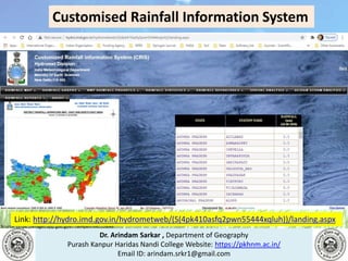
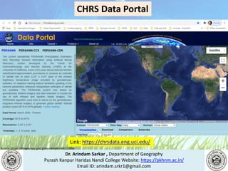
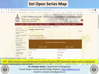
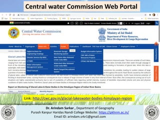
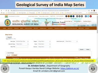
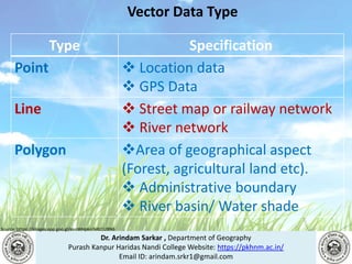
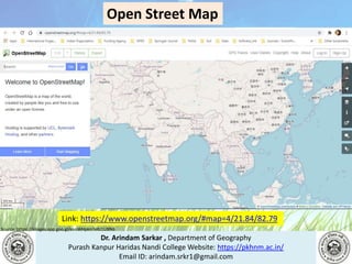
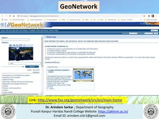


This document contains information from Dr. Arindam Sarkar of the Department of Geography at Purash Kanpur Haridas Nandi College. It provides an overview of geospatial data types including raster data (represented through digital images), vector data (representing location and shape through geometric shapes), and attribute data. It also lists several sources for accessing geospatial data online, such as the USGS Earth Explorer, Copernicus Open Access Hub, and Bhuvan Indian Geo-Platform of ISRO.


