2012年4月14日(金)FOSS4Gツール勉強会@名古屋 第2回勉強会
於 名古屋大学 環境総合館3F 講義室2
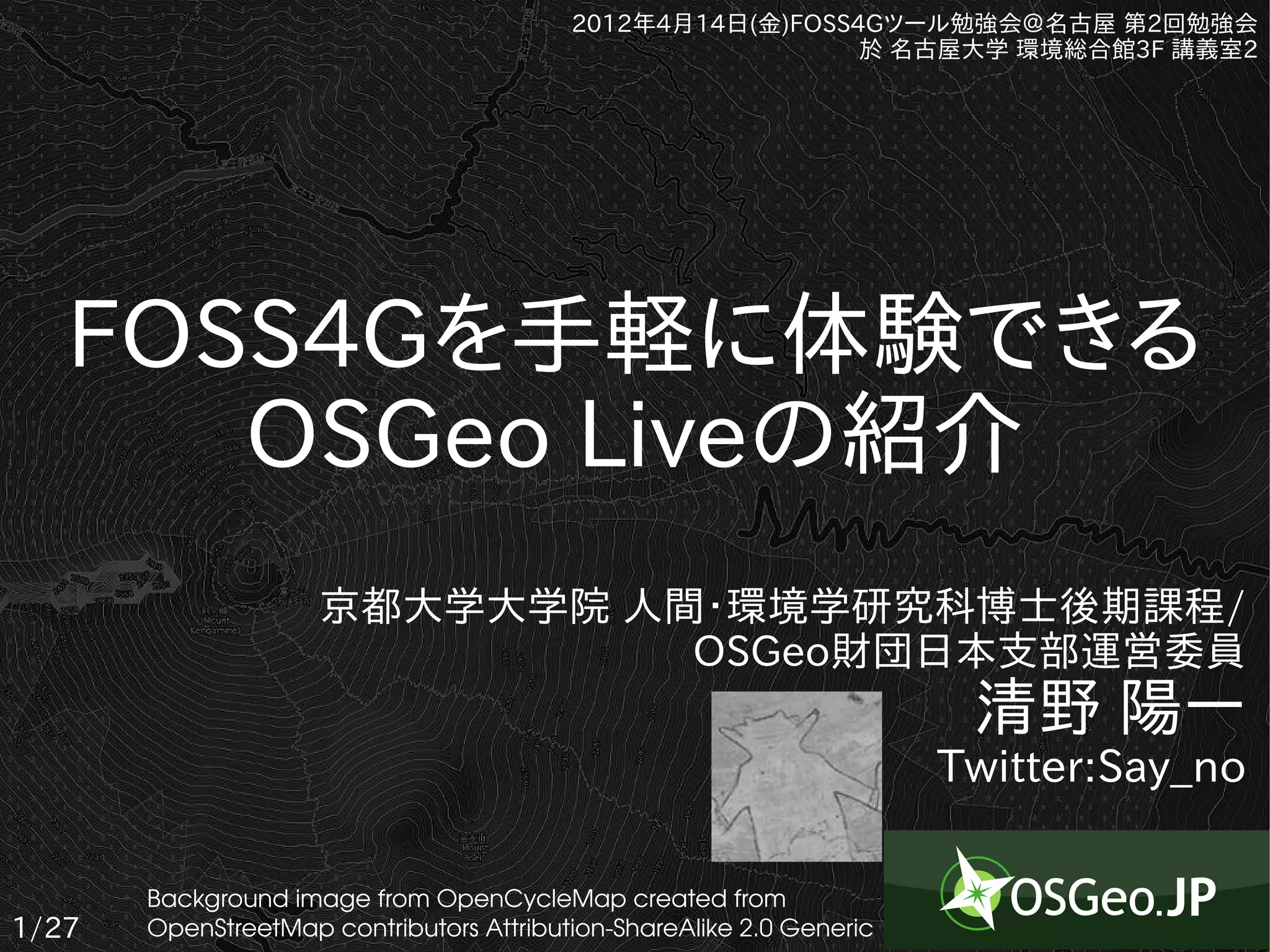
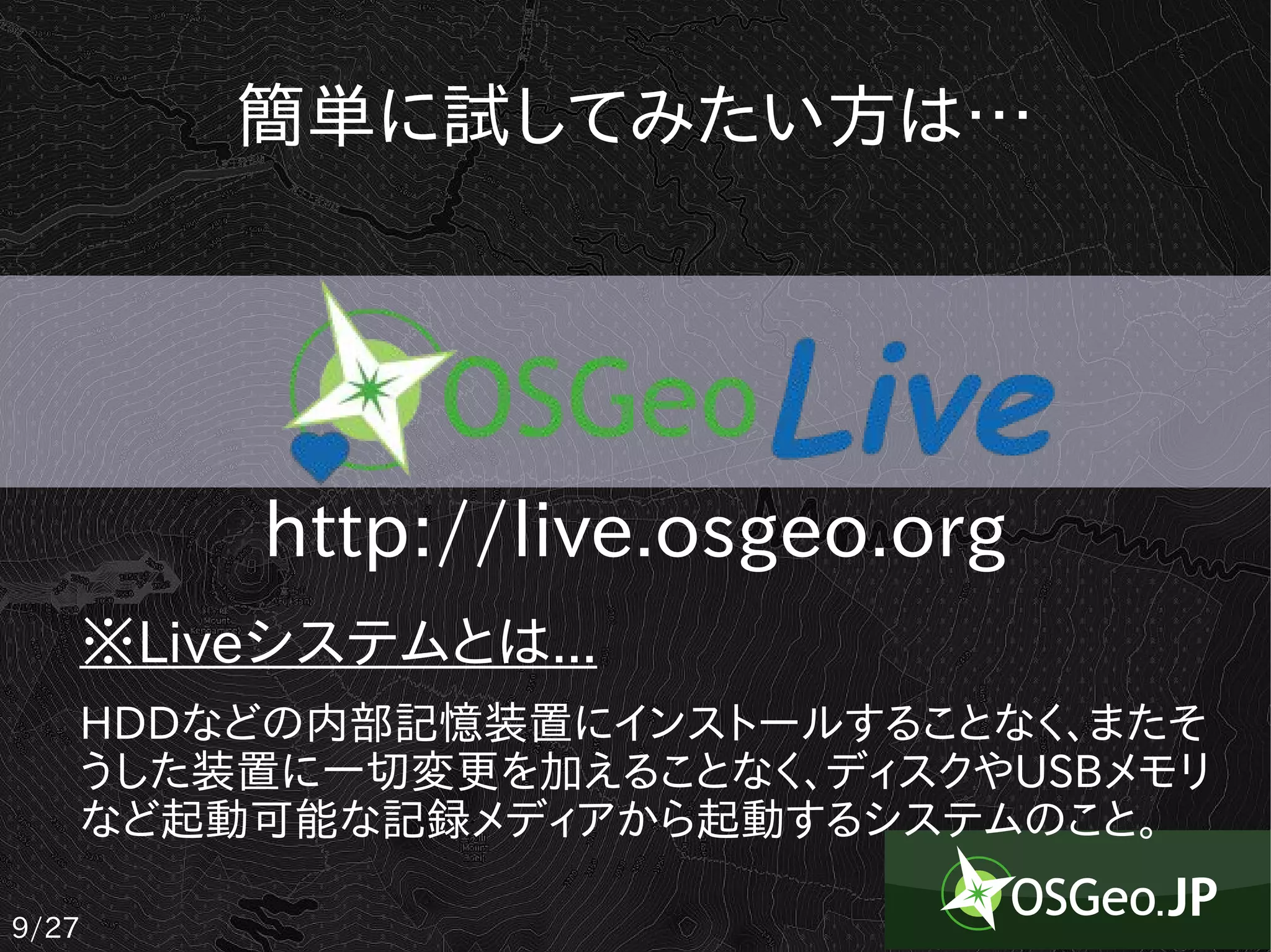
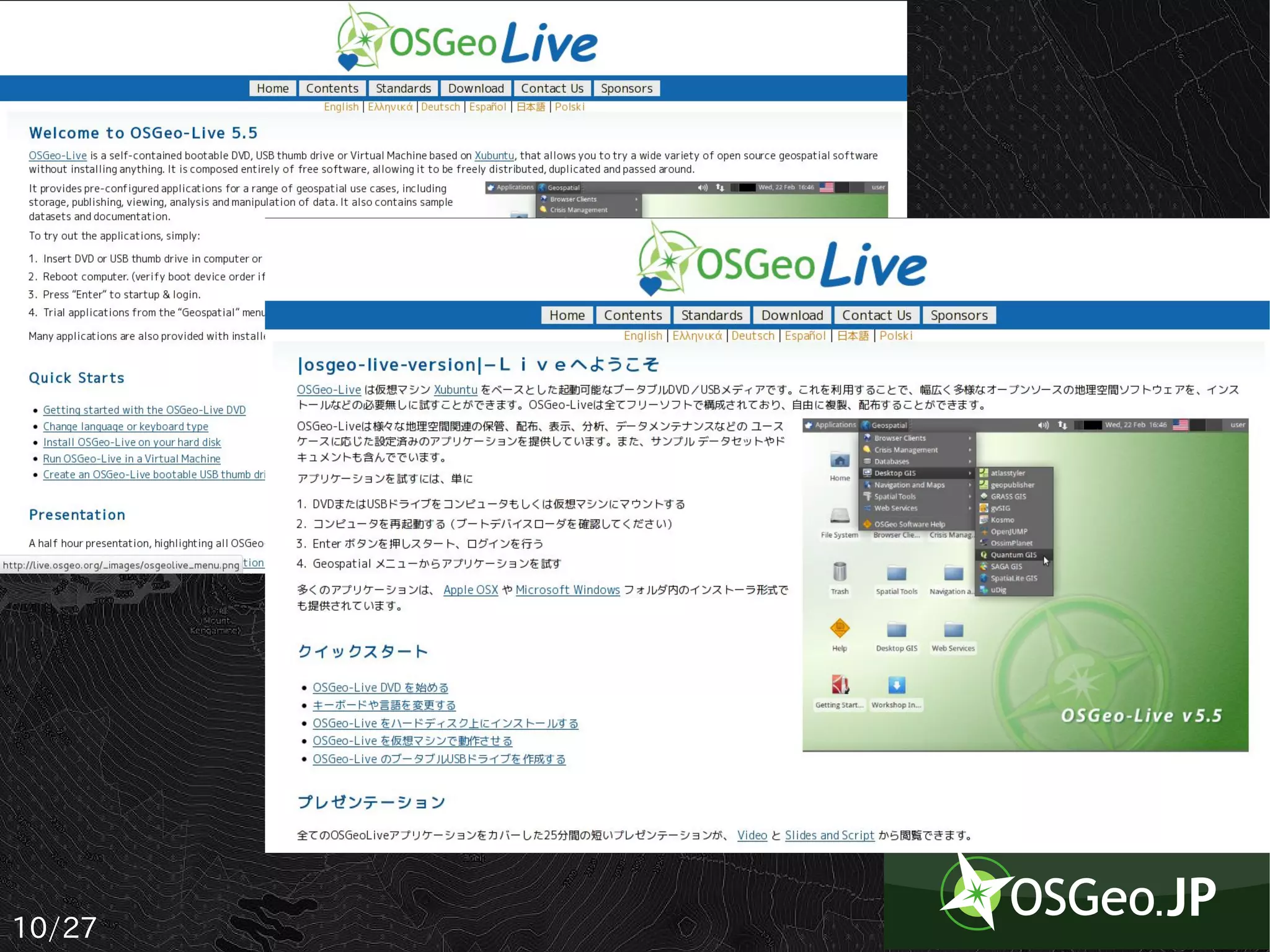
FOSS4Gを手軽に体験できる
OSGeo Liveの紹介
京都大学大学院 人間・環境学研究科博士後期課程/
OSGeo財団日本支部運営委員
清野 陽一
Twitter:Say_no
Background image from OpenCycleMap created from
1/27 OpenStreetMap contributors AttributionShareAlike 2.0 Generic
2.
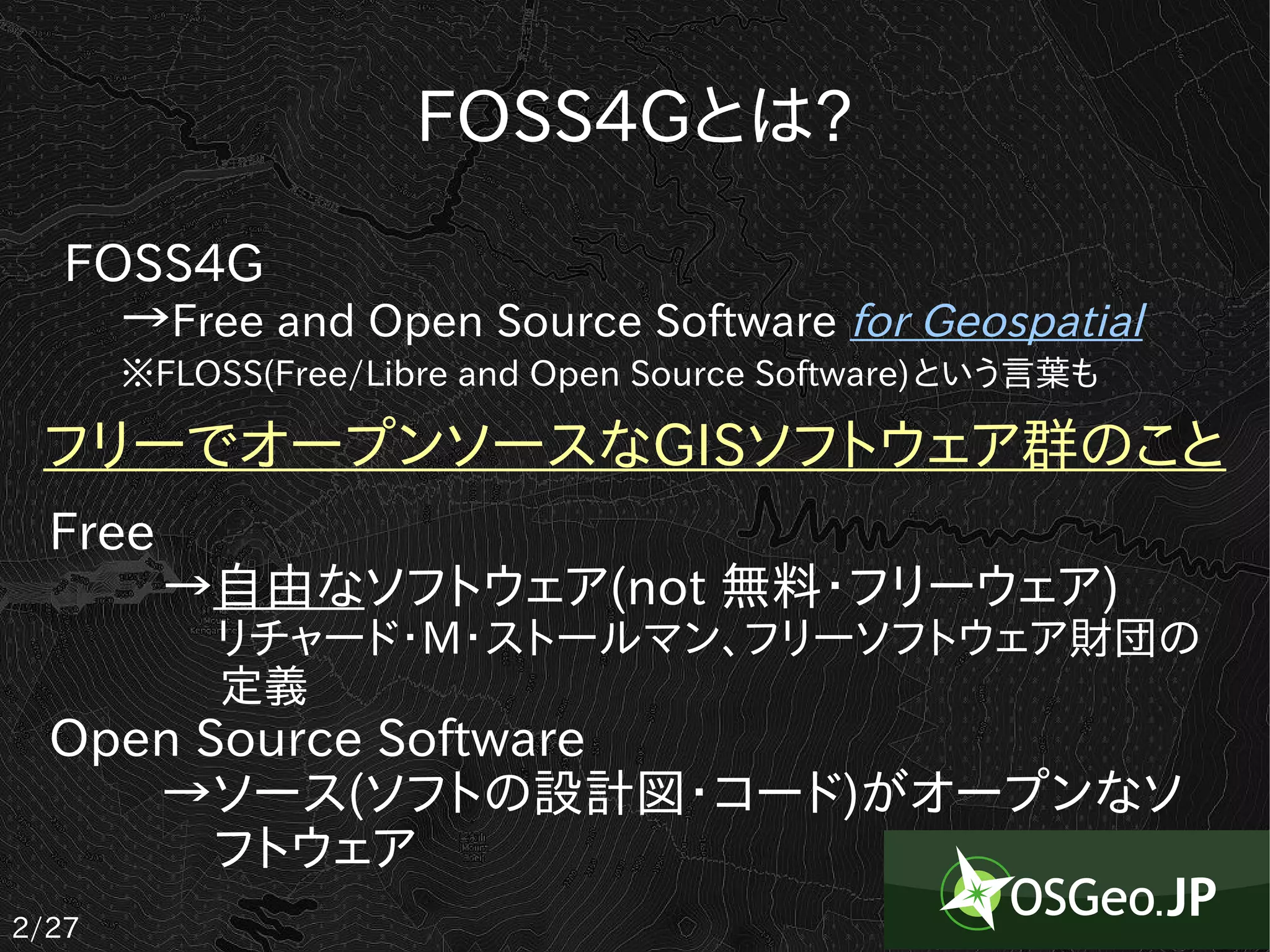
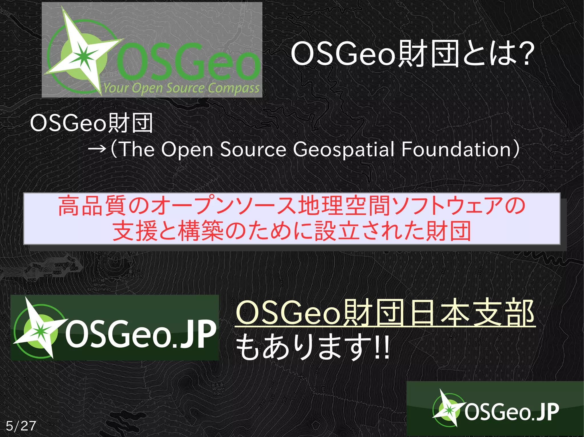
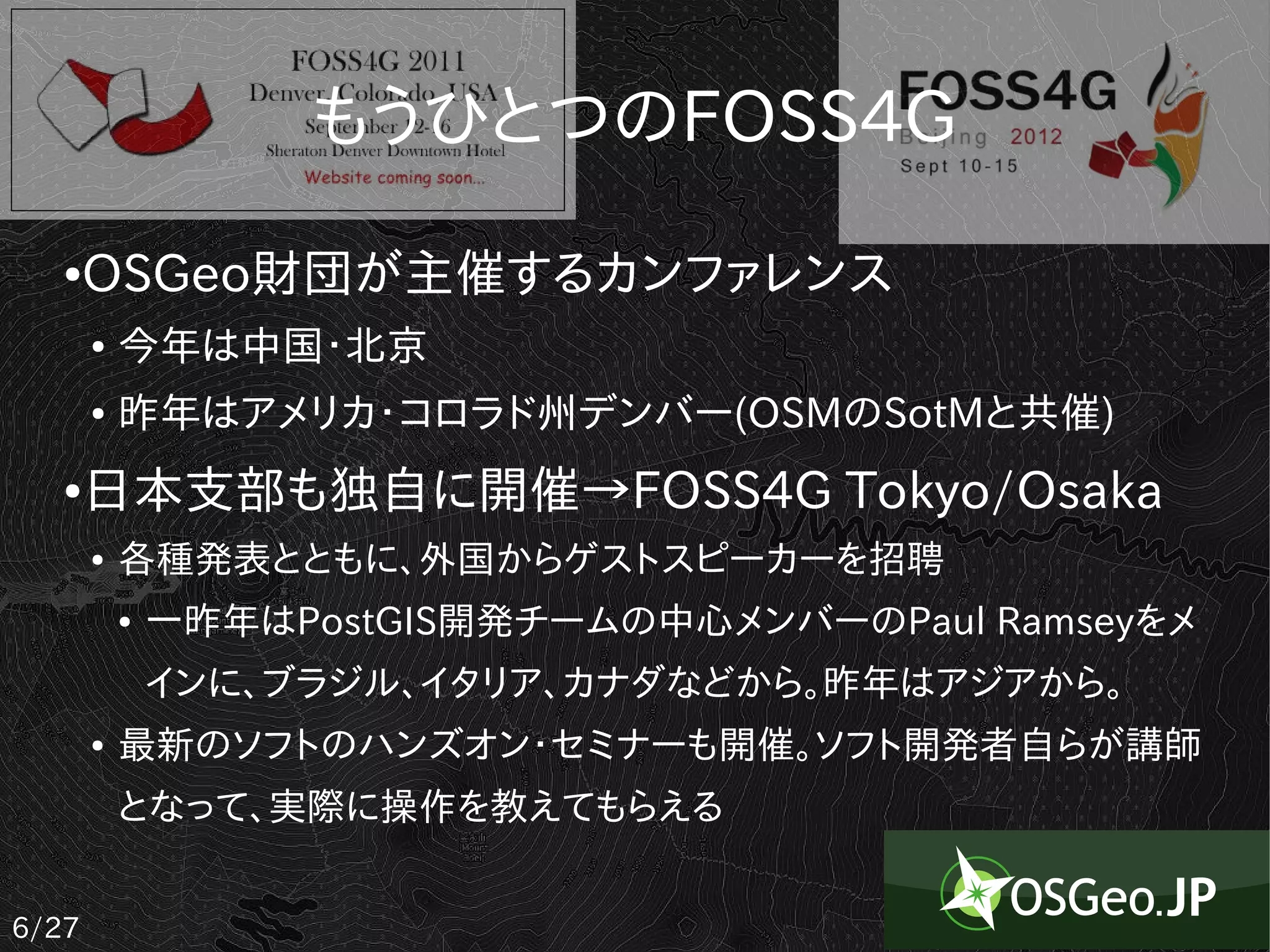
FOSS4Gとは?
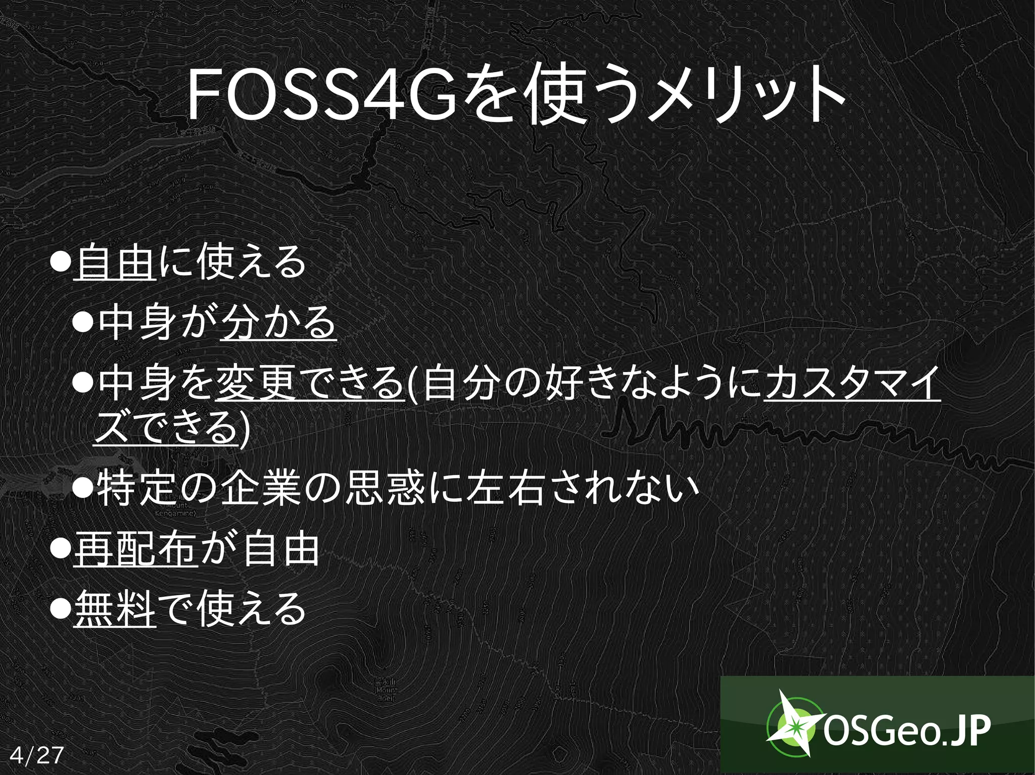
FOSS4G
→Free and Open Source Software for Geospatial
※FLOSS(Free/Libre and Open Source Software)という言葉も
フリーでオープンソースなGISソフトウェア群のこと
Free
→自由なソフトウェア(not 無料・フリーウェア)
リチャード・M・ストールマン、フリーソフトウェア財団の
定義
Open Source Software
→ソース(ソフトの設計図・コード)がオープンなソ
フトウェア
2/27
3.
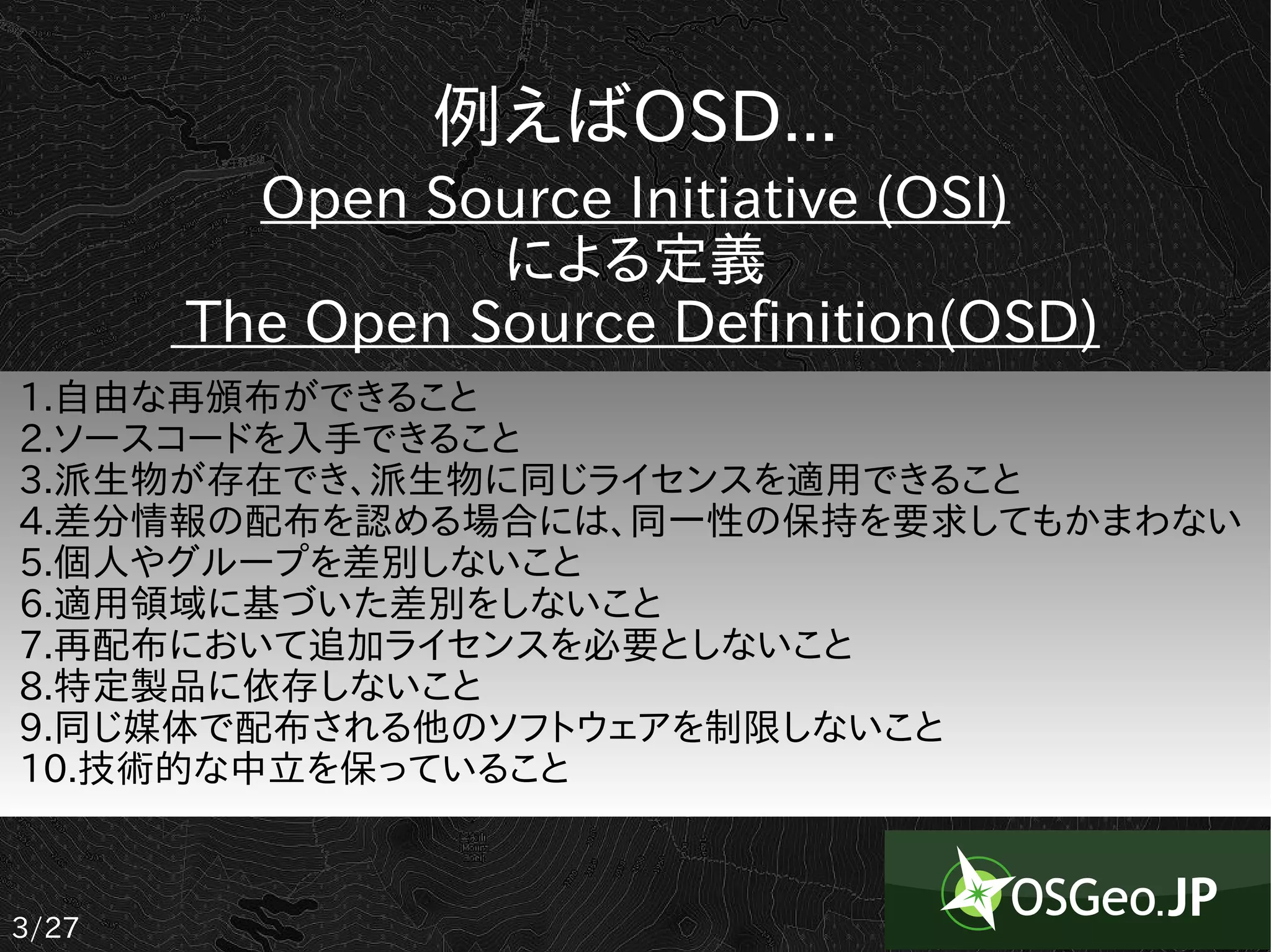
例えばOSD...
Open Source Initiative (OSI)
による定義
The Open Source Definition(OSD)
1.自由な再頒布ができること
2.ソースコードを入手できること
3.派生物が存在でき、派生物に同じライセンスを適用できること
4.差分情報の配布を認める場合には、同一性の保持を要求してもかまわない
5.個人やグループを差別しないこと
6.適用領域に基づいた差別をしないこと
7.再配布において追加ライセンスを必要としないこと
8.特定製品に依存しないこと
9.同じ媒体で配布される他のソフトウェアを制限しないこと
10.技術的な中立を保っていること
3/27
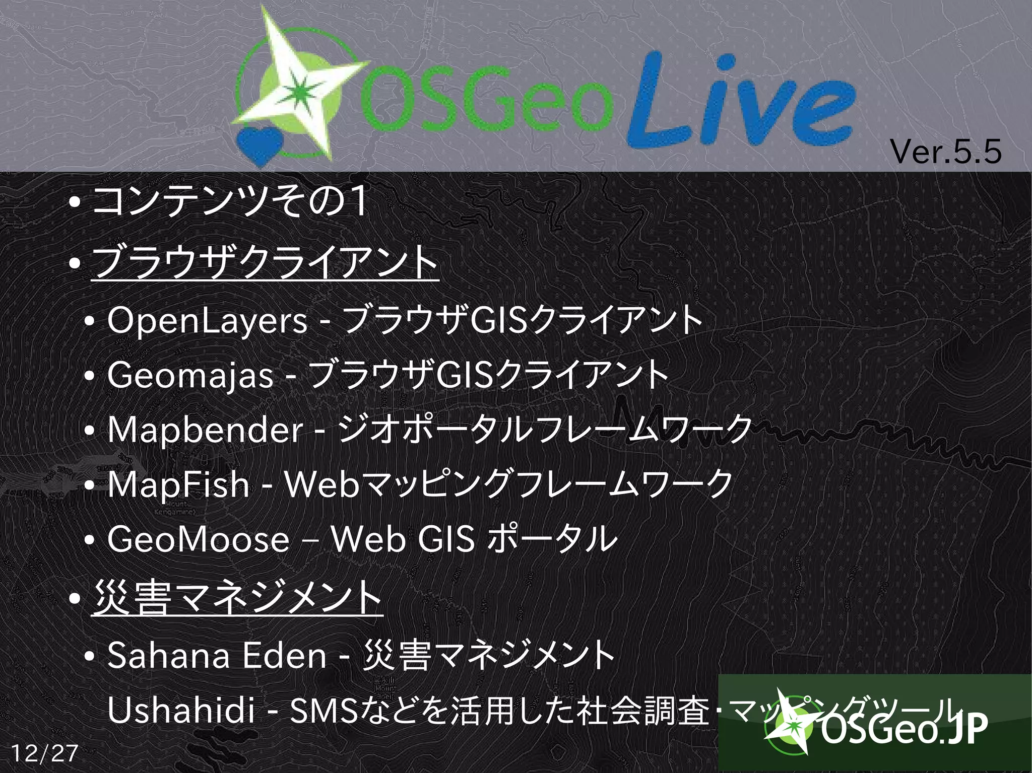
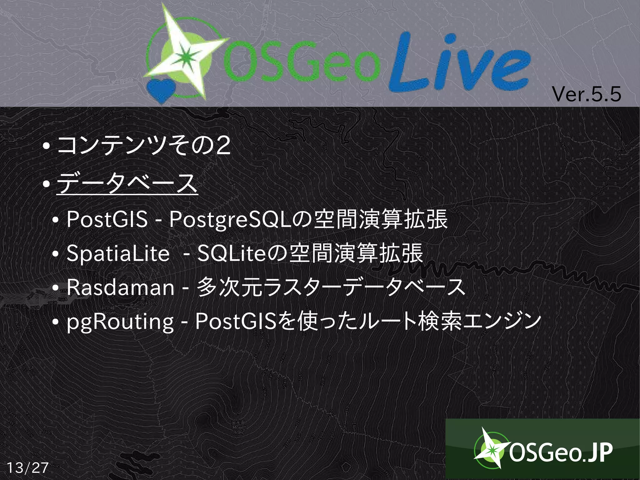
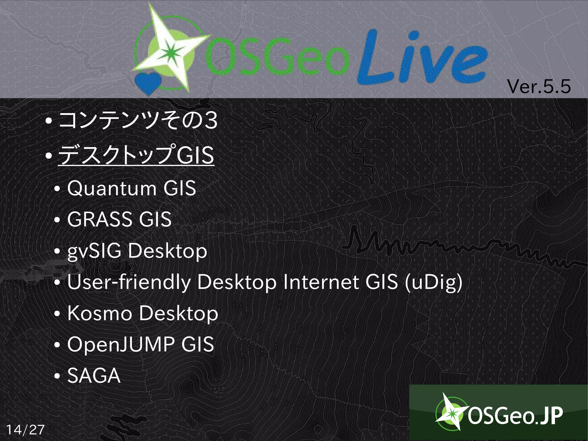
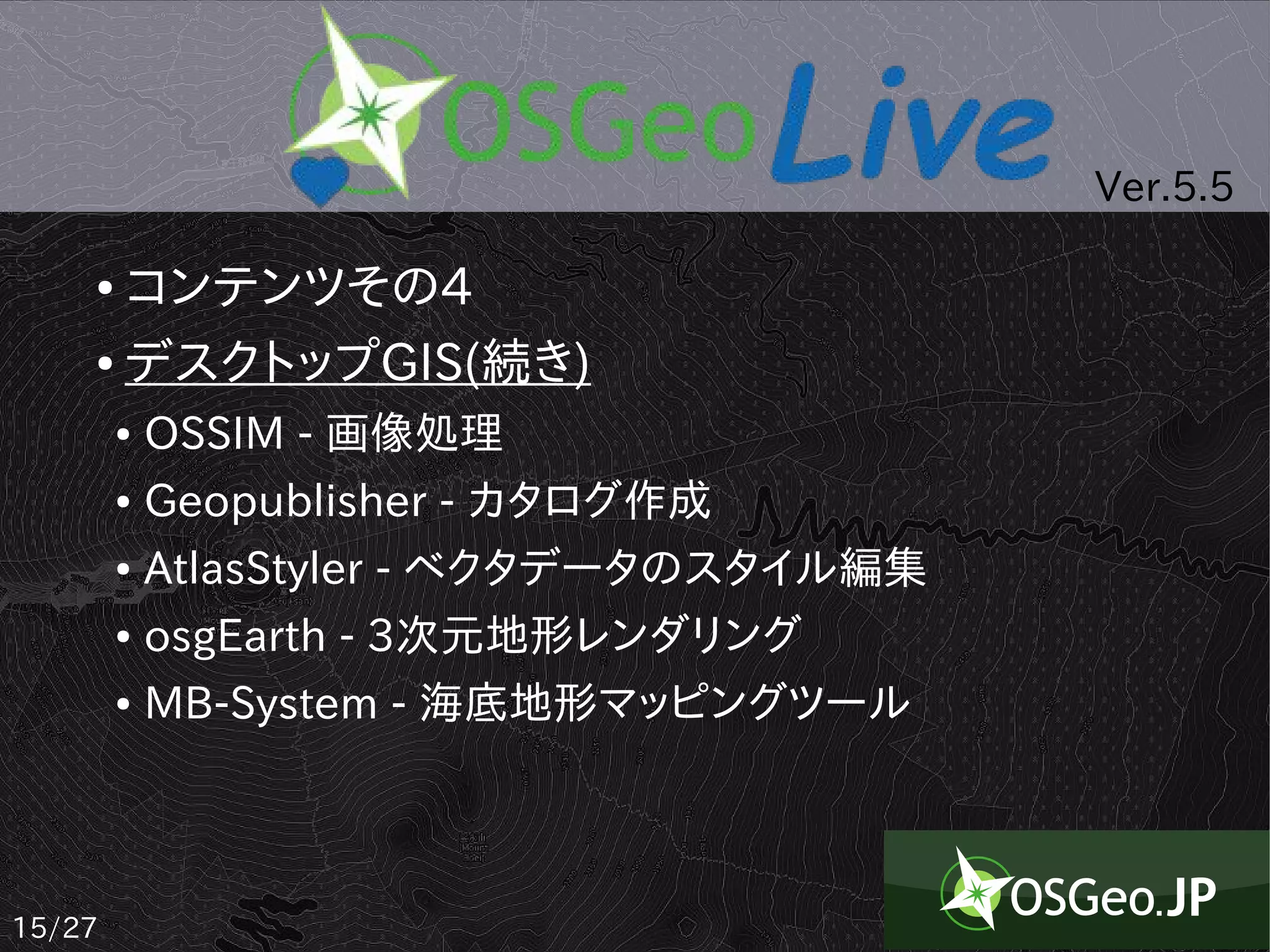
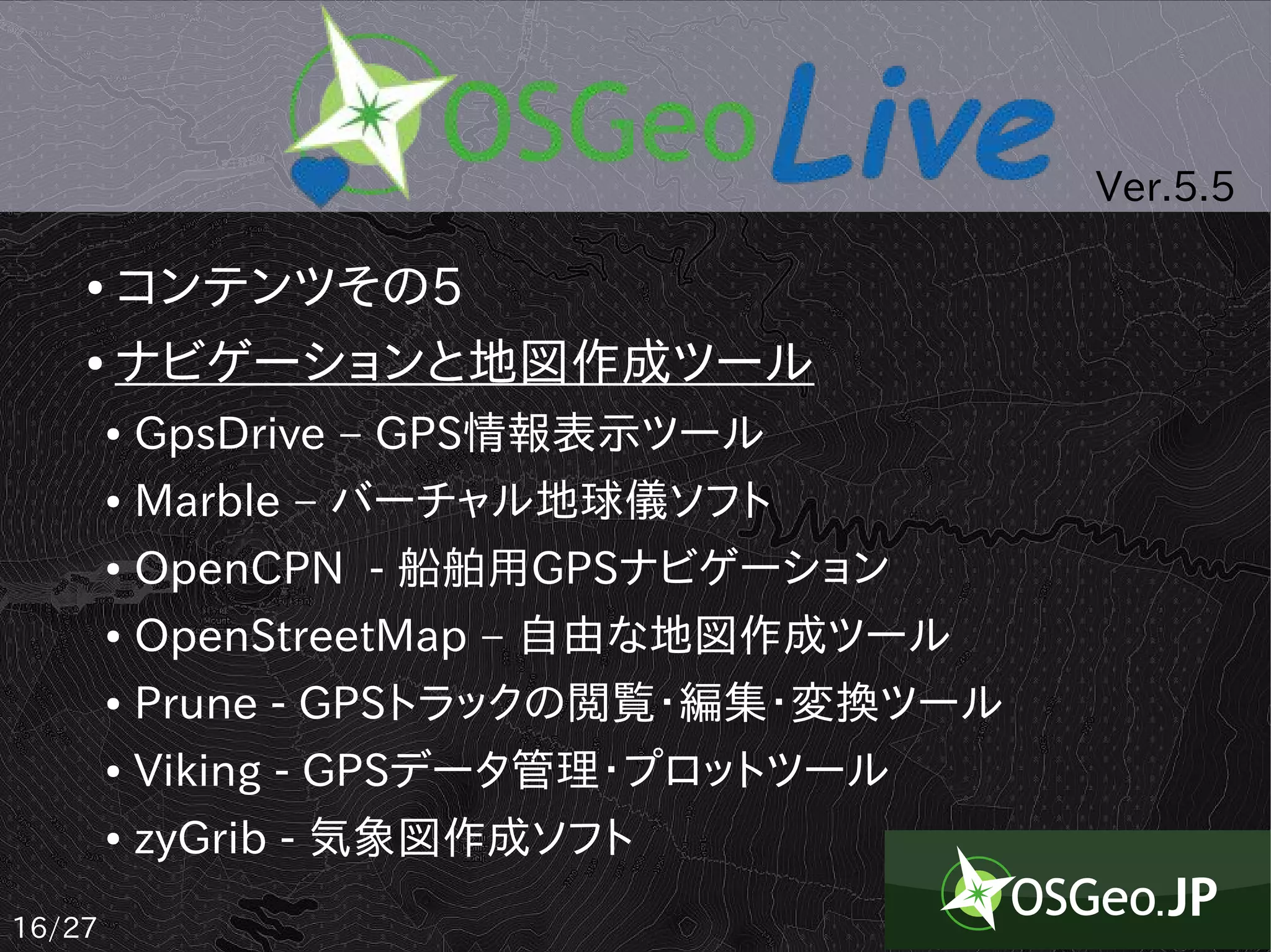
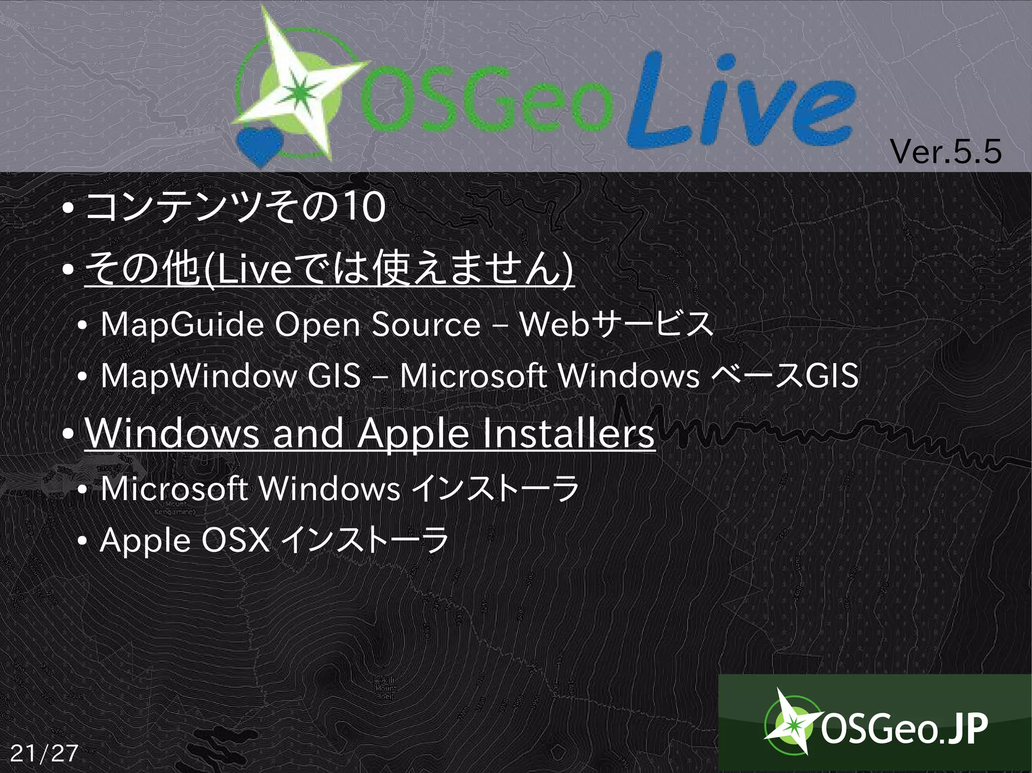
Ver.5.5
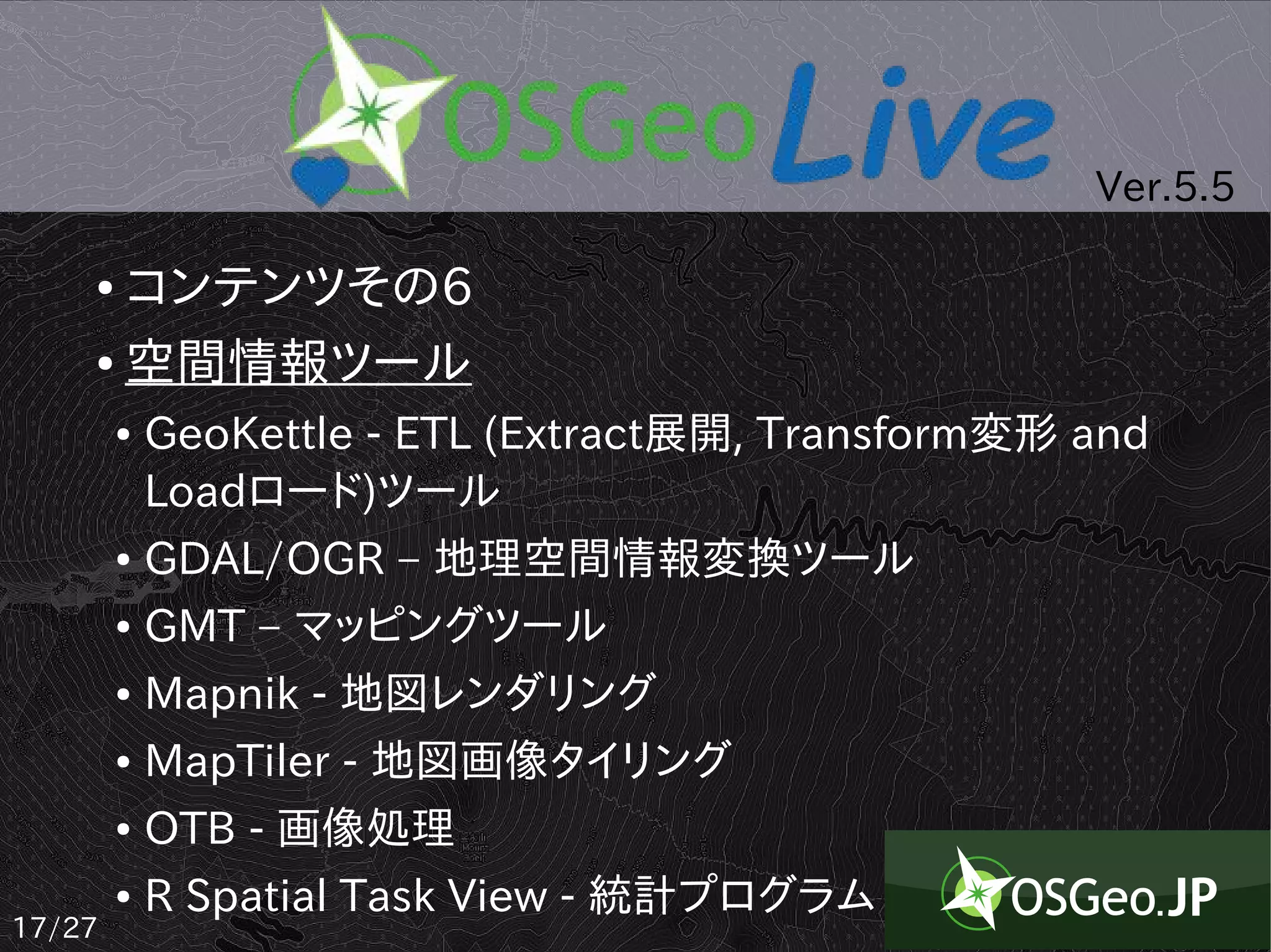
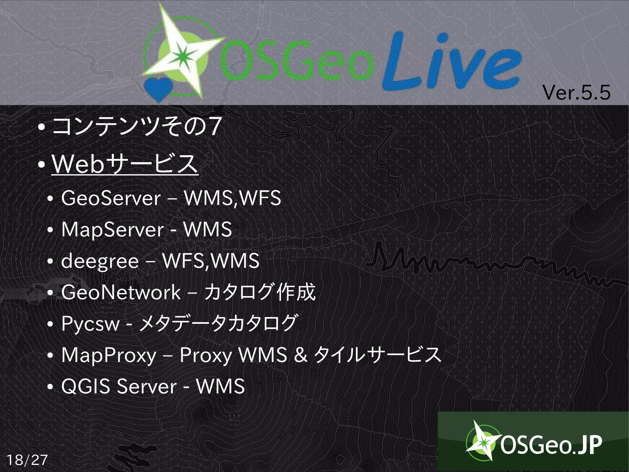
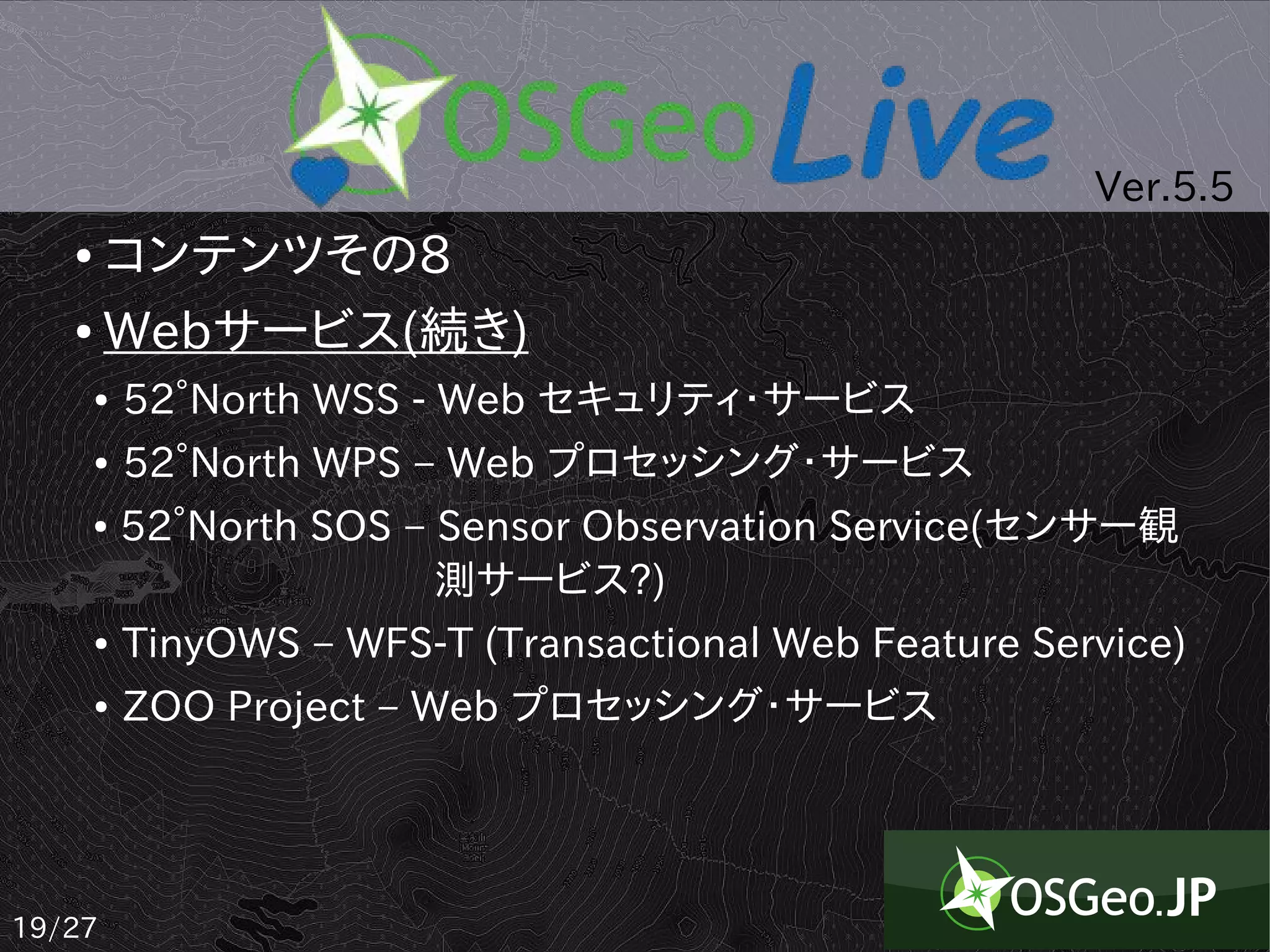
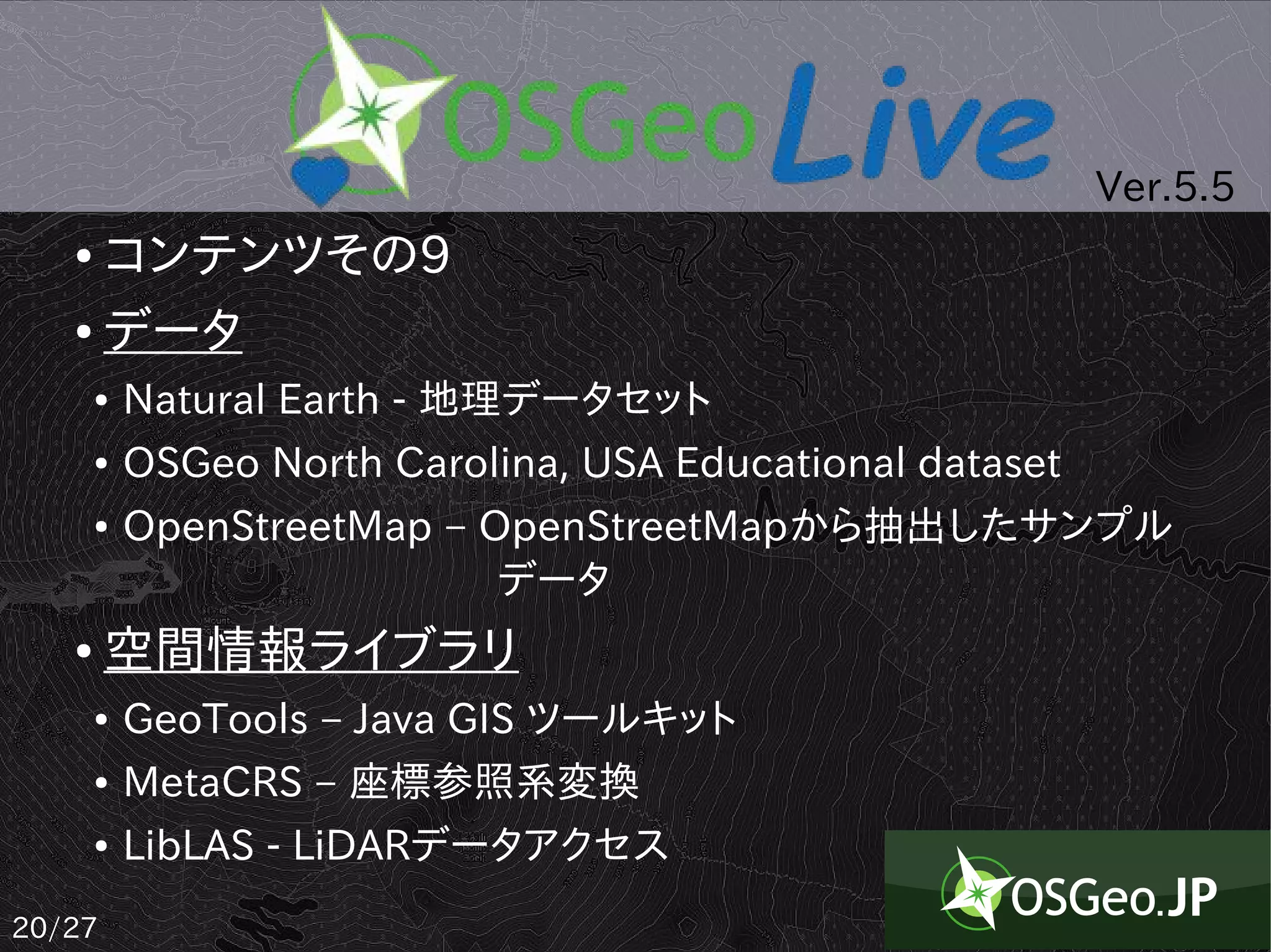
● コンテンツその10
● その他(Liveでは使えません)
● MapGuide Open Source – Webサービス
● MapWindow GIS – Microsoft Windows ベースGIS
● Windows and Apple Installers
● Microsoft Windows インストーラ
● Apple OSX インストーラ
21/27