Download as PDF, PPTX


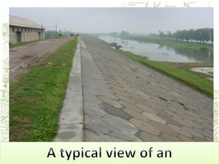


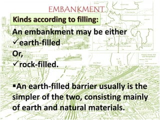


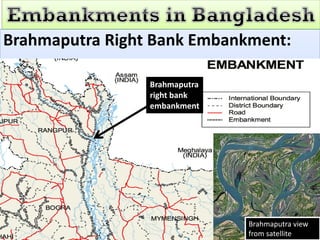


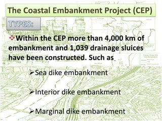
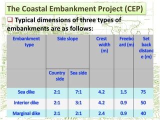


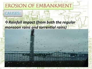


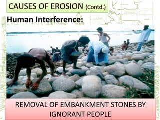
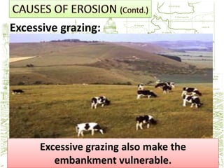


An embankment is an artificial barrier used to hold back water or support infrastructure like roads. They are typically long ridges made of earth, stones, and rocks with sloping sides. The document discusses several notable embankments in Bangladesh used for flood control and irrigation, including the Brahmaputra Right Bank Embankment, Gumti River Embankment, and Khowai River Embankment. It also describes the Coastal Embankment Project which constructed over 4,000 km of embankments and drainage structures along the Bangladesh coastline to control floods and prevent saltwater intrusion. Erosion is a major hazard for embankments due to factors like rainfall, waves, river currents, and human


