Download as PDF, PPTX


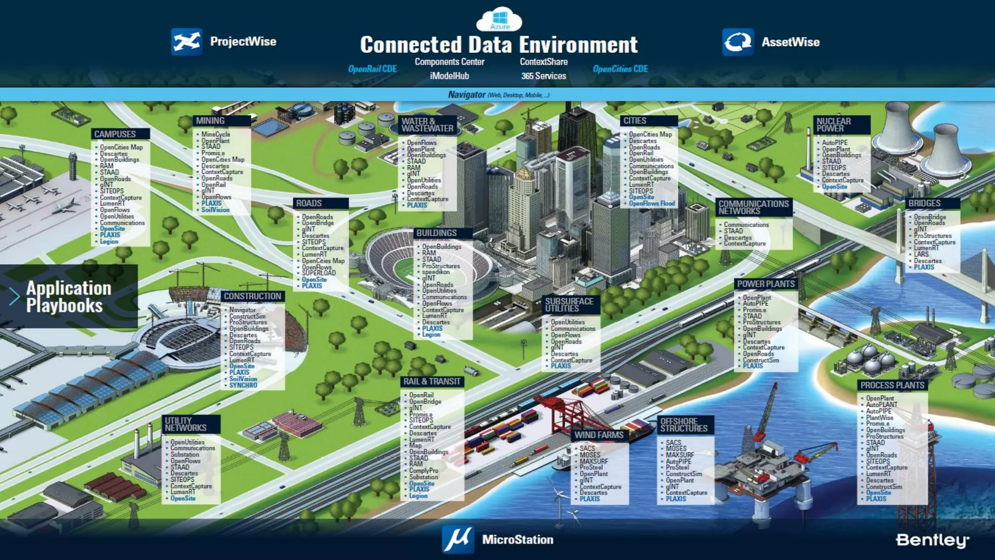


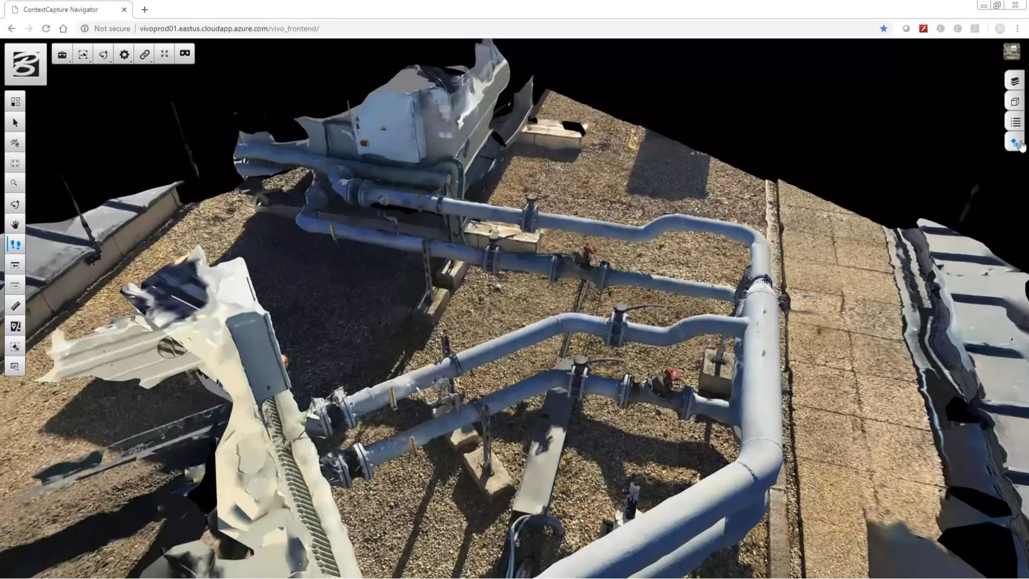
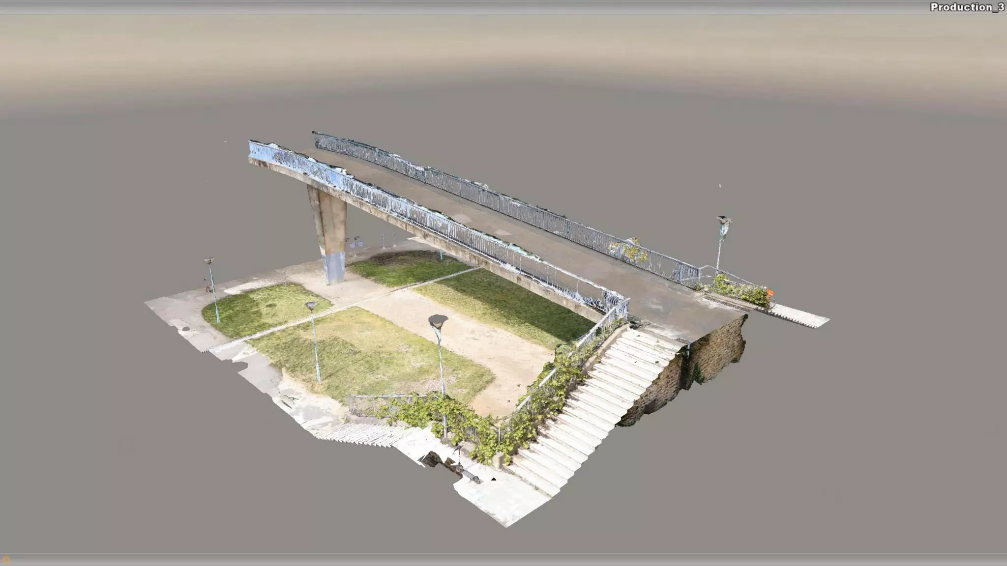


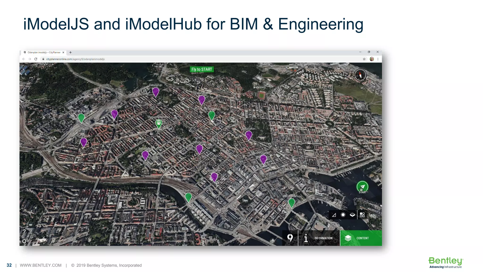

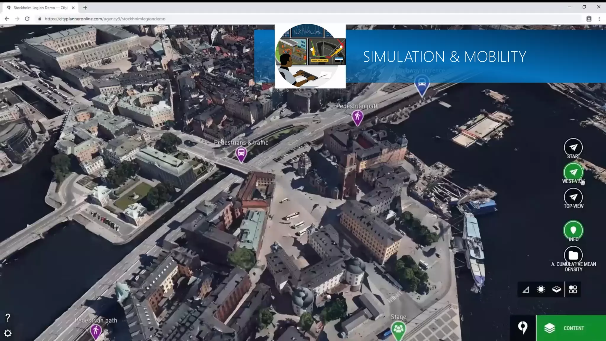


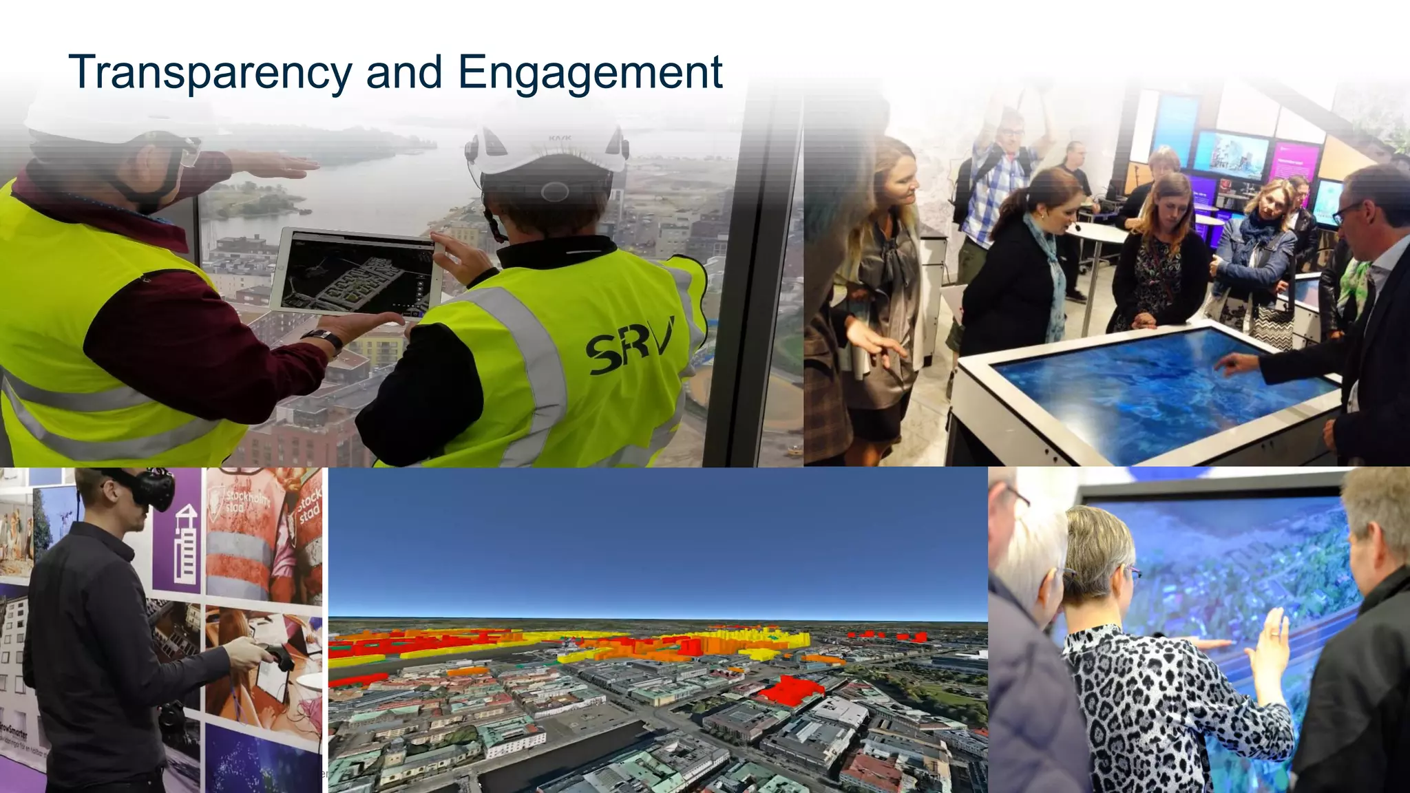


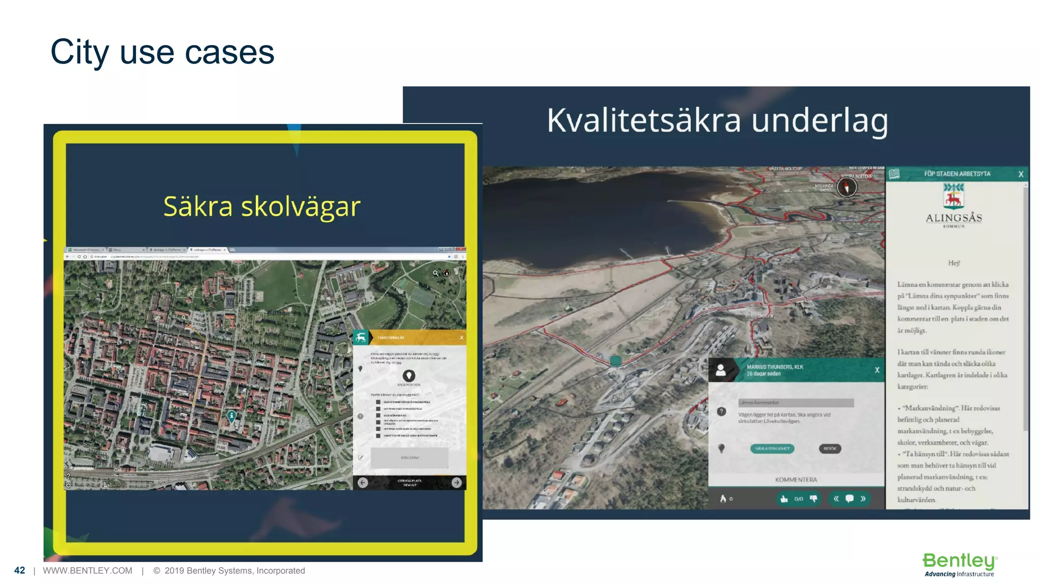
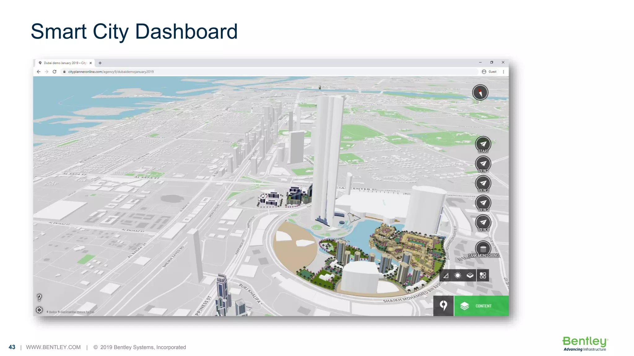


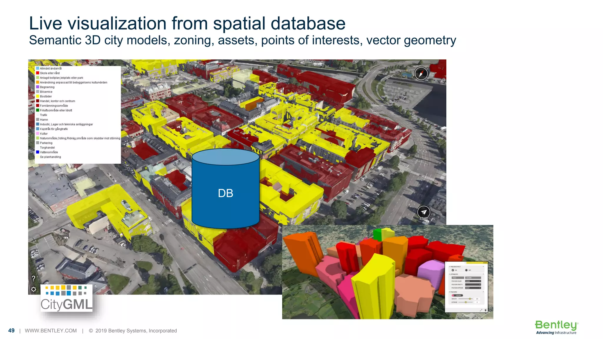


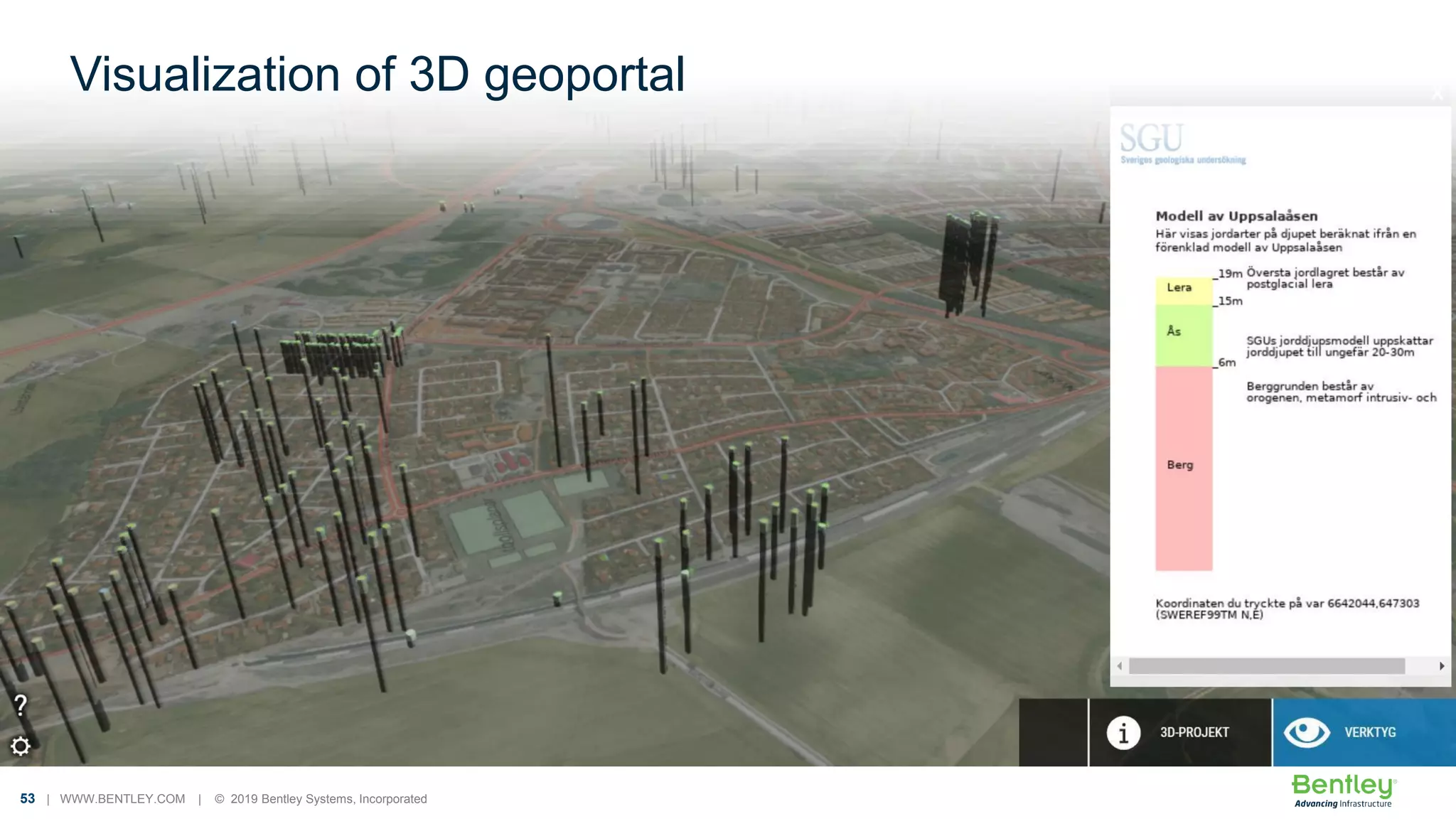
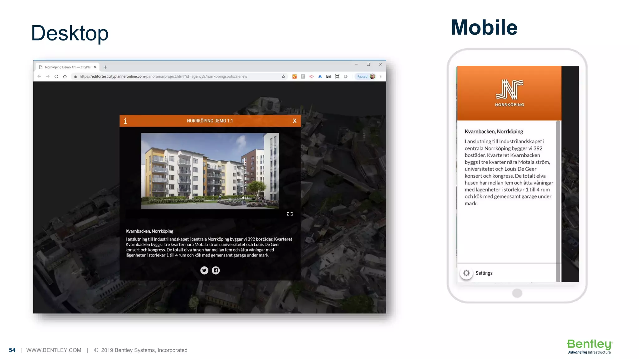


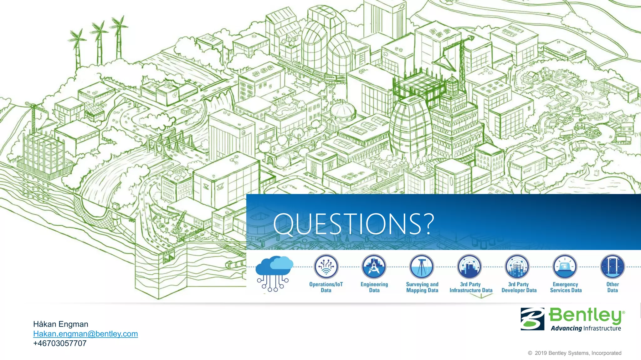

The document outlines Bentley Systems' mission to provide innovative software and services for digital cities, emphasizing sustainable infrastructure, efficient resource use, and improved citizen services. It discusses the role of digital twins and advanced technologies like IoT and AI in managing and visualizing assets, enhancing operational efficiency, and supporting urban development. Additionally, it highlights the importance of communication, engagement, and data integration in achieving smart city goals.


![Coded Agents – with UiPath SDK + LangGraph [Virtual Hands-on Workshop]](https://cdn.slidesharecdn.com/ss_thumbnails/codedagentsdeck-251215155422-5497c599-thumbnail.jpg?width=640&height=640&fit=bounds)