Download to read offline

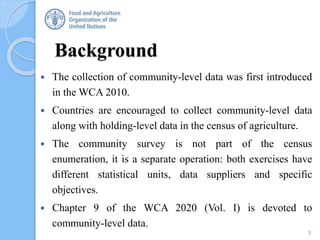
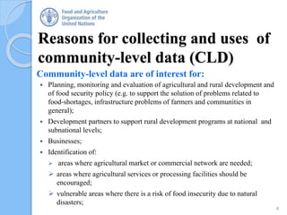
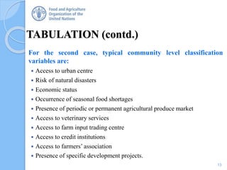
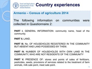
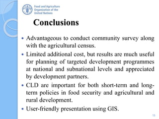


This document discusses community-level data collection for agricultural censuses. It recommends collecting key administrative data on communities to complement farm-level census data. Examples of community data include infrastructure, services, economic activities and weather conditions. Tabulating community data by classification variables allows analysis of farm data grouped by community characteristics. While optional, community surveys provide useful information for development planning with low additional costs. Country experiences show collecting data on land, households, services and development projects at the community level.


