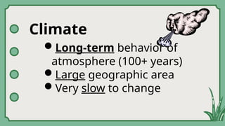
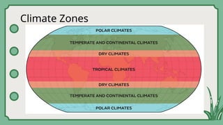
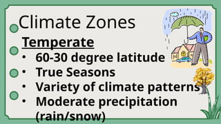
Climate Zones
Temperate
• 60-30degree latitude
• True Seasons
• Variety of climate patterns
• Moderate precipitation
(rain/snow)
14.
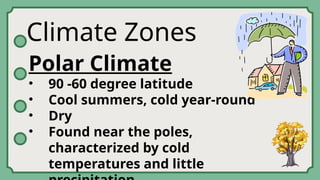
Climate Zones
Polar Climate
•90 -60 degree latitude
• Cool summers, cold year-round
• Dry
• Found near the poles,
characterized by cold
temperatures and little
Precipitation
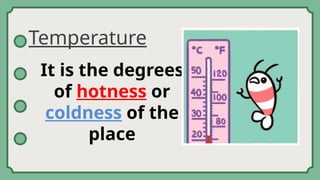
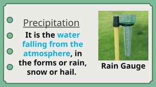
It is thewater
falling from the
atmosphere, in
the forms or rain,
snow or hail.
Rain Gauge
22.
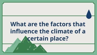
What are thefactors that
influence the climate of a
certain place?
23.
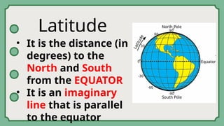
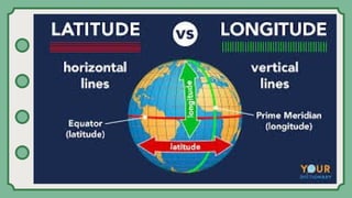
Latitude
• It isthe distance (in
degrees) to the
North and South
from the EQUATOR
• It is an imaginary
line that is parallel
to the equator
26.
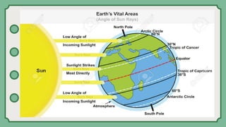
Why is itthat during summer many
people visit Baguio City?
27.
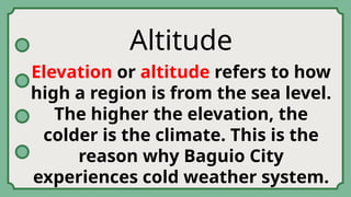
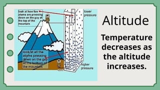
Altitude
Elevation or altituderefers to how
high a region is from the sea level.
The higher the elevation, the
colder is the climate. This is the
reason why Baguio City
experiences cold weather system.
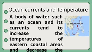
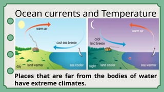
Ocean currents andTemperature
A body of water such
as an ocean and its
currents tend to
increase the
temperatures of
eastern coastal areas
and decrease the
30.
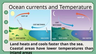
Ocean currents andTemperature
Land heats and cools faster than the sea.
Coastal areas have lower temperatures than
inland areas
31.
Ocean currents andTemperature
Places that are far from the bodies of water
have extreme climates.
32.
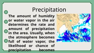
Precipitation
The amount ofhumidity
or water vapor in the air
determines the rate and
amount of precipitation
in the area. Usually, when
the atmosphere becomes
full of water vapor, the
likelihood or chance of
precipitation becomes
33.
Air Masses
Air massesare large areas
of air that have uniform
temperature and
moisture content. They
form over “source”
regions. The air mass
assumes the properties of
the surface of the source
region; that is, it could be
34.
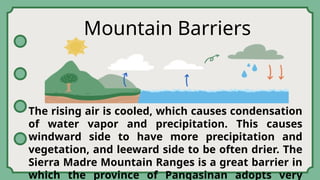
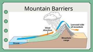
Mountain Barriers
The risingair is cooled, which causes condensation
of water vapor and precipitation. This causes
windward side to have more precipitation and
vegetation, and leeward side to be often drier. The
Sierra Madre Mountain Ranges is a great barrier in
which the province of Pangasinan adopts very


![Polymer [ बहुलक ] Chemistry Notes PDF - Irfanullah Mehar - JJ Sir Chemistry.pdf](https://cdn.slidesharecdn.com/ss_thumbnails/polymerchemistrynotespdf-irfanullahmehar-jjsirchemistry-260210172118-3f9b37f7-thumbnail.jpg?width=640&height=640&fit=bounds)


