Download to read offline
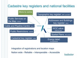


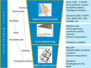
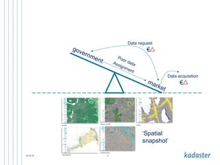

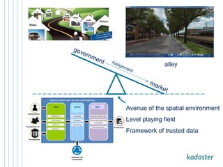
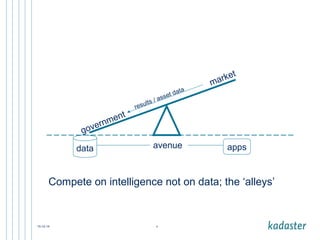
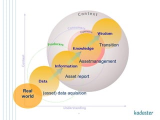
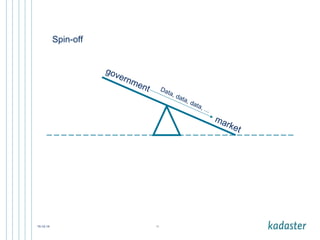
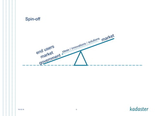
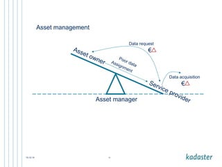
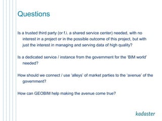

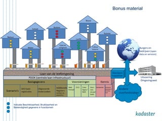

The document outlines the integration of various key registries and public services in the Netherlands, emphasizing the importance of reliable and interoperable spatial data. It discusses the role of Movares as a consultancy in enhancing mobility and infrastructure planning through harmonized data usage. Additionally, it raises questions about the need for trusted third-party entities in managing high-quality data for asset management and government projects.