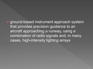
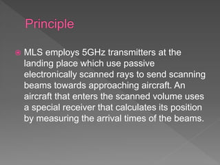
The document describes the components and operation of an Microwave Landing System (MLS), which provides precision guidance for aircraft approaches and landings. Key points include:
- MLS uses antennas to scan microwave beams that an aircraft's receiver uses to calculate its position and guidance information.
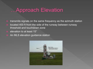
- MLS provides azimuth, elevation, distance, back azimuth and data communication capabilities to pilots for all-weather precision approaches and landings.
- The system includes azimuth and elevation stations to provide lateral and vertical guidance, along with Distance Measuring Equipment for accurate distance information.
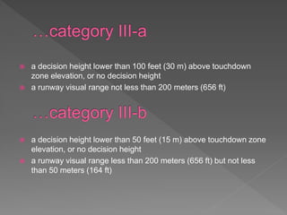
- MLS is capable of Category III precision approaches and landings with very low decision heights or no decision height at all. It can guide aircraft along the