Download to read offline


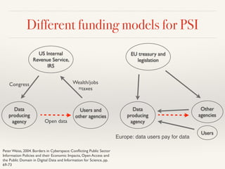
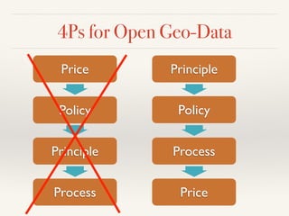
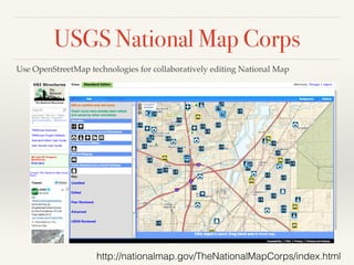
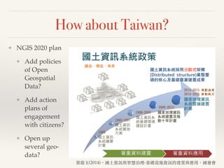
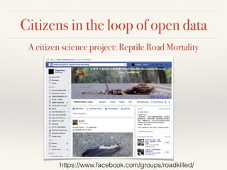
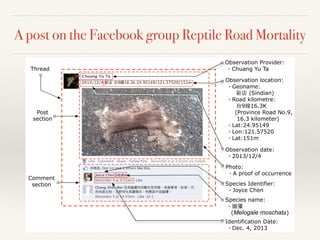
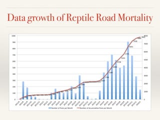
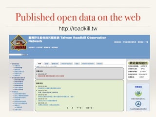
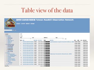
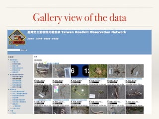

This document discusses open geospatial data and engaging citizens in spatial data infrastructures (SDI). It defines open data and open geospatial data. It notes that while grassroots communities in Taiwan are active in open data, there is a lack of high-level policies. The document advocates for governments to act as platforms rather than vendors of data. It outlines different funding models and proposes a 4P approach (Policy, Principle, Process, Price) for open geospatial data. It highlights examples of engaging citizens from other countries and proposes actions Taiwan could take to open data and involve citizens in its SDI.


![Future Defence Geospatial Environment Future [2000]](https://cdn.slidesharecdn.com/ss_thumbnails/futuregeoenv2000-210923064710-thumbnail.jpg?width=640&height=640&fit=bounds)