Download as PDF, PPTX

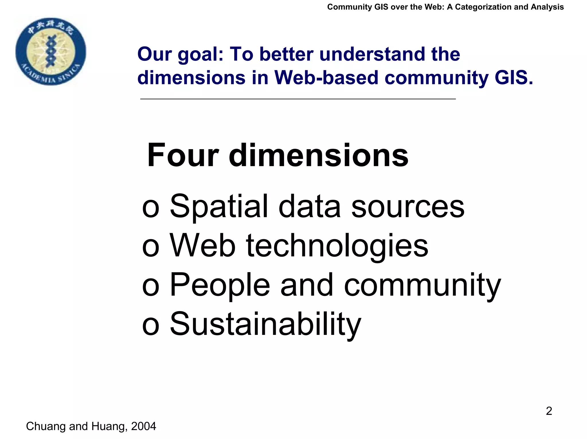


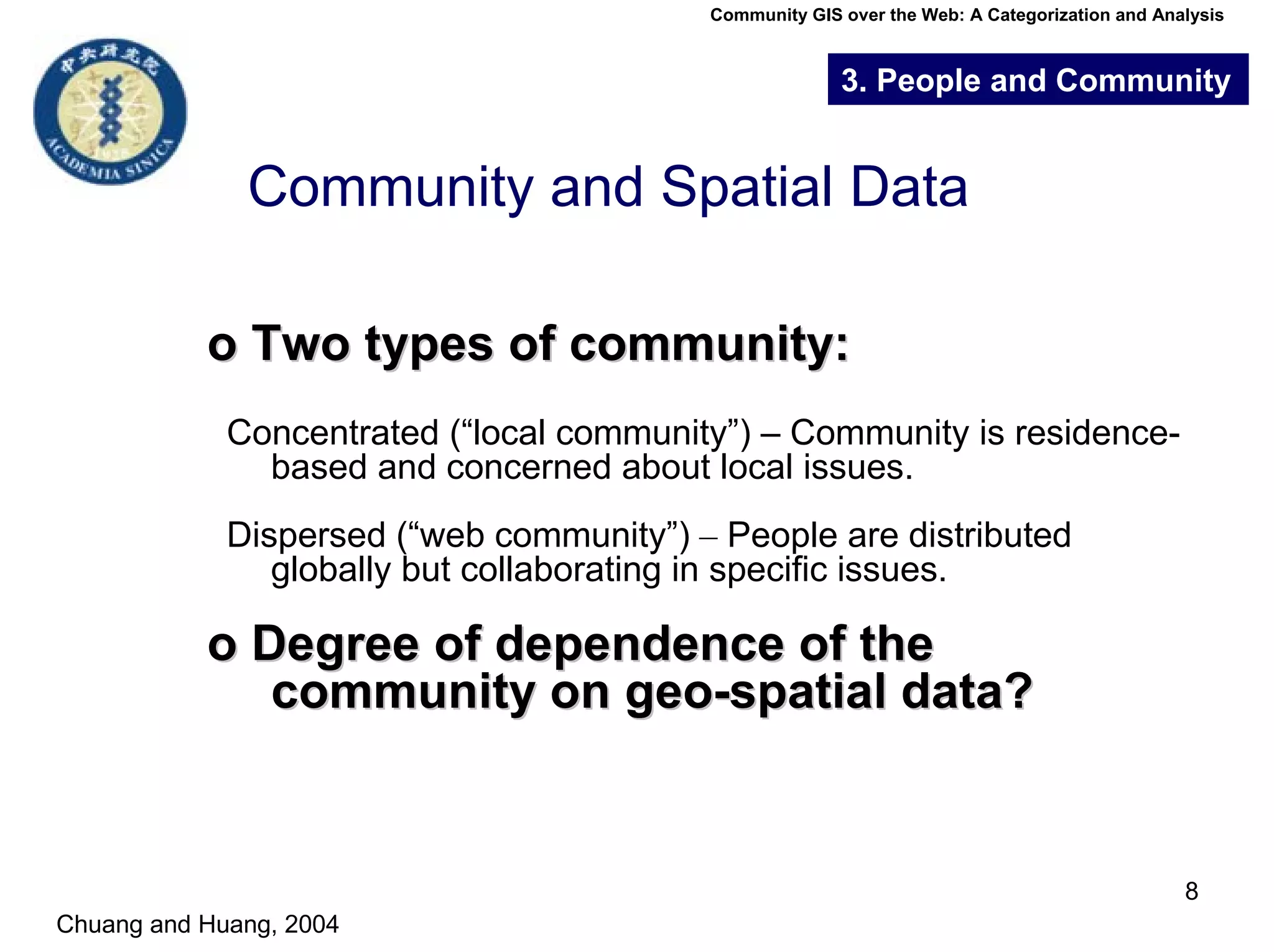


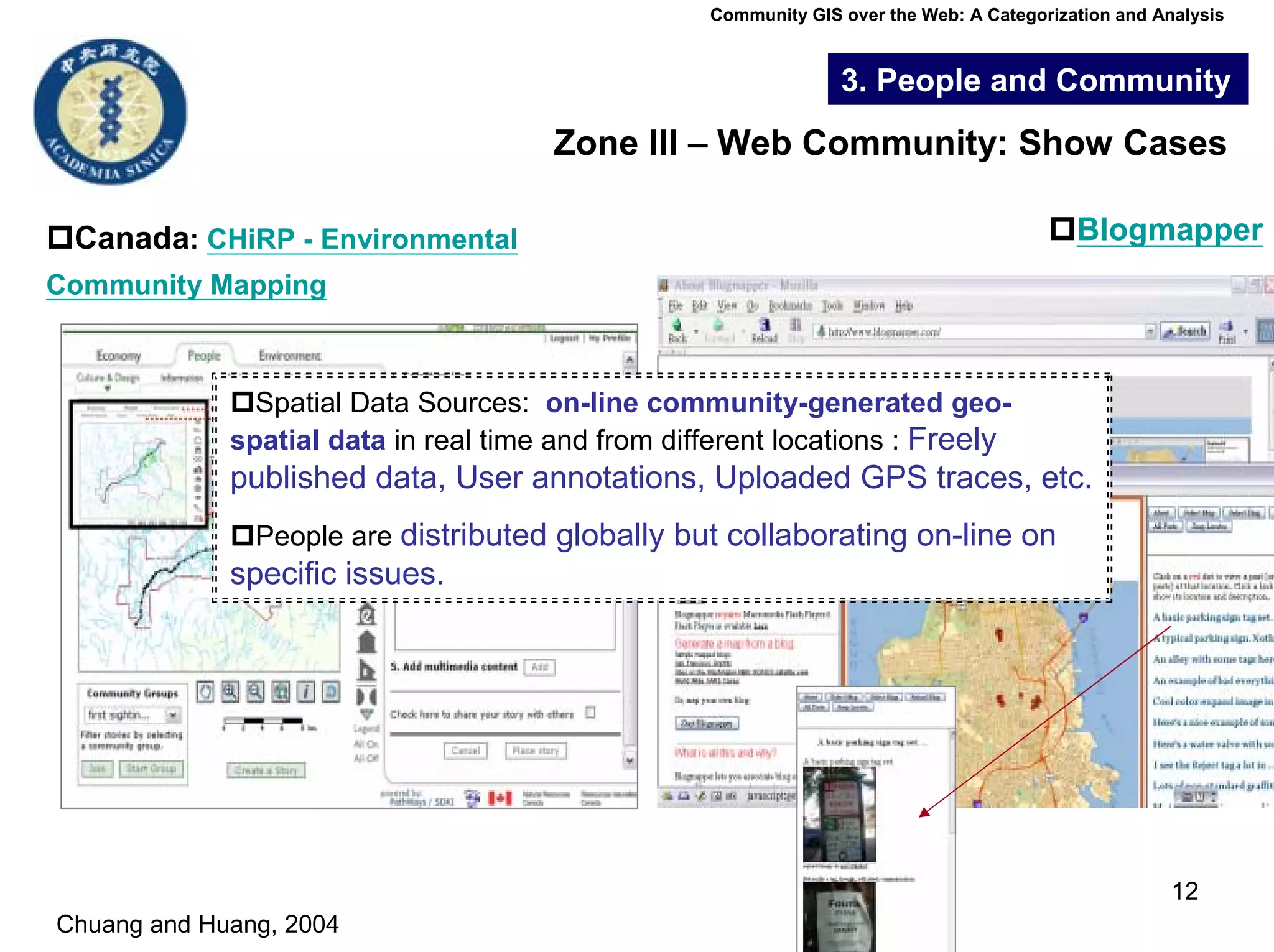


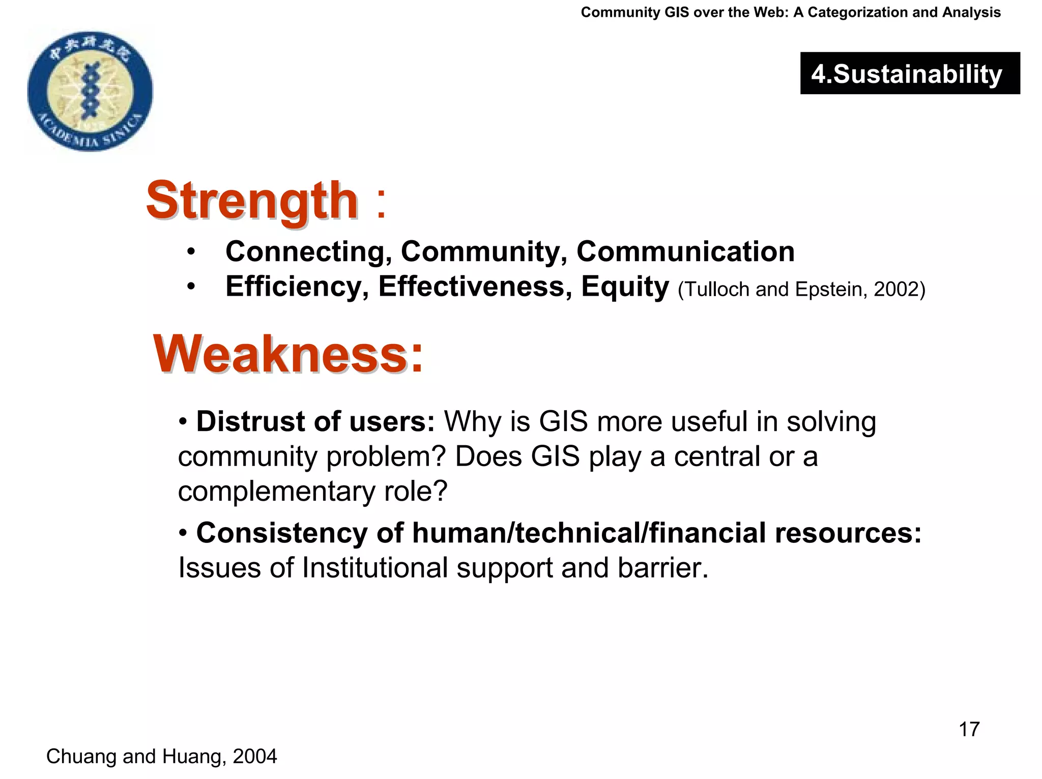
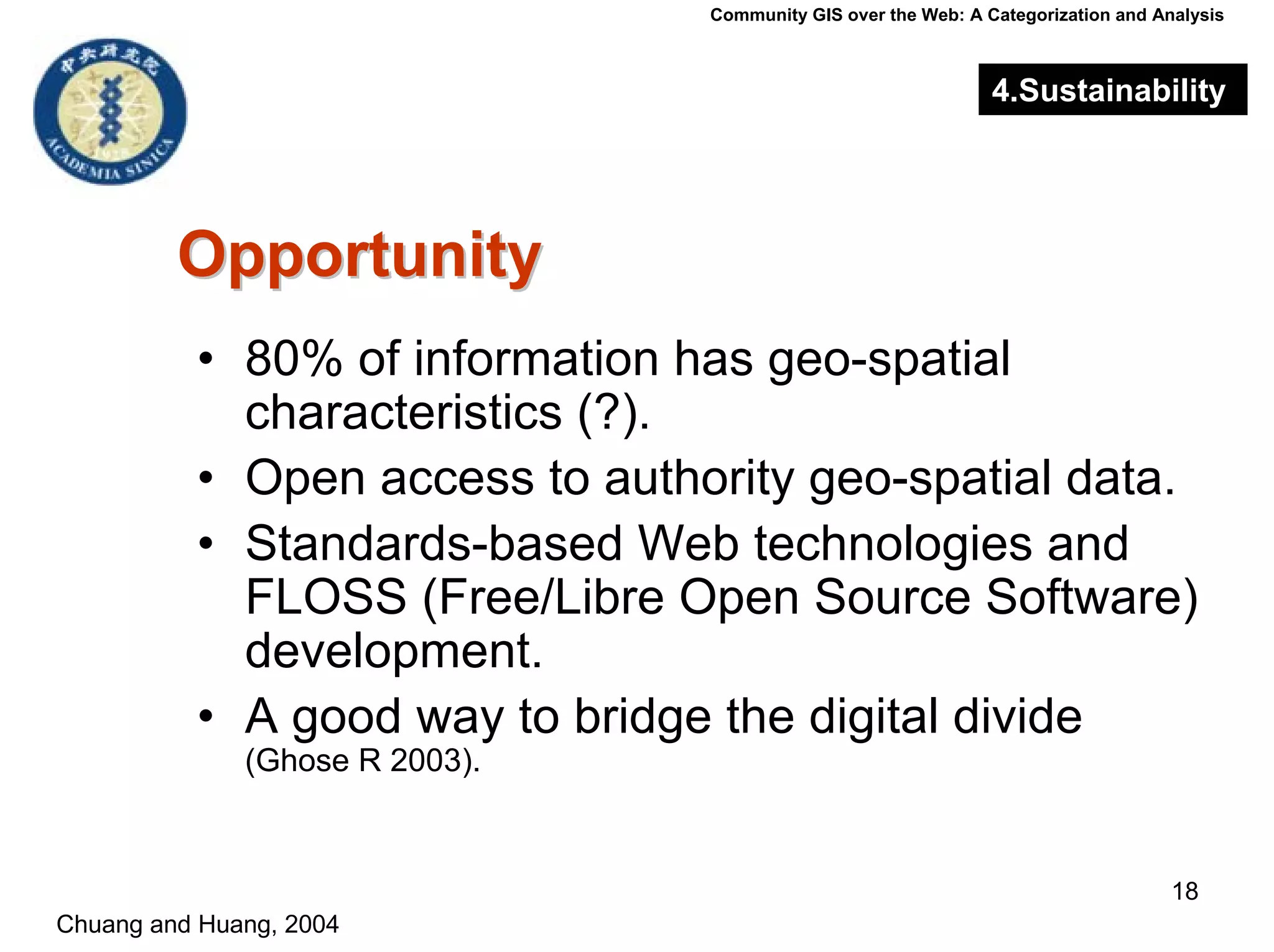
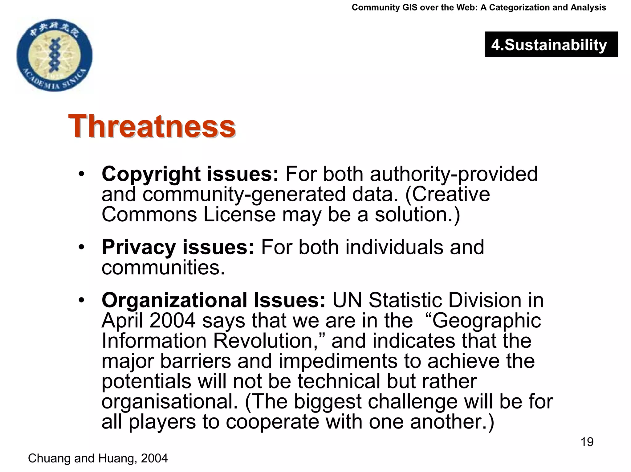

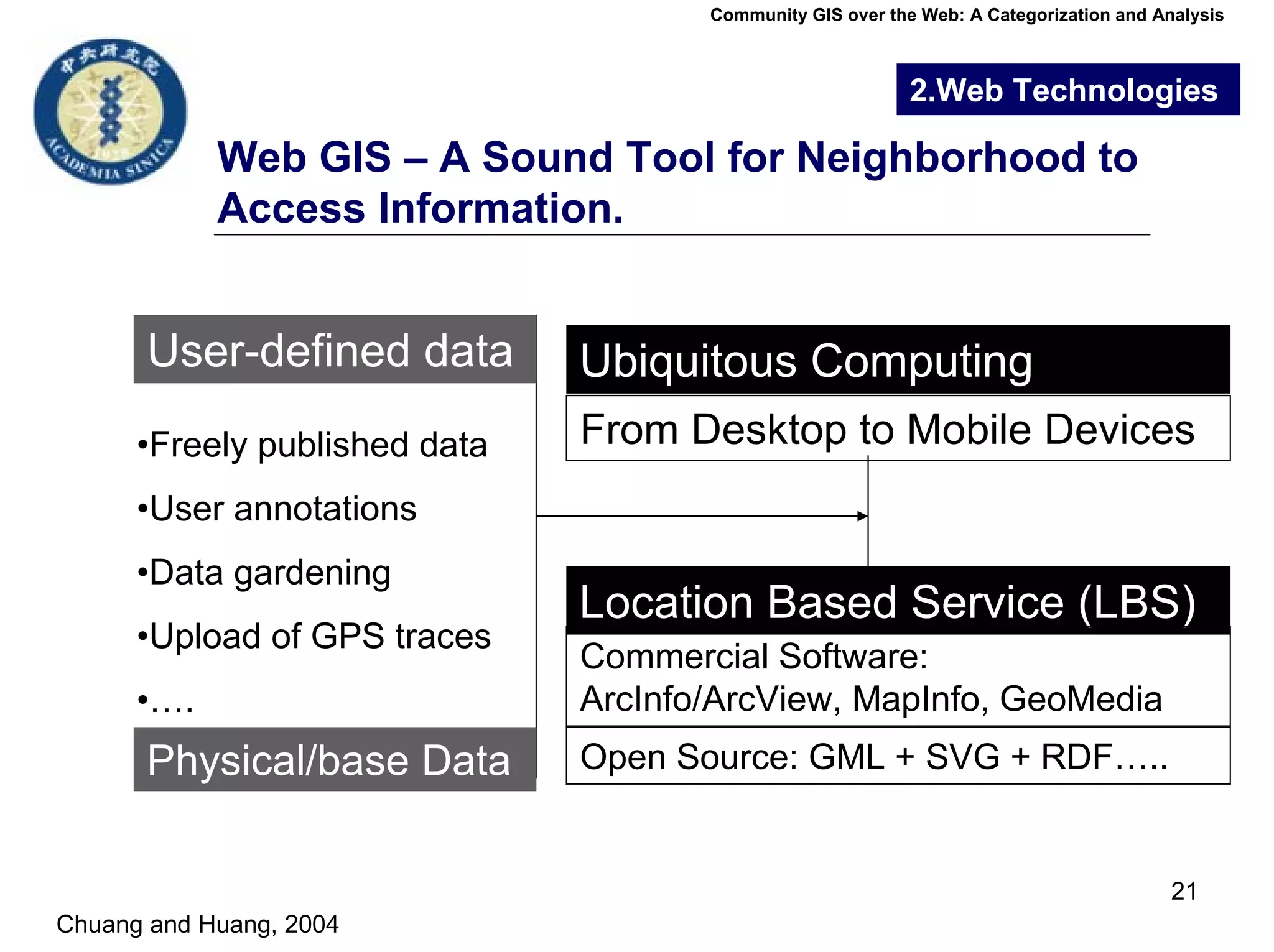
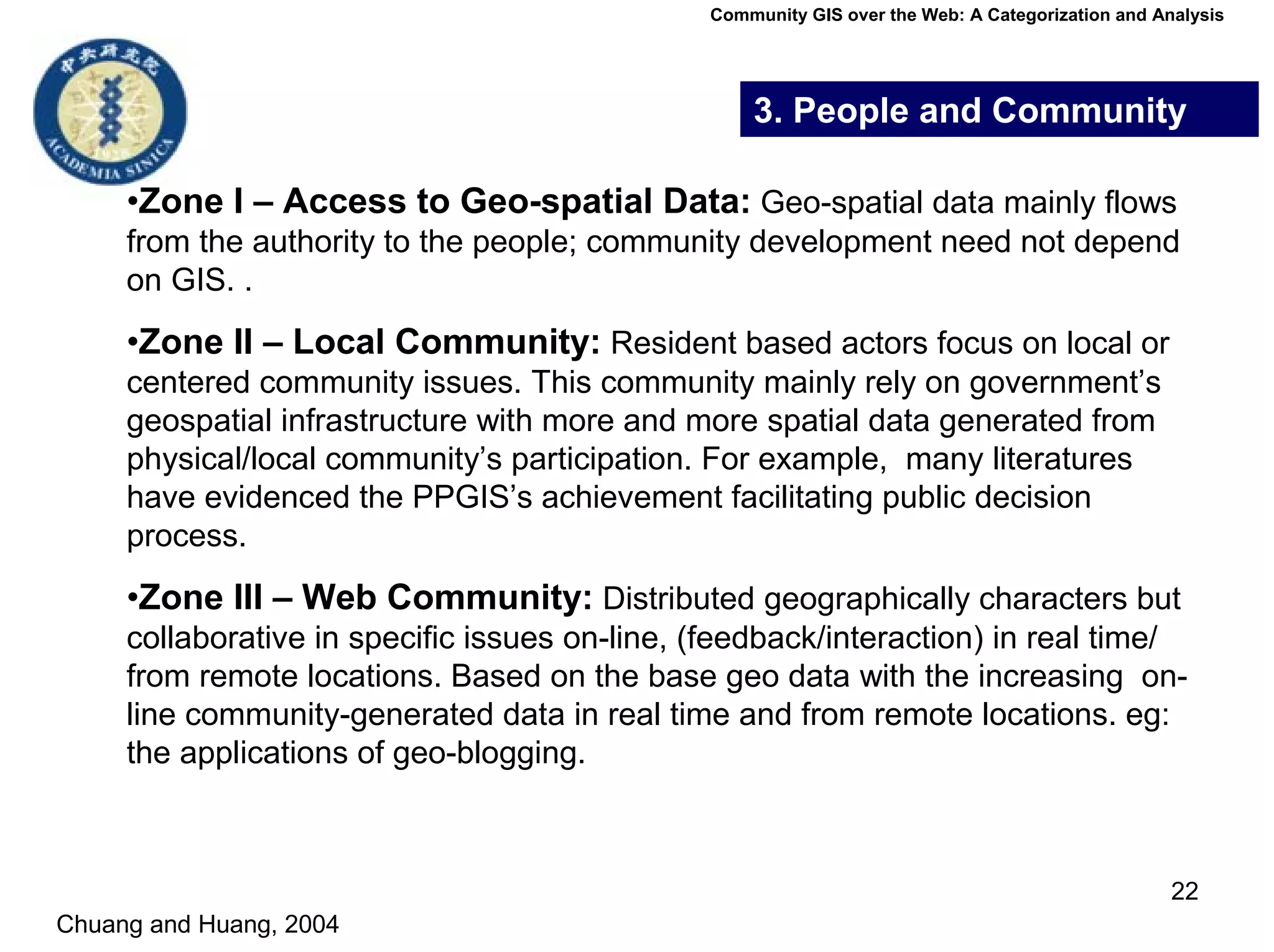

The document categorizes community GIS over the web into four dimensions: spatial data sources, web technologies, people and community, and sustainability. It examines examples of each category, such as authority-provided versus community-generated spatial data and concentrated local communities versus dispersed web communities. The document also analyzes factors important for sustainability, such as strengths of connecting communities, and weaknesses like issues of trust, resources, and organization.


![[Day 3] Building Sustainable Communities](https://cdn.slidesharecdn.com/ss_thumbnails/3-7buildingsustainablecommunities-090415140540-phpapp02-thumbnail.jpg?width=640&height=640&fit=bounds)