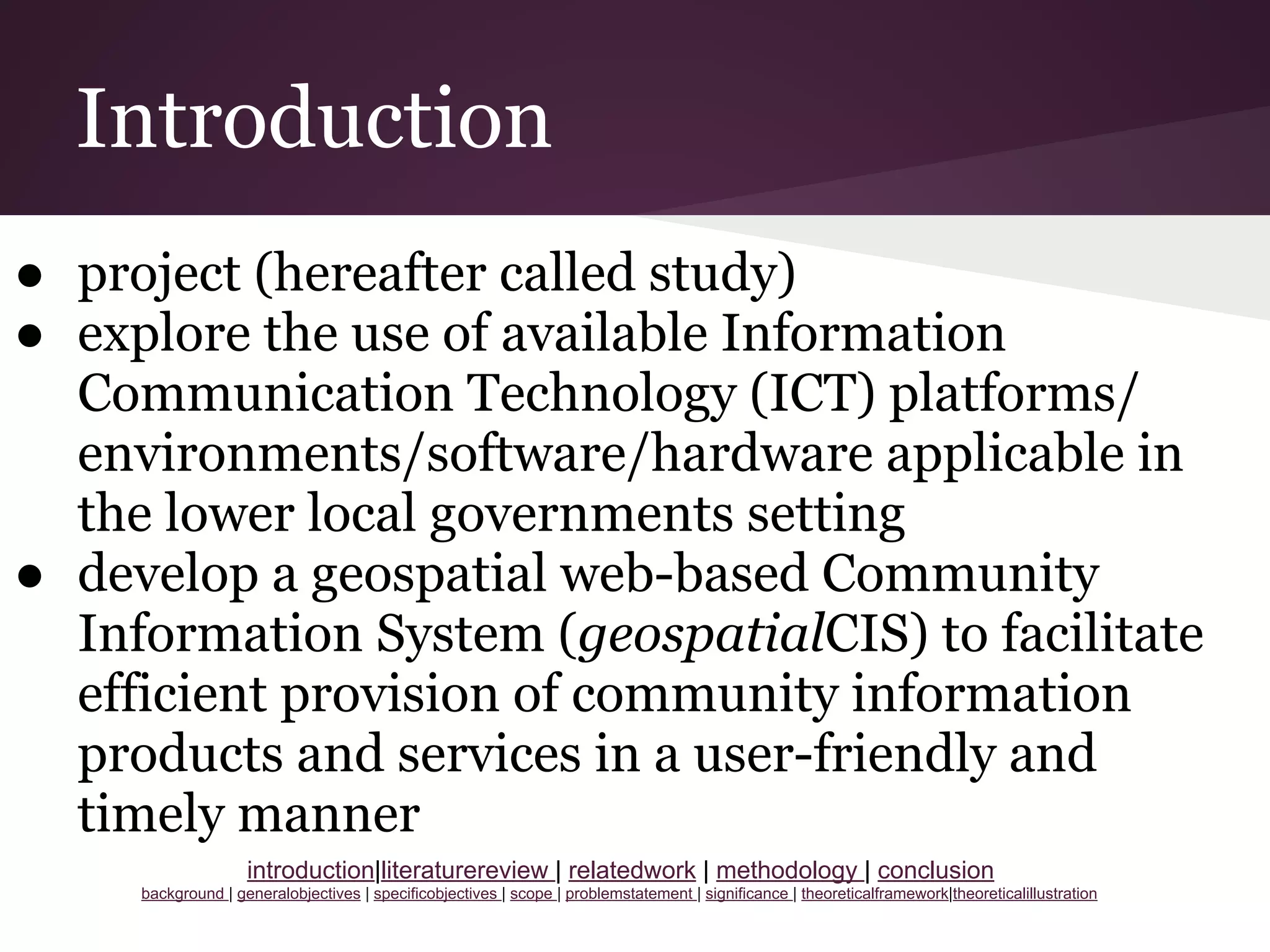
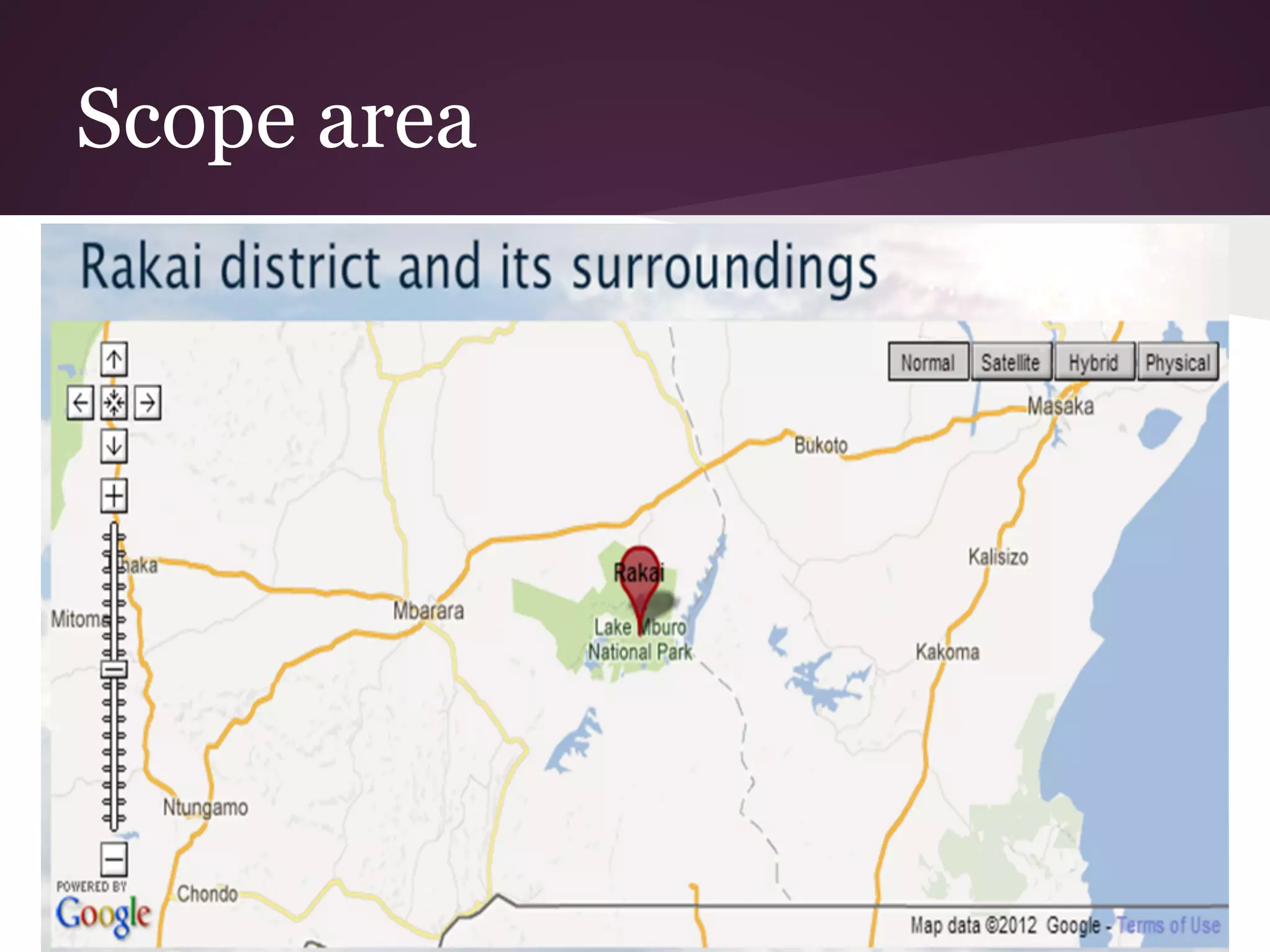
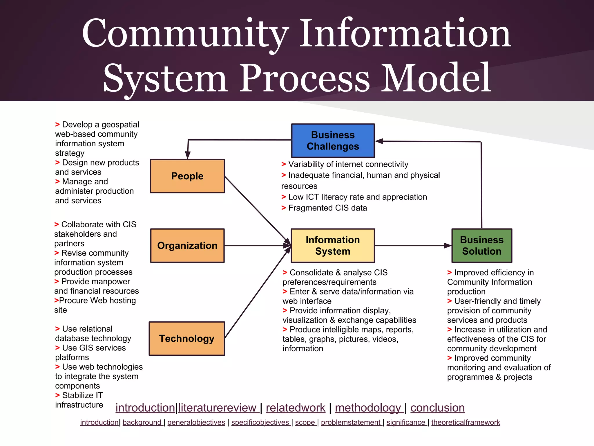
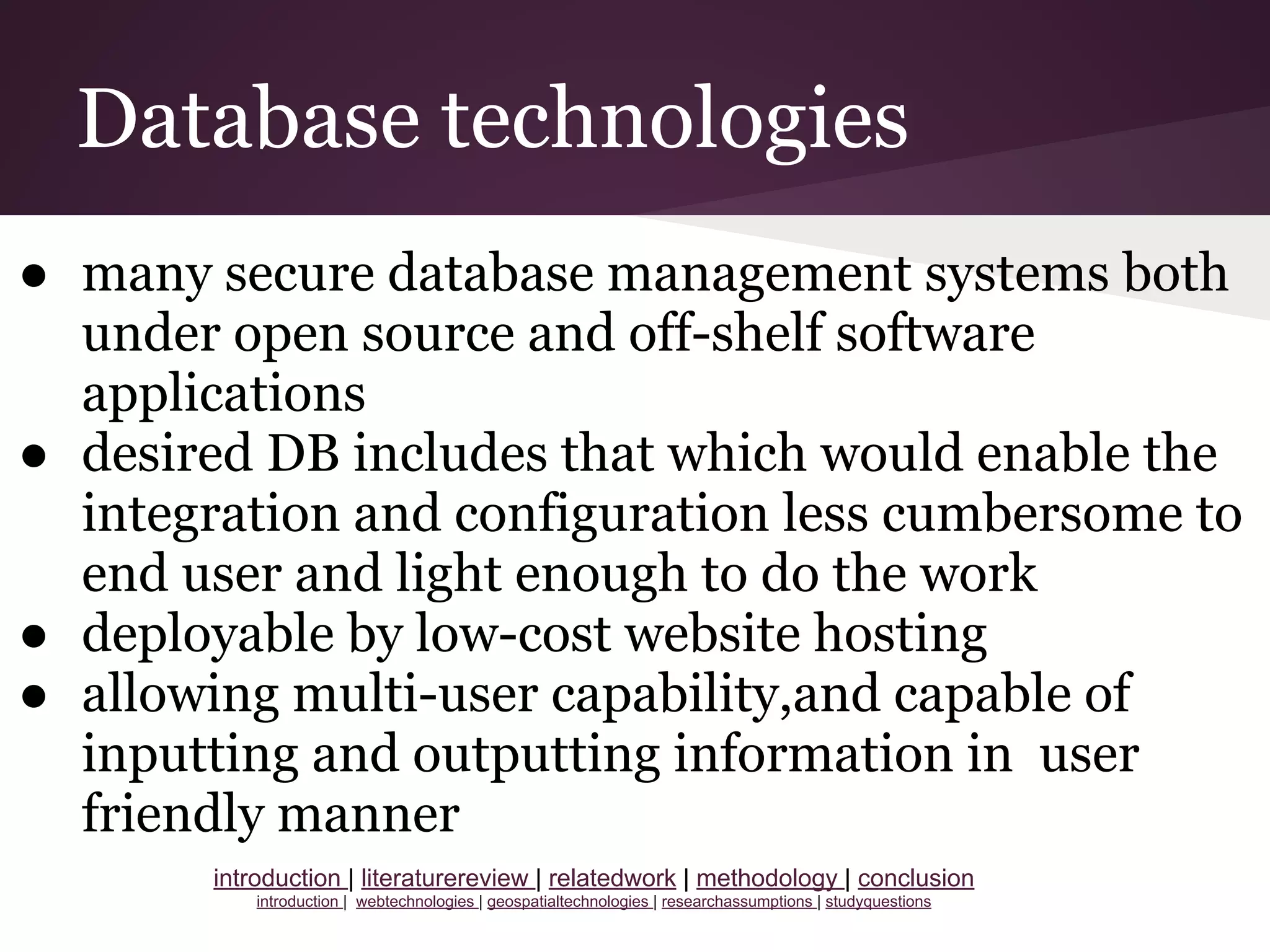
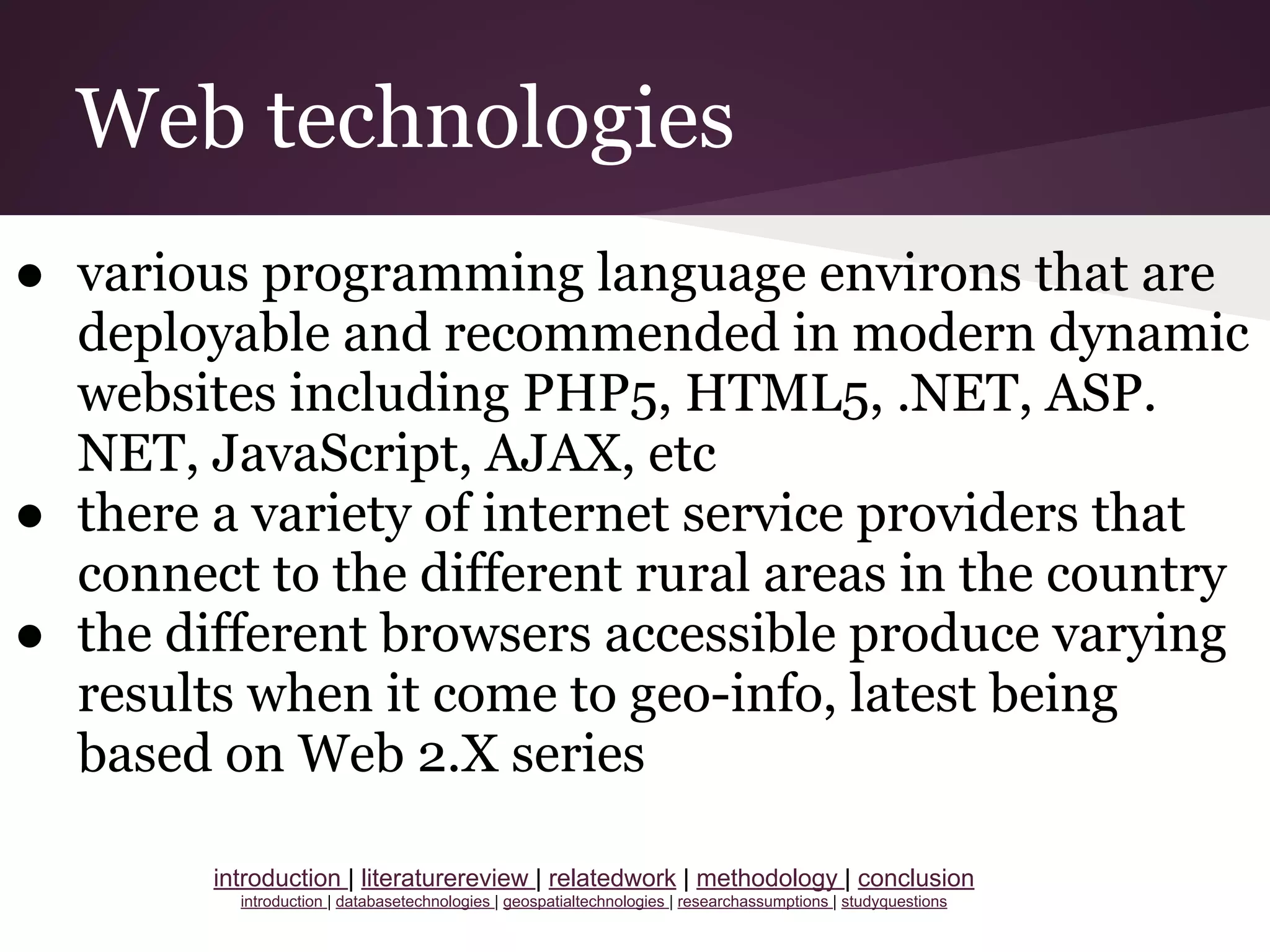
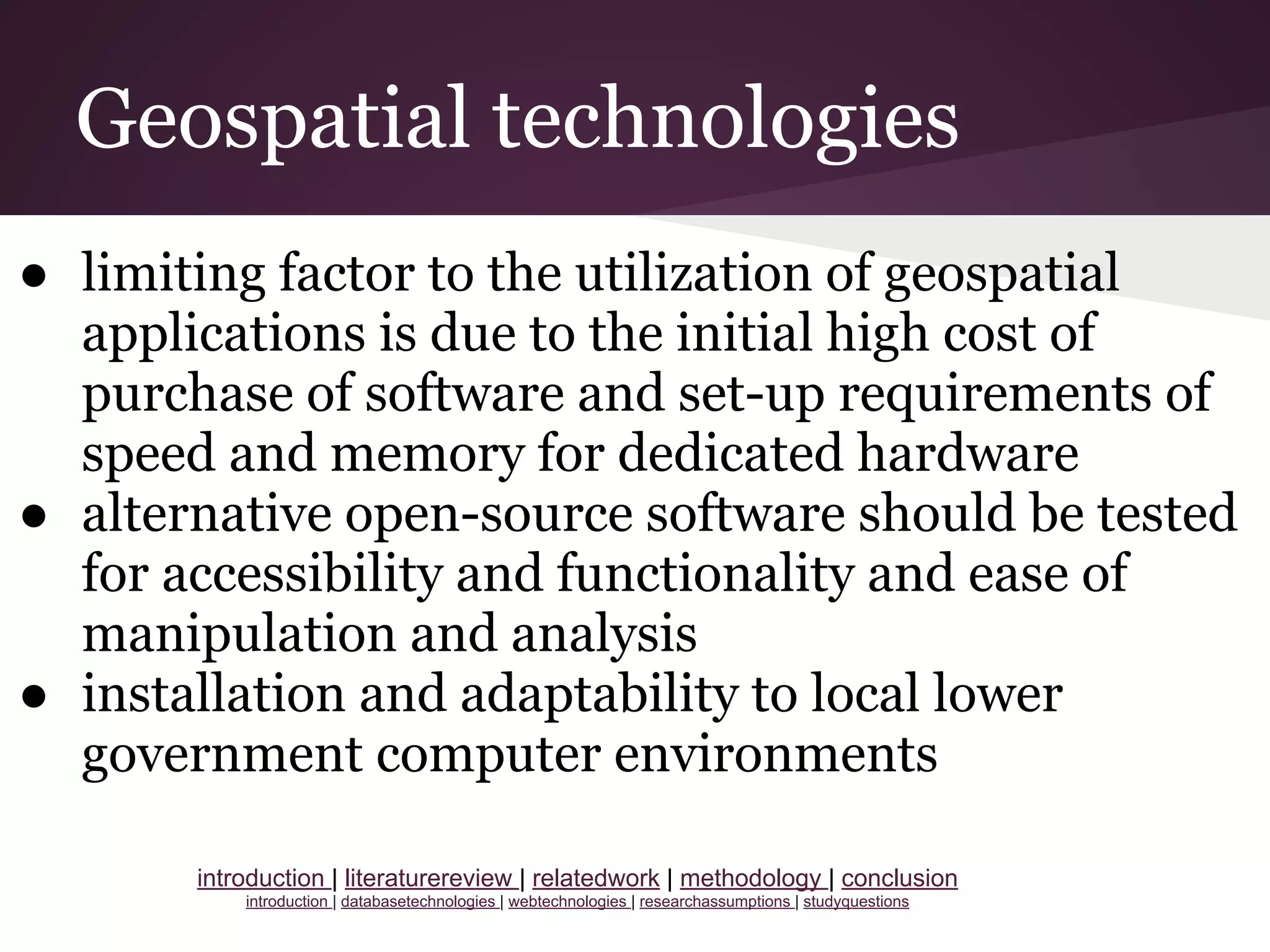
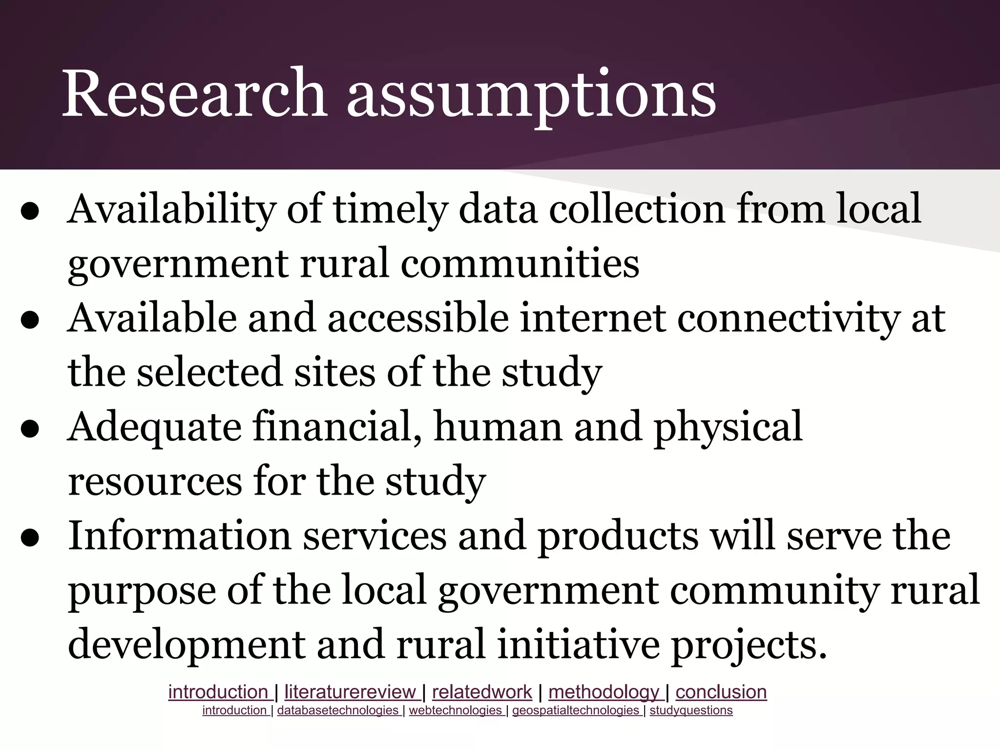
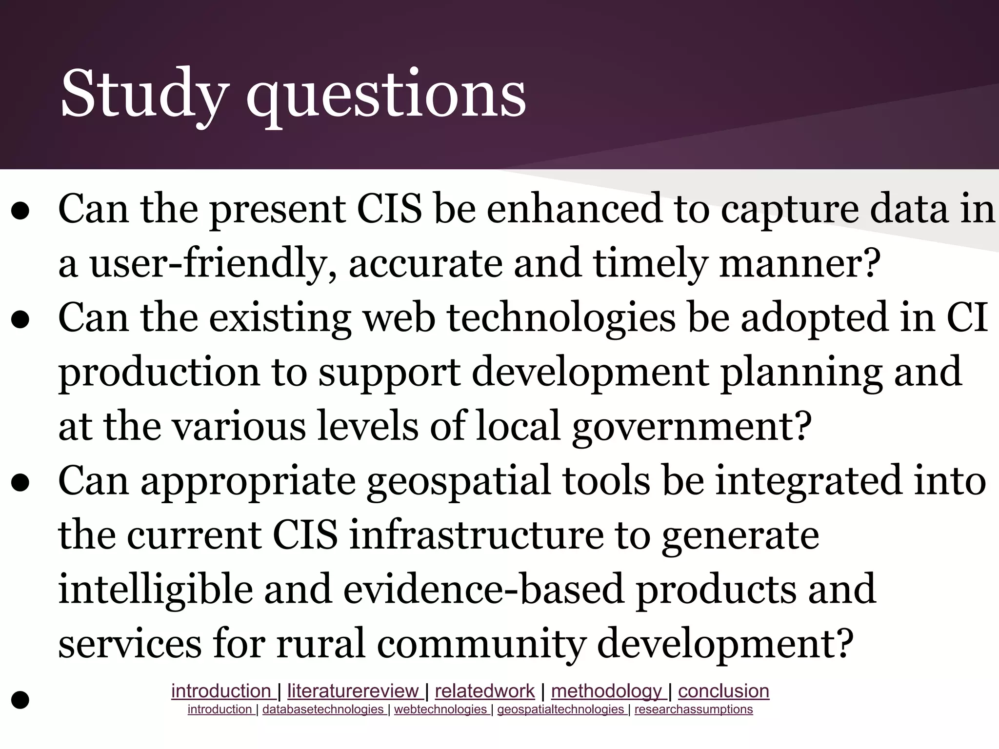
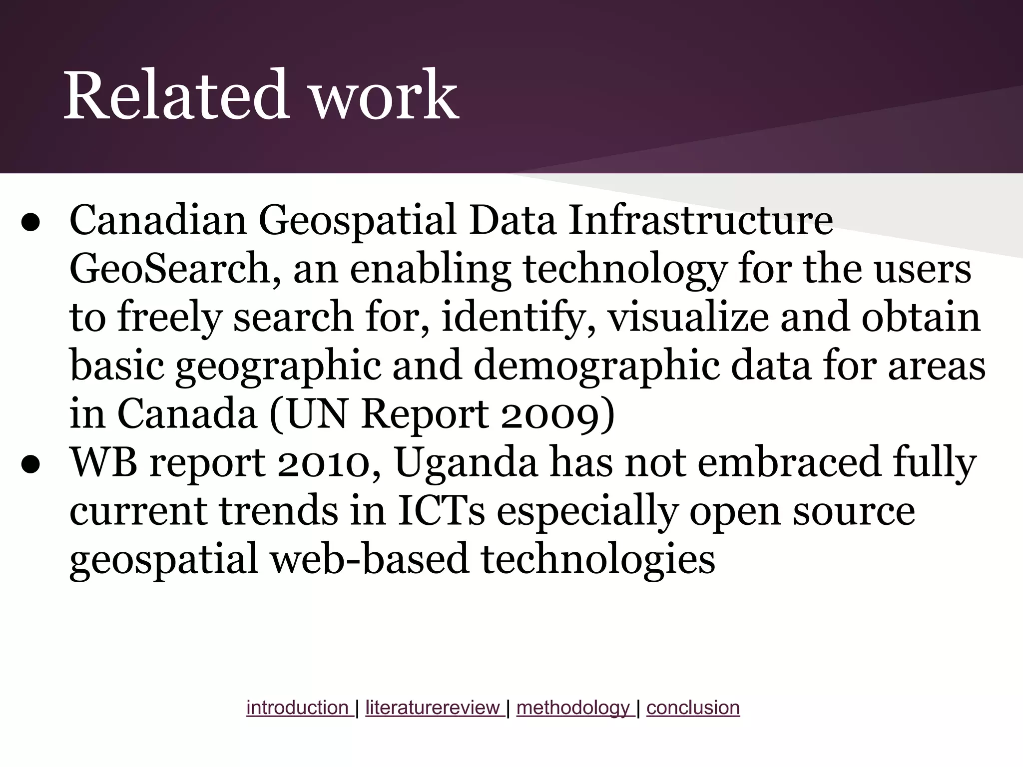
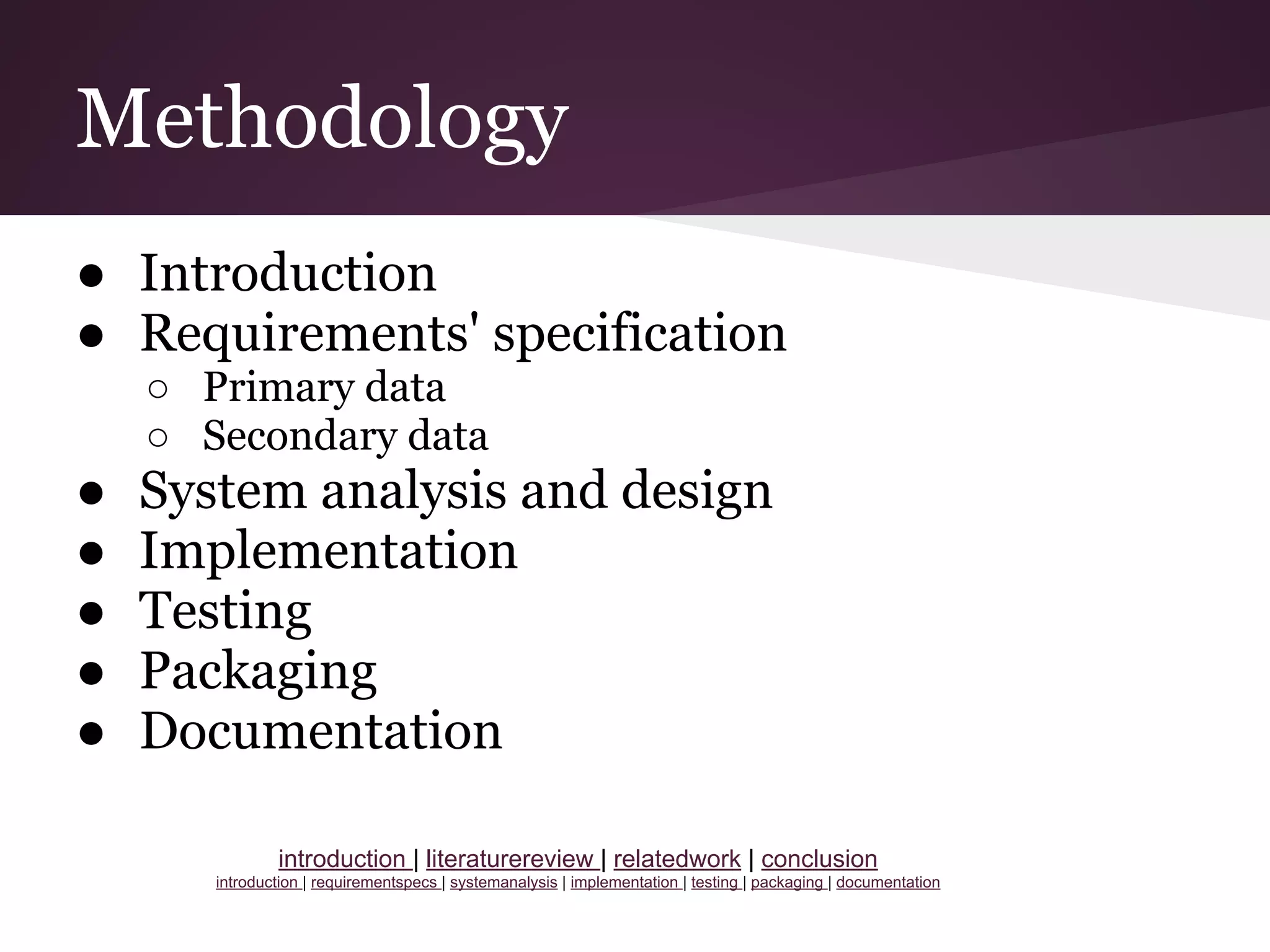
This document presents a project proposal for developing a geospatial web-based community information system (CIS) to facilitate efficient social service delivery in lower local governments of Uganda. The proposal includes an introduction, literature review, related work, methodology and conclusion. The objectives are to construct a CIS spatial database, develop a user-friendly website, and integrate geospatial technologies. The methodology discusses requirements analysis, system design, implementation, testing, packaging and documentation. The conclusion is that a geospatial CIS will contribute to CIS aims by increasing availability of user-friendly community information.


![[Day 4] Big Ideas 1/2](https://cdn.slidesharecdn.com/ss_thumbnails/cgiar-csi-day4-3apr2009-bigideas1-090406152041-phpapp02-thumbnail.jpg?width=640&height=640&fit=bounds)


![Vibe Coding vs. Spec-Driven Development [Free Meetup]](https://cdn.slidesharecdn.com/ss_thumbnails/vibecodingvsspecdrivendevelopment-251209105622-43f455e7-thumbnail.jpg?width=640&height=640&fit=bounds)


